The best cycling routes around Natzweiler
4.3
(230)
2,602
riders
162
rides
Touring cycling around Natzweiler is characterized by its mountainous terrain and significant elevation changes, featuring numerous passes and challenging climbs. The region is situated within a forested landscape, offering routes that traverse dense woodlands and open mountain roads. These paths often connect historical sites and natural reserves, providing a varied cycling experience. The area's geography makes it particularly suitable for advanced touring cyclists seeking demanding routes.
Best touring cycling routes around Natzweiler
- The most popular touring cycling route is War…
Last updated: October 8, 2026
4.0
(9)
52
riders
41.7km
02:47
540m
540m
Hard bike ride. Very good fitness required. Mostly paved surfaces. Suitable for all skill levels.
2.0
(1)
37
riders
58.2km
04:04
1,050m
1,050m
Hard bike ride. Very good fitness required. Mostly paved surfaces. Suitable for all skill levels.

4.5
(2)
71
riders
60.9km
03:50
650m
650m
Hard bike ride. Very good fitness required. Mostly paved surfaces. Suitable for all skill levels.
4.3
(4)
43
riders
37.6km
02:46
830m
830m
Hard bike ride. Very good fitness required. Mostly paved surfaces. Suitable for all skill levels.
4.4
(5)
18
riders
20.7km
01:27
360m
360m
Moderate bike ride. Good fitness required. Mostly paved surfaces. Suitable for all skill levels.
Get access to more routes and recommendations from other explorers.
Already have an account?
Our route recommendations are based on thousands of hikes, rides, and runs completed by other people on komoot.
Start today with a free account
Your next adventure awaits.

Tips from the Community

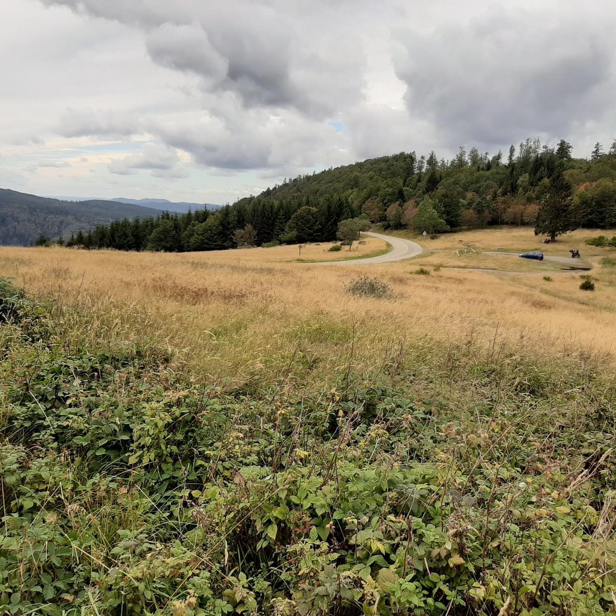
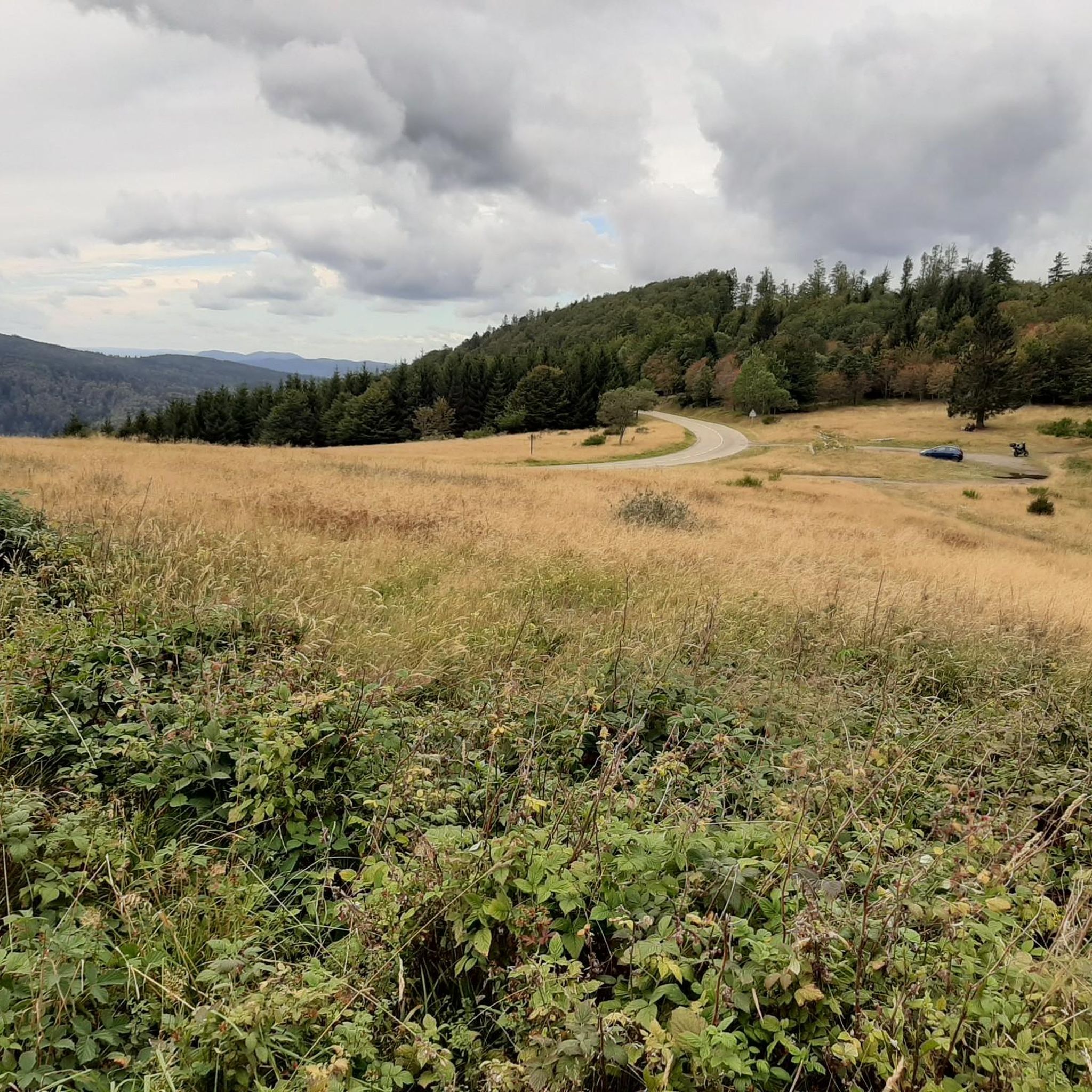
The Champ du Feu, at 1099 meters, is the highest mountain in the Bas-Rhin department in the Vosges in Alsace. It is located between the towns of Belmont and Le Hohwald and consists of a vast plateau with forests, meadows, and moorlands. The area is a popular nature and recreational area. In summer, it is mainly used for hiking, mountain biking, and nature observation. In winter, there is a small ski area with cross-country trails and simple slopes for winter sports. From the Champ du Feu, the La Serva stream originates, which later forms the Cascade de la Serva. In clear weather, the summit offers wide views over the Vosges, the Rhine plain, and even the Black Forest. The area is particularly known for its quiet nature, high moors, sunrises and starry skies, as well as well-marked hiking trails.
0
0

Beautiful route, pleasant but lots of bikers...
0
0


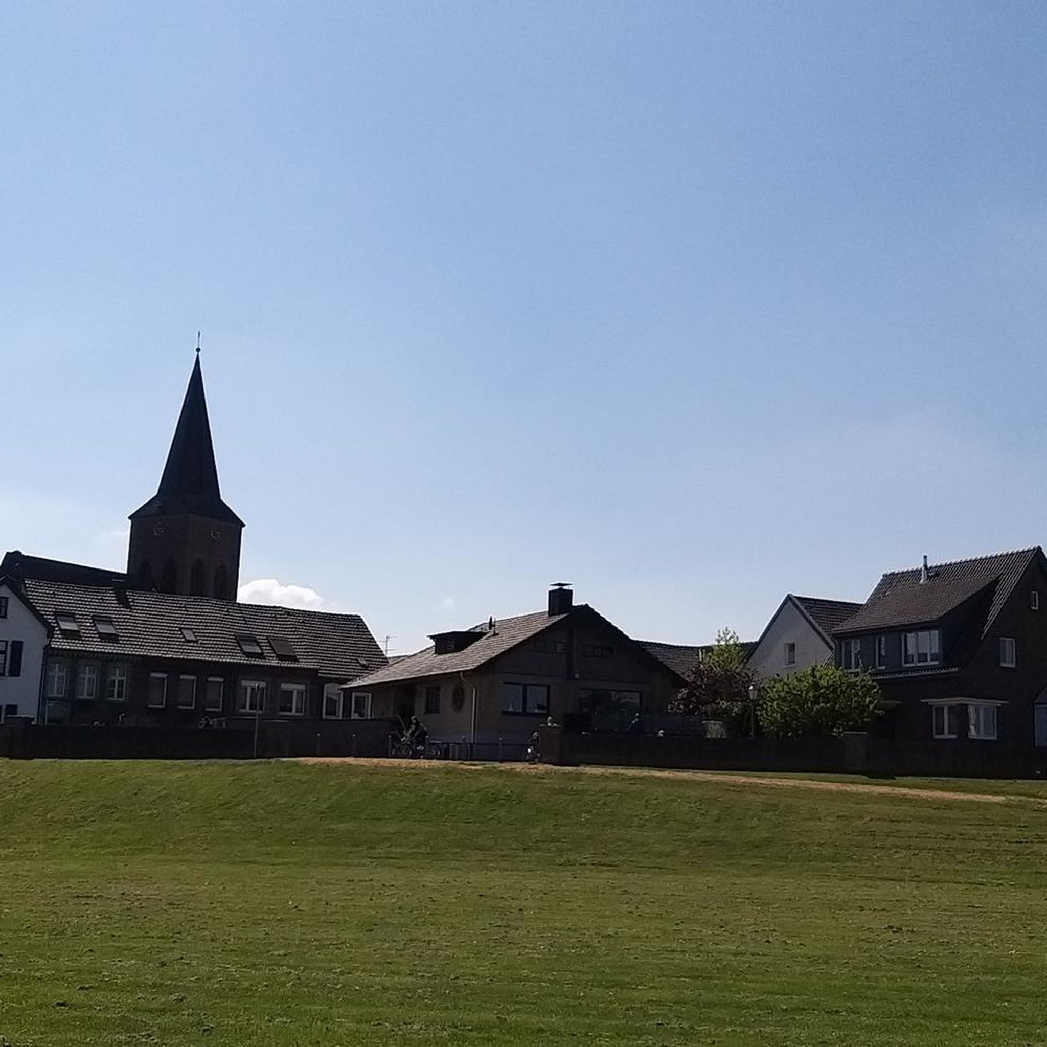
What a beautiful bell tower there is on both sides
0
0

Beautiful hiking destination, there is also a cycling route
0
0

Beautiful climb and lovely view at the pass - Altitude 728m Restaurants (inns) at the pass
1
0

Coffee is also available. You can sit inside or outside.
1
0
Frequently Asked Questions
How many touring cycling routes are available around Natzweiler?
There are over 170 touring cycling routes around Natzweiler, offering a wide range of options for exploring the region's mountainous terrain and forested landscapes.
What is the general difficulty level of touring cycling routes in Natzweiler?
The touring cycling routes around Natzweiler are predominantly challenging, with 112 routes classified as difficult. There are also 44 moderate routes and 16 easier options, but the region is best suited for experienced cyclists seeking demanding climbs and descents.
What kind of terrain can I expect on touring cycling routes near Natzweiler?
You can expect mountainous terrain with significant elevation changes, including numerous passes and challenging climbs. Routes often traverse dense woodlands and open mountain roads, connecting historical sites and natural reserves within a forested landscape.
Are there any circular touring cycling routes in Natzweiler?
Yes, many routes are designed as loops. For example, the challenging War Memorial of Pierre-Percée – Donon Pass loop from Rothau is a popular option, covering 57.2 miles with substantial climbs. Another is the Hantz Pass – Prayé Pass - Rabodeau loop from Rothau, which leads through multiple mountain passes.
Are there any easier touring cycling routes for beginners or less experienced cyclists?
While the region is known for its challenging terrain, there are 16 routes classified as easy. These routes typically feature less elevation gain and shorter distances, providing a gentler introduction to touring cycling in the Natzweiler area.
What historical sites can I explore while touring cycling around Natzweiler?
The routes often connect historical sites. You could cycle past the Donon Temple or explore the area around the Heathen Wall Loop. The Gas Chamber of Struthof – Camp du Feu Nature Reserve loop from Rothau also passes significant historical locations.
Are there any natural landmarks or viewpoints along the touring cycling routes?
Absolutely. Many routes offer stunning natural scenery. You can find routes that lead to the Champ du Feu summit or pass by the Rocher des Géants. The Champ du Feu – Charbonnière Pass loop from Rothau is a great option for scenic views.
What are the best seasons for touring cycling in Natzweiler?
The best seasons for touring cycling in Natzweiler are typically spring and autumn when the weather is milder and the forested landscapes are particularly beautiful. Summer can also be pleasant, but be prepared for potentially warmer temperatures on climbs. Winter often brings snow, making many routes unsuitable for touring bikes.
Are there places to stop for refreshments or food along the touring cycling routes?
Yes, some routes pass through or near villages where you can find places for refreshments. For instance, the Turlupain Organic Bakery – Shaded bicycle path loop from Rothau suggests a stop at a local bakery, indicating that such amenities are available in the area.
What do other touring cyclists say about the routes in Natzweiler?
The touring cycling routes in Natzweiler are highly rated by the komoot community, with an average score of 4.4 stars from over 190 reviews. Cyclists often praise the challenging nature of the routes, the beautiful forested scenery, and the sense of accomplishment after tackling the significant elevation changes.
Where can I find parking for touring cycling routes in Natzweiler?
Parking is generally available in the larger towns and villages that serve as starting points for many routes, such as Rothau. Look for designated public parking areas, especially near trailheads or town centers.
Most popular routes around Natzweiler
Most popular attractions around Natzweiler

Get inspired with the komoot mobile app


Explore more
Browse the best Cycling routes in other regions.
