The best walks and hikes around Traitiéfontaine
4.2
(163)
625
hikers
61
hikes
Hiking around Traitiéfontaine offers access to diverse natural landscapes within the Haute-Saône department of Bourgogne-Franche-Comté. The region is characterized by dense forests, shimmering ponds, and river valleys, providing varied terrain for outdoor activities. Hikers can explore areas ranging from the unique Plateau des 1000 Étangs to the foothills of the Jura Mountains, which feature rolling hills and limestone formations. The network of trails near Traitiéfontaine caters to various skill levels, from gentle riverside paths to more challenging forest routes.
Best…
Last updated: October 9, 2026
4.6
(5)
31
hikers
6.52km
01:44
70m
60m
Easy hike. Great for any fitness level. Easily-accessible paths. Suitable for all skill levels.
4.8
(4)
10
hikers
9.29km
02:29
100m
100m
Moderate hike. Good fitness required. Easily-accessible paths. Suitable for all skill levels.

5.0
(1)
9
hikers
8.54km
02:15
80m
80m
Moderate hike. Good fitness required. Easily-accessible paths. Suitable for all skill levels.
5
hikers
4.29km
01:09
50m
50m
Easy hike. Great for any fitness level. Easily-accessible paths. Suitable for all skill levels.
5.0
(1)
3
hikers
4.54km
01:12
40m
40m
Easy hike. Great for any fitness level. Easily-accessible paths. Suitable for all skill levels.
Get access to more routes and recommendations from other explorers.
Already have an account?
Our route recommendations are based on thousands of hikes, rides, and runs completed by other people on komoot.
Start today with a free account
Your next adventure awaits.



Tips from the Community

A circular structure dating from the 19th century, the round fountain of Breurey testifies to rural ingenuity in capturing, storing, and distributing water. Carved from local stone, it provided the village with a clear and consistent supply, used for daily life as well as for watering livestock. Its perfectly circular shape, rare in Haute-Saône, makes it a unique heritage feature, harmoniously integrated into the landscape of meadows and dry stone walls. A stone circle for ever-flowing water: a quiet memory of the village. (Copilot)
0
0

The Hermite is a small stream that, after its resurgence, runs for about two kilometers in wide meanders before flowing into the Buthiers, a tributary of the Ognon. The Buthiers is a river that comes from the Noirefond funnel north of Rioz. Before its resurgence, the Hermite runs through a recognized underground network for about 1049 m, of which 285 m can be traveled by man... I advise you to take a look at the site: https://www.lieux-insolites.fr/hsaone/ermite/ermite.htm
1
0
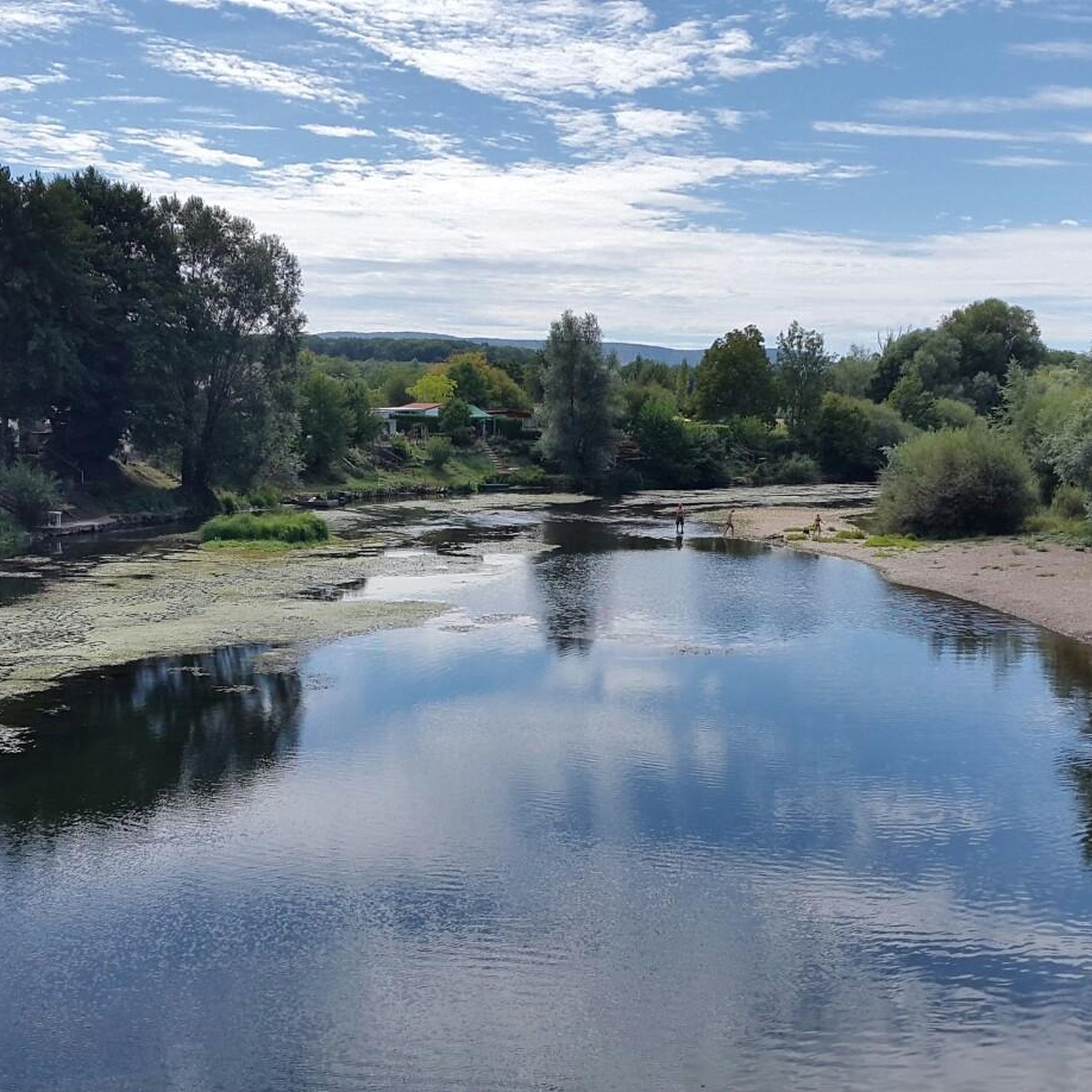
Hike along the Ognon and in pleasant forest and offering charming views of the river.
2
0
Fontaine-lavoir from 1822.
1
0
Frequently Asked Questions
How many hiking trails are available around Traitiéfontaine?
There are over 50 hiking trails around Traitiéfontaine, offering a variety of experiences. You'll find paths suitable for different skill levels, with 21 easy routes and 32 moderate options to explore.
What kind of landscapes can I expect to see while hiking near Traitiéfontaine?
The region around Traitiéfontaine offers incredibly diverse landscapes. You can explore dense forests, shimmering ponds, and river valleys. Highlights include the unique Plateau des 1000 Étangs, often called 'Little French Finland,' with its idyllic setting of forests, meadows, and ponds. You'll also find trails in the foothills of the Jura Mountains, featuring dramatic cliffs, serene lakes, and limestone formations.
Are there any family-friendly hiking options in the Traitiéfontaine area?
Yes, the area provides several family-friendly hiking options. Many trails are designed with wide paths and moderate gradients, making them suitable for all ages. For example, the Lavoir de Palise loop from Palise is an easy 6.5 km path that offers scenic views and passes by a historic lavoir, perfect for a family outing.
Can I bring my dog on the hiking trails around Traitiéfontaine?
Most hiking trails in the region are dog-friendly, allowing you to enjoy the natural beauty with your canine companion. It's always recommended to keep dogs on a leash, especially in areas with wildlife or near livestock, and to check local regulations for specific routes.
Are there any circular hiking routes near Traitiéfontaine?
Yes, many of the trails around Traitiéfontaine are circular, allowing you to start and end your hike at the same point. A popular moderate option is The Hermit network loop from Rioz, which is 9.4 km and navigates through established forest trails, providing a varied experience.
What interesting landmarks or attractions can I see along the hiking trails?
Hiking around Traitiéfontaine offers opportunities to discover historical and natural landmarks. You might encounter picturesque villages, historic churches, and wash-houses. Notable points of interest include the Fort de la Dame Blanche, the Fortified manor of Sorans-lès-Breurey, and the Source of the Romaine and Historic Washhouse of Frondremand. Many routes also offer scenic views of the Ognon River.
What do other hikers enjoy most about the trails in Traitiéfontaine?
The hiking trails in Traitiéfontaine are highly regarded by the komoot community, with an average rating of 4.3 out of 5 stars from over 120 reviews. Hikers often praise the quiet woodlands, the varied terrain, and the well-maintained paths that lead through charming natural and historical sites.
Are there any easy routes for beginners or those looking for a relaxed walk?
Absolutely. For an easy and relaxed walk, consider the View of the Ognon – Lavoir de Palise loop from Palise. This 4.5 km route is perfect for beginners, offering gentle terrain and pleasant scenery without significant elevation changes.
Are there any trails that offer views of rivers or water features?
Yes, the region is rich in water features. Many trails follow the Saône River or pass by the numerous ponds of the Plateau des 1000 Étangs. The Lavoir de Palise – View of the Ognon loop from Palise is a moderate 8.5 km trail that leads through river valleys and offers beautiful views of the Ognon River.
What is the best time of year to go hiking in Traitiéfontaine?
The best time to hike in Traitiéfontaine is generally from spring to autumn (April to October) when the weather is mild and the natural landscapes are at their most vibrant. Spring brings blooming flora, while autumn offers stunning fall foliage. Summer is also pleasant, though some trails might be busier.
Are there options for longer, more challenging hikes near Traitiéfontaine?
While Traitiéfontaine itself offers mostly easy to moderate trails, the broader Bourgogne-Franche-Comté region, including parts of the Jura Mountains and the Ballon d'Alsace, provides more challenging routes with significant elevation changes for experienced trekkers. Within the immediate area, routes like The Hermit network loop from Sorans-lès-Breurey offer a moderate challenge over 9.9 km with more elevation gain.
Most popular routes around Traitiéfontaine
Most popular attractions around Traitiéfontaine

Get inspired with the komoot mobile app


Explore more
Browse the best Hikes in other regions.
