The best cycling routes around Geishausen
4.4
(582)
11,144
riders
189
rides
Touring cycling routes around Geishausen provide access to the challenging mountain terrain of the Vosges, characterized by significant elevation changes and scenic passes. The area features routes that ascend to high points like the Grand Ballon, offering extensive views. Cyclists can expect a landscape of forested slopes and open mountain ridges.
Best touring cycling routes around Geishausen
- The most popular touring cycling route is Col Amic Pass – Grand Ballon loop from Saint-Amarin, a 28.7 miles (46.2 km) trail…
Last updated: October 15, 2026
4.8
(12)
1,208
riders
45.3km
03:29
1,160m
1,160m
Hard bike ride. Very good fitness required. Mostly paved surfaces. Suitable for all skill levels.
4.8
(17)
357
riders
49.6km
03:52
1,250m
1,250m
Hard bike ride. Very good fitness required. Mostly paved surfaces. Suitable for all skill levels.

4.8
(8)
155
riders
46.2km
03:05
720m
720m
Hard bike ride. Very good fitness required. Mostly paved surfaces. Suitable for all skill levels.
5.0
(1)
63
riders
Easy bike ride. Great for any fitness level. Mostly paved surfaces. Suitable for all skill levels.
5.0
(2)
73
riders
21.0km
01:54
800m
800m
Hard bike ride. Very good fitness required. Mostly paved surfaces. Suitable for all skill levels.
Get access to more routes and recommendations from other explorers.
Already have an account?
Our route recommendations are based on thousands of hikes, rides, and runs completed by other people on komoot.
Start today with a free account
Your next adventure awaits.

Other adventures around Geishausen

Tips from the Community

Le Grand Ballon (1325 m) forms the highest point of the Vosges mountains and is one of the most famous destinations for cyclists in the mountain range. Although the summit itself is slightly higher (1424 m), the mountain pass is located at an altitude of approximately 1325 meters on the side of the Route des Crêtes. From here, vast panoramas open up over the Vosges, the Alsace plain, and on clear days even as far as the Black Forest and the Alps. For cyclists, Le Grand Ballon is a legendary climb. Long and often challenging ascents lead from the various valleys to this iconic mountain. The final kilometers above the tree line offer an impressive scenery of mountain meadows, rocky outcrops, and expansive vistas.
6
0
The Ferme-Auberge du Haag is a traditional mountain inn located near the Col du Haag (1233 m), at the foot of the Grand Ballon. For generations, the farms on the higher Vosges ridges have been welcoming hikers, cyclists, and winter sports enthusiasts. The Haag farm is situated in the middle of mountain pastures, with a beautiful view over the southern Vosges and the Grand Ballon.
6
0
When you drive from the Route des Crêtes towards Le Grand Ballon, you pass the Col du Haag (1233 m) almost unnoticed. Yet, this pass marks a special point on the southern flank of the highest mountain in the Vosges. Here, steep roads from the Thurdal leave the wooded slopes and reach the open heights of the massif. From the col, a typical Vosges landscape unfolds with mountain meadows, scattered farms, and sweeping views. The proximity of the Grand Ballon is felt everywhere: the imposing summit towers above the pass and forms the natural goal of the final climbing kilometers. For cyclists, the Col du Haag is mainly known as the point where difficult climbs from the valleys converge before the road continues to rise to the highest point of the Vosges.
6
0
Le Markstein (1184 m) is meer dan alleen een kruispunt op de Route des Crêtes. Het is echter een echte bergpas en het hoogste punt van de oversteek tussen het Lauch- en Thurdal. Het ligt in het hart van het Vogezenmassief, midden een populair wintersportgebied dat nauw verbonden is met de Grand Ballon
6
0
Le Markstein is a well-known winter sports and outdoor resort in the High Vosges, located at an altitude between 1020 and 1268 meters. The resort is situated directly on the iconic Route des Crêtes and forms an important crossroads and recreational area within the municipalities of Oderen and Lauw (near Wildenstein). At Le Markstein, you will find several traditional Fermes-Auberges and hotels where you can taste the local repas marcaire (a traditional hearty meal from the Vosges). Additionally, the location has gained significant fame in cycling; it is regularly the setting for tough mountain stages in the Tour de France (and the Tour de France Femmes), often as the final challenge after the climbs of Petit Ballon and Platzerwasel.
6
0
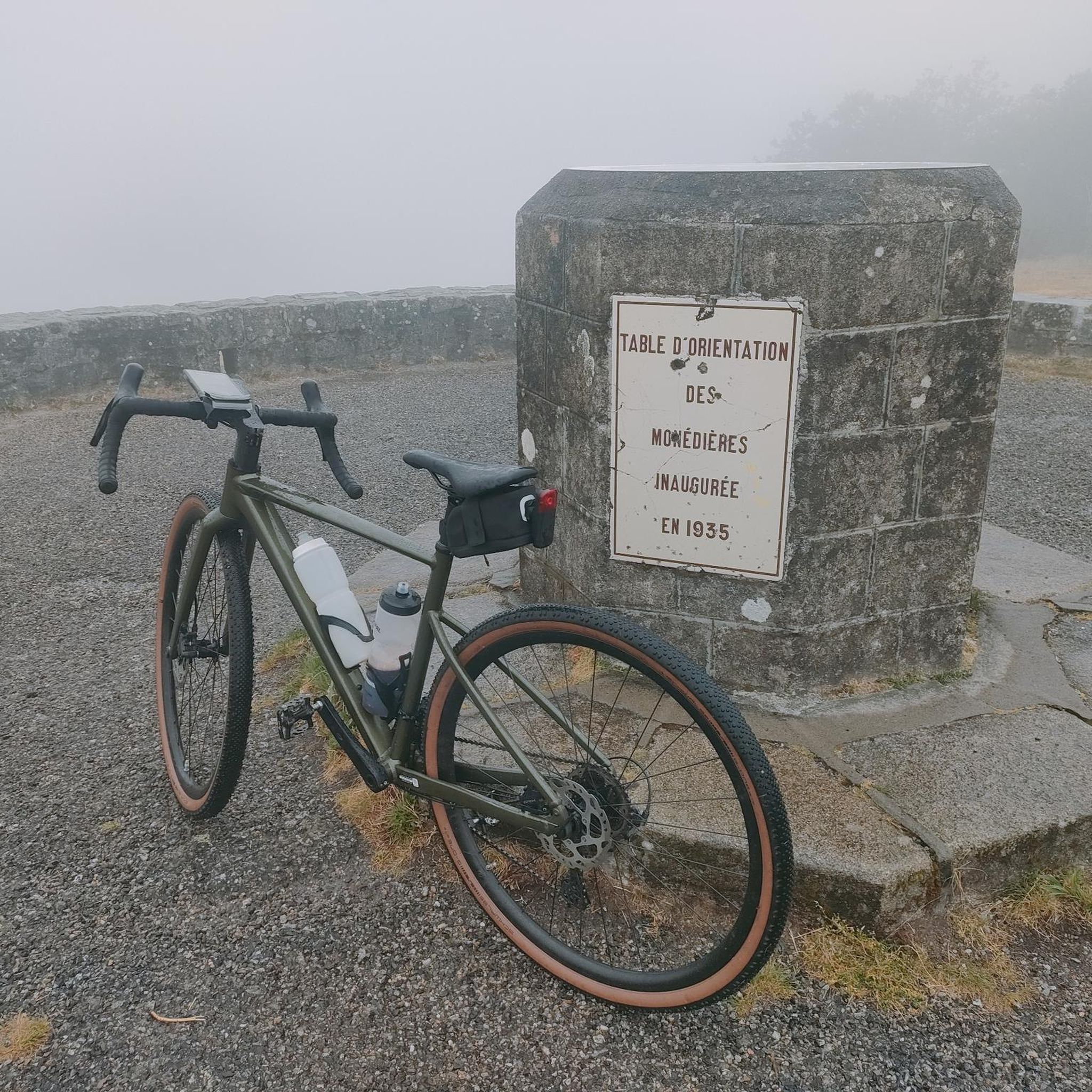
The Route des Crêtes (from the D430 near Rothenbach) is one of the most beautiful ridge roads in Europe. The road was originally built in 1914 by the French army to supply the troops at the front during World War I. Today, it is an iconic panoramic route that connects the main peaks of the Vosges.
1
0
This view is even more beautiful if you have climbed via the Col de Bramont to the col du Rodenbach. So recognizable.
6
0
The Route des Crêtes (the D430 near Rothenbach) is one of the most beautiful ridge routes in Europe. The road was originally built in 1914 by the French army to supply troops at the front in World War I. Today, it is an iconic panoramic route that connects the main peaks of the Vosges.
6
0
Frequently Asked Questions
How many touring cycling routes are available around Geishausen?
There are over 170 touring cycling routes around Geishausen, offering a wide range of options for exploring the challenging mountain terrain of the Vosges.
What is the general difficulty level of touring cycling routes in Geishausen?
Touring cycling around Geishausen is characterized by significant elevation changes and mountain passes. The majority of routes are classified as difficult (93 routes), with a good number of moderate (44 routes) and easy (34 routes) options also available.
Are there any circular touring cycling routes in the Geishausen area?
Yes, many routes are designed as loops, allowing you to start and end in the same location. For example, the Col Amic Pass – Grand Ballon loop from Saint-Amarin is a popular circular route featuring substantial climbs.
What kind of scenery can I expect on touring bike trails near Geishausen?
Cyclists can expect a landscape of forested slopes and open mountain ridges, with routes ascending to high points like the Grand Ballon, offering extensive panoramic views. The area is defined by its challenging mountain terrain and scenic passes.
What are some notable landmarks or natural attractions to see along the touring cycling routes?
The routes often pass by significant natural features. You can explore various mountain passes such as Markstein, Haag Pass, and Petit Ballon Pass. Additionally, several beautiful lakes are in the vicinity, including Ballon Lake and Lac des Perches (Star Lake).
Are there any advanced touring bike trails for experienced cyclists?
Absolutely. The region is known for its challenging terrain. Routes like the Grand Ballon – Col Amic Pass loop from Rimbach-près-Guebwiller, covering 45.8 km with over 1300 meters of elevation gain, are ideal for advanced touring cyclists seeking significant climbs.
What do other touring cyclists say about the routes in Geishausen?
The routes in Geishausen are highly rated by the komoot community, with an average score of 4.4 stars from more than 400 reviews. Over 8,000 touring cyclists have used komoot to explore the varied terrain, often praising the challenging climbs and panoramic views from high points like the Grand Ballon.
How long do the touring cycling routes typically take to complete?
Route durations vary significantly based on distance and elevation. For instance, the Col Amic Pass – Grand Ballon loop from Goldbach-Altenbach, a 19.6 km difficult trail, typically takes about 1 hour 40 minutes, while longer routes can take over 3 hours.
Are there routes that offer panoramic views?
Yes, many routes ascend to high points and along ridge roads, providing extensive panoramic views. The Grand Ballon – La route des crêtes loop from Col du Grand Ballon is a difficult 52.5 km path specifically noted for its panoramic views along the Vosges ridge roads.
Can I find routes that focus on specific mountain passes?
Yes, the region is rich in mountain passes. Routes often incorporate multiple passes, such as the Grand Ballon – Grand Ballon loop from Col du Grand Ballon, which features significant climbs and descents around the prominent Grand Ballon.
Most popular routes around Geishausen
Most popular attractions around Geishausen

Get inspired with the komoot mobile app


Explore more
Browse the best Cycling routes in other regions.
