The best road cycling routes around Émancé
4.4
(286)
4,164
riders
313
rides
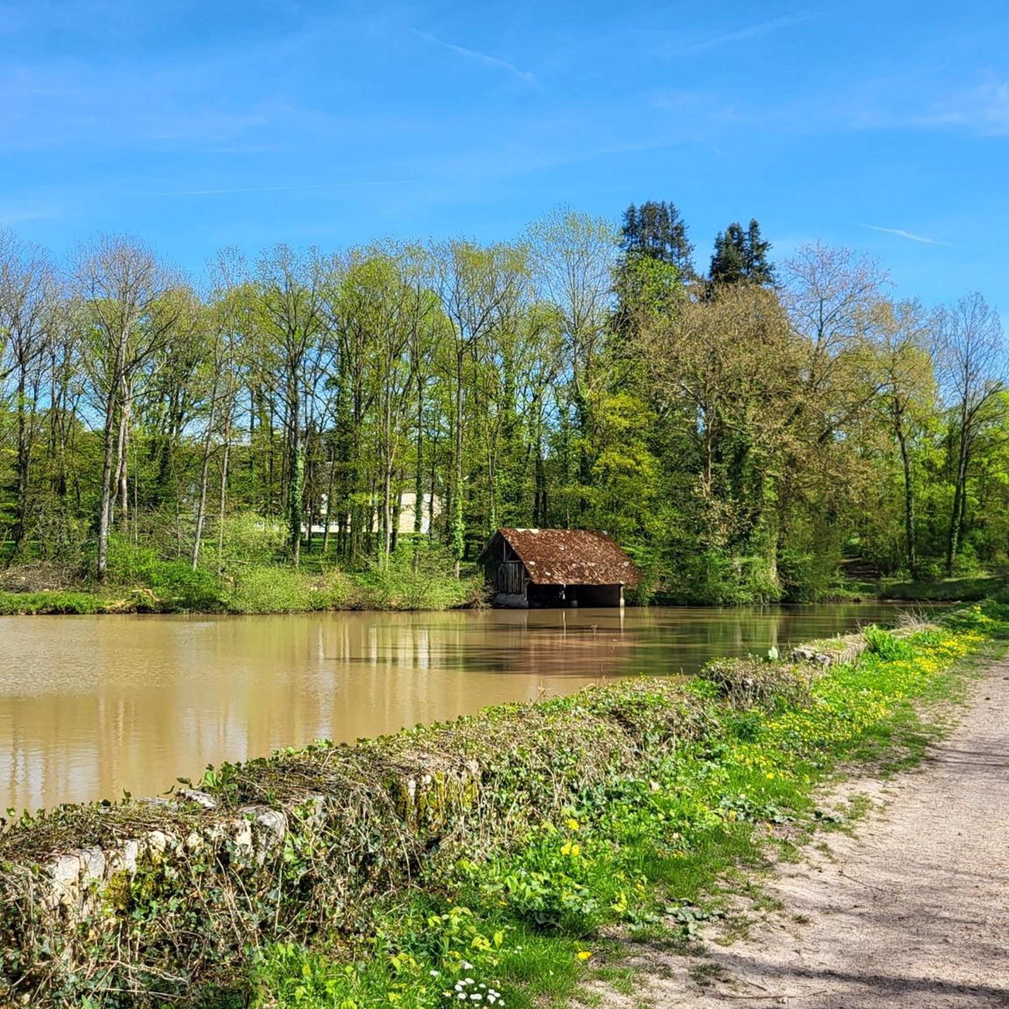
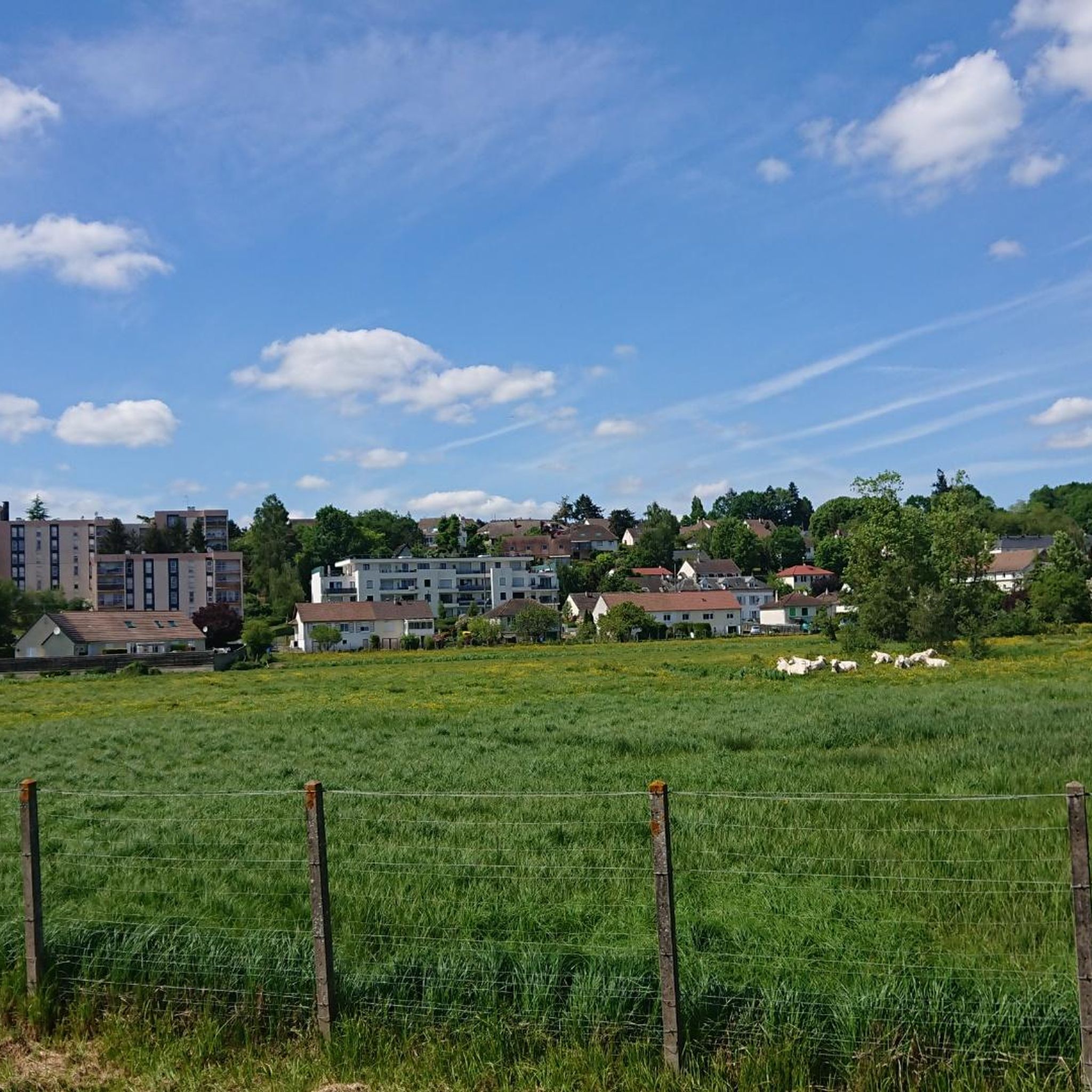
Road cycling routes around Émancé traverse a varied landscape in the south of Yvelines, France. The region is characterized by the expansive Rambouillet Forest to the north, offering undulating terrain with elevations between 119 and 167 meters. To the south, the landscape transitions into agricultural plains of the "Petite Beauce," while the Drouette river and numerous ponds contribute to the area's hydrographic network. This mix of forests, open fields, and river valleys provides diverse settings for road cyclists.
Best road…
Last updated: October 18, 2026
59
riders
20.0km
00:51
110m
110m
Easy road ride. Great for any fitness level. Mostly well-paved surfaces and easy to ride.
4.3
(26)
61
riders
70.0km
02:58
360m
360m
Moderate road ride. Good fitness required. Mostly well-paved surfaces and easy to ride.

39
riders
65.0km
02:49
470m
470m
Moderate road ride. Good fitness required. Some segments of this route may be unpaved and difficult to ride.
4.0
(2)
23
riders
137km
05:48
690m
690m
Hard road ride. Very good fitness required. Some segments of this route may be unpaved and difficult to ride.
22
riders
120km
05:01
720m
720m
Hard road ride. Very good fitness required. Mostly well-paved surfaces and easy to ride.
Get access to more routes and recommendations from other explorers.
Already have an account?
Our route recommendations are based on thousands of hikes, rides, and runs completed by other people on komoot.
Start today with a free account
Your next adventure awaits.



Tips from the Community

To admire the Château de la Madeleine from the town center of Chevreuse (France), simply look up at the hill overlooking the Yvette valley. The medieval fortress stands right above the village, offering picturesque views from the bridges over the river and from the alleyways
0
0

According to tradition, the church choir covers the remains of an older building, possibly dating back to the 6th century, which was built to house the saint's body. According to current knowledge, the commune of Saint-Piat (Sanctus Piatus in Latin) officially appeared in 1087, mentioned in a charter of the Nottonville Priory (Eure-et-Loir), on which it depended. The current building was rebuilt during the time of Francis I, as suggested by the date 1535 engraved on two buttresses of the apse and the date 1542 engraved on a piece of wood from the vault. This is according to a study by the SAEL (Eure-et-Loir Archaeological Society). The three-sided apses, the dripstone towers (horizontal members projecting from a wall), and the sculpted roof structures are a testament to the importance of the reconstructions carried out in the department during the 16th century. The church of Saint-Piat is one of them. While the church has not been officially recognized, it nevertheless contains objects that have attracted attention both for their antiquity and quality, but not always for good reason. Their artistic value, far from attracting only religious or aesthetic interest, has also aroused a covetousness that, unfortunately, remains for some of them. Fortunately, those still in place are carefully cared for and offer the curious a story to discover, a beauty to slowly ponder as they progress toward the choir.
0
0

Ideal for a coffee break. There's a bar and a pastry shop that makes delicious macarons! There's a water fountain next to the church, a little further on.
0
0


This climb is really not in good condition, its tight turns are not very safe (cars braking at the last moment).
0
0

The cathedral is the seat of the bishop of the Roman Catholic diocese of Chartres
6
0

ideal rating for cardio
3
0
Frequently Asked Questions
How many road cycling routes are available around Émancé?
There are over 320 road cycling routes available around Émancé, catering to various skill levels. This includes 99 easy routes, 218 moderate routes, and a few more challenging options for experienced cyclists.
What kind of terrain can I expect on road cycling routes near Émancé?
Road cycling routes around Émancé offer a diverse landscape. To the north, you'll find the undulating terrain of the expansive Rambouillet Forest, with elevations typically between 119 and 167 meters. To the south, the landscape transitions into the flatter, agricultural plains of the "Petite Beauce." The Drouette river and numerous ponds also contribute to varied scenery, providing a mix of woodlands, open fields, and river valleys.
Are there easy road cycling routes for beginners in Émancé?
Yes, Émancé offers many easy road cycling routes suitable for beginners. One popular option is the Guiperreux Toad Crossing – Gazeran church loop from Gazeran, which is 12.2 miles (19.6 km) long and takes about 50 minutes to complete, exploring the local countryside.
Can I find challenging road cycling routes around Émancé?
For those seeking more challenge, routes like the Côte des 17 Tournants – Côte de Senlisse loop from Gazeran offer a moderate difficulty with significant elevation gain. This 40.4-mile (65.1 km) route features over 1,500 feet (473 meters) of ascent, providing a more demanding experience through varied terrain.
What interesting sights or landmarks can I see while road cycling around Émancé?
Many road cycling routes in the area pass by notable attractions. You could encounter the unique Guiperreux Toad Crossing, or cycle near the picturesque Golden Pond. The region also features historical sites like the Dolmens of Changé and various castles, such as the Château de Rambouillet and its canals.
Is it possible to combine road cycling with nature observation, like seeing unique wildlife?
Absolutely. The Rambouillet Forest, which borders Émancé, is known for its rich biodiversity. A unique ecological feature of this forest is the presence of feral wallabies. While sightings are rare, lucky cyclists might spot these marsupials, which escaped from a zoological park in the 1970s and have adapted to the environment.
What do other cyclists say about road cycling in Émancé?
The road cycling routes around Émancé are highly rated by the komoot community, with an average score of 4.5 stars from over 190 reviews. More than 3,800 road cyclists have explored the area using komoot, often praising the varied terrain, tranquil forest sections, and scenic views.
Are there road cycling routes that pass through the Rambouillet Forest?
Yes, many routes traverse the Rambouillet Forest, offering a serene cycling experience through dense woodlands. The forest provides a slightly undulating terrain, making for engaging rides. For example, the Rambouillet – Rambouillet Castle loop from Épernon takes you through parts of this expansive forest.
What is the best time of year for road cycling in Émancé?
The spring, summer, and early autumn months generally offer the most pleasant conditions for road cycling around Émancé. During these seasons, the weather is typically mild, and the natural landscapes, from the forests to the agricultural plains, are at their most vibrant.
Are there any longer road cycling routes for endurance training around Émancé?
Yes, for longer rides, consider routes like La Celle-les-Bordes – Bullion Church loop from Épernon. This moderate 43.8-mile (70.5 km) path connects several villages and offers extended views of agricultural plateaus and forested sections, ideal for building endurance.
Are there road cycling routes that explore historical points of interest?
Certainly. The Épernon town hall – The 12th-century Presses loop from Saint-Hilarion is a 15.1-mile (24.3 km) route that leads through local villages and past historical points of interest, offering a cultural dimension to your ride.
Are the road cycling routes around Émancé generally crowded?
Émancé is known as a tranquil village, and while popular, many routes, especially those venturing deeper into the Rambouillet Forest or across the agricultural plains, offer a peaceful cycling experience. The area provides ample space to enjoy the scenery without excessive crowds.
Most popular attractions around Émancé

Get inspired with the komoot mobile app


Explore more
Browse the best Road cycling routes in other regions.
