The best MTB trails around Arrancy-Sur-Crusne
4.3
(17)
91
riders
20
rides
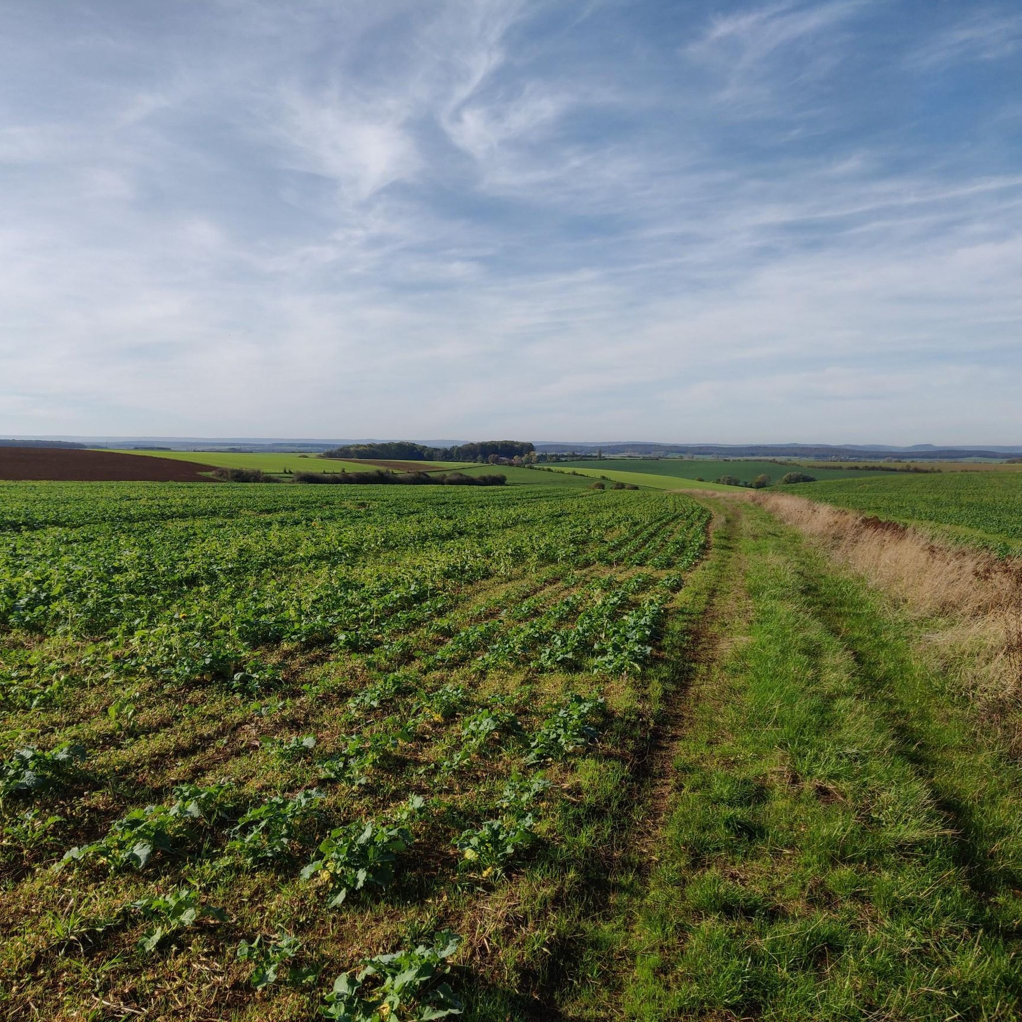
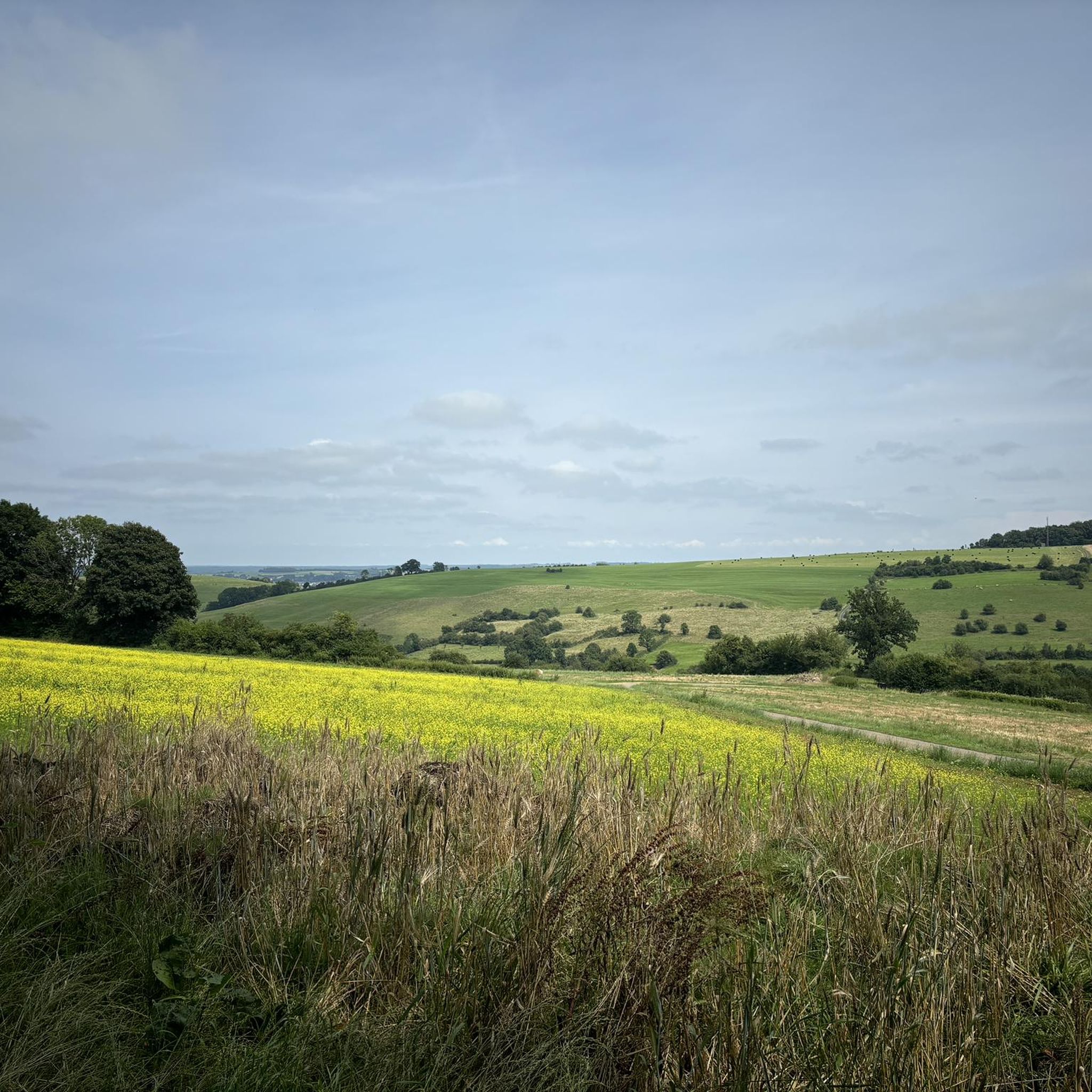
Mountain bike trails around Arrancy-Sur-Crusne are set within a rural commune in France's Grand Est region, characterized by rolling landscapes, gentle hills, and agricultural land. The terrain offers varied exploration, with elevations ranging from 216 to 309 meters. The village is built on a hill overlooking the Eurantes stream, a tributary of the Crusnes river, which contributes to the local environment. This geography provides diverse routes, from gentle rides through valleys to ascents on local hills.
Best mountain bike trails…
Last updated: July 5, 2026
19
riders
49.4km
04:22
760m
760m
Moderate mountain bike ride. Good fitness required. Advanced riding skills necessary.
20.5km
01:40
280m
280m
Easy mountain bike ride. Great for any fitness level. Suitable for all skill levels.

Sign up for free
37.8km
03:02
590m
590m
Moderate mountain bike ride. Good fitness required. Suitable for all skill levels.
3.0
(1)
2
riders
20.0km
01:24
240m
240m
Moderate mountain bike ride. Great for any fitness level. Advanced riding skills necessary.
4.8
(4)
5
riders
35.5km
02:56
490m
490m
Moderate mountain bike ride. Good fitness required. Advanced riding skills necessary.
Get access to more routes and recommendations from other explorers.
Sign up for free
Already have an account?
Our route recommendations are based on thousands of hikes, rides, and runs completed by other people on komoot.
Start today with a free account
Your next adventure awaits.
Login or Signup

Tips from the Community

Stationed in Longuyon in 1954, with an air base in Marville, the Canadians left our region in 1966/1967 following General DE GAULLE's decision in 1966 to no longer belong to NATO. The Canadians, in thanks for the welcome received by the French, proposed to the municipality, chaired by Robert DRAPIER, to build a totem characteristic of the Canadian nation. It was inaugurated on March 11, 1967 by the Indian chief KHUT LA CHA and his squaw "Princess of Peace", in the presence of the mayor and the city council, as well as the 4 colonels who had succeeded each other at the base. After many Indian dances and songs to the accompaniment of a tambourine, the chief gave his headdress to Colonel CHRISTIE, the last base commander, who unveiled the plaque affixed to the Totem's base. As a testimony to the warm welcome given by the French people to all Canadian personnel of the First Wing, Royal Canadian Air Force, who stayed at Marville Base from 1954 to 1967. Worn out over the years, our unusual Totem was replaced thanks to Canadians from the LAHR base in Germany. Renovated and carved from larch, 5.40 meters high, the new brand new totem was re-inaugurated by Pierre MERSCH, Mayor, on June 8, 1986. It is regularly maintained and some parts have been refurbished. weather and pollution would soon have overcome this memory of the past. In 2005, the second Totem, which still retained the original sculptures and designs, had to be replaced. It is now in resin, which should make it more resistant to the test of time. (https://www.longuyon.fr/Patrimoine/Totem.html)
1
0

One of the large facilities, with bunkers spread over several kilometers. The ammunition and personnel entrances in the pastures next to the path are clearly visible. Entry strictly prohibited. Vandals cleared everything out, however.
0
0
Ammunition and crew entrances, with domes. Access strictly prohibited. Lies in a pasture with cows that have young animals with them. A deep shaft secured with barbed wire. https://youtu.be/stpHB1_IWyM
4
0
Frequently Asked Questions
How many mountain bike trails are available around Arrancy-sur-Crusnes?
There are 19 mountain bike trails listed on komoot around Arrancy-sur-Crusnes, offering a variety of experiences across different difficulty levels.
What kind of terrain can I expect on mountain bike trails near Arrancy-sur-Crusnes?
The terrain around Arrancy-sur-Crusnes is characterized by rolling landscapes, gentle hills, and a mix of agricultural land and forests. You'll find diverse routes, from leisurely rides through picturesque countryside to more demanding forest trails and ascents on local hills. The area's elevation ranges from 216 to 309 meters, providing varied riding experiences.
Are there mountain bike trails suitable for beginners or families?
Yes, the area offers trails suitable for various skill levels. There are 7 easy mountain bike routes available. For example, the Latiremont fortification loop from Doncourt-lès-Longuyon is an easy 20.5 km trail that can be completed in about 1 hour 40 minutes, making it a good option for those looking for a less strenuous ride.
Can I find more challenging mountain bike routes in the area?
Yes, for those seeking more challenge, there are 12 moderate mountain bike routes. A notable option is the Boulangerie Baslieux – Moulin de Charpont viaduct loop from Mercy-le-Bas, which is 49.6 km long with significant elevation changes, typically taking over 4 hours to complete. Another moderate route is the Étang de la Saulx loop from Longuyon, offering scenic views over 33.6 km.
Are there any circular mountain bike routes near Arrancy-sur-Crusnes?
Yes, many of the mountain bike routes in the area are designed as loops. Examples include the Boulangerie Baslieux – Moulin de Charpont viaduct loop from Mercy-le-Bas, the Étang de la Saulx loop from Longuyon, and the Latiremont fortification loop from Doncourt-lès-Longuyon, all offering a return to your starting point.
What are some points of interest or attractions I can see while mountain biking?
While mountain biking, you can explore various historical and natural points of interest. Nearby attractions include the impressive Cons-la-Grandville Castle, the historical Latiremont fortification, and the intriguing Old Buré Forge. These sites offer a glimpse into the region's rich heritage amidst your ride.
Is there a mountain bike route that features a waterfall?
Yes, the Small Waterfall – Pond in the Woods loop from Cons-la-Grandville is a moderate 37.8 km mountain bike route that includes a small waterfall, offering a scenic natural highlight during your ride.
What is the best time of year for mountain biking in this region?
The region experiences a temperate continental climate with warm summers and moderate rainfall, making much of the year pleasant for outdoor activities. Spring and autumn generally offer ideal conditions with milder temperatures and beautiful scenery, though summer can also be enjoyable, especially on shaded forest trails.
What do other mountain bikers say about the trails here?
The mountain bike routes around Arrancy-sur-Crusnes are highly rated by the komoot community, with an average score of 4.3 stars from 15 reviews. Over 70 mountain bikers have used komoot to explore the varied terrain, often praising the diverse landscapes and the mix of agricultural land and forests.
How long do the mountain bike routes typically take to complete?
The duration of routes varies significantly based on distance and difficulty. Easy routes, like the 20.5 km Latiremont fortification loop, can take around 1 hour 40 minutes. Longer, moderate routes, such as the 49.6 km Boulangerie Baslieux – Moulin de Charpont viaduct loop, typically require over 4 hours.
Are the mountain bike trails around Arrancy-sur-Crusnes dog-friendly?
While specific regulations for dogs on mountain bike trails are not detailed, many natural areas in France permit dogs on trails, often requiring them to be on a leash. It's always best to check local signage or specific park rules if you plan to bring your dog, especially within the nearby Ardennes Regional Natural Park.
Is parking available near the trailheads?
While specific parking locations for each trailhead are not provided in the guide, rural communes like Arrancy-sur-Crusnes and surrounding villages typically offer public parking options. It's advisable to check maps or local information for designated parking areas near your chosen starting point.
Can I access the trails using public transport?
Arrancy-sur-Crusnes is a rural commune, and direct public transport access to specific trailheads might be limited. While the broader Grand Est region has some public transport networks, reaching the more remote starting points for mountain biking may require personal vehicle transport. It's recommended to plan your journey accordingly.
Most popular attractions around Arrancy-Sur-Crusne

Get inspired with the komoot mobile app


Explore more
Browse the best MTB trails in other regions.
