The best MTB trails around Brenouille
4.4
(197)
913
riders
114
rides
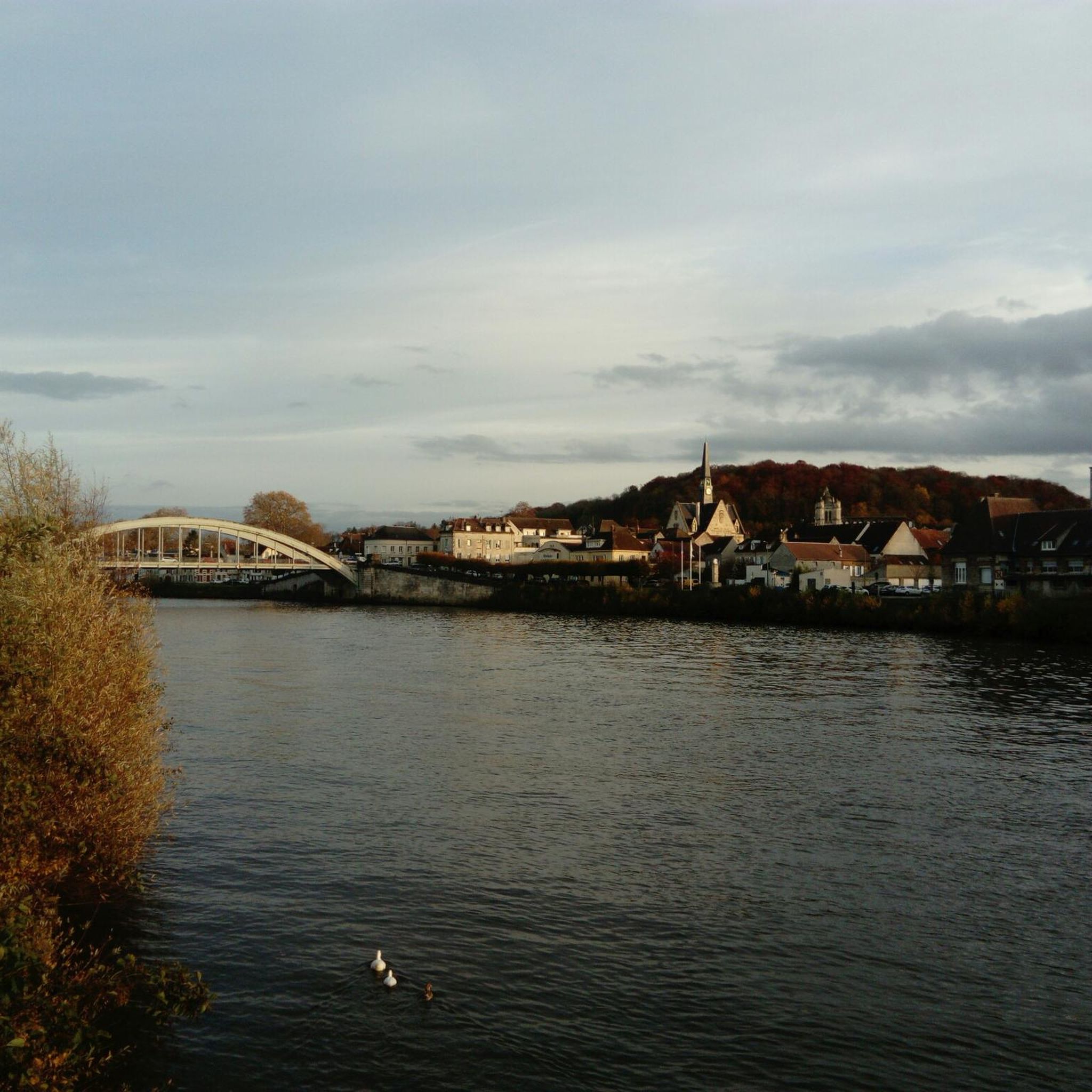
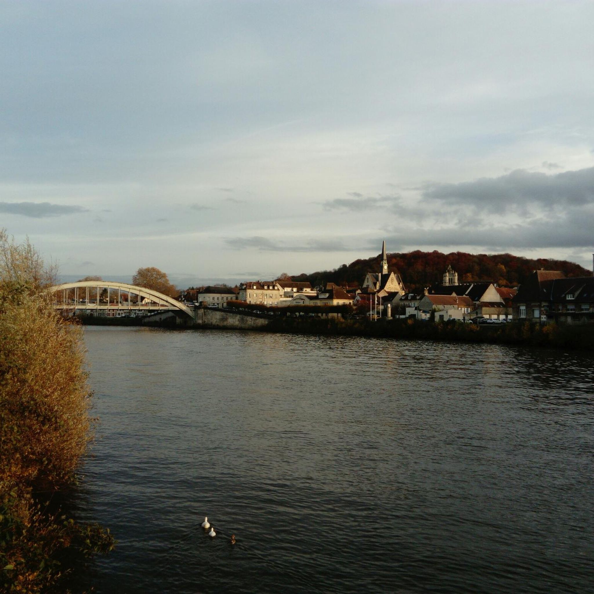
Mountain biking around Brenouille features a diverse landscape characterized by rolling hills, dense woodlands, and scenic river valleys. The region offers a mix of terrain, including singletrack sections, forest paths, and open areas with elevated viewpoints. Significant elevation gains are present on some routes, indicating varied topography suitable for different skill levels.
Best mountain bike trails around Brenouille
- The most popular mountain bike trail is Buildings – Single Les Ageux loop from Pont-Sainte-Maxence, a 49.1 miles (79.1 km) trail…
Last updated: July 5, 2026
5.0
(1)
46
riders
79.2km
06:44
920m
920m
Hard mountain bike ride. Very good fitness required. Advanced riding skills necessary.
4.1
(7)
25
riders
Moderate mountain bike ride. Good fitness required. Advanced riding skills necessary.

Sign up for free
1.0
(1)
25
riders
49.4km
03:58
480m
480m
Moderate mountain bike ride. Good fitness required. Advanced riding skills necessary.
3.0
(3)
31
riders
Moderate mountain bike ride. Good fitness required. Advanced riding skills necessary.
4.5
(10)
22
riders
61.6km
03:27
230m
230m
Moderate mountain bike ride. Good fitness required. Suitable for all skill levels.
Get access to more routes and recommendations from other explorers.
Sign up for free
Already have an account?
Our route recommendations are based on thousands of hikes, rides, and runs completed by other people on komoot.
Start today with a free account
Your next adventure awaits.
Login or Signup



Tips from the Community


The square itself houses a statue of Joan of Arc, a tribute to the city's historical connection to this iconic figure. The Town Hall, with its rich history and stunning architecture, continues to captivate visitors, offering a glimpse into the past while remaining a vibrant part of Compiègne's present.
2
0
The architecture of the town hall is a true feast for the eyes. The central structure is dominated by a tall bell tower, flanked by two turrets connected by a decorative railing. This imposing façade, 47 meters high and 24 meters wide, is decorated with striking Gothic elements such as pinnacles and basket arches. The large niche now houses a high relief depicting the equestrian statue of Louis XII. It is an original creation from 1869 by the sculptor Henri-Alfred Jacquemart in the realistic style so prevalent at the time. However, contrary to the usual appearance of equestrian statues during the reign of Louis XII, Henri-Alfred Jacquemart chose not to build a horse walking "à l'amble," that is, with both straight legs raised simultaneously. On October 12, 1530, a clock was placed on the summit of the bell tower. From that time on, every quarter of an hour, she animated three wooden jaquemarts with bell hammers. The Compiègneis quickly gave them three nicknames corresponding to the enemies of the time: Langlois for the English, Flandrin for the Flemish, and Lansquenet for the Germans. Even today, they chant the life of the city by "punching the time," that is, by striking their hammer to strike the hours.
2
0

very good route for amateurs, pleasant walk
0
0

The orientation table that previously existed and the wooden terrace have been removed. The trees have grown, making the view non-existent. Before, on a clear day, it was possible to make out the Eiffel Tower.
1
0

Gallo-Roman site to see while enjoying the Halatte forest
1
0


This obelisk was built in 1811 to commemorate the birth of the son of Napoleon I and Marie-Louise of Austria, made king of Rome by his father to defy Pope Pius VII. Why here and by whom? We don't know anything about it. This tribute was perhaps paid to Napoleon for the relaunch of healthy management of the Halatte forest after a period of abandonment following the revolution of 1789. In any case, he met his future wife Marie-Louise d'Halatte. Austria, nearby, at the castle of Compiègne where he installed his son the king of Rome.
0
0
Frequently Asked Questions
How many mountain bike trails are available around Brenouille?
There are over 120 mountain bike trails around Brenouille, offering a diverse range of options for different skill levels. This includes approximately 30 easy routes, 80 moderate routes, and 8 difficult trails.
Are there easy mountain bike trails suitable for beginners in Brenouille?
Yes, Brenouille offers around 30 easy mountain bike trails, perfect for beginners or those looking for a relaxed ride. These routes typically feature less challenging terrain and elevation changes.
What kind of terrain can I expect on mountain bike trails in Brenouille?
The mountain bike trails around Brenouille feature a varied landscape, including rolling hills, dense woodlands, and scenic river valleys. You'll encounter a mix of singletrack sections, forest paths, and open areas, with some routes involving significant elevation gains.
Are there any circular mountain bike routes in Brenouille?
Yes, many mountain bike routes in Brenouille are circular. For example, the moderate Mont Pagnotte viewpoint – King of Rome Obelisk loop from Rieux - Angicourt offers panoramic views and historical landmarks, while the Single Les Ageux – Étang de Verderonne loop from Pont-Sainte-Maxence takes you through forest paths and lakeside sections.
What are some challenging mountain bike trails for advanced riders in Brenouille?
For advanced riders, Brenouille offers several challenging routes. A notable difficult trail is the Buildings – Single Les Ageux loop from Pont-Sainte-Maxence, which spans nearly 80 km and includes varied terrain with significant climbs.
What do other mountain bikers say about the trails in Brenouille?
The mountain bike trails in Brenouille are highly rated by the komoot community, with an average score of 4.3 stars from over 160 reviews. Riders often praise the diverse terrain, scenic forest paths, and the variety of options available for different skill levels.
Are there any interesting landmarks or attractions along the mountain bike routes?
Yes, several routes pass by interesting landmarks. You can explore historical sites like the Royal Abbey of Moncel, the King of Rome Obelisk, or the Ognon Gallo-Roman temple. The Mont Pagnotte viewpoint also offers stunning panoramic views.
What is the typical duration for mountain bike trails in Brenouille?
The duration of mountain bike trails in Brenouille varies greatly depending on the route's length and difficulty. Easy trails might take an hour or two, while moderate routes like the King of Rome Obelisk – View of Verneuil-en-Halatte loop from Pont-Sainte-Maxence can take over 3 hours. The most challenging routes, such as the Buildings – Single Les Ageux loop, can take over 6 hours to complete.
What should I wear for mountain biking in Brenouille?
Given the varied terrain and potential for elevation changes, it's advisable to wear appropriate mountain biking gear. This includes a helmet, comfortable and breathable clothing, padded shorts, gloves, and sturdy mountain biking shoes. Layers are recommended, especially during cooler months, to adapt to changing conditions.
Are there any routes that offer particularly scenic views?
Absolutely. The region is known for its scenic viewpoints. The Mont Pagnotte viewpoint – King of Rome Obelisk loop from Rieux - Angicourt is specifically highlighted for its panoramic views. Many routes also traverse dense woodlands and river valleys, providing picturesque natural scenery.
Can I find routes that pass by lakes or water features?
Yes, some routes incorporate water features. For instance, the Single Les Ageux – Étang de Verderonne loop from Pont-Sainte-Maxence leads through forest paths and includes sections alongside the Étang de Verderonne (Verderonne Pond).
Most popular routes around Brenouille
Most popular attractions around Brenouille

Get inspired with the komoot mobile app


Explore more
Browse the best MTB trails in other regions.
