The best cycling routes around La Beaume
4.4
(85)
1,228
riders
36
rides
Touring cycling around La Beaume offers routes through varied terrain, characterized by mountain passes and river valleys. The landscape includes significant elevation changes, with routes ascending to cols like Col des Tourette and Cabre Pass. Cyclists can expect paths alongside rivers, such as the Drôme, and gravel sections. The area provides a mix of challenging climbs and scenic descents for touring cyclists.
Best touring cycling routes around La Beaume
- The most popular touring cycling route is Hameau de Saint-Marcellin – Iscles Pond loop from Aspres-sur-Buëch, a 31.3 miles (50.4 km) trail that takes 3 hours 20 minutes to complete. This difficult route features significant elevation gain and passes by Iscles Pond.
- Another top favourite among local touring cyclists is Route de Sigottier – Montjay loop from Aspres-sur-Buëch, a difficult 43.6 miles (70.2 km) path. This route offers extensive views and challenging ascents through the regional landscape.
- Local touring cyclists also love the Route de Sigottier – Col des Tourette (1126 m) loop from Aspres-sur-Buëch, a 71.6 miles (115.2 km) trail leading through mountain passes, often completed in about 7 hours 51 minutes.
- Touring cycling around La Beaume is defined by mountain passes, river valleys, and varied elevation, with options for different ability levels.
- The routes in La Beaume are highly rated by the komoot community with an average score of 4.4 stars from over 70 reviews. More than 1300 touring cyclists have used komoot to explore La Beaume's varied terrain.
Last updated: June 25, 2026
4.0
(2)
65
riders
50.4km
03:21
740m
740m
Hard bike ride. Very good fitness required. Mostly paved surfaces. Suitable for all skill levels.
4.3
(7)
41
riders
70.2km
04:23
760m
760m
Hard bike ride. Very good fitness required. Mostly paved surfaces. Suitable for all skill levels.

Sign up for free
5.0
(1)
22
riders
115km
07:50
2,010m
2,010m
Hard bike ride. Very good fitness required. Mostly paved surfaces. Suitable for all skill levels.
5.0
(1)
15
riders
Hard bike ride. Very good fitness required. Mostly paved surfaces. Suitable for all skill levels.
13
riders
98.9km
07:01
1,880m
1,880m
Hard bike ride. Very good fitness required. Mostly paved surfaces. Suitable for all skill levels.
Get access to more routes and recommendations from other explorers.
Sign up for free
Already have an account?
Our route recommendations are based on thousands of hikes, rides, and runs completed by other people on komoot.
Start today with a free account
Your next adventure awaits.
Login or Signup
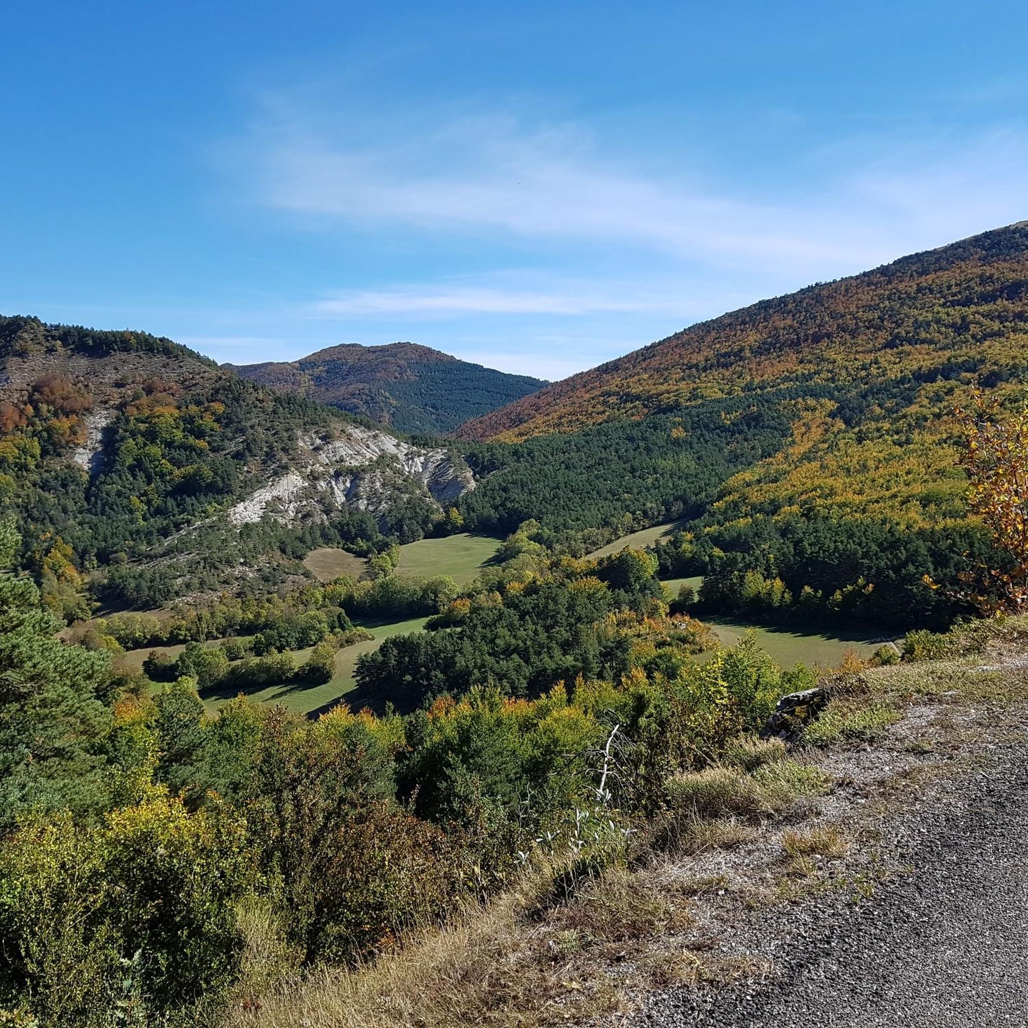
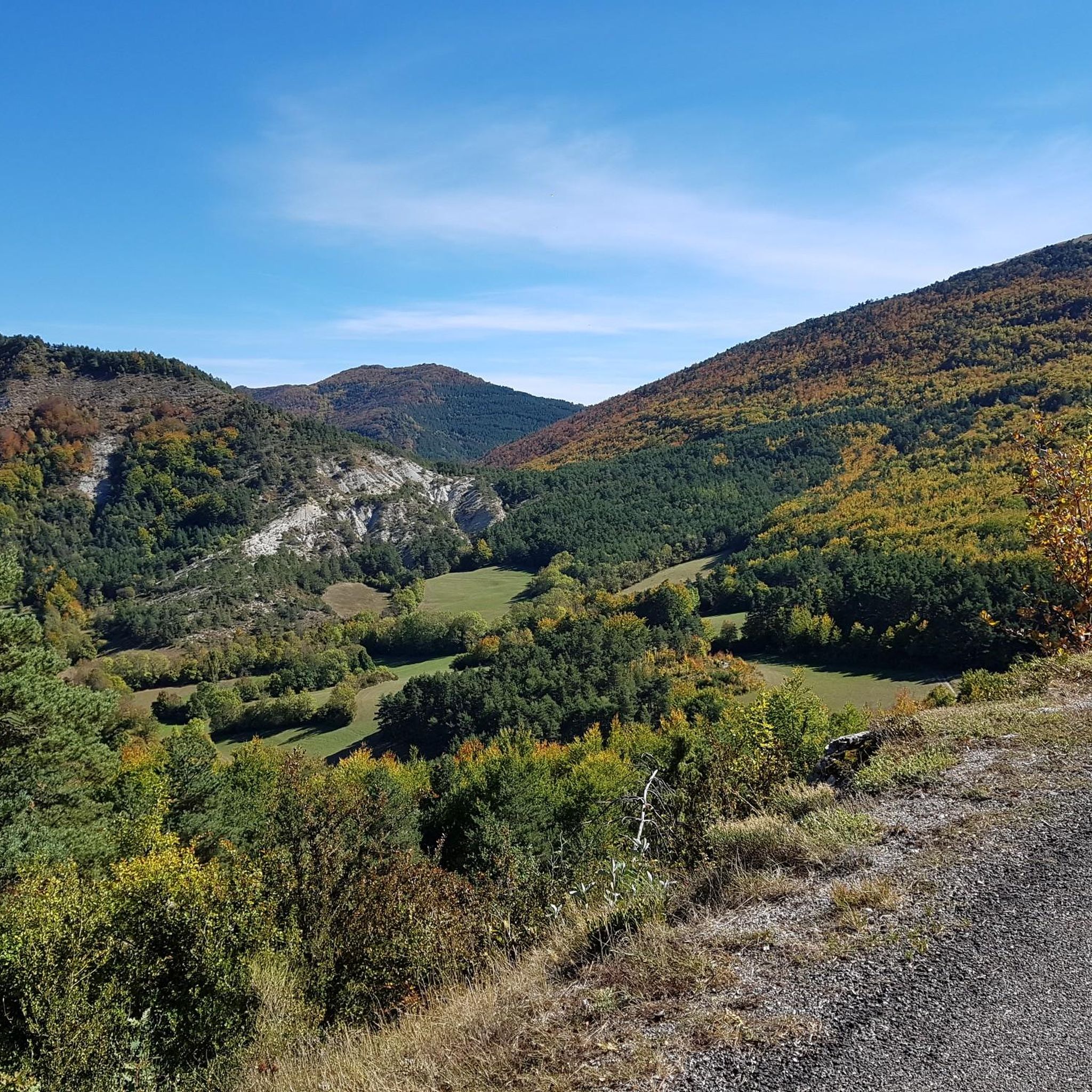
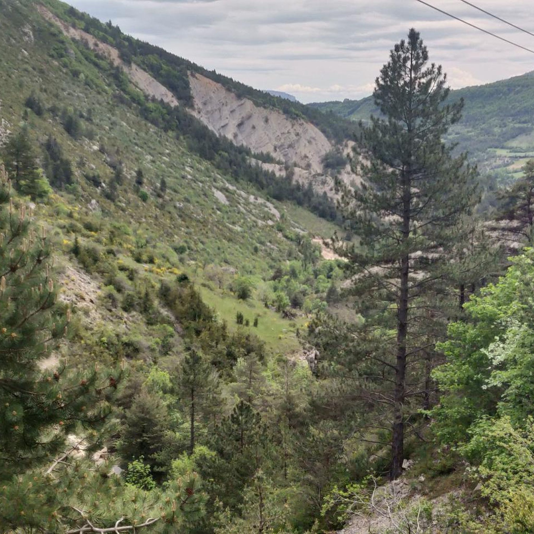
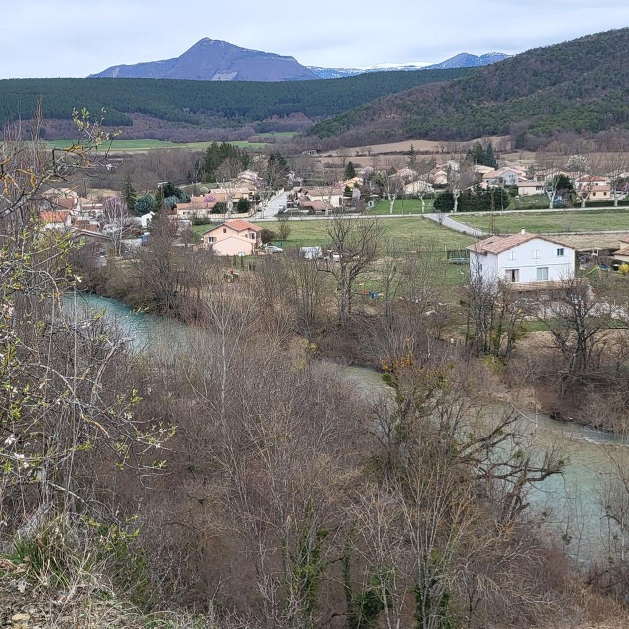

Tips from the Community

It is therefore a pass of modest dimensions, rather constant but at times challenging – typical of the area: short, secluded and scenic.
6
0
Col de Cabre is a mountain pass located in the southeast of France, between the departments of Drôme and Hautes-Alpes, in the regions Auvergne-Rhône-Alpes and Provence-Alpes-Côte d'Azur.
7
0
"Saint-Marcellin" is a common name for several small villages in France, but in the regions of Alpes-de-Haute-Provence and Hautes-Alpes (near you) it mainly indicates a typical mountain hamlet, present in municipalities such as Vars or Châteauroux-les-Alpes.
6
0
La Route de Sigottier is a road located in the Hautes-Alpes (05700), in the Provence-Alpes-Côte d'Azur region, within the municipality of Sigottier.
9
0
The stretch of road from La Faurie to Montbrand (Hautes-Alpes department, along the D28) is short, about 5-6 km, but very picturesque. It crosses the tranquil Aiguebelle valley, offering a typically alpine-Provençal landscape.
5
0


Feeling a little thirsty? Luckily, the fountain bar is here to help.
0
0
perfect for a short break
0
0
Frequently Asked Questions
How many touring cycling routes are available around La Beaume?
There are nearly 40 touring cycling routes around La Beaume, offering a diverse range of experiences. Most routes feature significant elevation changes, with options for various skill levels.
Are there any easy touring cycling routes for beginners in La Beaume?
Yes, while many routes are challenging, La Beaume offers a few easier touring cycling options. There are 4 routes categorized as easy, perfect for those new to touring cycling or looking for a more relaxed ride.
What kind of terrain can I expect on touring cycling routes in La Beaume?
Touring cycling around La Beaume is characterized by varied terrain, including mountain passes, river valleys, and significant elevation changes. You can expect paths alongside rivers like the Drôme, and some routes may include gravel sections, offering a mix of challenging climbs and scenic descents.
Are there any circular touring cycling routes around La Beaume?
Many of the touring cycling routes in La Beaume are circular, allowing you to start and end at the same point. For example, the difficult route Hameau de Saint-Marcellin – Iscles Pond loop from Aspres-sur-Buëch is a popular circular option that passes by Iscles Pond.
What are some challenging touring cycling routes in the La Beaume area?
La Beaume is known for its challenging routes. For experienced touring cyclists, the Route de Sigottier – Col des Tourette (1126 m) loop from Aspres-sur-Buëch is a demanding 115 km trail leading through mountain passes. Another challenging option is the Cabre Pass (1,180 m) – Saut de la Drôme and the Claps loop from La Beaume, which features significant climbs and river views.
What can I see along the touring cycling routes around La Beaume?
The routes offer diverse scenery and points of interest. You might pass by natural features like Iscles Pond, or traverse mountain passes such as Col de Carabès and Miscon Pass. Some routes also offer views of summits like Le Duffre (Montagne de l'Aup).
What do other touring cyclists enjoy the most about touring cycling in La Beaume?
The touring cycling routes in La Beaume are highly rated by the komoot community, with an average score of 4.4 stars. Reviewers often praise the varied terrain, the challenge of the mountain passes, and the scenic beauty of the river valleys.
Are there any touring cycling routes that include gravel sections?
Yes, some routes around La Beaume incorporate gravel sections, adding to the adventure. The Col de Carabès – Gravel along the river loop from La Beaume is a notable example, offering a mix of terrain along the river.
What is the typical duration for touring cycling routes in La Beaume?
The duration of touring cycling routes in La Beaume varies significantly depending on the distance and difficulty. Shorter, easier routes might take a couple of hours, while longer, more challenging ones, such as the 115 km Route de Sigottier – Col des Tourette (1126 m) loop from Aspres-sur-Buëch, can take around 7 to 8 hours to complete.
Can I find routes with extensive views in La Beaume?
Absolutely. The mountainous and valley landscape of La Beaume provides numerous opportunities for extensive views. The Route de Sigottier – Montjay loop from Aspres-sur-Buëch is a difficult route specifically noted for offering extensive views across the regional landscape.
What is the best time of year for touring cycling in La Beaume?
The best time for touring cycling in La Beaume is generally from late spring to early autumn (May to October). During these months, the weather is typically milder, and the mountain passes are clear of snow, offering optimal conditions for exploring the region's diverse terrain.
Are there any routes that follow river valleys in La Beaume?
Yes, the region's geography includes several river valleys, such as the Drôme. Routes like the Cabre Pass (1,180 m) – Saut de la Drôme and the Claps loop from La Beaume incorporate sections along the Drôme river, offering picturesque views and varied terrain.
Most popular routes around La Beaume
Most popular attractions around La Beaume

Get inspired with the komoot mobile app


Explore more
Browse the best Cycling routes in other regions.
