The best running trails around Saint-Thurin
4.0
(1)
153
runners
55
runs
Jogging routes around Saint-Thurin traverse the varied terrain of the Forez region in France's Loire department. The area features elevations ranging from 450 to 717 meters, providing diverse running experiences from gentle paths to more challenging ascents. This natural undulation allows runners to tailor their workouts while enjoying the surrounding scenery. The region is known for its natural diversity, offering numerous trails suitable for running.
Best jogging routes around Saint-Thurin
- The most popular jogging route is Étang de La Plagnette…
Last updated: July 1, 2026
41
runners
34.8km
04:30
1,110m
1,110m
Hard run. Very good fitness required. Mostly paved surfaces. Suitable for all skill levels.
15
runners
9.30km
01:12
330m
330m
Hard run. Very good fitness required. Mostly paved surfaces. Suitable for all skill levels.

Sign up for free
9
runners
12.5km
01:25
180m
180m
Moderate run. Good fitness required. Mostly paved surfaces. Suitable for all skill levels.
5
runners
11.4km
01:15
120m
120m
Moderate run. Good fitness required. Mostly paved surfaces. Suitable for all skill levels.
4
runners
15.3km
01:47
330m
330m
Hard run. Very good fitness required. Mostly paved surfaces. Suitable for all skill levels.
Get access to more routes and recommendations from other explorers.
Sign up for free
Already have an account?
Our route recommendations are based on thousands of hikes, rides, and runs completed by other people on komoot.
Start today with a free account
Your next adventure awaits.
Login or Signup

Tips from the Community

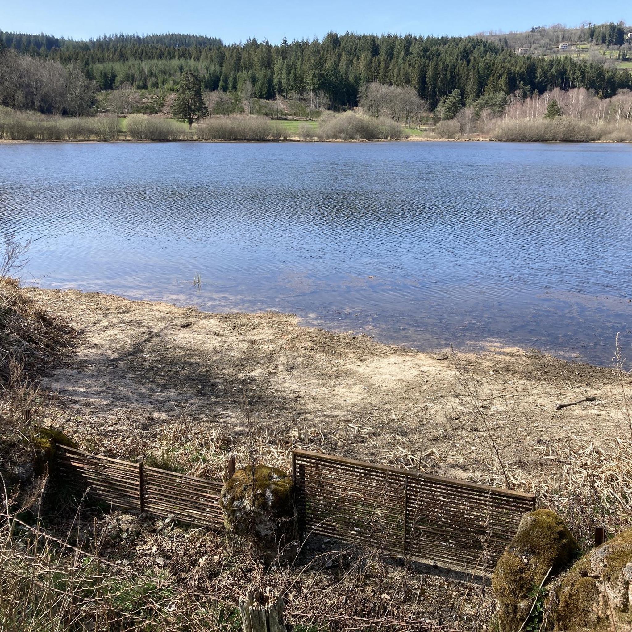
Great water point to cool off in the summer, swimming is often supervised. Take a look at the lifeguard cabin to check if the water is swimmable; during high temperatures bacteria can develop there. For more advice, follow us on Komoot or Instagram @chouchou_team
0
0

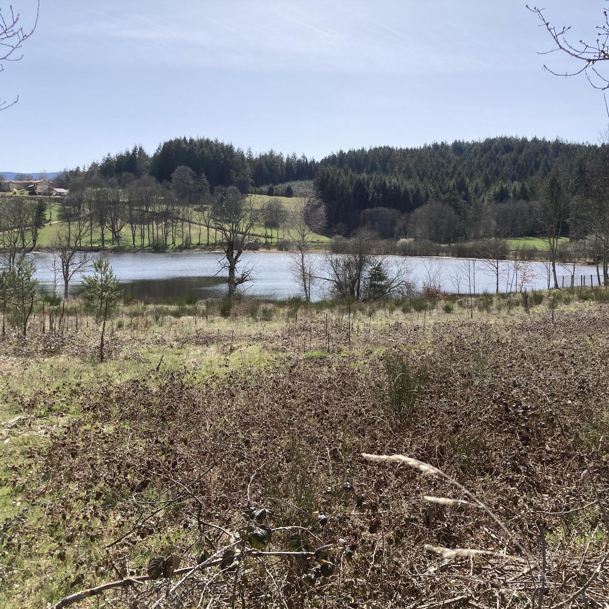
Departure from 5 marked trail routes from 8 to 17km. A sports course around the pond. A route measured with terminals every 100m by 1200m. Right next to an estate with restaurant, hotel and lodges.
1
0

great marked circuit
0
0

With the possibility of swimming and enjoying a beach, this could be the ideal place to have lunch during your hike.
2
0

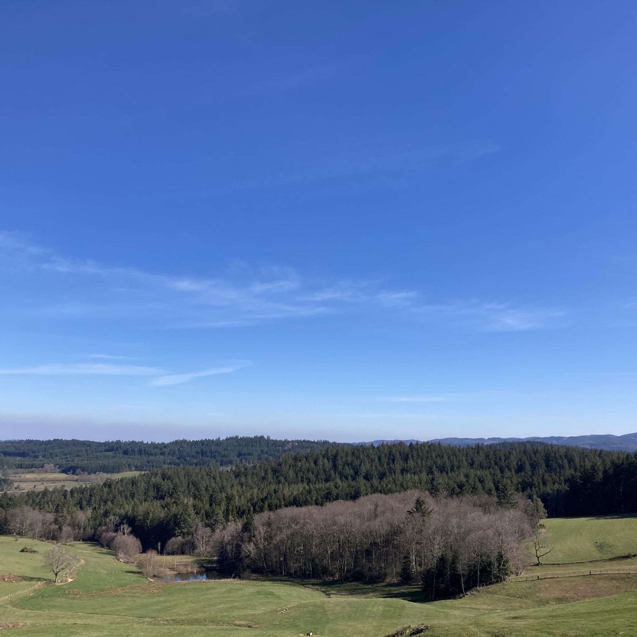
A magnificent castle with a breathtaking 360 ° view! It's worth the detours!
1
0
Frequently Asked Questions
How many running routes are available around Saint-Thurin?
There are over 50 dedicated running routes around Saint-Thurin, offering a wide range of experiences for joggers of all levels. These routes traverse the diverse landscapes of the Forez region.
Are there running routes suitable for beginners or those looking for an easier jog?
While many routes in the Saint-Thurin area are categorized as moderate or difficult due to the varied terrain, you can find options like the Running loop from Les Salles, which is a moderate 7 km path with less elevation gain, making it suitable for a more relaxed run.
What kind of terrain can I expect on the running trails in Saint-Thurin?
The running trails in Saint-Thurin feature varied terrain, with elevations ranging from 450 to 717 meters. This means you'll encounter everything from gentle inclines to more challenging ascents, allowing you to tailor your run to different fitness levels while enjoying the natural beauty of the Forez region.
Are there any family-friendly jogging paths in the Saint-Thurin area?
For families looking for a moderate outing, the Running loop from Saint-Marcel-d'Urfé offers a pleasant 10 km path. While specific 'easy' routes are limited, many moderate trails can be enjoyed by active families.
Can I find circular running routes in Saint-Thurin?
Yes, many of the running routes around Saint-Thurin are circular, allowing you to start and end your run at the same point. Examples include the challenging Urfé Castle loop from Champoly or the longer Col de Saint-Thomas loop from La Rorie.
What do other runners say about the jogging routes in Saint-Thurin?
The running routes in Saint-Thurin are highly rated by the komoot community, with an average score of 5.0 stars. Over 150 runners have explored the varied terrain, appreciating the natural diversity and the opportunities for diverse running experiences.
Are there any scenic viewpoints or natural attractions along the running trails?
Absolutely. The Forez region, where Saint-Thurin is located, is known for its natural beauty. While running, you might encounter superb panoramas similar to those found in the nearby Gorges de la Loire, or experience breathtaking landscape spots like the basaltic piton of Purchon and the Grande Pierre Bazanne, which offer 360° views of the Monts du Forez. The Étang de La Plagnette – Château des Cornes d'Urfé loop from Champoly combines a scenic body of water with a historic château.
Are there any specific trails that are particularly challenging for experienced runners?
For experienced runners seeking a challenge, Saint-Thurin offers several difficult routes. The Étang de La Plagnette – Château des Cornes d'Urfé loop from Champoly is a demanding 35.9 km trail with significant elevation gain, while the Les Vallons de l'Anzon trail, though not directly a komoot route, is an 11 km path of medium difficulty in Vêtre-sur-Anzon, offering a scenic and moderately challenging option.
Is there public transport access to the running trails in Saint-Thurin?
Saint-Thurin is a former commune now part of Vêtre-sur-Anzon. While the region is well-suited for outdoor activities, public transport options directly to trailheads might be limited. It is generally recommended to check local transport schedules for Vêtre-sur-Anzon or plan for car access to reach the starting points of the routes.
Where can I find parking for the running trails in Saint-Thurin?
Parking availability varies by trailhead. For routes starting from villages like Champoly or La Rorie, you can typically find public parking areas within the village. It's advisable to check the specific route details on komoot for recommended starting points and parking information.
Are there any bodies of water or lakes to run around in the Saint-Thurin area?
Yes, the region features a 'Plan d'eau' (body of water) near Saint-Thurin, which can provide flat, scenic routes along its perimeter, ideal for a more relaxed jog. The Étang de La Plagnette – Château des Cornes d'Urfé loop from Champoly specifically incorporates a scenic body of water into its path.
What is the best time of year for running in Saint-Thurin?
The diverse landscapes of the Forez region make Saint-Thurin enjoyable for running throughout much of the year. Spring and autumn offer pleasant temperatures and beautiful scenery with changing foliage. Summer can be warm, but shaded trails provide relief. Winter running is possible, but conditions may vary, especially at higher elevations.

Get inspired with the komoot mobile app


Explore more
Browse the best Running Trails & Routes in other regions.
