The best road cycling routes around Thuillières
4.3
(82)
1,018
riders
176
rides
Road cycling around Thuillières, a commune in the Vosges department, features a varied terrain with elevations ranging from 293 meters to 453 meters. The region is characterized by its rural setting and is drained by several waterways, including the Thuillières stream, Le Petit Vair, and Moulin stream, which contribute to the natural scenery. This topography offers a mix of inclines and descents suitable for road cycling.
Best road cycling routes around Thuillières
- The most popular road cycling route is The…
Last updated: July 5, 2026
12
riders
54.1km
02:23
400m
400m
Moderate road ride. Good fitness required. Mostly well-paved surfaces and easy to ride.
13
riders
31.7km
01:23
280m
280m
Easy road ride. Great for any fitness level. Mostly well-paved surfaces and easy to ride.

Sign up for free
9
riders
34.3km
01:31
270m
270m
Easy road ride. Great for any fitness level. Mostly well-paved surfaces and easy to ride.
7
riders
76.6km
03:28
790m
790m
Moderate road ride. Good fitness required. Mostly well-paved surfaces and easy to ride.
10
riders
29.4km
01:24
340m
340m
Moderate road ride. Good fitness required. Mostly well-paved surfaces and easy to ride.
Get access to more routes and recommendations from other explorers.
Sign up for free
Already have an account?
Our route recommendations are based on thousands of hikes, rides, and runs completed by other people on komoot.
Start today with a free account
Your next adventure awaits.
Login or Signup

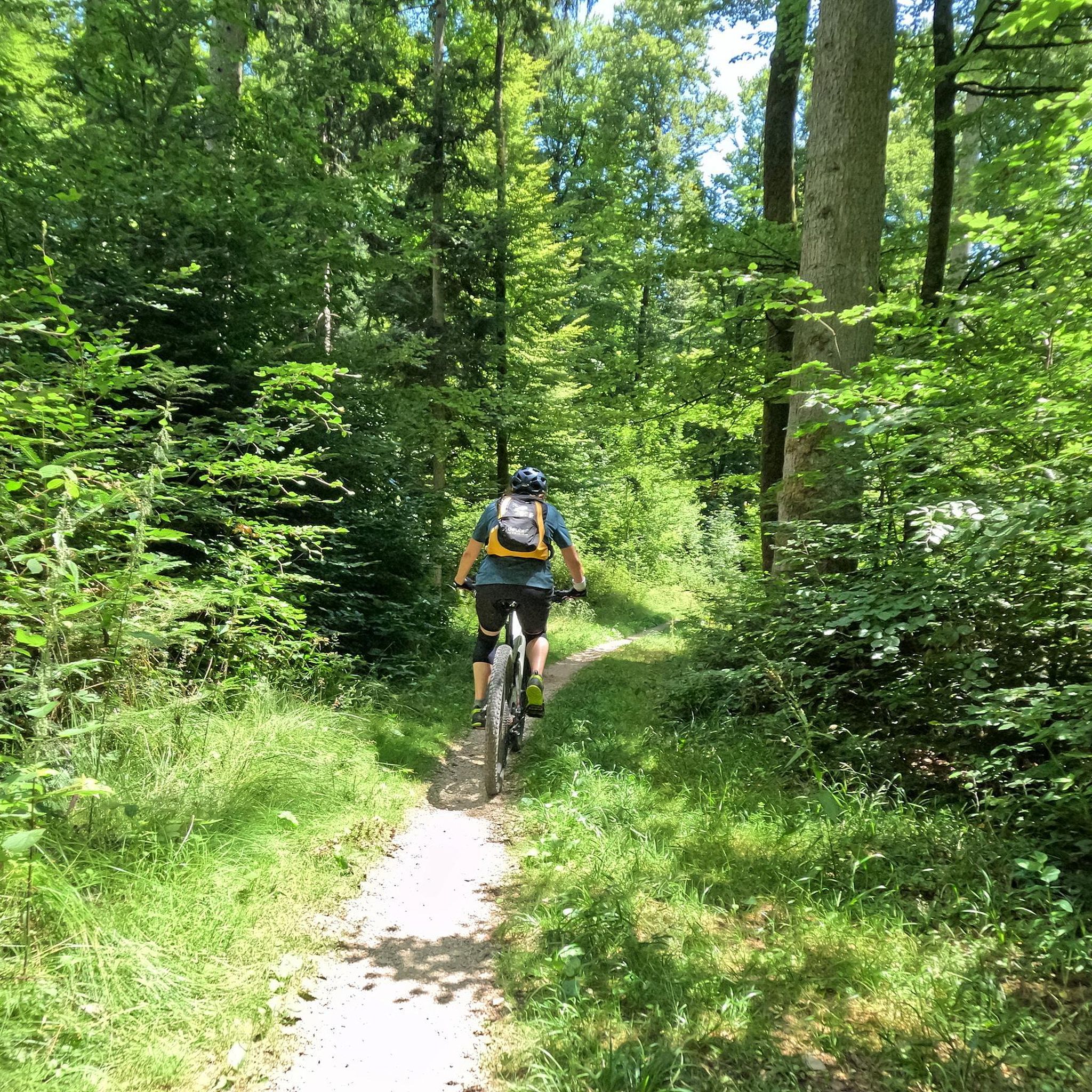


Tips from the Community

At this fountain you can tap the good Vittel water
1
0
Frequently Asked Questions
What kind of terrain can I expect on road cycling routes around Thuillières?
Road cycling around Thuillières features a varied terrain with elevations ranging from 293 meters to 453 meters. You'll encounter a mix of inclines and descents, characteristic of its rural setting within the Vosges department. The region is also drained by several waterways, such as the Thuillières stream and Le Petit Vair, which contribute to the natural scenery along the routes.
Are there road cycling routes suitable for beginners in Thuillières?
Yes, Thuillières offers options for various ability levels. Among the 173 available routes, you'll find 21 classified as easy, making them suitable for beginners or those looking for a more relaxed ride. These routes generally feature less challenging inclines and shorter distances.
What are some of the longer, more challenging road cycling routes available?
For experienced cyclists seeking a challenge, Thuillières offers several difficult routes. One notable option is La Voie Bleue – Canal Path (La Voie Bleue) loop from Vittel, which spans an extensive 193.0 km and follows a scenic canal path. Another demanding route is Dirt Trail in the Forest – Route du Xaintois loop from Vittel, covering 110.4 km through forested areas.
Are there any circular road cycling routes around Thuillières?
Many of the road cycling routes in Thuillières are designed as loops, offering convenient circular journeys. For instance, The source of the Saône — loop from Vittel is a popular 96.8 km circular route that explores rural landscapes and the headwaters of the Saône River.
What natural features or landmarks can I see along the road cycling routes?
While cycling, you'll encounter the region's natural beauty, including the Thuillières stream, Le Petit Vair, and Moulin stream, which are part of the Rhine and Meuse river basins. For specific points of interest, consider visiting the Folie Lakes or the Ancient Roman Road, which are nearby attractions that can complement your ride.
What do other road cyclists enjoy most about cycling in Thuillières?
The road cycling experience in Thuillières is highly rated by the komoot community, with an average score of 4.2 stars from over 60 reviews. Cyclists often praise the varied terrain, the scenic rural landscapes, and the options available for different ability levels, from moderate to challenging routes.
Are there any historical sites or attractions near the cycling routes?
Yes, beyond the natural scenery, Thuillières and its surroundings offer a few historical and cultural points of interest. You might consider visiting the Boffrand Castle, or the House and Tomb of Eve Lavallière. Additionally, the Thermes de Contrexéville and Vittel Thermal Park are also nearby attractions.
What is the best time of year for road cycling in Thuillières?
Thuillières experiences a temperate climate, with an average annual temperature around 9.5 °C. This suggests that outdoor activities, including road cycling, can be enjoyed for much of the year. Spring and autumn generally offer pleasant temperatures and beautiful scenery, while summer provides warmer conditions, though it's advisable to check local weather forecasts for optimal riding.
Are there any moderate difficulty road cycling routes?
Absolutely. The majority of road cycling routes in Thuillières, 137 out of 173, are classified as moderate. An example of a well-regarded moderate route is the Roadbike loop from Vittel, which covers 71.9 km and typically takes around 3 hours and 19 minutes to complete.
Where can I find parking for road cycling routes in Thuillières?
While specific parking locations for each route are best checked on individual tour pages, many routes around Thuillières originate or pass through towns like Vittel. These areas often provide public parking facilities suitable for accessing the cycling network. For example, the Vittel Thermal Park is listed as a nearby attraction that includes parking.
Are there any short, easy road cycling routes for a quick ride?
Yes, if you're looking for a shorter, easier ride, Thuillières has options. The Vittel Public Water Fountain loop from Vittel is an easy route spanning 33.6 km, which can typically be completed in under 1.5 hours, offering a pleasant and accessible cycling experience.
Most popular attractions around Thuillières

Get inspired with the komoot mobile app


Explore more
Browse the best Road cycling routes in other regions.
