The best road cycling routes around Raon-Aux-Bois
4.5
(206)
6,569
riders
218
rides
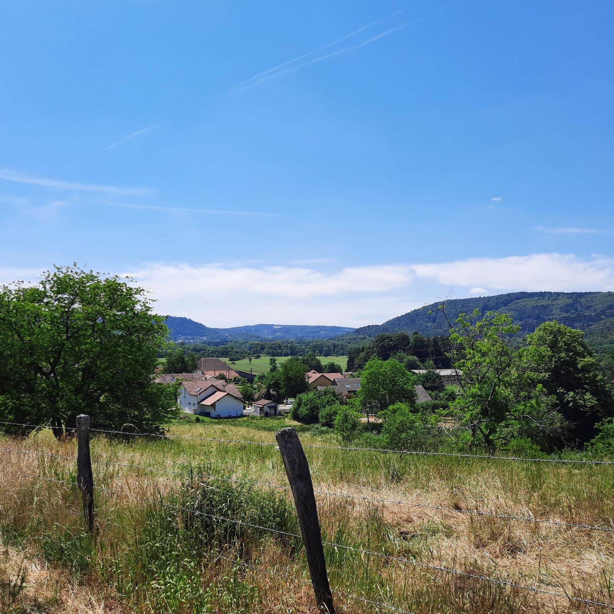
Road cycling around Raon-Aux-Bois, situated on the Vôge Plateau at the western edge of the Vosges Mountains, features a diverse landscape. The region is characterized by extensive woodland countryside, including mature timberland and conifer plantations, and is carved by small rivers and streams. Varying altitudes from 385m to 591m provide diverse terrain, including notable climbs like the Col de Raon. Dedicated cycling infrastructure, such as repurposed railway lines, supports a network of routes.
Best road cycling routes around Raon-Aux-Bois
- The…
Last updated: October 16, 2026
4.6
(40)
1,064
riders
67.2km
02:46
420m
420m
Moderate road ride. Good fitness required. Mostly well-paved surfaces and easy to ride.
48
riders
Moderate road ride. Good fitness required. Mostly well-paved surfaces and easy to ride.

13
riders
125km
06:52
2,010m
2,000m
Hard road ride. Very good fitness required. Mostly well-paved surfaces and easy to ride.
23
riders
52.2km
02:29
540m
540m
Moderate road ride. Good fitness required. Mostly well-paved surfaces and easy to ride.
5.0
(1)
16
riders
41.5km
02:08
500m
500m
Moderate road ride. Good fitness required. Mostly well-paved surfaces and easy to ride.
Get access to more routes and recommendations from other explorers.
Already have an account?
Our route recommendations are based on thousands of hikes, rides, and runs completed by other people on komoot.
Start today with a free account
Your next adventure awaits.

Tips from the Community

As soon as you enter the village centre of Le Ménil, the road noticeably steepens. From here, it is still 2.1 kilometers to the top. This section is very regular and has no surprises or steep outliers. The percentages constantly hover around 4.1%. You cover the last 86 meters of altitude here to the highest point at 621 meters.
1
0
Smooth, even pace between Le Ménil and Cornimont, wide road and mild gradients — ideal as a connecting climb in the southern Vosges massif.
1
0
The center of Le Thillot lies in the valley of the Moselle and forms a small but lively village heart. On the Place du 8 Mai stands the 19th-century Église Saint-Jean-Baptiste, surrounded by bakeries, cafés, and local shops. It is a compact, well-organized center with a mix of Vosges architecture, daily amenities, and a quiet village atmosphere. The bakery facade caught my attention.
7
0

The Cascade du Géhard is located near Girmont-Val-d’Ajol in the southern Vosges mountains at an altitude of about 500 meters. The Géhard plunges here over several stages and through potholes washed out by the water. Below the cascade, a picturesque stone arch bridge spans the stream. The site is accessible via marked hiking trails and can be easily combined with a hike around Girmont-Val-d’Ajo
0
0

beautiful old town in Remiremont
1
0
in between, the cycle path runs along the rocks
1
0
grandiose rocks in the Moselle Valley
0
0

Easy access with nearby parking and a picnic table. There's an information panel. The waterfall itself isn't particularly impressive, but the site offers marked hiking trails along the stream (very pretty with its rocks forming small waterfalls), for example. Note that in wet and rainy weather, the surrounding area can be slippery (moss, grass, leaves, and rocks). So keep a close eye on children!
2
0
Frequently Asked Questions
How many road cycling routes are available around Raon-Aux-Bois?
There are over 190 road cycling routes available around Raon-Aux-Bois, offering a wide range of options for different skill levels and preferences.
What is the general terrain like for road cycling in Raon-Aux-Bois?
The terrain around Raon-Aux-Bois is quite diverse, characterized by extensive woodlands, river valleys, and the varied topography of the Vôge Plateau. Altitudes range from 385m to 591m, providing both gentle stretches and notable climbs like the Col de Raon.
What do other road cyclists say about the routes in Raon-Aux-Bois?
The routes in Raon-Aux-Bois are highly rated by the komoot community, with an average score of 4.4 stars from over 160 reviews. More than 5000 road cyclists have used komoot to explore the varied terrain, often praising the scenic woodlands and well-maintained paths.
Are there road cycling routes suitable for beginners in Raon-Aux-Bois?
Yes, there are several easy road cycling routes. For instance, the Remiremont town center – Statue of the 1792 Volunteer loop from Pouxeux is an easy 19.5-mile (31.4 km) path that offers a pleasant ride through the Remiremont area, passing historical points.
Are there challenging road cycling routes with significant climbs?
Absolutely. The region offers routes with substantial elevation gain, perfect for advanced cyclists. The Col du Singe variant – Montée des Ramées loop from Pouxeux is a difficult 27.2-mile (43.8 km) trail with over 900 meters of elevation gain. The Col de Raon also presents a notable climb, featuring a 4.5 km ascent with a positive elevation gain of 142 meters.
What kind of cycling infrastructure can I expect in the Raon-Aux-Bois region?
The area boasts beautifully designed cycle paths, including those repurposed from former railway lines. A prime example is the Voie Verte des Hautes-Vosges, which offers excellent cycling conditions and is incorporated into routes like the La Voie Verte – Ménil Pass (621 m) loop from Saint-Nabord.
Can I find circular road cycling routes in the area?
Yes, many road cycling routes in Raon-Aux-Bois are designed as loops, allowing you to start and finish at the same point. Examples include the La Voie Verte – Ménil Pass (621 m) loop from Saint-Nabord and the Ancien moulin loop from Remiremont.
Are there family-friendly road cycling options in Raon-Aux-Bois?
Yes, the region offers family-friendly routes, particularly along the repurposed railway lines like the Voie Verte des Hautes-Vosges. These paths are generally flatter and safer, providing a pleasant experience for cyclists of all ages.
What scenic viewpoints or natural features can I expect to see while road cycling?
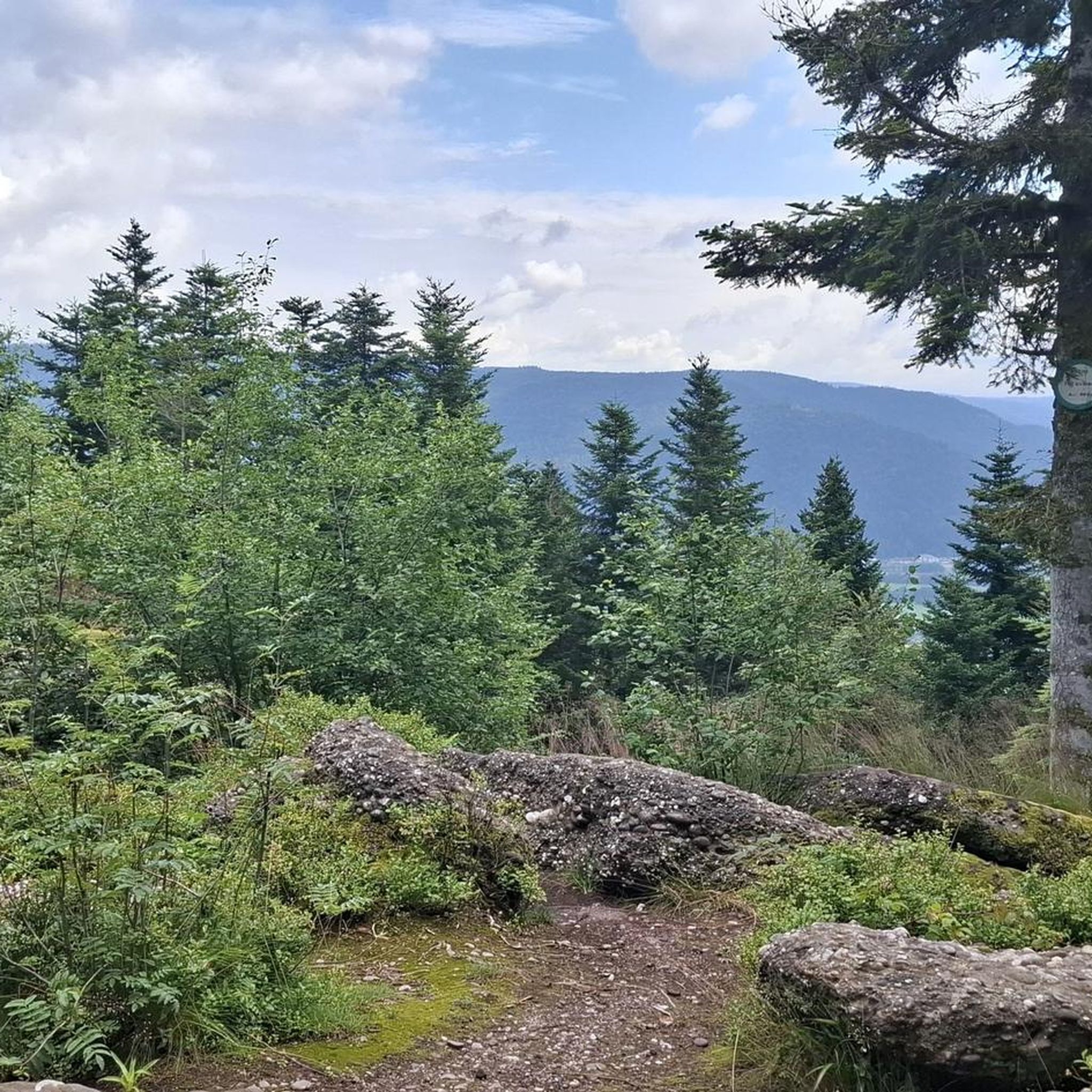
You'll encounter diverse natural beauty, including extensive woodlands and river valleys. Keep an eye out for unique geological features like the Sandstone boulders at Les Archettes. The region is also home to picturesque water features such as the Géhard Waterfall and Gué du Saut Waterfall.
Are there any historical sites or cultural attractions accessible by road bike?
Yes, several routes pass near historical and cultural sites. You can explore the 19th-century Fort du Parmont, part of the 'barrier de fer' defensive line, or visit the Saint-Pierre Abbey of Remiremont with its Romanesque and Gothic architecture. Within Raon-aux-Bois, the Saint-Amé church houses an 18th-century altarpiece.
Can I find routes that pass by waterfalls?
Yes, the vicinity of Raon-Aux-Bois is known for its natural waterfalls. You can find routes that lead to or near the Géhard Waterfall and Gué du Saut Waterfall, offering picturesque spots for a break.
Is parking generally available near road cycling trailheads in Raon-Aux-Bois?
While specific parking information for every trailhead isn't detailed, many routes in the region, especially those starting from towns like Pouxeux or Saint-Nabord, typically offer public parking options in or near the starting points, often close to the Voie Verte access points.
Most popular routes around Raon-Aux-Bois
Most popular attractions around Raon-Aux-Bois

Get inspired with the komoot mobile app


Explore more
Browse the best Road cycling routes in other regions.
