The best walks and hikes around Harol
4.4
(193)
953
hikers
93
hikes
Hiking around Harol offers a diverse landscape characterized by rolling hills, dense forests, and numerous water features like ponds and springs. The region's terrain includes gentle ascents and descents, making it accessible for various fitness levels. Trails often lead through wooded areas, past historical sites such as old forts, and along natural grottoes. This environment provides a mix of shaded paths and open views across the countryside.
Best hiking trails around Harol
- The most popular hiking route is Le Cuvant des Fées – The Grotto of Saint-Martin loop from Escles, an easy 4.5 miles (7.2 km) trail that takes about 1 hour 57 minutes to complete. This route explores a natural grotto and surrounding forest.
- Another top favourite among local hikers is Fort de Girancourt loop from Girancourt, a moderate 5.0 miles (8.0 km) path. This trail features historical fort remnants and varied woodland scenery.
- Local hikers also love the Le Cuvant des Fées – The Grotto of Saint-Martin loop from Vioménil, an easy 3.3 miles (5.2 km) trail leading through forested paths and near the grotto, often completed in about 1 hour 27 minutes.
- Hiking around Harol is defined by its dense woodlands, gentle hills, and tranquil water bodies. The network offers options for different ability levels, from easy strolls to more challenging ascents.
- The routes in Harol are highly rated by the komoot community with an average score of 4.5 stars from over 240 reviews. More than 1400 hikers have used komoot to explore Harol's varied terrain.
Last updated: July 2, 2026
4.7
(39)
163
hikers
7.11km
01:56
100m
100m
Easy hike. Great for any fitness level. Easily-accessible paths. Suitable for all skill levels.
5.0
(3)
19
hikers
7.98km
02:09
100m
100m
Moderate hike. Good fitness required. Easily-accessible paths. Suitable for all skill levels.

Sign up for free
4.0
(3)
14
hikers
Easy hike. Great for any fitness level. Easily-accessible paths. Suitable for all skill levels.
5.0
(2)
9
hikers
7.15km
01:56
100m
100m
Easy hike. Great for any fitness level. Easily-accessible paths. Suitable for all skill levels.
3.0
(1)
9
hikers
19.2km
05:14
290m
290m
Hard hike. Very good fitness required. Easily-accessible paths. Suitable for all skill levels.
Get access to more routes and recommendations from other explorers.
Sign up for free
Already have an account?
Our route recommendations are based on thousands of hikes, rides, and runs completed by other people on komoot.
Start today with a free account
Your next adventure awaits.
Login or Signup


Tips from the Community

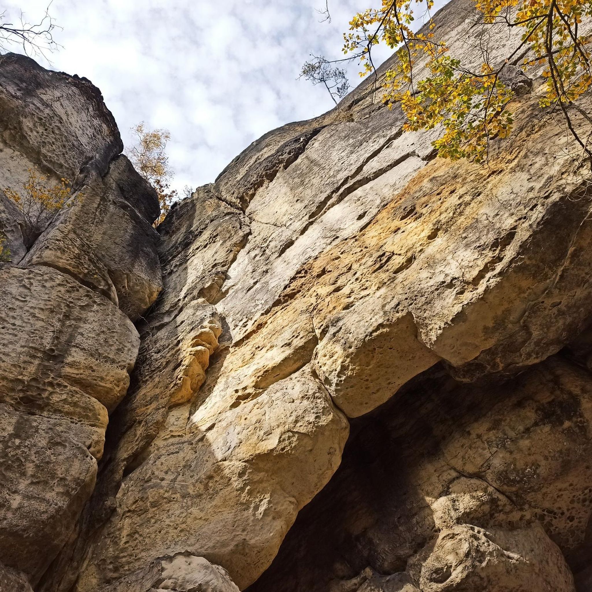
Long rock formation in winter with icicles.
0
0

unfortunately there were already people when we passed who were lingering
1
0
way to get to the bottom to a small door 😉
1
0
very pretty... little tour at the bottom of the cave 😉
1
0
Not many parking spaces
1
0

The parking lot is easily accessible, but not particularly large. There are information boards about the hiking area, also for mountain bikers.
3
0
The climb leads to a wooded rock with no view. This is probably a former castle hill.
2
0
The simple chapel in front of the grotto is closed with a light blue iron gate.
8
0
Frequently Asked Questions
Are there easy hiking trails suitable for beginners in Harol?
Yes, Harol offers many easy trails perfect for beginners. For example, the Le Cuvant des Fées – The Grotto of Saint-Martin loop from Vioménil is an easy 3.3-mile (5.2 km) trail through forested paths, often completed in about 1 hour 27 minutes. Overall, 46 out of 85 routes in the area are rated as easy.
What is the typical length and duration of hikes in Harol?
Hikes in Harol vary in length and duration, catering to different preferences. Many popular routes range from 3 to 5 miles (5 to 8 km), taking around 1.5 to 2.5 hours to complete. For instance, the Le Petit Étang – Étang de l'Homme Mort loop from Charmois-l'Orgueilleux is an easy 4.4-mile (7.1 km) trail that takes about 2 hours.
Are there family-friendly hiking options in Harol?
Harol's landscape, characterized by gentle ascents and descents through dense forests and along water features, makes it ideal for families. Many of the easy-rated trails are suitable for children, offering pleasant walks without significant challenges. Look for routes that are shorter in distance and have minimal elevation gain.
Are Harol's hiking trails suitable for dogs?
Generally, Harol's natural trails through woodlands and open countryside are very suitable for dogs, provided they are kept under control or on a leash, especially near livestock or in protected areas. Always ensure you carry water for your dog and clean up after them. Many local hikers enjoy these paths with their canine companions.
When is the best time of year to go hiking in Harol?
The best time for hiking in Harol is typically from spring to autumn (April to October). During these months, the weather is generally mild and pleasant, with lush greenery in spring and vibrant foliage in autumn. Summer offers warm conditions, perfect for enjoying the shaded forest paths. Always check local weather forecasts before heading out.
What can I see along the hiking trails in Harol?
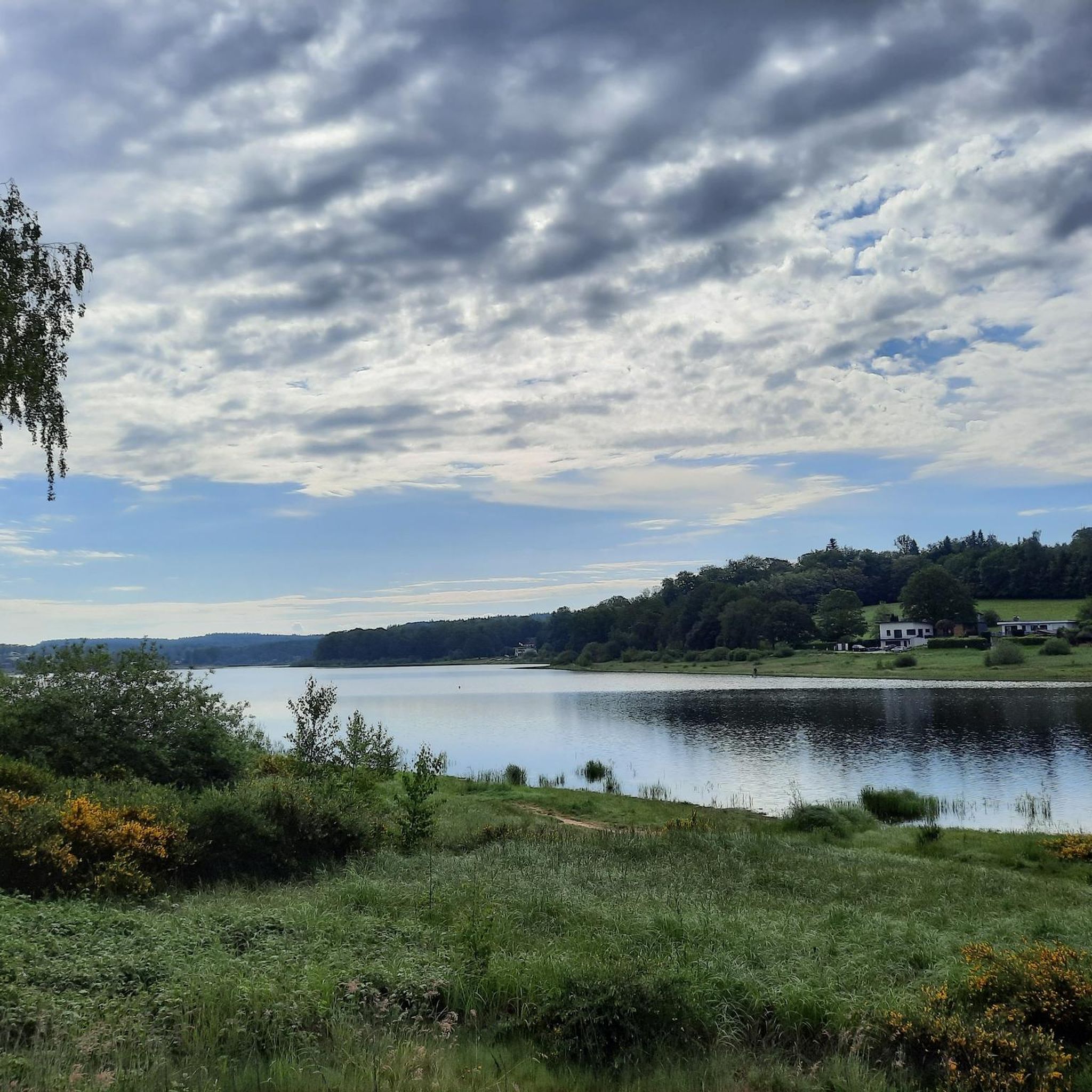
Harol's trails often lead through diverse scenery, including dense forests, rolling hills, and tranquil water bodies. You can also discover historical sites and natural wonders. Notable attractions include the mysterious The Grotto of Saint-Martin and the intriguing Le Cuvant des Fées. Some routes also pass by the scenic Lake Bouzey.
Are there any circular walks available in Harol?
Yes, many of the hiking routes in Harol are designed as circular walks, allowing you to start and end at the same point. This is convenient for those traveling by car. An example is the challenging but rewarding Avière Spring – Forest trail loop from Girancourt, a 11.9-mile (19.2 km) difficult route.
What do other hikers enjoy the most about hiking in Harol?
The hiking experience in Harol is highly rated by the komoot community, with an average score of 4.5 stars from over 240 reviews. Hikers often praise the region's tranquil woodlands, the variety of terrain from gentle hills to water features, and the well-maintained paths that make exploring accessible and enjoyable.
Is parking available at the trailheads in Harol?
While specific parking information for every trailhead isn't always detailed, many villages and popular starting points in Harol and the surrounding areas offer public parking facilities. It's advisable to check the route details on komoot for specific parking recommendations or look for designated parking areas in the nearest towns like Escles or Girancourt.
Can I reach Harol's hiking trails using public transport?
Access to some trailheads in Harol via public transport might be limited, as the region is primarily rural. While larger towns may have bus services, direct connections to more remote starting points for hikes can be infrequent. Planning your journey in advance and checking local bus schedules for the specific villages near your chosen trail is recommended.
Are there opportunities for a pub lunch or refreshments along the trails?
While many trails in Harol lead through natural, undeveloped areas, you will often find opportunities for refreshments in the small villages that dot the landscape. It's a good idea to plan your route to pass through a village around lunchtime or carry your own snacks and drinks, especially on longer hikes. Local eateries often offer traditional regional fare.
Are there any wild swimming spots near Harol's hiking routes?
The Harol region features numerous water bodies, including ponds and springs. While specific designated wild swimming spots directly adjacent to hiking trails might not be widely advertised, the presence of Lake Bouzey nearby suggests opportunities for water activities. Always exercise caution and check local regulations regarding swimming in natural waters.
Most popular attractions around Harol

Get inspired with the komoot mobile app


Explore more
Browse the best Hikes in other regions.
