The best road cycling routes around Chirassimont
4.4
(86)
1,330
riders
193
rides
Road cycling around Chirassimont features a diverse landscape suitable for various skill levels. The region offers a mix of rolling hills and more challenging ascents, with elevations reaching over 1000 meters on some routes. Cyclists can expect to navigate through varied terrain, including open countryside and forested areas. The area provides options for both moderate and difficult road cycling routes.
Best road cycling routes around Chirassimont
- The most popular road cycling route is Col des Cassettes (622 m) – Croix…
Last updated: July 2, 2026
5.0
(1)
22
riders
58.4km
03:02
1,050m
1,050m
Hard road ride. Very good fitness required. Mostly well-paved surfaces and easy to ride.
12
riders
50.4km
02:29
720m
720m
Moderate road ride. Good fitness required. Mostly well-paved surfaces and easy to ride.

Sign up for free
7
riders
42.8km
02:05
630m
630m
Moderate road ride. Good fitness required. Mostly well-paved surfaces and easy to ride.
9
riders
56.9km
02:47
800m
800m
Moderate road ride. Good fitness required. Mostly well-paved surfaces and easy to ride.
3.0
(1)
7
riders
24.6km
01:13
340m
340m
Moderate road ride. Good fitness required. Mostly well-paved surfaces and easy to ride.
Get access to more routes and recommendations from other explorers.
Sign up for free
Already have an account?
Our route recommendations are based on thousands of hikes, rides, and runs completed by other people on komoot.
Start today with a free account
Your next adventure awaits.
Login or Signup
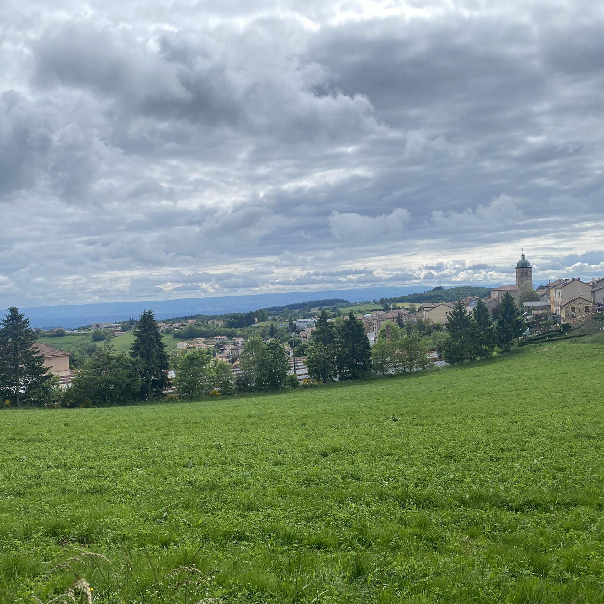
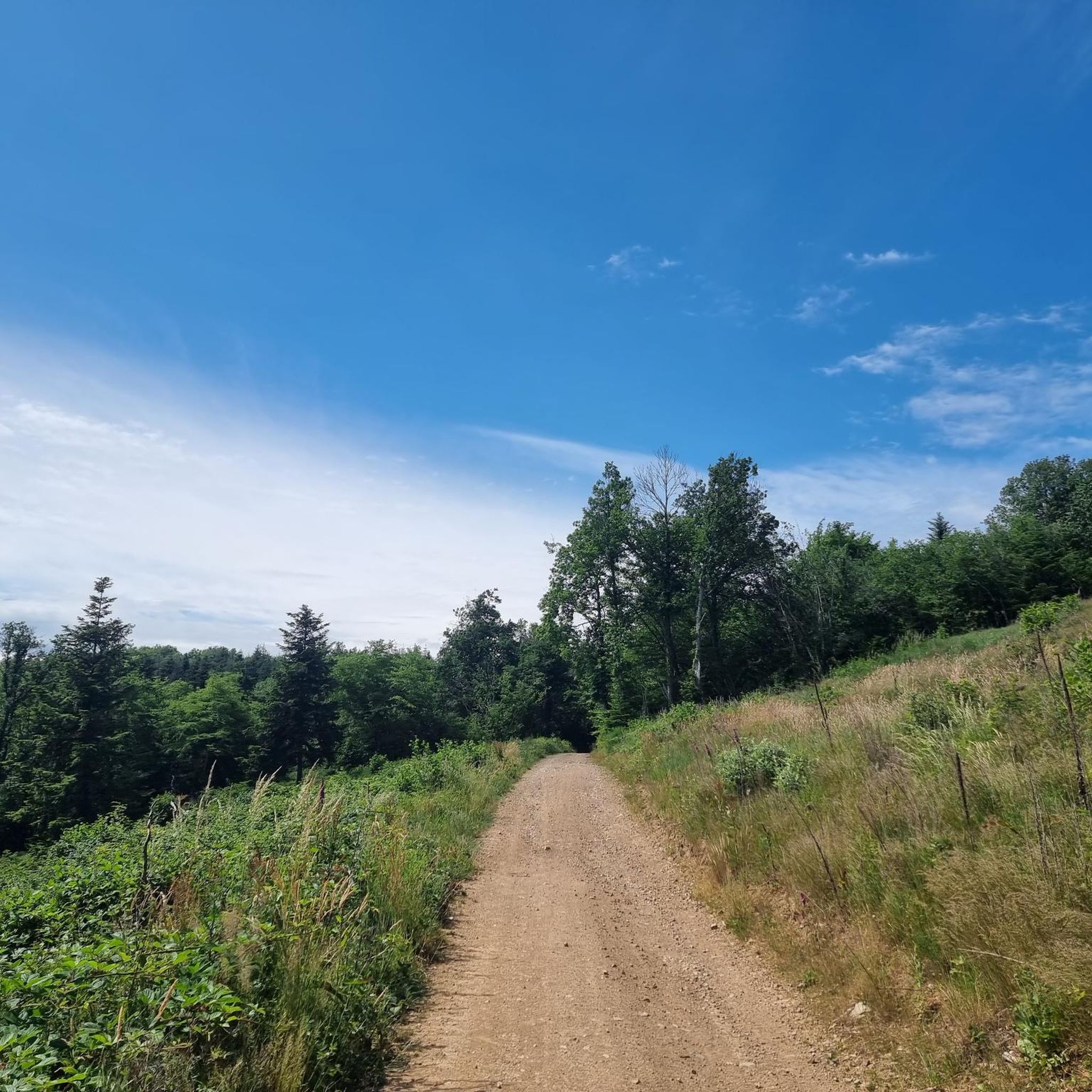
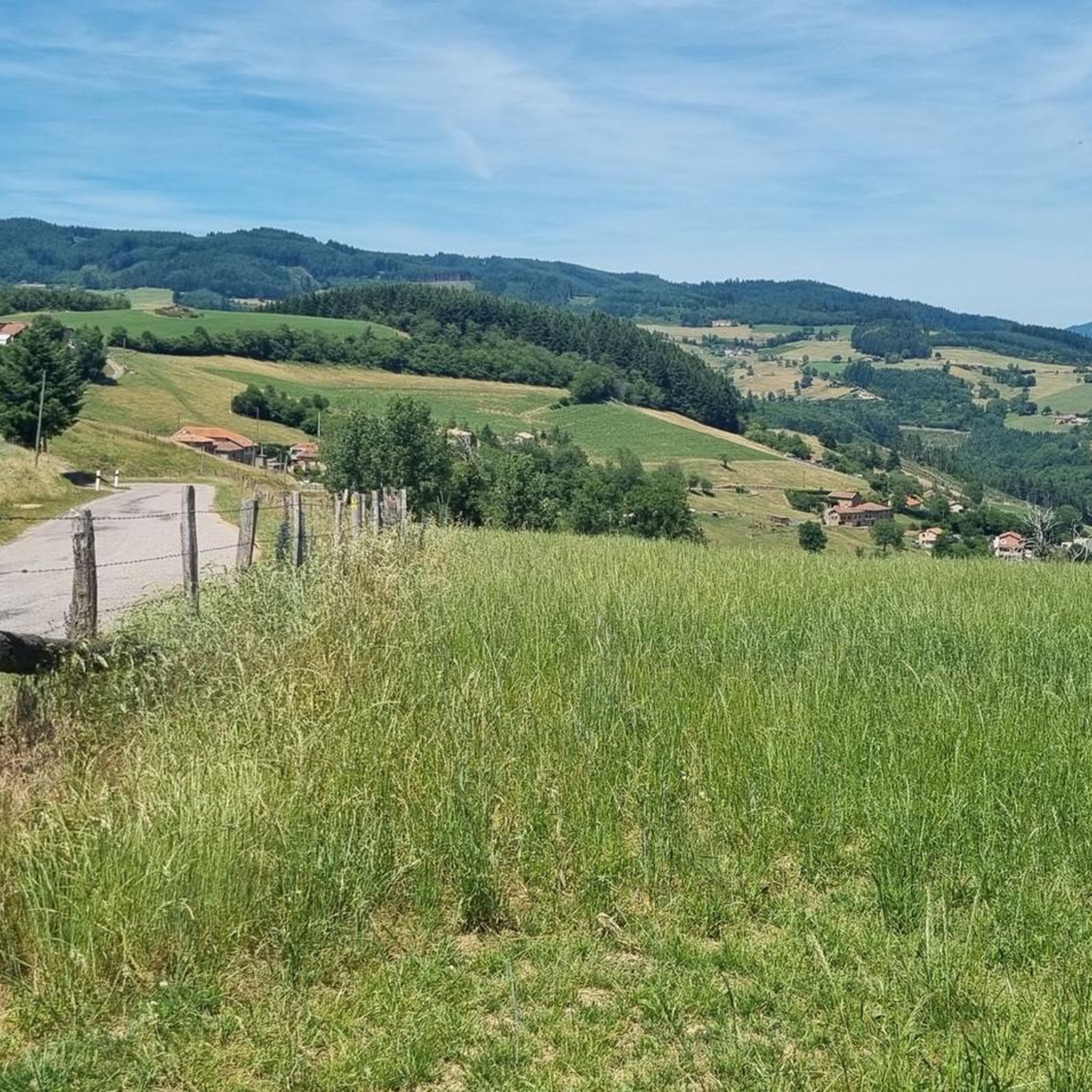
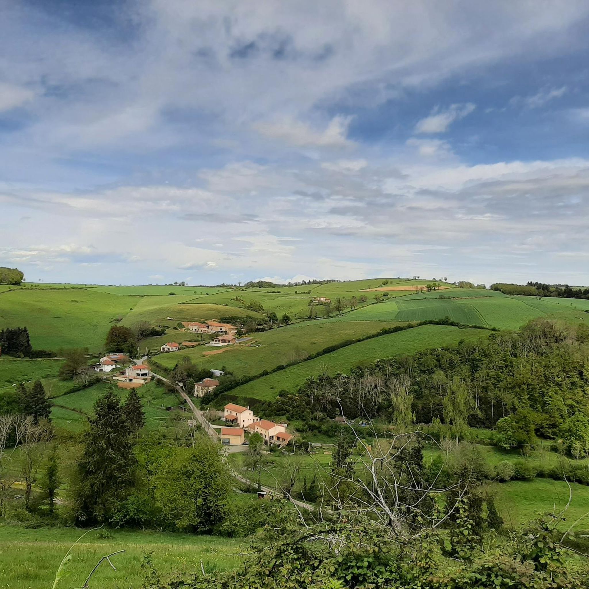
Tips from the Community

To see the Matagrin tower on the summit of mount Bessuivre
0
0

Some might pass by this small, sacred monument without a second glance, but perhaps a passing biker might pause for a moment before the cross and, in keeping with ancient custom, utter a "Praised be Jesus Christ." Jesus Christ died for us on the cross, for the Son of God took this death upon himself out of love for us. Christiane Völkel offers a further reflection on this: "I have discovered that it benefits my relationship with God to at least be ready for those moments when God needs me to express his love [today]."
1
0

A wonderful little road through the countryside, connecting the road out of Tarare via the viaduct to just above the village of St. Marcel L'Eclairé. The road has some elevation changes, but is very well-surfaced. There are very few vehicles, and you're rewarded with a beautiful view.
0
0

Very quiet climb, not too much traffic
0
0

Pass which joins Valsonne and Tarare.
0
0
Officially referenced pass. To be continued after the Cassettes or Croix Paquet passes.
0
0
The Col des Sauvages is located at an altitude of 723 m, in the Massif Central, on the watershed between the Atlantic Ocean and the Mediterranean Sea, in the Rhône department, in the village of Sauvages, near Tarare.
0
0
Starting point for many hikes in the surrounding area, it hosts the Valsonne drummer festival.
0
0
Frequently Asked Questions
What is the general terrain like for road cycling around Chirassimont?
Road cycling around Chirassimont features a diverse landscape with a mix of rolling hills and challenging ascents. You can expect to navigate through varied terrain, including open countryside and forested areas, with some routes reaching elevations over 1000 meters.
How many road cycling routes are available in the Chirassimont area?
There are over 170 road cycling routes around Chirassimont, offering a wide range of options for different skill levels.
Are there challenging road cycling routes with significant climbs in Chirassimont?
Yes, Chirassimont offers several challenging routes with significant elevation gains. For instance, the Col des Cassettes (622 m) – Croix de Paisselay loop from Machézal is a difficult route with over 1000 meters of climbing. Another demanding option is the Lac des Sapins – Lac des Sapins loop from Machézal, which also features over 1000 meters of elevation gain.
Are there any moderate road cycling routes suitable for less experienced cyclists?
Yes, there are nearly 100 moderate road cycling routes available. A popular moderate option is the Chessieux Viaduct – Pinay Bridge over the Loire loop from Machézal, which offers scenic views without extreme climbs.
What natural features or landmarks can I see while road cycling in Chirassimont?
Along the routes, you can encounter various natural features and landmarks. Notable attractions include the beautiful Lac des Sapins and the Croix de Paisselay. Some routes also offer views of the Loire river.
Are there any mountain passes to conquer in the Chirassimont area?
Yes, the region features several mountain passes that road cyclists can tackle. These include the Pilon Pass (727 m), Col des Cassettes (622 m), Col de la Croix Cazard (865 m), and Col de la Croix Paquet (598 m).
What do other cyclists say about the road cycling routes in Chirassimont?
The routes in Chirassimont are highly regarded by the komoot community, holding an average rating of 4.4 stars from over 60 reviews. More than 1400 road cyclists have explored the area, often praising its varied terrain and significant climbs.
Are there any loop routes for road cycling around Chirassimont?
Many of the road cycling routes in Chirassimont are designed as loops, allowing you to start and finish at the same point. Examples include the Water Point in Saint-Jodard loop from Machézal and the Roadbike loop from Fourneaux.
What is the longest road cycling route available in Chirassimont?
One of the longer routes is the Lac des Sapins – Lac des Sapins loop from Machézal, which spans approximately 66.6 kilometers (41.4 miles).
Are there routes that offer scenic views or viewpoints?
Yes, several routes provide scenic vistas. The Chessieux Viaduct – Pinay Bridge over the Loire loop from Machézal, for instance, offers beautiful views of the Loire river and its surrounding landscapes.
What is the average duration for road cycling routes in Chirassimont?
Route durations vary significantly based on distance and elevation. Moderate routes like the Water Point in Saint-Jodard loop from Machézal can be completed in about 2 hours, while more difficult and longer routes, such as the Col des Cassettes (622 m) – Croix de Paisselay loop from Machézal, typically take around 3 hours.
Most popular attractions around Chirassimont

Get inspired with the komoot mobile app


Explore more
Browse the best Road cycling routes in other regions.
