The best cycling routes around Sankt Amarin
4.4
(580)
11,011
riders
159
rides
Touring cycling routes around Sankt Amarin are situated in a region characterized by significant elevation changes, including mountain passes and valleys. The terrain features a mix of forested areas and open landscapes, indicative of the Vosges mountains. This area offers varied cycling conditions, from dedicated greenways to challenging climbs.
Best touring cycling routes around Sankt Amarin
- The most popular touring cycling route is Col Amic Pass – Grand Ballon loop from Saint-Amarin, a 28.7 miles (46.2 km) trail that…
Last updated: October 15, 2026
4.8
(12)
1,208
riders
45.3km
03:29
1,160m
1,160m
Hard bike ride. Very good fitness required. Mostly paved surfaces. Suitable for all skill levels.
4.8
(17)
357
riders
49.6km
03:52
1,250m
1,250m
Hard bike ride. Very good fitness required. Mostly paved surfaces. Suitable for all skill levels.

4.0
(6)
247
riders
53.9km
03:47
1,010m
1,010m
Hard bike ride. Very good fitness required. Mostly paved surfaces. Suitable for all skill levels.
4.7
(9)
123
riders
28.2km
02:22
890m
890m
Hard bike ride. Very good fitness required. Mostly paved surfaces. Suitable for all skill levels.
5.0
(1)
63
riders
Easy bike ride. Great for any fitness level. Mostly paved surfaces. Suitable for all skill levels.
Get access to more routes and recommendations from other explorers.
Already have an account?
Our route recommendations are based on thousands of hikes, rides, and runs completed by other people on komoot.
Start today with a free account
Your next adventure awaits.
Popular around Sankt Amarin

Thatches, lakes and forests – Tour des Ballons des Vosges
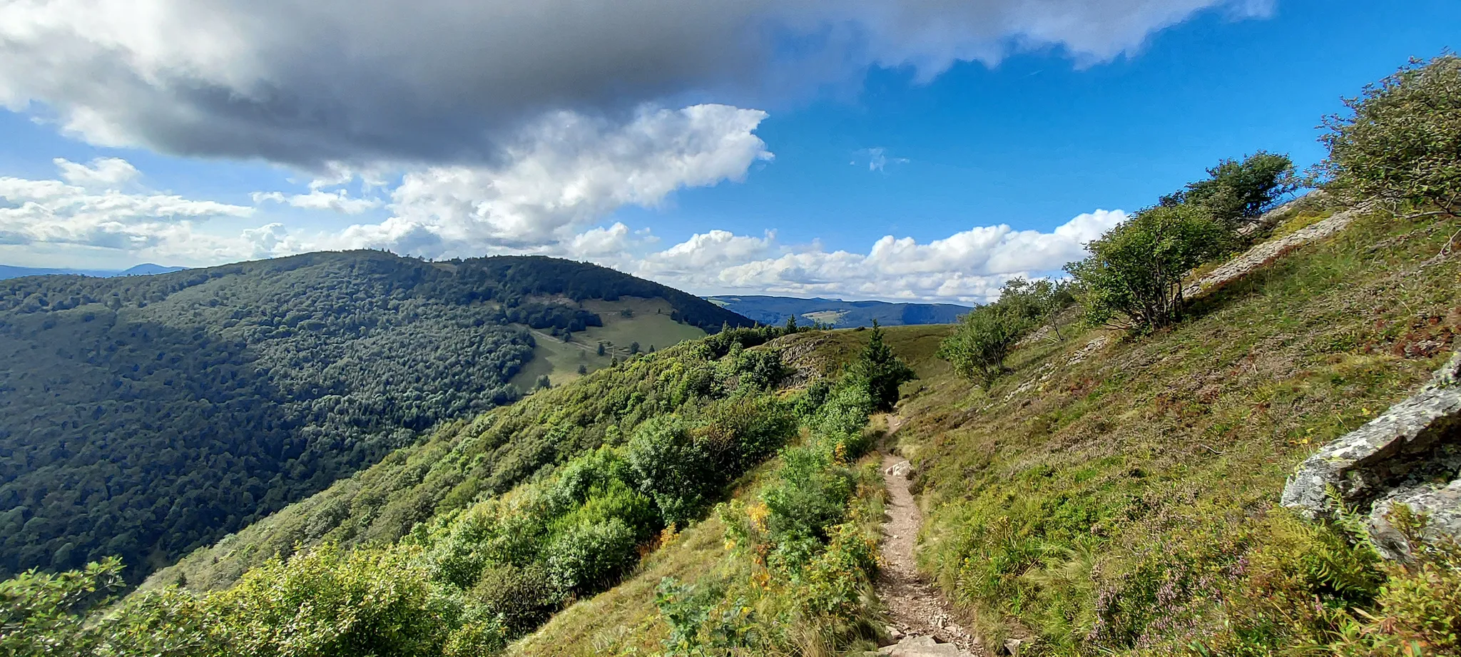
Vosges hike – Petit et Grand Ballon par le Florival
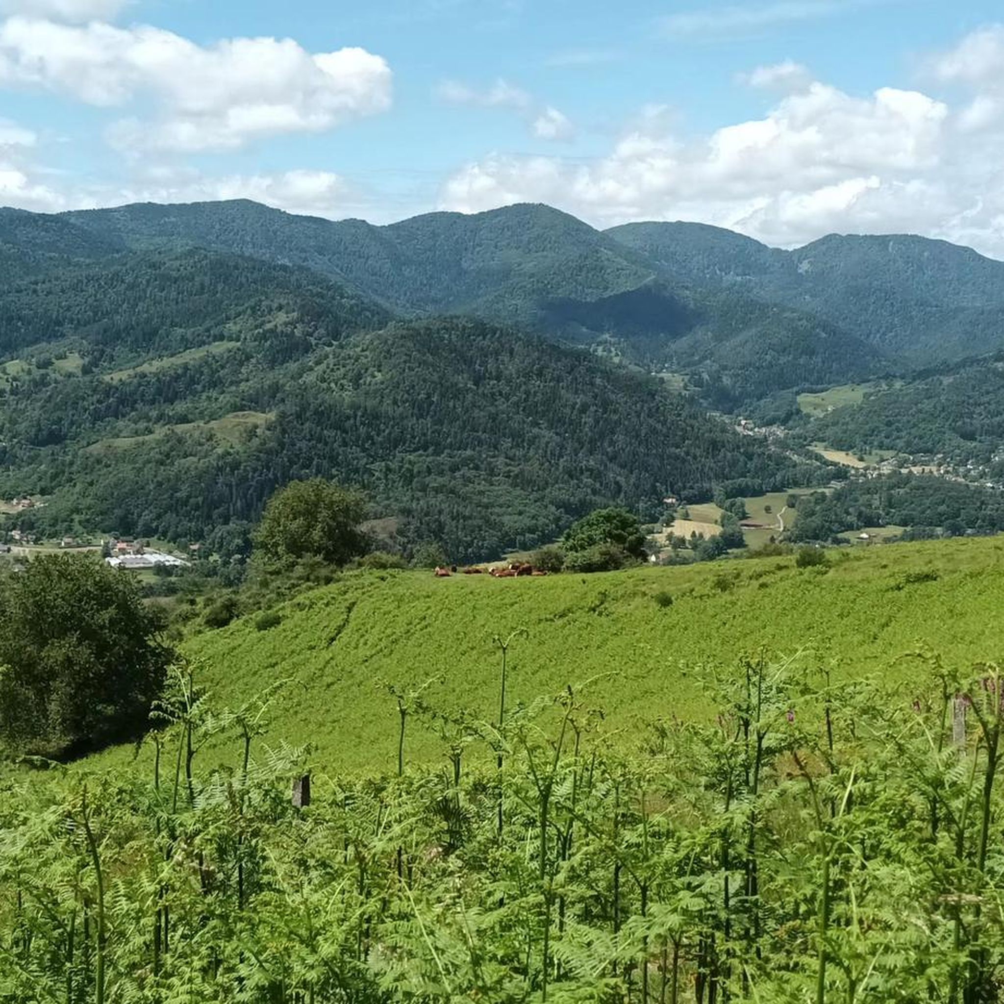
Road Cycling Routes around Sankt Amarin
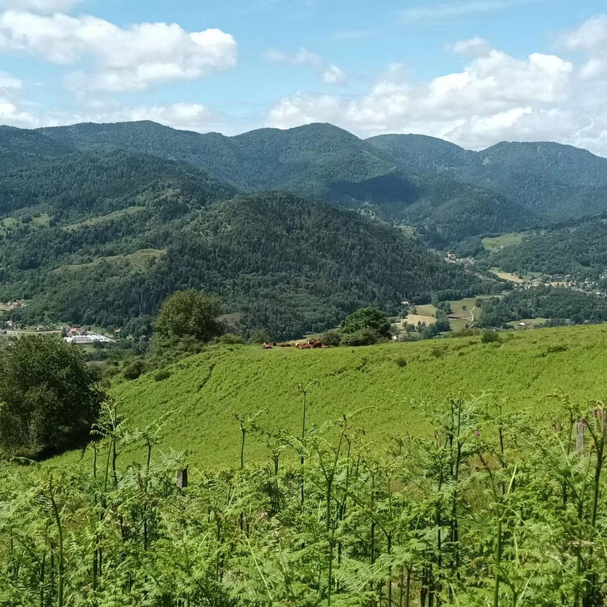
Hiking around Sankt Amarin
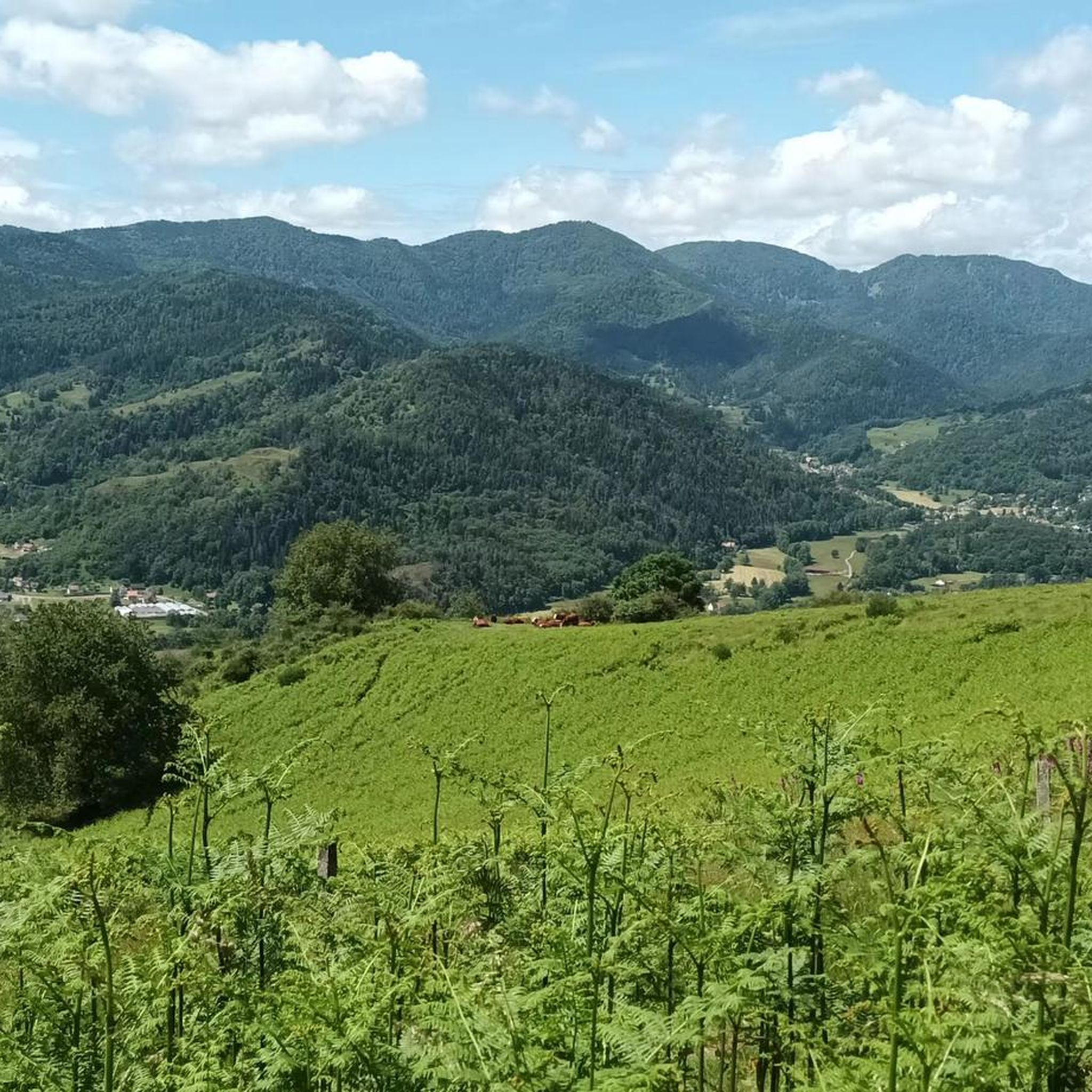
MTB Trails around Sankt Amarin
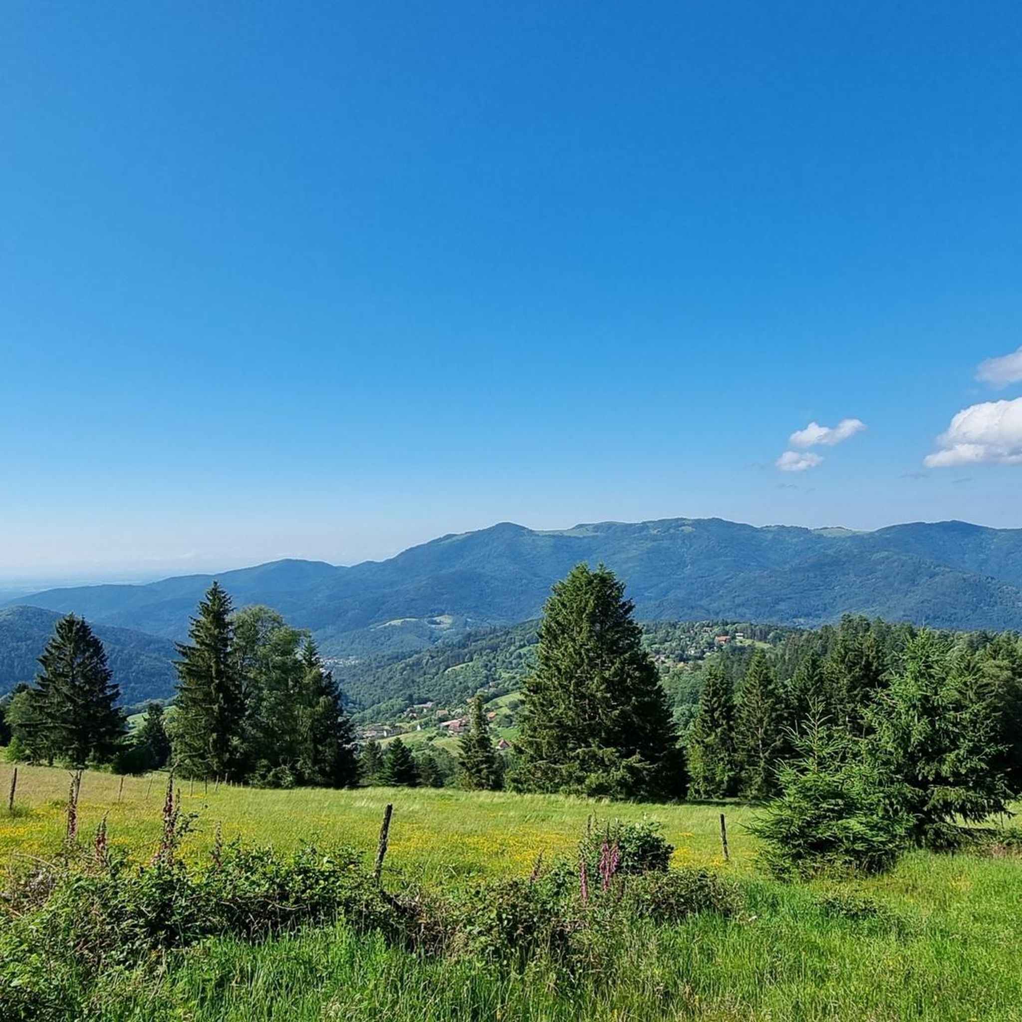
Running Trails around Sankt Amarin

Gravel biking around Sankt Amarin
Mountain Hikes around Sankt Amarin

Tips from the Community

Le Grand Ballon (1325 m) forms the highest point of the Vosges mountains and is one of the most famous destinations for cyclists in the mountain range. Although the summit itself is slightly higher (1424 m), the mountain pass is located at an altitude of approximately 1325 meters on the side of the Route des Crêtes. From here, vast panoramas open up over the Vosges, the Alsace plain, and on clear days even as far as the Black Forest and the Alps. For cyclists, Le Grand Ballon is a legendary climb. Long and often challenging ascents lead from the various valleys to this iconic mountain. The final kilometers above the tree line offer an impressive scenery of mountain meadows, rocky outcrops, and expansive vistas.
6
0
The Ferme-Auberge du Haag is a traditional mountain inn located near the Col du Haag (1233 m), at the foot of the Grand Ballon. For generations, the farms on the higher Vosges ridges have been welcoming hikers, cyclists, and winter sports enthusiasts. The Haag farm is situated in the middle of mountain pastures, with a beautiful view over the southern Vosges and the Grand Ballon.
6
0
When you drive from the Route des Crêtes towards Le Grand Ballon, you pass the Col du Haag (1233 m) almost unnoticed. Yet, this pass marks a special point on the southern flank of the highest mountain in the Vosges. Here, steep roads from the Thurdal leave the wooded slopes and reach the open heights of the massif. From the col, a typical Vosges landscape unfolds with mountain meadows, scattered farms, and sweeping views. The proximity of the Grand Ballon is felt everywhere: the imposing summit towers above the pass and forms the natural goal of the final climbing kilometers. For cyclists, the Col du Haag is mainly known as the point where difficult climbs from the valleys converge before the road continues to rise to the highest point of the Vosges.
6
0
The Col d' Oderen is an 8.2 kilometer climb. This is a category 3 climb. It is located in Cornimont, Lorraine, France. The average gradient of this climb is 3.9% with a maximum of 6%. The Col d' Oderen rises from 573 meters at the start to 885 meters at the top, with a total of 312 meters of elevation gain.
7
0

And on July 18, 2026, the Tour de France came up here. The finish was then in Le Markstein. The stage was won by Tadej Pogacar. He had attacked on this climb in the last two kilometers and no one could follow him.
2
0

Finally reached the highlight of the day
1
0

Summer 2026: the chalet, its restaurant and the self-service room are closed. Only the tables on the terrace are accessible, but the vegetation has grown. See https://chalethotel-grandballon.com/ : "Dear customers, Due to a lack of staff, the Chalet-Hôtel du Grand Ballon is not able to welcome you at the moment, nor to respond to your reservation requests for the hotel and the restaurant. We have made the decision to close our establishment until we gather the right conditions to resume our activity. Thank you for your understanding The Manager"
1
0
beautiful cycle path along the Thur
0
0
Frequently Asked Questions
How many touring cycling routes are available around Sankt Amarin?
There are 14 touring cycling routes around Sankt Amarin, offering a variety of experiences for different skill levels.
What kind of terrain can I expect on touring cycling routes near Sankt Amarin?
The region around Sankt Amarin, situated in the Vosges mountains, features significant elevation changes, including mountain passes and valleys. You'll encounter a mix of forested areas and open landscapes, with routes ranging from dedicated greenways to challenging climbs.
What do other cyclists say about the touring cycling routes in Sankt Amarin?
The touring cycling routes in Sankt Amarin are highly rated by the komoot community, with an average score of 4.3 stars from over 180 reviews. More than 4,600 touring cyclists have used komoot to explore the varied terrain, often praising the diverse landscapes and challenging climbs.
Are there any waterfalls I can visit along touring cycling routes in Sankt Amarin?
Yes, the area boasts several beautiful waterfalls. You might consider visiting the Bockloch Waterfall or the Siehlbaechle Waterfall, among others, which are popular highlights in the region.
Are there places to stop for refreshments or shelter on the touring cycling routes?
Yes, you'll find several huts and farm inns that offer opportunities for refreshments or shelter. Notable spots include the Haag Farm, the Grand Ballon Chalet Hotel, and the Gresson Moyen Farm Inn.
Are there family-friendly touring cycling routes in Sankt Amarin?
While many routes involve significant climbs, there are 4 easy touring cycling routes available. These routes typically feature less elevation gain and are suitable for families or those seeking a more relaxed ride.
Can I find circular touring cycling routes around Sankt Amarin?
Yes, many of the touring cycling routes around Sankt Amarin are designed as loops, allowing you to start and finish at the same point. For example, the Voie Verte "route du Haag – Haag Pass loop from Saint-Amarin is a challenging circular route covering 23.9 km.
What is a good moderate touring cycling route for a day trip?
For a moderate day trip, consider the Soda Bridge, Fellering – Peat bog loop from Saint-Amarin. This 25.6 km route takes approximately 1 hour 39 minutes to complete and offers a balanced challenge with around 205 meters of elevation gain.
Is public transport accessible for reaching touring cycling routes in Sankt Amarin?
Information on specific public transport links directly to trailheads is limited. However, Sankt Amarin itself is a commune, and local bus services may connect to nearby towns. It's advisable to check local transport schedules for connections to your desired starting points.
Where can I park my car when cycling in Sankt Amarin?
While specific parking areas for cyclists aren't detailed, Sankt Amarin, as a town, will have public parking facilities. For routes starting directly from the town, you can typically find parking in or near the town center. For routes beginning outside the main settlement, look for designated parking spots near trailheads or points of interest.
What is the best time of year for touring cycling in Sankt Amarin?
The best time for touring cycling in the Vosges mountains, including Sankt Amarin, is generally from late spring to early autumn (May to October). During these months, the weather is typically milder, and mountain passes are clear of snow, offering optimal conditions for exploring the varied terrain.
Are there any specific permits required for cycling certain routes in Sankt Amarin?
Generally, no specific permits are required for touring cycling on public roads and marked trails in the Sankt Amarin area. However, always respect private property signs and any local regulations that might be in place for specific natural reserves or protected areas.
Are dogs allowed on touring cycling routes in Sankt Amarin?
Many outdoor routes in the Vosges region are dog-friendly, especially on public paths and forest roads. However, it's always recommended to keep dogs on a leash, particularly in nature reserves, near livestock, or in areas with wildlife. Check specific route details for any restrictions.
Most popular routes around Sankt Amarin
Most popular attractions around Sankt Amarin

Get inspired with the komoot mobile app


Explore more
Browse the best Cycling routes in other regions.
