The best cycling routes around Hautecour
4.4
(612)
4,951
riders
189
rides
Touring cycling around Hautecour offers routes through a rural mountain commune in the Coeur de Tarentaise region. The area features diverse landscapes, including hamlets situated between 900 and 1,200 meters in altitude. Cyclists can explore serene forests, expansive Alpine pastures, and routes near an artificial lake. The terrain varies from well-paved paths to more strenuous segments, providing a range of experiences.
Best touring cycling routes around Hautecour
- The most popular touring cycling route is Grand Lac de Clairvaux – Saint-Nithier…
Last updated: October 9, 2026
3.9
(18)
154
riders
Moderate bike ride. Good fitness required. Mostly paved surfaces. Suitable for all skill levels.
4.5
(23)
249
riders
Hard bike ride. Very good fitness required. Mostly paved surfaces. Suitable for all skill levels.

3.5
(10)
81
riders
Hard bike ride. Very good fitness required. Mostly paved surfaces. Suitable for all skill levels.
4.2
(13)
55
riders
Easy bike ride. Great for any fitness level. Mostly paved surfaces. Suitable for all skill levels.
4.3
(3)
53
riders
52.3km
03:28
790m
790m
Hard bike ride. Very good fitness required. Mostly paved surfaces. Suitable for all skill levels.
Get access to more routes and recommendations from other explorers.
Already have an account?
Our route recommendations are based on thousands of hikes, rides, and runs completed by other people on komoot.
Start today with a free account
Your next adventure awaits.

Tips from the Community


The Saut de la Saisse is a waterfall in France located in the Jura massif, at the point where the Ain river flows into the Vouglans reservoir at Pont-de-Poitte and Patornay, between Lons-le-Saunier and Clairvaux-les-Lacs. A "marmite du diable", "marmite de géant" or "marmite glaciaire" in Switzerland (or simply "marmite" or "chaudron") is a more or less cylindrical natural cavity carved into the rock by ancient, generally torrential watercourses, carrying pebbles or gravel, which promotes swirling erosion (a phenomenon called "marmitage").
0
0
The washhouse is located below the stone water tower. So this tower? A simple water tower, but with a shape that is unusual and original to say the least, as it is reminiscent of a medieval tower! Today, this water tower is disused and no longer in service. The tower houses a fountain and a washhouse under its arches, which unfortunately no longer has water. https://www.leprogres.fr/sortir/2017/02/19/poitte-le-lavoir-de-la-tour
0
0

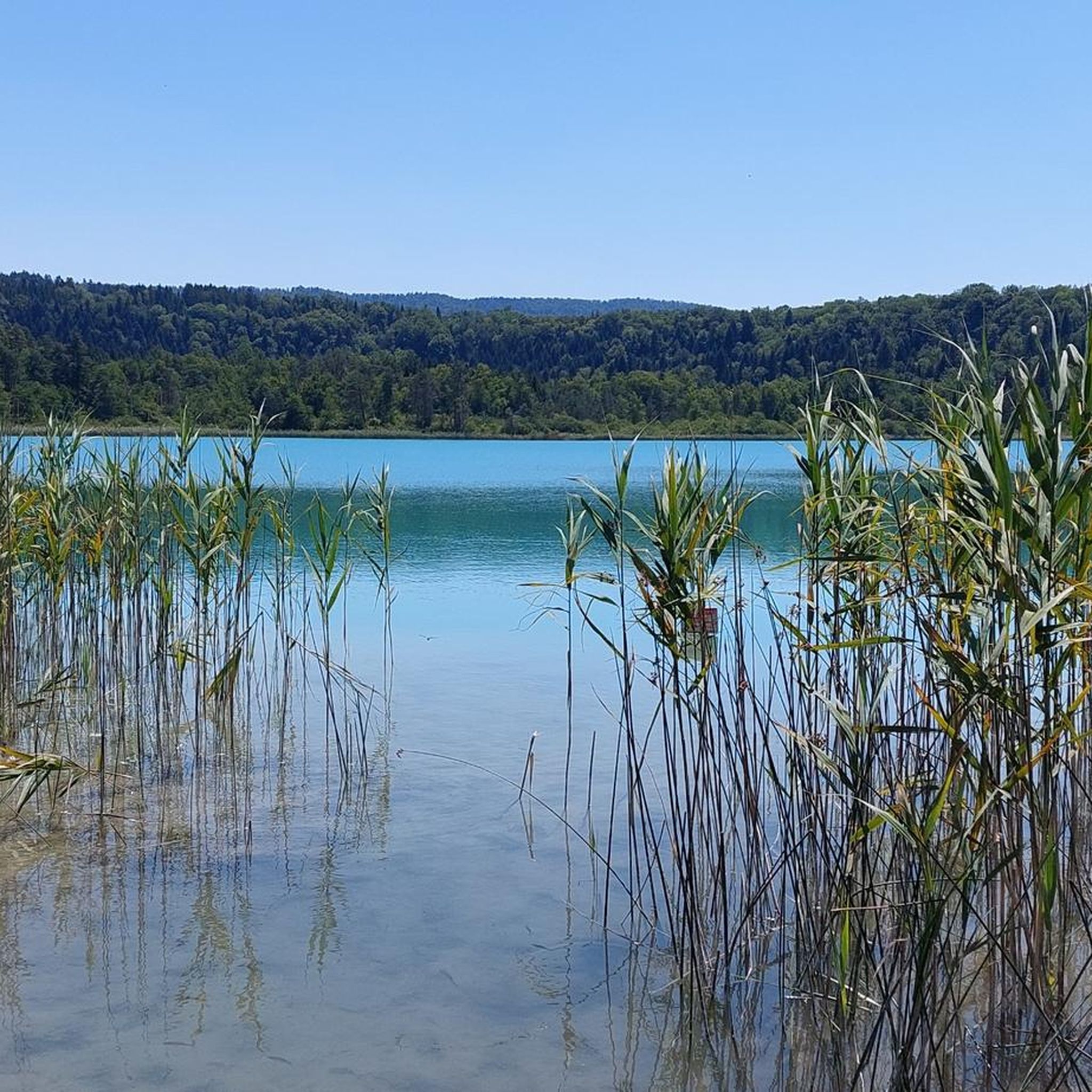
The old abbey right on the lake.
0
0
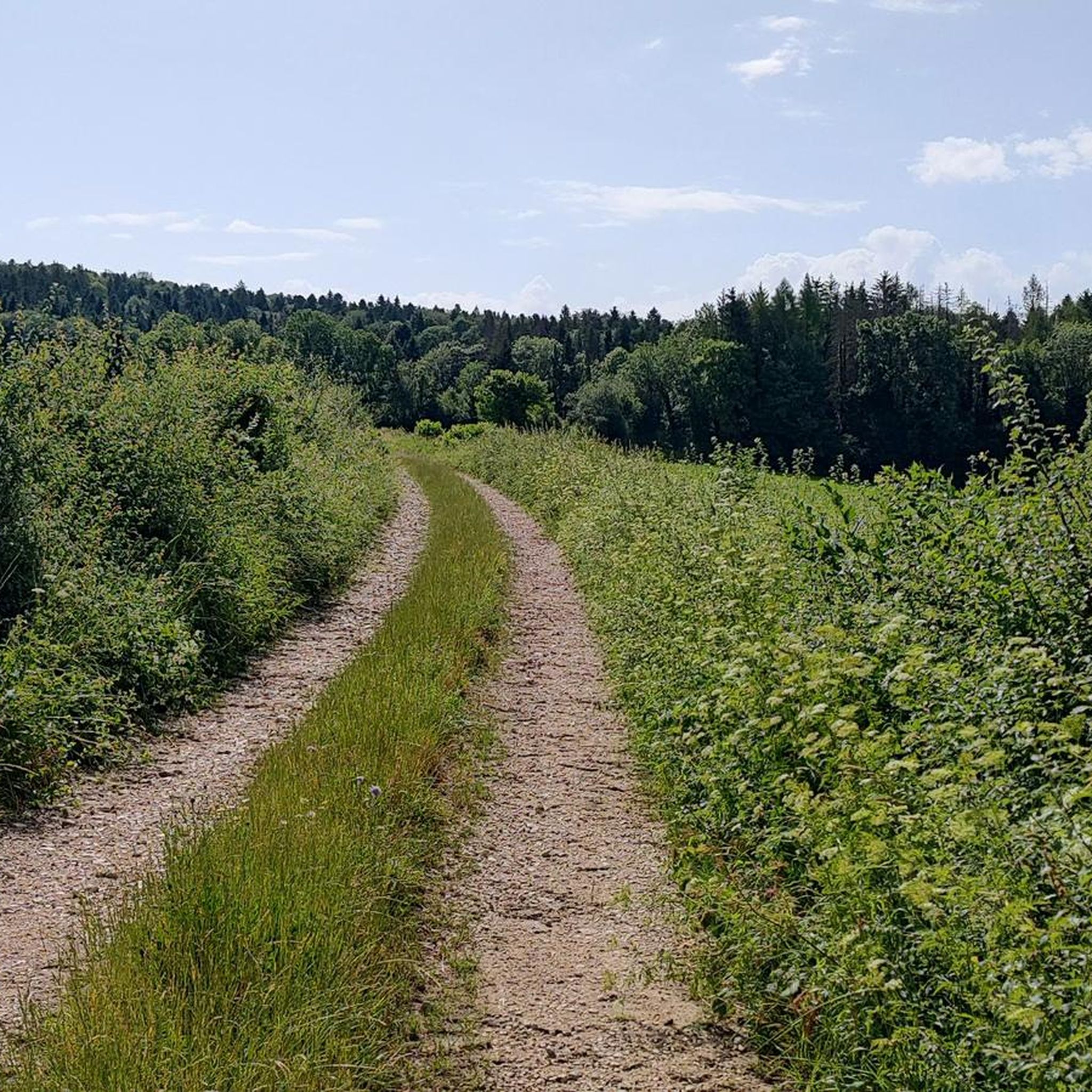
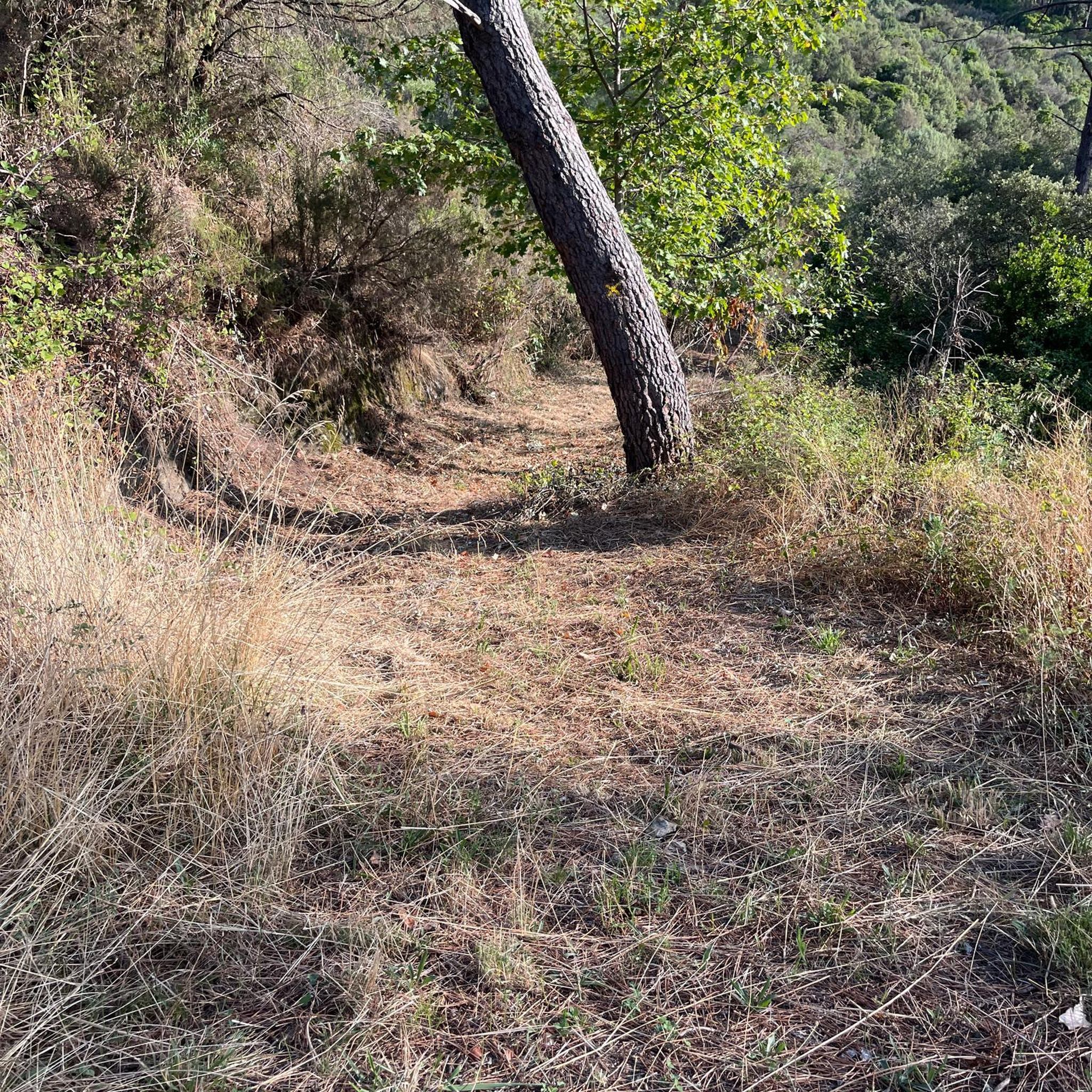
Gravel forest paths difficult to navigate
0
0

Frequently Asked Questions
How many touring cycling routes are available around Hautecour?
There are over 160 touring cycling routes to explore around Hautecour, offering a wide range of options for different skill levels and preferences.
What are the difficulty levels of touring cycling routes in the Hautecour area?
The routes around Hautecour cater to all abilities. You'll find approximately 30 easy routes, over 60 moderate routes, and more than 70 difficult routes, ensuring there's a challenge for every touring cyclist.
Are there any family-friendly touring cycling routes around Hautecour?
Yes, there are several easy routes suitable for families. For example, the Grand Lac de Clairvaux – Lac de Clairvaux-les-Lacs loop from Clairvaux-les-Lacs is an easy 11.9 km trail that takes about 53 minutes to complete, offering pleasant lakeside scenery.
What kind of terrain can I expect on touring cycling routes near Hautecour?
The terrain around Hautecour is diverse, ranging from easy, well-paved paths to more strenuous segments that may be unpaved and require good fitness. You'll cycle through rural mountain landscapes, serene forests, and expansive Alpine pastures, with routes often featuring considerable elevation gains.
What can I see or explore along the touring cycling routes around Hautecour?
Many routes offer scenic views and pass by interesting landmarks. You can enjoy views of the Grand Lac de Clairvaux and visit the Saint-Nithier Church on the Grand Lac de Clairvaux – Saint-Nithier Church loop. The region also features historic hamlets with traditional architecture, oratories, chapels, and the Saint-Etienne Church with its 12th-century Roman bell tower.
Are there any waterfalls accessible from the cycling routes?
While the immediate Hautecour area is known for its mountain landscape, some routes in the broader region, particularly around Clairvaux-les-Lacs, offer access to beautiful waterfalls. You might consider exploring highlights like Le Grand Saut, Fan Waterfall, or The Hérisson Waterfalls.
What do other touring cyclists enjoy most about cycling in the Hautecour area?
The area is highly rated by the komoot community, with an average score of 4.3 stars from over 370 reviews. Reviewers often praise the diverse landscapes, from rural mountain scenery to forests and Alpine pastures, and the variety of routes suitable for different fitness levels.
Are there any circular touring cycling routes available?
Yes, many of the touring cycling routes around Hautecour are loops, allowing you to start and end at the same point. Examples include the Doucier Beach – Grand Lac de Clairvaux loop and the Grand Lac de Clairvaux – La Chaux-du-Dombief loop.
Is public transport available to access cycling routes in Hautecour?
Hautecour is a rural mountain commune. While specific public transport options directly to trailheads might be limited, major towns in the Coeur de Tarentaise region may offer connections. It's advisable to check local transport schedules for the most up-to-date information on reaching the area with your bike.
What is the best time of year for touring cycling in Hautecour?
The best time for touring cycling in Hautecour is generally during the warmer months, from spring to autumn, when the mountain roads are clear of snow and the weather is pleasant. This allows for full enjoyment of the diverse landscapes, including forests and Alpine pastures.
Are there any unique cultural attractions along the cycling routes?
Beyond natural beauty, the region offers cultural insights. You can discover the 'Lez'arts open-air art trail' featuring Land'Art creations made from natural materials, or explore the historic hamlets like Le Breuil and Le Pradier with their traditional stone and wood houses, and even a goat farm.
Are there any challenging road cycling routes for experienced cyclists?
Absolutely. For experienced road cyclists, the area offers demanding climbs such as the 'Montée de Hautecour from Moutiers,' a challenging 9.68 km ascent with an average gradient of 7.2%. Other strenuous options include the 'Col du Tra' loop and the extensive 'Brides-les-Bains – Montée de Hautecour' loop.
Most popular routes around Hautecour
Most popular attractions around Hautecour

Get inspired with the komoot mobile app


Explore more
Browse the best Cycling routes in other regions.
