The best running trails around Gabriac
5.0
(4)
240
runners
27
runs
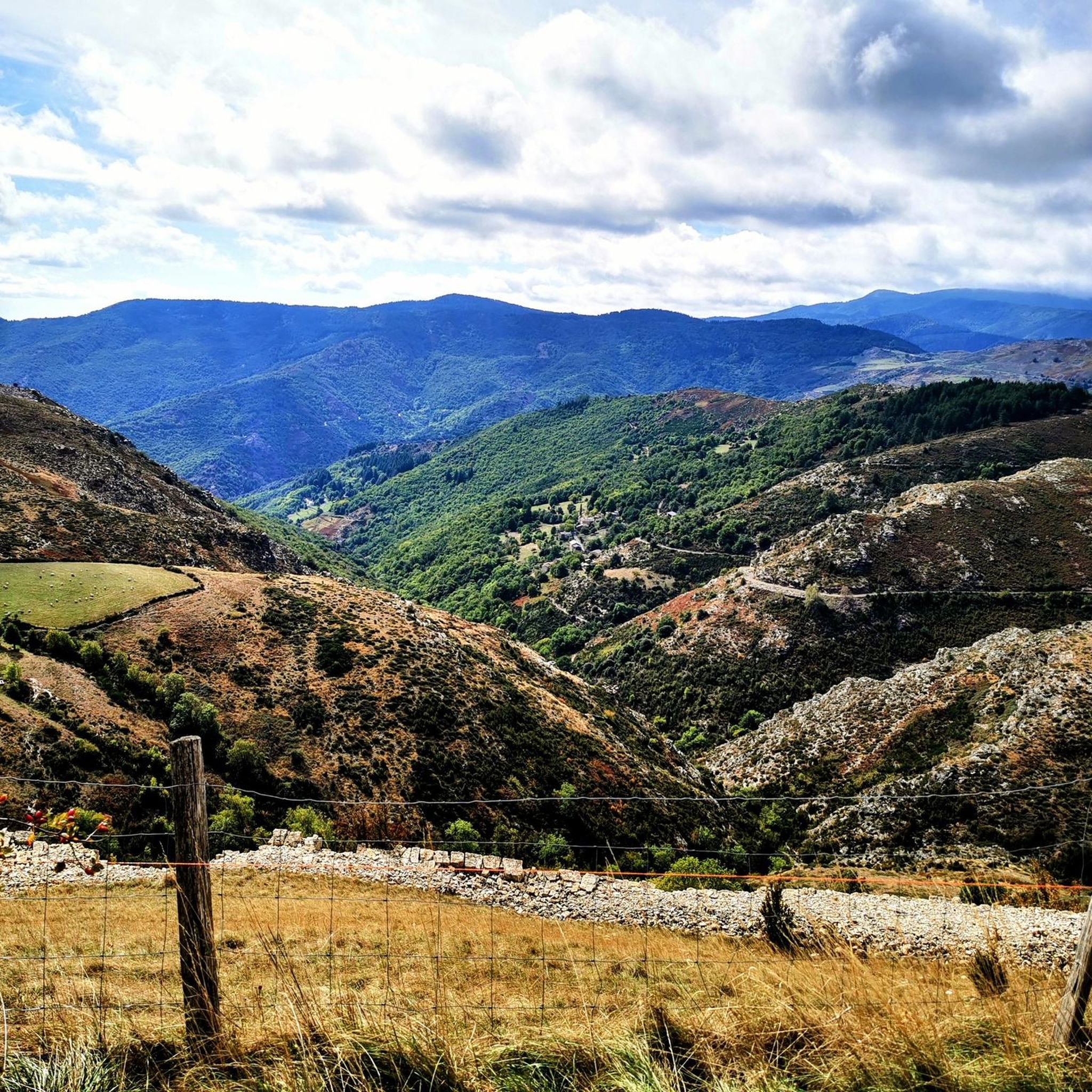
Jogging around Gabriac offers a challenging experience through a landscape characterized by the rugged terrain of the Cévennes National Park. The region features significant elevation changes and dense woodlands, providing varied running conditions. Many routes traverse mountainous areas, demanding good fitness levels from runners. This area is ideal for those seeking demanding running routes with natural scenery.
Best jogging routes around Gabriac
- The most popular jogging route is Roc de Galta – trail loop starting from Serre de la Can…
Last updated: August 18, 2026
7
runners
Hard run. Good fitness required. Sure-footedness, sturdy shoes and alpine experience required.
4
runners
16.3km
02:03
370m
370m
Jog the difficult 10.1-mile Bézuc Trail in Cévennes National Park, gaining 1228 feet with views towards La Can de l’Hospitalet.

Sign up for free
5.0
(2)
47
runners
11.0km
01:20
220m
220m
Hard run. Good fitness required. Sure-footedness, sturdy shoes and alpine experience required.
25
runners
14.5km
01:47
420m
420m
Hard run. Very good fitness required. Mostly paved surfaces. Suitable for all skill levels.
22
runners
13.4km
01:48
550m
550m
Hard run. Very good fitness required. Mostly paved surfaces. Suitable for all skill levels.
Get access to more routes and recommendations from other explorers.
Sign up for free
Already have an account?
Our route recommendations are based on thousands of hikes, rides, and runs completed by other people on komoot.
Start today with a free account
Your next adventure awaits.
Login or Signup
Tips from the Community


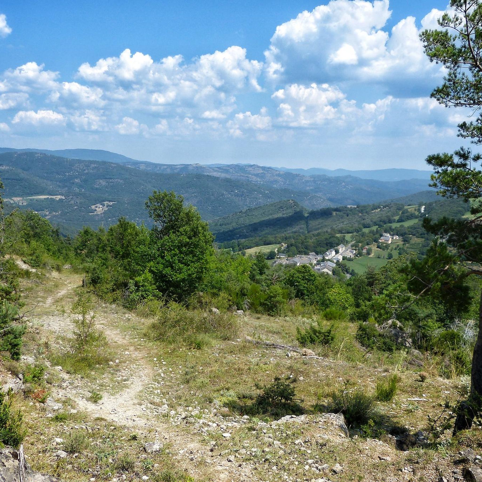
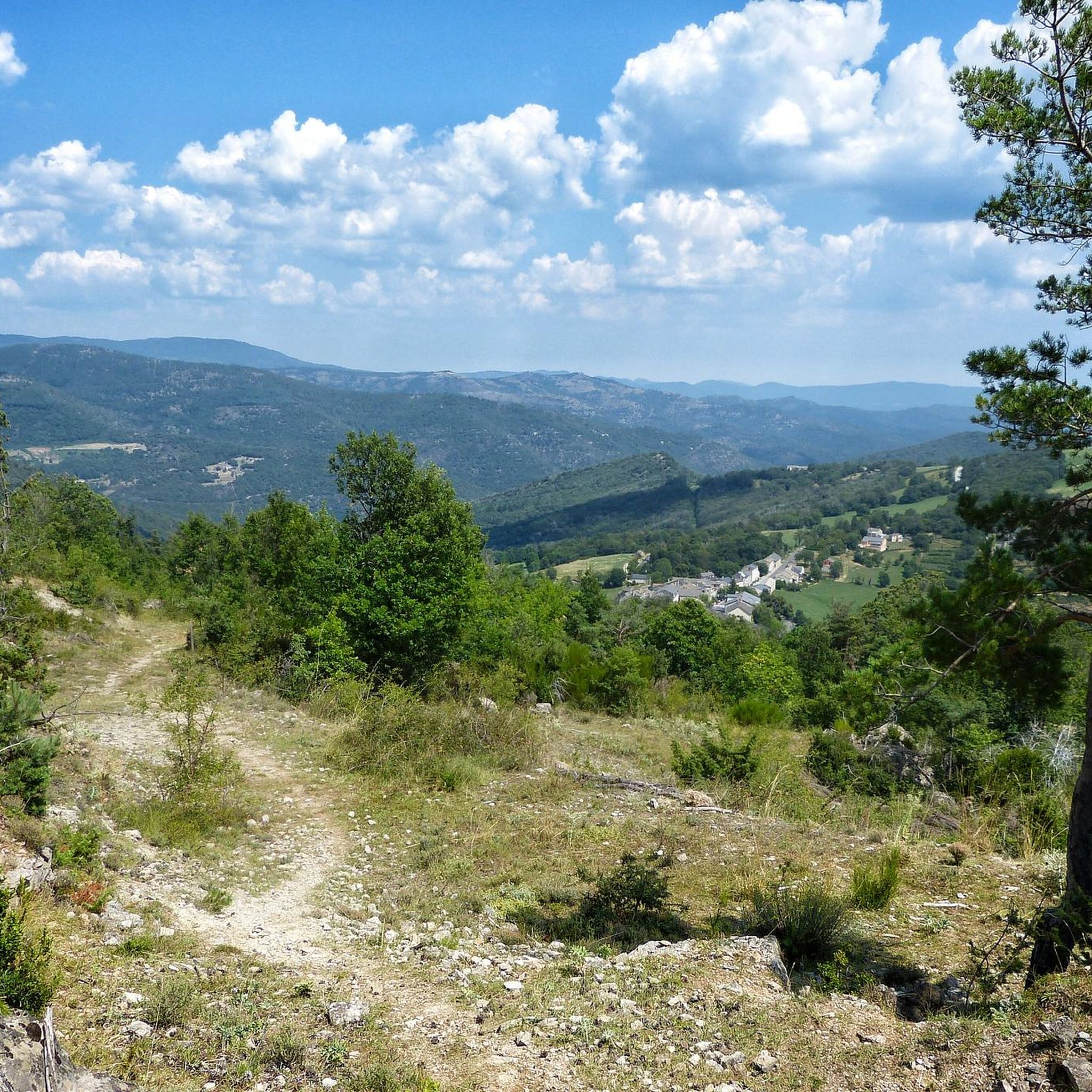
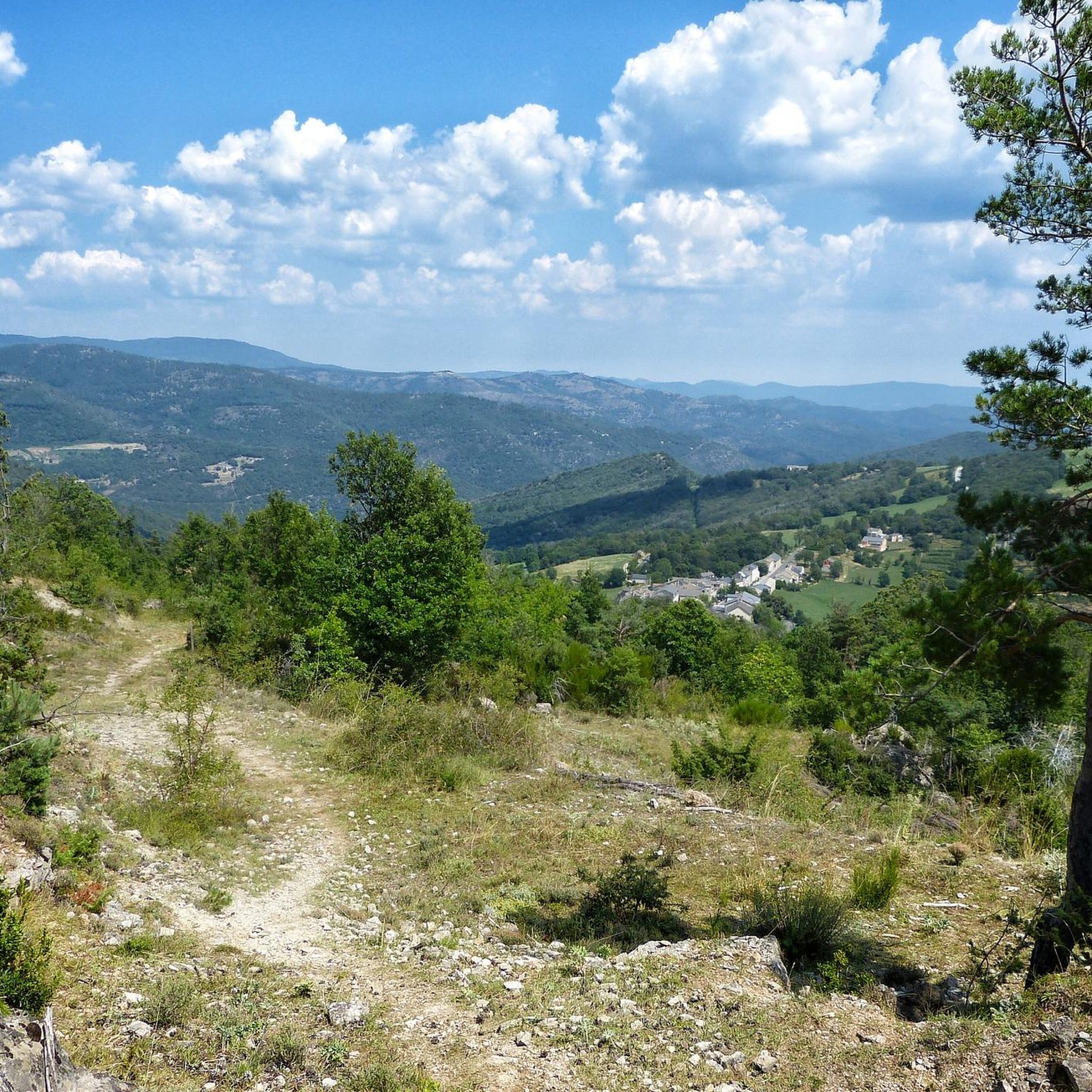
This village which is in the heart of the Cévennes national park is the ideal place to take a break. The fountain offers you good spring water, come and drink from it before walking along the main street of the village. The landscapes surrounding the town well represent the wild beauty of this Cévennes country.
0
0

Nice path allowing you to admire the Cévennes while climbing towards the Col de Tartabisac (at an altitude of 843m).
0
0
The Roc de Galta offers magnificent views of the Cévennes, from Mont Aigoual in the southwest to Mont Lozère in the north.
0
0
The Can de l'Hospitalet is a plateau separated from the Causse Méjean by the Tarnon. It offers magnificent views of the Cévennes. Its highest point, the Serre de Montgros, culminates at an altitude of 1,111m.
0
0

The Col des Marquises is 11km long with an elevation gain of 522m. The average gradient of the climb is 4.75% with maximum gradients of 6.5%.
1
0
This village which is in the heart of the Cévennes national park is the ideal place to take a break. The fountain offers you good spring water, come and drink there before walking down the main street of the village. The landscapes that surround the town represent the wild beauty of this Cévennes country.
2
0
The Chemin de Castellas takes you directly to the Trois Demoiselles natural site. It is a rock formation which dominates the village of Barres-des-Cévennes.
1
0
Frequently Asked Questions
How many running routes are available around Gabriac?
Gabriac offers a comprehensive network of over 20 running routes, primarily within the rugged terrain of the Cévennes National Park. These routes are well-suited for those seeking a challenging outdoor experience.
What is the general difficulty level of running trails in Gabriac?
The running trails in Gabriac are predominantly challenging, with 19 out of 23 routes classified as difficult. They feature significant elevation changes and dense woodlands, making them ideal for experienced runners looking for demanding mountain trails.
Are there any easier running options for beginners or those seeking a less strenuous jog?
While Gabriac is known for its challenging terrain, there is one easy route and three moderate routes available. These offer a less strenuous option compared to the majority of difficult trails, though runners should still be prepared for varied conditions within the Cévennes landscape.
Can I find circular running routes in Gabriac?
Yes, Gabriac features several excellent circular running routes. A popular choice is the Roc de Galta – trail loop starting from Serre de la Can – Cévennes National Park, which is a 3.5-mile (5.6 km) difficult loop offering an immersive experience within the national park.
What kind of scenery or landmarks can I expect to see while running in Gabriac?
Running in Gabriac offers dramatic elevations, dense forests, and expansive views of the Cévennes National Park. You can encounter natural monuments like La Can de l’Hospitalet or the Roc de Galta viewpoint, providing stunning vistas during your run.
Are there any specific viewpoints or natural monuments worth visiting along the trails?
Absolutely. Along the trails, you can discover several notable points of interest. Consider visiting the La Can de l’Hospitalet viewpoint or the impressive Roc de Galta. The Menhir at the Col de la Pierre Plantée also offers a unique landmark.
Is Gabriac a good destination for experienced runners looking for a challenge?
Yes, Gabriac is an excellent destination for experienced runners. The region is characterized by its challenging mountain trails, significant elevation changes, and dense forests, providing demanding running conditions that will test your fitness and endurance.
What do other runners say about the trails in Gabriac?
The running routes in Gabriac are highly rated by the komoot community, with an average score of 5.0 stars. Over 200 runners have explored the varied terrain, often praising the challenging nature and the immersive experience within the Cévennes National Park.
Are the running routes in Gabriac suitable for families?
Given the predominantly difficult nature of the trails and significant elevation changes, most running routes in Gabriac are better suited for experienced runners. There is only one easy route, so families with younger children or those seeking very gentle paths might find options limited.
Can I bring my dog on the running trails in Gabriac?
While the guide data does not explicitly state dog-friendly policies for each trail, the Cévennes National Park generally has regulations regarding dogs, often requiring them to be on a leash. It's advisable to check specific park rules or individual trail guidelines before bringing your dog.
How can I access the running trails, particularly regarding parking or public transport?
Specific details on parking and public transport for each trailhead are best found on the individual route pages on komoot. Many routes in the Cévennes National Park are accessible by car, with parking available at trailheads, but public transport options can be limited in this rugged region.
What is the best time of year to go running in Gabriac?
The Cévennes region can experience varied weather. Spring and autumn generally offer pleasant temperatures for running, with beautiful foliage. Summer can be warm, especially at lower elevations, while winter may bring colder conditions and potential snow in higher areas. Always check local weather forecasts before heading out.
Are there any longer distance running routes for endurance training?
Yes, Gabriac offers several longer routes suitable for endurance training. For example, the Bézuc Trail is a difficult 10.1-mile (16.3 km) path with significant elevation gain, and the Running loop from Le Pompidou covers 14.5 km (9 miles).
Where can I find places to rest or refuel near the running trails?
The Gabriac region, being part of the Cévennes National Park, is quite natural and rugged. While specific cafes or pubs directly on every trail are rare, you will find villages and small towns nearby, such as Barre-des-Cévennes or Saint-André-de-Valborgne, where you can find amenities for rest and refueling.
Most popular attractions around Gabriac

Get inspired with the komoot mobile app


Explore more
Browse the best Running Trails & Routes in other regions.
