The best road cycling routes around Poilley
4.4
(94)
2,229
riders
264
rides
Road cycling routes around Poilley, located in Normandy near the Bay of Mont-Saint-Michel, offer diverse terrain for cyclists. The region features a mix of coastal plains, river valleys, and rolling countryside, characteristic of the "bocage Normand." Cyclists can find routes along the Sélune and Couesnon rivers, through wooded areas, and near the iconic Mont-Saint-Michel. The elevation profiles vary, providing options from flat sections to moderate climbs.
Best road cycling routes around Poilley
- The most popular road cycling route is Sélune…
Last updated: July 5, 2026
3.6
(5)
67
riders
51.6km
02:24
330m
330m
Moderate road ride. Good fitness required. Some segments of this route may be unpaved and difficult to ride.
35
riders
66.8km
03:10
440m
440m
Moderate road ride. Good fitness required. Some segments of this route may be unpaved and difficult to ride.

Sign up for free
16
riders
Moderate road ride. Good fitness required. Some segments of this route may be unpaved and difficult to ride.
5.0
(2)
8
riders
47.5km
02:07
500m
500m
Moderate road ride. Good fitness required. Mostly well-paved surfaces and easy to ride.
5.0
(1)
8
riders
Easy road ride. Great for any fitness level. Mostly well-paved surfaces and easy to ride.
Get access to more routes and recommendations from other explorers.
Sign up for free
Already have an account?
Our route recommendations are based on thousands of hikes, rides, and runs completed by other people on komoot.
Start today with a free account
Your next adventure awaits.
Login or Signup

Tips from the Community

From there it looks the strongest !!!
1
0

Parts of the route along the sea do not exist or are forbidden for bicycles
0
0

Old priory attached to Mont Saint Michel, the ultimate stage for pilgrims before the Merveille.
0
0

If there's a remarkable site that's worth a detour, it's Mont St Michel!
1
0

During very high tides, your wheels may be in the water.
0
0

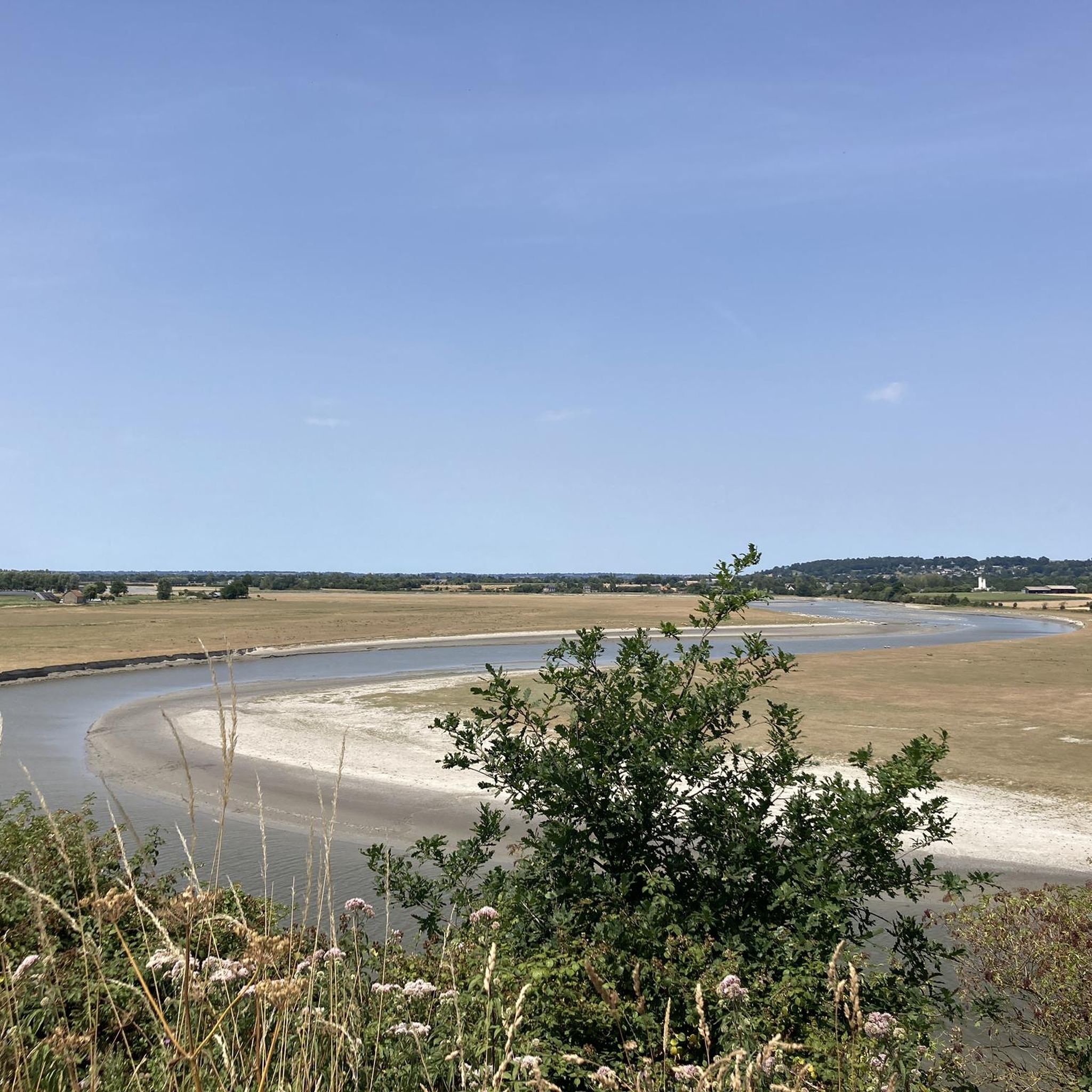
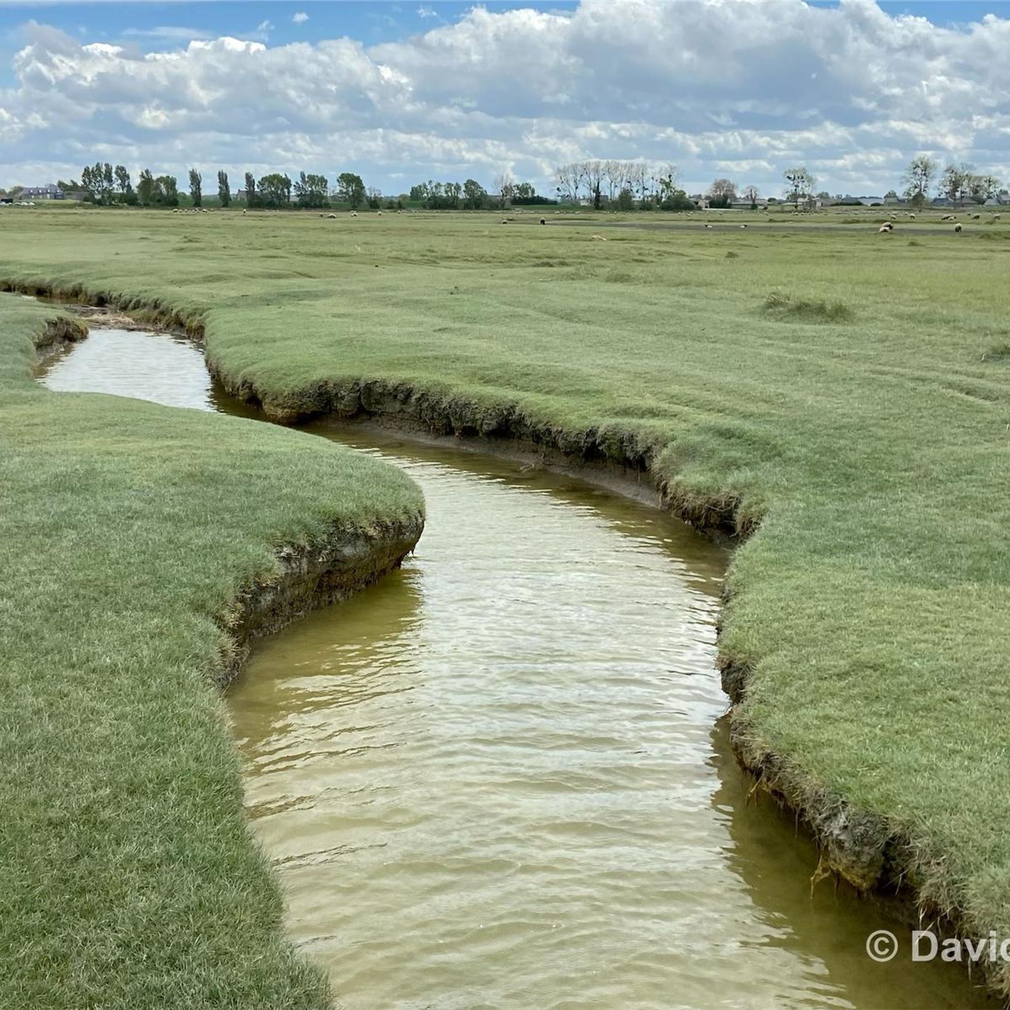
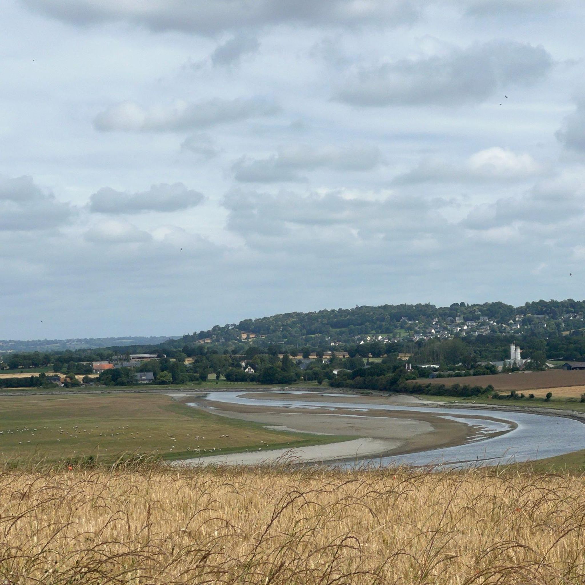
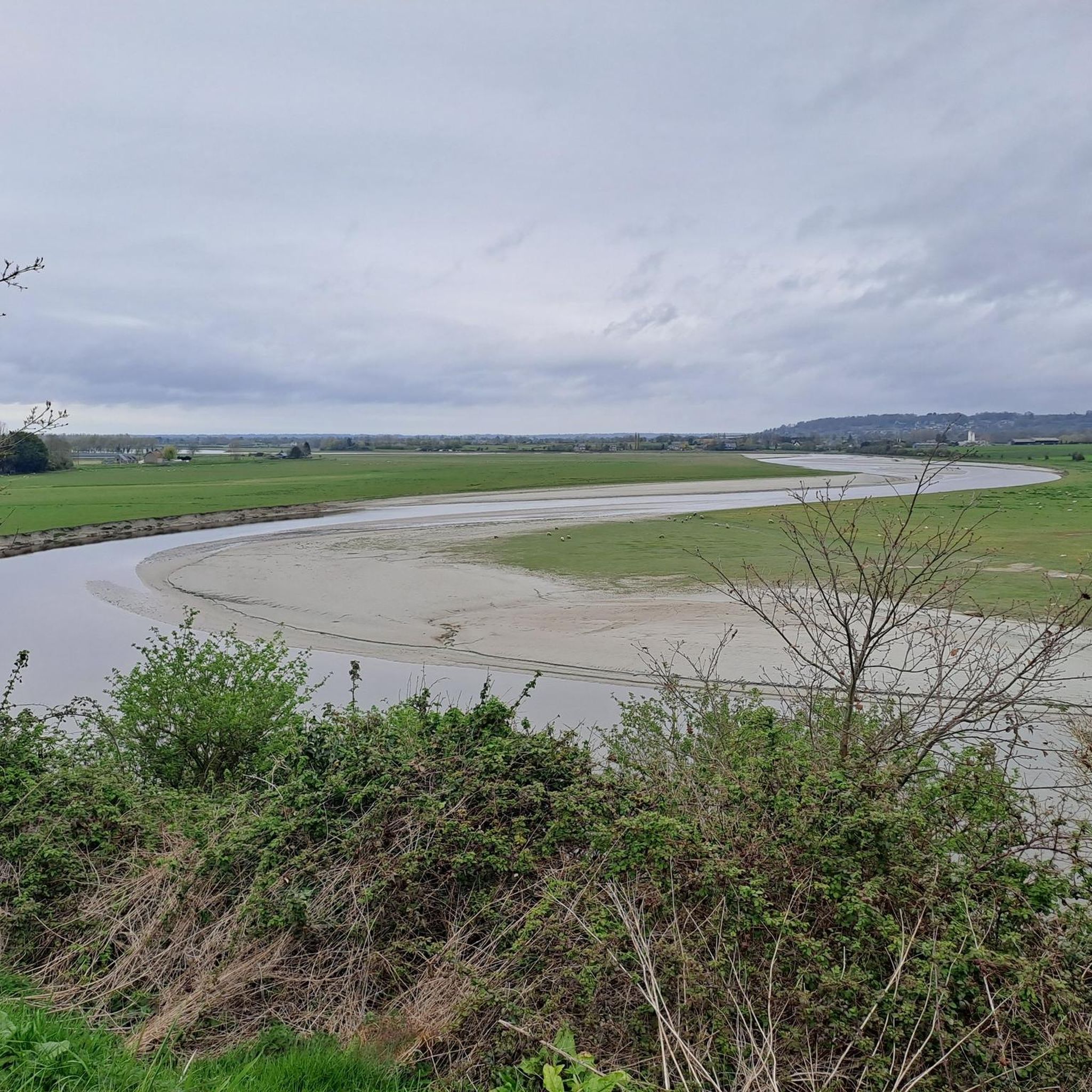
From this point, you have a panoramic view of the Bay of Mont Saint-Michel, including: 1/ Mont Saint-Michel itself in the distance, majestic on its rocky island, and 2/ the vast salt marshes ("herbus") and mudflats, which change dramatically depending on the tide.
1
0

A must-see with the miller as your guide
0
0
Frequently Asked Questions
What kind of terrain can I expect when road cycling around Poilley?
Road cycling around Poilley offers a diverse mix of landscapes. You'll find coastal plains near the Bay of Mont-Saint-Michel, scenic river valleys along the Sélune and Couesnon, and the characteristic rolling countryside of the "bocage Normand." There are also tranquil, shaded routes through wooded areas, providing varied scenery and challenges.
Are there road cycling routes suitable for beginners in Poilley?
Yes, Poilley offers routes suitable for various skill levels, including easy options. For instance, the Gilbert Bridge over the Sée – View of Mont Saint-Michel loop from Saint-Quentin-sur-le-Homme is an easy 27.6 km (17.1 miles) route, perfect for a more relaxed ride. The region also features "voies vertes" (greenways) which are traffic-free and offer smooth, easy cycling.
Can I find circular road cycling routes around Poilley?
Yes, many road cycling routes around Poilley are designed as loops. For example, the Sélune Riverbank – The dam on the Couesnon loop from Pontaubault is a popular moderate 65.3 km (40.6 miles) circular route. Another option is the Ducey – Voie verte de la Véloscénie loop from Ducey-les-Chéris, a 49.1 km (30.5 miles) loop that takes you along a greenway.
What are the best viewpoints along the road cycling routes near Poilley?
The region boasts several stunning viewpoints. Many routes offer expansive views towards the iconic Mont-Saint-Michel, such as the Sélune Riverbank – View of Mont Saint-Michel loop from Ancienne Abbaye de Montmorel. Other notable viewpoints include Grouin du Sud and La Roche Torin, offering picturesque vistas of the bay and surrounding landscapes.
Are there any natural features or landmarks to explore while cycling in Poilley?
Absolutely. The area is rich in natural beauty and historical landmarks. You can cycle along the Banks of the Sélune at Pontaubault or explore the Sélune Estuary. Historical sites like Pontaubault Bridge and Montgommery Castle are also accessible, adding cultural interest to your ride.
What do other road cyclists say about the routes in Poilley?
The road cycling routes in Poilley are highly regarded by the komoot community, with an average rating of 4.4 stars from over 80 reviews. Cyclists often praise the diverse scenery, from coastal views of Mont-Saint-Michel to tranquil river valleys, and the variety of routes catering to different ability levels.
How many road cycling routes are available around Poilley?
There are over 260 road cycling routes available around Poilley. This includes a wide range of options, with approximately 27 easy routes, 199 moderate routes, and 34 difficult routes, ensuring there's something for every cyclist.
Are there any challenging road cycling routes with significant elevation gains near Poilley?
Yes, while many routes offer moderate terrain, some longer loops feature more significant elevation gains. For example, the Ducey – La Grande Cascade de Mortain loop from Ducey-les-Chéris, a 68 km (42.2 miles) route, includes over 700 meters of elevation gain, providing a good challenge for experienced cyclists.
What is the best time of year to go road cycling in Poilley?
The region's climate makes spring through early autumn generally ideal for road cycling. During these seasons, you can enjoy pleasant temperatures and the full beauty of the landscapes, from the coastal areas to the rolling countryside and forests. Always check local weather forecasts before heading out.
Are there any specific greenways or traffic-free paths for road cycling in the area?
Yes, the region is home to "voies vertes" (greenways), which are excellent for traffic-free road cycling. A notable example is the Voie verte de la Véloscénie, which offers smooth, easy rides often following river valleys. The Ducey – Voie verte de la Véloscénie loop from Ducey-les-Chéris is a great way to experience this type of path.
Can I combine road cycling with cultural exploration in Poilley?
Absolutely. Poilley's proximity to iconic sites like Mont-Saint-Michel means you can easily integrate cultural exploration into your rides. Many routes offer views of the abbey, and you can cycle to charming nearby towns such as Dol-de-Bretagne or Ducey, which provide opportunities for rest stops and cultural immersion.
Most popular attractions around Poilley

Get inspired with the komoot mobile app


Explore more
Browse the best Road cycling routes in other regions.
