Saint-Pierre-D'Argençon
Saint-Pierre-D'Argençon
The best cycling routes around Saint-Pierre-D'Argençon
4.4
(108)
1,535
riders
75
rides
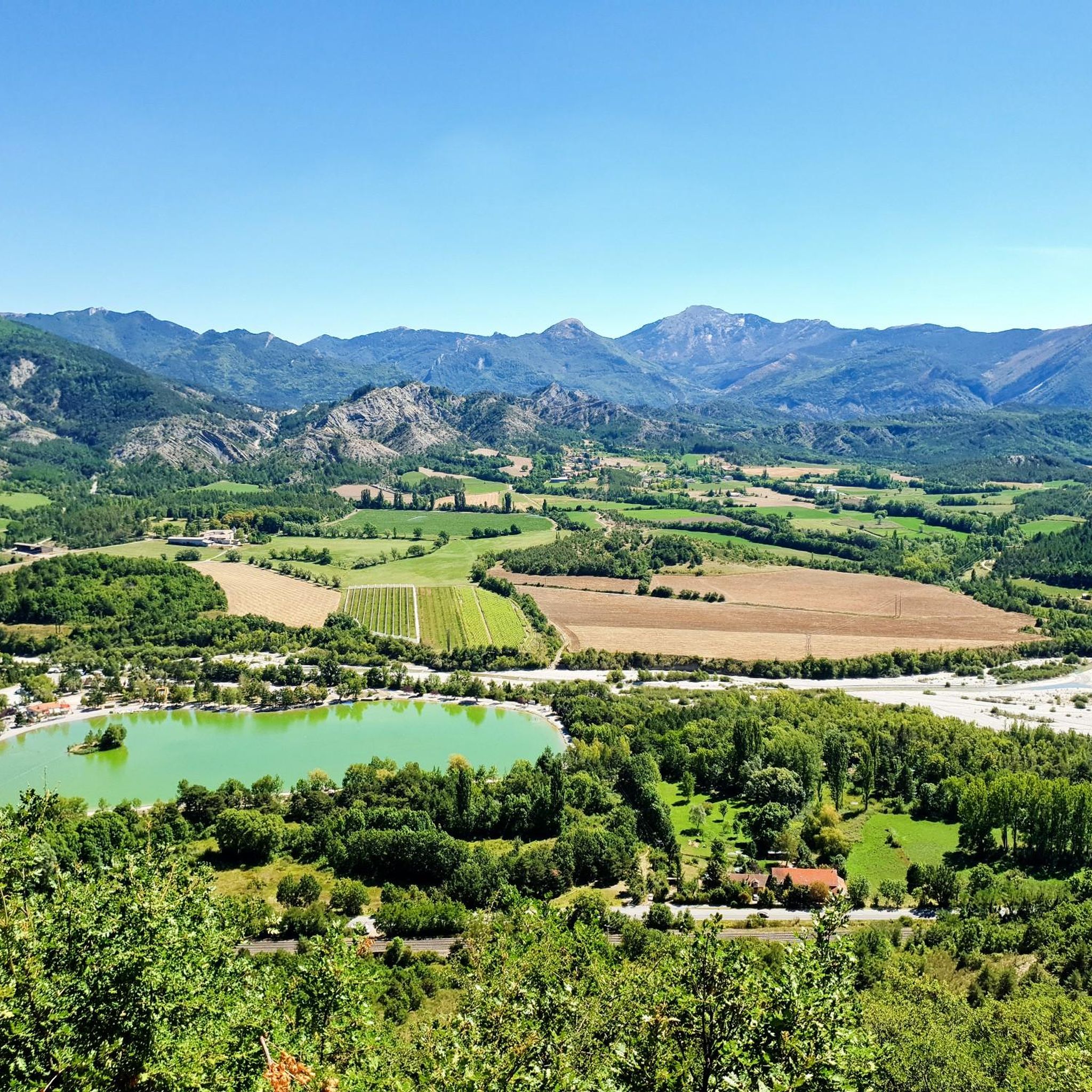
Touring cycling routes around Saint-Pierre-D'Argençon are set amidst a diverse landscape, bridging the foothills of the Alps and the Provençal region. This area features a mix of mountainous terrain with winding roads and valleys along the Drôme River. The region is characterized by varied elevations, from lower river plains to more challenging ascents in the surrounding mountains, offering a range of experiences for cyclists.
Best touring cycling routes around Saint-Pierre-D'Argençon
- The most popular touring cycling route is Hameau de Saint-Marcellin…
Last updated: July 8, 2026
4.0
(2)
67
riders
50.4km
03:21
740m
740m
Hard bike ride. Very good fitness required. Mostly paved surfaces. Suitable for all skill levels.
4.3
(7)
41
riders
70.2km
04:23
760m
760m
Hard bike ride. Very good fitness required. Mostly paved surfaces. Suitable for all skill levels.

Sign up for free
5.0
(1)
22
riders
115km
07:50
2,010m
2,010m
Hard bike ride. Very good fitness required. Mostly paved surfaces. Suitable for all skill levels.
5.0
(1)
15
riders
Hard bike ride. Very good fitness required. Mostly paved surfaces. Suitable for all skill levels.
8
riders
30.9km
02:00
350m
340m
Moderate bike ride. Good fitness required. Mostly paved surfaces. Suitable for all skill levels.
Get access to more routes and recommendations from other explorers.
Sign up for free
Already have an account?
Our route recommendations are based on thousands of hikes, rides, and runs completed by other people on komoot.
Start today with a free account
Your next adventure awaits.
Login or Signup




Tips from the Community

Viewpoint for taking photos
2
0
The cliffs of Falaises de Sigottier are located near the small village of Sigottier, in the Provence-Alpes-Côte d'Azur region.
14
0
Here you can take different paths
13
0
It is therefore a pass of modest dimensions, rather constant but at times challenging – typical of the area: short, secluded and scenic.
8
0
"Saint-Marcellin" is a common name for several small villages in France, but in the regions of Alpes-de-Haute-Provence and Hautes-Alpes (near you) it mainly indicates a typical mountain hamlet, present in municipalities such as Vars or Châteauroux-les-Alpes.
9
0
The view of Aujour (Montagne de l’Aujour) is one of the most spectacular panoramas in the area between the Alpes-de-Haute-Provence and the Sisteron area: a long limestone ridge that dominates valleys, hills and, on clear days, opens up to the Prealps and the Durance basin.
13
0
La Route de Sigottier is a road located in the Hautes-Alpes (05700), in the Provence-Alpes-Côte d'Azur region, within the municipality of Sigottier.
16
0
The stretch of road from La Faurie to Montbrand (Hautes-Alpes department, along the D28) is short, about 5-6 km, but very picturesque. It crosses the tranquil Aiguebelle valley, offering a typically alpine-Provençal landscape.
6
0
Frequently Asked Questions
How many touring cycling routes are available around Saint-Pierre-D'Argençon?
There are over 80 touring cycling routes in the Saint-Pierre-D'Argençon area. These routes offer a diverse range of experiences, from challenging mountain ascents to scenic rides through river valleys.
Are there any easy touring cycling routes for beginners or families?
Yes, while many routes are challenging, there are 8 easy touring cycling routes available. These typically follow gentler terrain, often along river plains, making them suitable for beginners or those seeking a more relaxed ride. The region's backroads and valleys along the Drôme River are ideal for such experiences.
What kind of terrain can I expect on touring cycling routes in this region?
The terrain around Saint-Pierre-D'Argençon offers a rich mix, bridging the foothills of the Alps and the Provençal region. You can expect mountainous landscapes with winding roads and significant elevation changes, as well as more gentle valleys along the Drôme River. This provides a diverse cycling experience, from challenging climbs to picturesque, rolling countryside.
Are there any circular touring cycling routes?
Yes, many routes in the area are designed as loops. For example, the difficult 50.4 km Hameau de Saint-Marcellin – Iscles Pond loop from Aspres-sur-Buëch offers varied terrain through the local countryside. Another option is the 70.2 km difficult Route de Sigottier – Montjay loop from Aspres-sur-Buëch, featuring scenic views and elevation changes.
What are some notable natural features or attractions I can see along the routes?
The region is rich in natural beauty. You might encounter highlights such as the Col de Carabès, offering panoramic views, or the tranquil Iscles Pond. The broader area also features dramatic landscapes like the Cirque d'Archiane and the iconic Mont Aiguille, and the Drôme River valley with its crystal-clear waters.
What is the best season for touring cycling in Saint-Pierre-D'Argençon?
Given the region's blend of Alpine and Provençal climates, spring and autumn are generally ideal. During these seasons, temperatures are pleasant, and the landscapes are vibrant with spring blooms or autumn colors. Summer can be warm, especially in the valleys, but higher altitude routes offer cooler conditions. Winter typically brings colder temperatures and snow to the higher passes.
What do other touring cyclists say about the routes in Saint-Pierre-D'Argençon?
The touring cycling routes around Saint-Pierre-D'Argençon are highly rated by the komoot community, with an average score of 4.4 stars from around 90 reviews. Cyclists often praise the diverse scenery, the challenging ascents, and the opportunity to explore a region that beautifully blends Alpine and Provençal characteristics.
Are there any particularly challenging routes for experienced touring cyclists?
Yes, the area is well-suited for experienced cyclists seeking a challenge, with 52 routes rated as difficult. An example is the 115.2 km Route de Sigottier – Col des Tourette (1126 m) loop from Aspres-sur-Buëch, which leads through mountainous landscapes and includes a significant pass. Another demanding option is the 83.5 km Col de Carabès – Gravel along the river loop from La Beaume.
Can I find routes that offer a mix of gravel and paved roads?
Yes, the region's diverse terrain, including backroads and river paths, means you can find routes that incorporate both paved sections and gravel. The Col de Carabès – Gravel along the river loop from La Beaume is an example of a route that specifically mentions gravel sections, offering a varied surface experience.
Are there opportunities to explore local culture and villages along the cycling routes?
Absolutely. The Drôme Provençale region is known for its sleepy hamlets, medieval villages, and bustling farmers' markets. Cycling through this area allows you to immerse yourself in local culture, discover charming towns like Serres, and experience the unique blend of Alpine and Provençal life.
What is the longest touring cycling route available?
One of the longest and most challenging routes is the 115.2 km Route de Sigottier – Col des Tourette (1126 m) loop from Aspres-sur-Buëch. This difficult trail takes approximately 7 hours and 51 minutes to complete, offering extensive exploration of the mountainous landscapes.
Are there any routes that pass by significant mountain passes?
Yes, the region is characterized by mountainous terrain and winding roads. The Route de Sigottier – Col des Tourette (1126 m) loop from Aspres-sur-Buëch specifically includes the Col des Tourette. The wider Hautes-Alpes department, accessible from Saint-Pierre-D'Argençon, is also home to renowned passes like Col du Galibier, Col d'Izoard, and Cime de la Bonette, offering epic cycling challenges.
Most popular routes around Saint-Pierre-D'Argençon
Most popular attractions around Saint-Pierre-D'Argençon

Get inspired with the komoot mobile app


Explore more
Browse the best Cycling routes in other regions.
