The best walks and hikes around Cuiry-Lès-Chaudardes
4.4
(355)
1,492
hikers
75
hikes
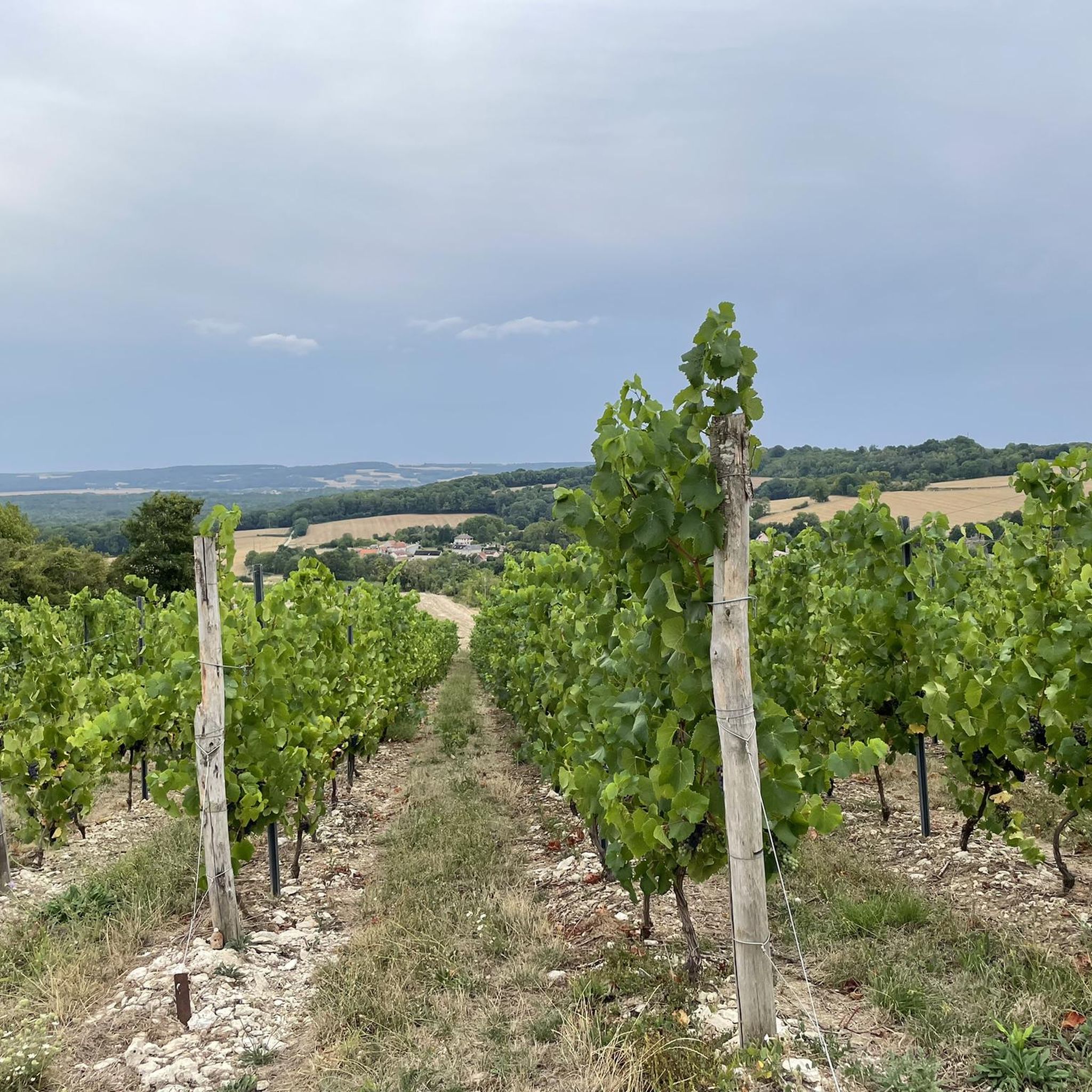
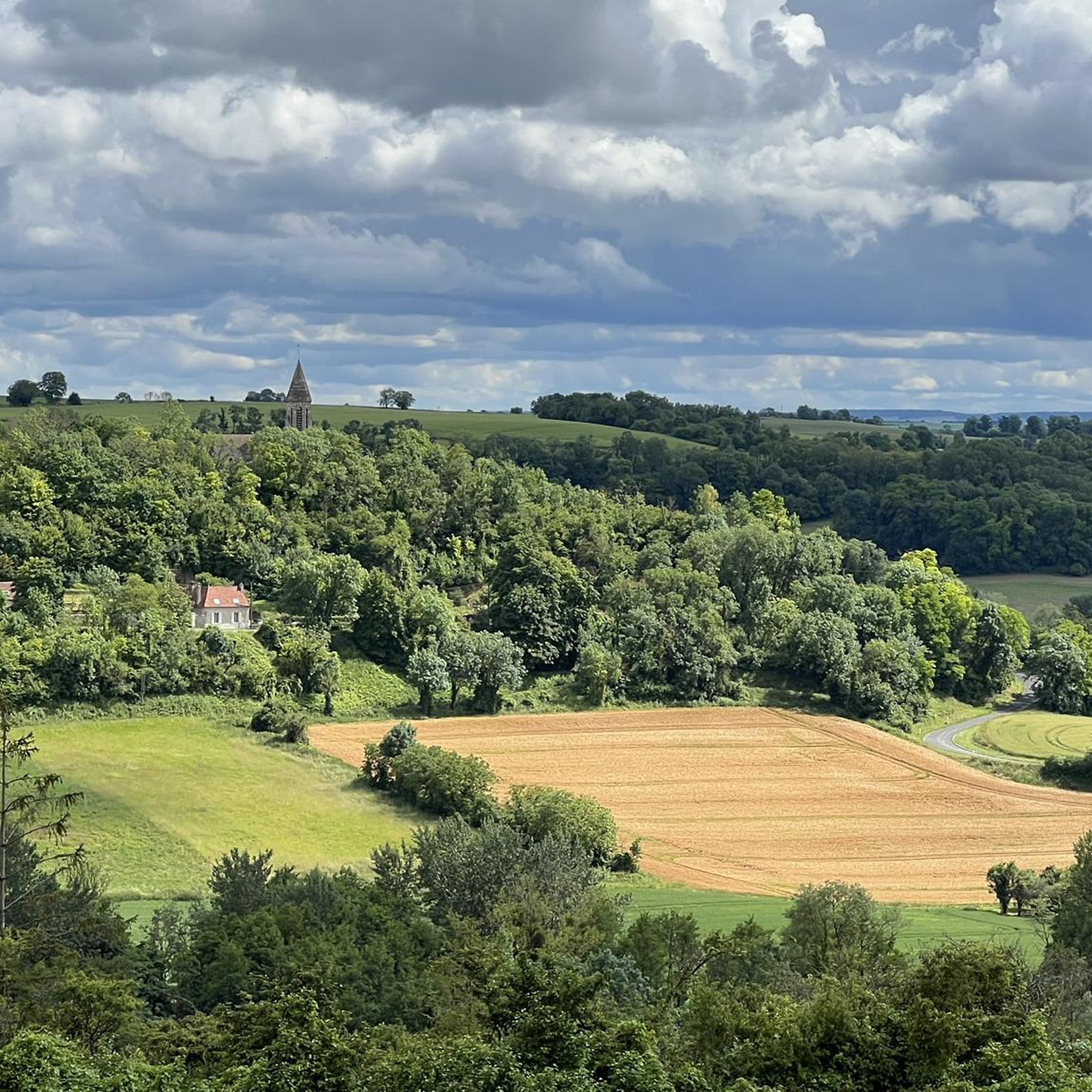
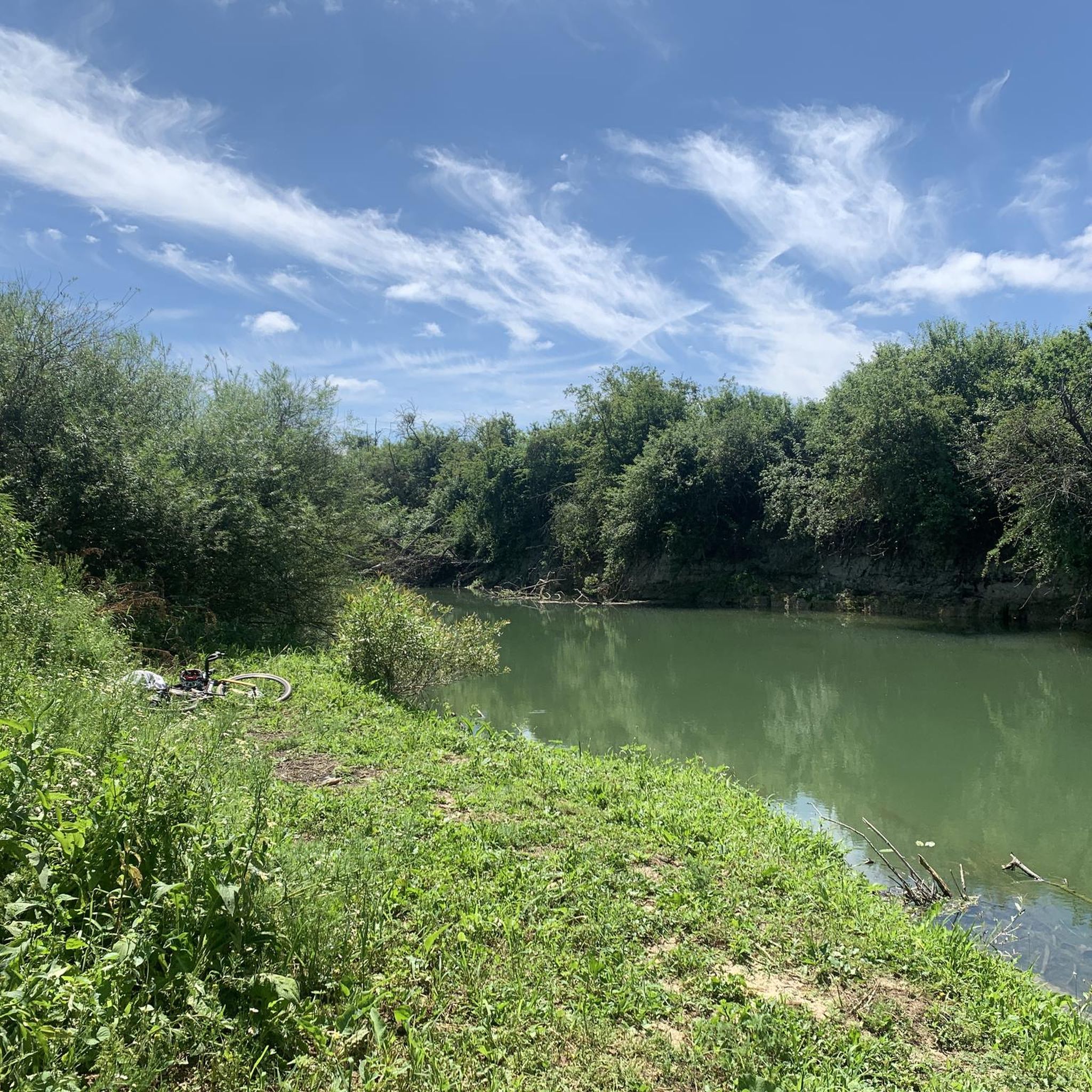
Hiking around Cuiry-Lès-Chaudardes offers exploration of a landscape shaped by the Aisne river, featuring gravel terraces and visible paleochannels. The area is known for its Early Neolithic archaeological site, providing a historical context to outdoor activities. Surrounding the village, hikers can find diverse terrain including historical plateaus and remnants of monastic forests. This region provides opportunities to combine walks with cultural and historical exploration.
Best hiking trails around Cuiry-Lès-Chaudardes
- The most popular hiking route is Craonne and California Plateau Loop…
Last updated: October 8, 2026
3.7
(6)
33
hikers
12.0km
03:12
130m
120m
Moderate hike. Good fitness required. Mostly accessible paths. Sure-footedness required.
4.3
(12)
61
hikers
14.5km
03:55
200m
200m
Moderate hike. Good fitness required. Easily-accessible paths. Suitable for all skill levels.

4.6
(8)
31
hikers
17.4km
04:44
250m
250m
Moderate hike. Good fitness required. Easily-accessible paths. Suitable for all skill levels.
5.0
(2)
21
hikers
2.41km
00:38
20m
20m
Easy hike. Great for any fitness level. Easily-accessible paths. Suitable for all skill levels.
4
hikers
3.16km
00:53
60m
60m
Easy hike. Great for any fitness level. Easily-accessible paths. Suitable for all skill levels.
Get access to more routes and recommendations from other explorers.
Already have an account?
Our route recommendations are based on thousands of hikes, rides, and runs completed by other people on komoot.
Start today with a free account
Your next adventure awaits.

Tips from the Community

The Vauclair Abbey near Bouconville-Vauclair in the Aisne department was founded in 1134 by Bernard of Clairvaux as a Cistercian monastery. In the Middle Ages, it developed into an important monastic complex; it was significantly expanded, particularly in the 13th century. During the First World War, Vauclair was located directly in the combat zone of the Chemin des Dames and was almost completely destroyed by artillery fire in 1917. The ruins visible today have been archaeologically investigated, excavated, and partially secured since the 1960s. Directly next to the ruins, there is now a medicinal herb garden with around 400 species and a conservation orchard. This verger conservatoire preserves old regional apple and pear varieties; according to the French Garden Association, there are about 84 different varieties represented there. Together with the monastery ruins, the site thus commemorates not only the history of the Cistercians but also their close connection to agriculture, horticulture, and botany.
1
0

Hidden in the middle of the forest, this Cistercian abbey, founded in 1134 by Bernard of Clairvaux, appears like a mirage. Its majestic ruins bear witness to a turbulent past. From the Hundred Years' War and the French Revolution to the First World War, the abbey suffered considerable destruction. In the 1960s, the site was overgrown with brambles and forgotten. Thanks to the archaeological excavation group "Sources" led by Father Courtois, it experienced a rebirth.
2
0
The observation tower, inaugurated on April 16, 2013, overlooks the Plateau de Californie, a strategic site of the battles of the Chemin des Dames. The 20-meter-high, freely accessible tower offers a historical insight into the landscape and recalls the importance of the heights during the war. It also offers visitors who climb it an unparalleled view of the village of Craonne below, but also of the Chemin des Dames and the Champagne plain... The observation tower is topped with a blue beacon that is activated at night, thus forming a monument in the landscape. During the day, it allows one to survey the plain of Reims, while at night, conversely, it is visible from this plain. The structure of the tower consists of a spatially modular wooden Mikado, whose arrangement has been chosen according to the configuration of the terrain and the orientation of the viewpoints. The dimensions of the steps and handrails facilitate the climb and mitigate the feeling of vertigo that may arise. For this structure built amidst trees, wood was the obvious material. Renewable materials were selected: glued laminated timber from pine for the long supports, posts and beams from larch, larch wood for the steps, and tropical woods (Massaranduba, Cumaru, Ipé, Doussié…) for the platforms and railings. These woods, originating from French Guiana, are certified and their extraction is controlled. Source and further information: https://www.chemindesdames.fr/
1
0
The Plateau de Californie in the heart of the Chemin des Dames is, like Verdun, a symbolic site of the First World War. However, while Verdun was quickly elevated to a national symbol of victory, the Plateau de Californie and the Chemin des Dames were long associated with the bitter failure of the Nivelle Offensive in April 1917, the subsequent mutinies, and the collapse in the summer of 1918, and were subjected to a process of exclusion, forgetting, and repression after the First World War. Before 1914, the Plateau de Californie, above the former village of Craonne, was a place for walks and recreation. After the war, pine trees were planted on the plateau, classified as a "red zone", as the land could no longer be cultivated. Today's visitors can follow the marked paths, discovering remnants of trenches and shell craters. Thematic information panels on the First World War, reading panels, and panoramic views of the Aisne valley now line the plateau along this marked hiking trail. Source: https://www.chemindesdames.fr
1
0

Beautiful quiet place for a walk
0
0

This stone statue of Napoleon I , sculpted by Georges Thurotte in 1974, commemorates the victory of the French armies at Craonne against the Russian and Prussian armies of General Blücher on March 7, 1814 . It was built on the site of the Vauclair mill which served as an observation post during this battle...
0
0
Inaugurated on April 16, 2013, the observation tower overlooks the Plateau de Californie, a strategic location during the war on the Chemin des Dames. Standing at a height of 20 meters and freely accessible, it offers a historical perspective on the landscapes and serves as a reminder of the importance of high points during the war. It also offers visitors who climb it an incomparable view of the village of Craonne below, as well as the Chemin des Dames and the Champagne plain. Equipped at its summit with a blue lighthouse, put into operation at night, the observation tower constitutes a beacon of memory in the landscape. Allowing a view of the plain of Reims during the day, it is, in a reverse movement, visible at night from this plain.
0
0
This stone statue of Napoleon I, sculpted by Georges THUROTTE, commemorates the victory of the French armies at Craonne against the Russian and Prussian armies of General Blücher on March 7, 1814, which left 12,000 dead (7,000 French and 5,000 Russians, whose mass graves were scattered during the fighting of the First World War. Placed high on a mound and built on the former site of the Moulin de Vauclerc, which served as an observatory for the emperor, the limestone statue represents the Emperor scanning the horizon in a dignified position.
0
0
Frequently Asked Questions
How many hiking trails are available around Cuiry-Lès-Chaudardes?
There are nearly 70 hiking routes around Cuiry-Lès-Chaudardes. These trails offer a diverse range of experiences, from easy strolls along the Aisne river to more challenging treks through historical landscapes.
Are there easy hikes suitable for beginners or families with children?
Yes, you'll find plenty of easy options. Out of the nearly 70 routes, 26 are classified as easy, making them perfect for beginners or families. A good example is the Paissy Troglodyte Village loop from Paissy, which is a shorter, accessible walk.
Can I find circular walks in the Cuiry-Lès-Chaudardes area?
Many of the trails around Cuiry-Lès-Chaudardes are circular, allowing you to start and end at the same point. For instance, the popular Craonne and California Plateau Loop is a great circular option offering historical views.
What historical sites can I explore while hiking in this region?
The region is rich in history. You can hike to the poignant Vauclair Abbey Ruins, a site heavily damaged during WWI, or visit the Ferme d'Hurtebise War Memorial on the Chemin des Dames plateau. Another notable landmark is the Napoleon Statue in Craonne, which can be incorporated into a hike like the Monument Napoléon – California Plateau loop from Craonne.
Are there any natural points of interest to see on the trails?
Yes, beyond the historical sites, you can discover tranquil natural spots. The Monks' Pond is a beautiful natural feature, perfect for a peaceful walk, and is part of routes such as the Vauclair Abbey Ruins – Monks' Pond loop from Craonne. The landscape itself, shaped by the Aisne river, offers scenic views of gravel terraces and paleochannels.
What do other hikers say about the trails around Cuiry-Lès-Chaudardes?
The trails are highly regarded by the komoot community, holding an average rating of 4.4 stars from over 260 reviews. More than 1,100 hikers have explored the varied terrain, often praising the combination of historical interest and natural beauty.
Are the hiking trails in Cuiry-Lès-Chaudardes dog-friendly?
While specific restrictions can vary by individual trail or protected area, many of the paths through the natural and historical landscapes around Cuiry-Lès-Chaudardes are generally suitable for dogs, especially if kept on a leash. It's always advisable to check local signage for any specific rules.
What is the best time of year to go hiking in this region?
The spring and autumn months are generally ideal for hiking around Cuiry-Lès-Chaudardes, offering pleasant temperatures and beautiful scenery. Spring brings blooming flora, while autumn showcases vibrant foliage. Summer can also be enjoyable, though it's best to start early to avoid the midday heat. Winter hikes are possible, but some paths might be muddy or require appropriate gear.
Are there any hikes that offer unique cultural experiences?
Absolutely. The Troglodyte Village of Paissy – Paissy Troglodyte Village loop from Paissy offers a truly unique cultural experience, leading you through an ancient troglodyte village carved into the rock, providing a fascinating glimpse into historical dwellings.
What are the general difficulty levels of hikes in the area?
The hiking network around Cuiry-Lès-Chaudardes caters to various fitness levels. You'll find a good mix of easy (26 routes), moderate (40 routes), and a few more difficult (2 routes) trails, ensuring there's something for everyone, from a leisurely walk to a more strenuous adventure.
Are there any viewpoints along the trails offering scenic panoramas?
Many routes, particularly those traversing the historical plateaus like the California Plateau, offer elevated positions that provide scenic views over the surrounding landscape. These spots often combine historical significance with expansive vistas.
Most popular routes around Cuiry-Lès-Chaudardes
Most popular attractions around Cuiry-Lès-Chaudardes

Get inspired with the komoot mobile app


Explore more
Browse the best Hikes in other regions.
