The best walks and hikes around Auswil
4.6
(744)
3,488
hikers
298
hikes
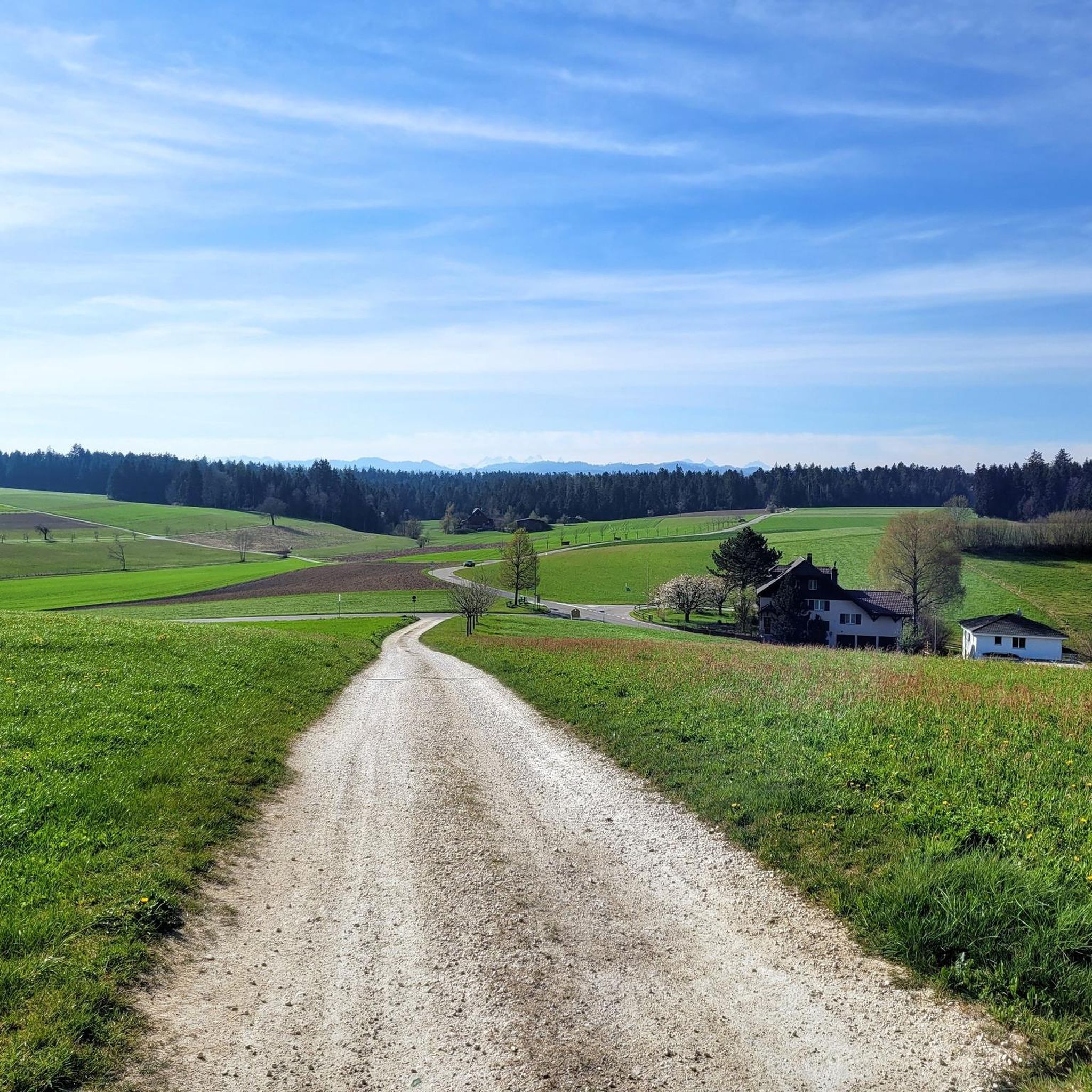
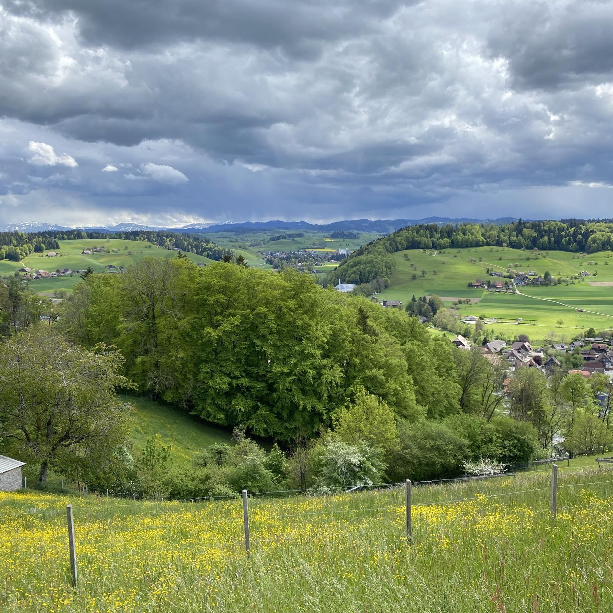
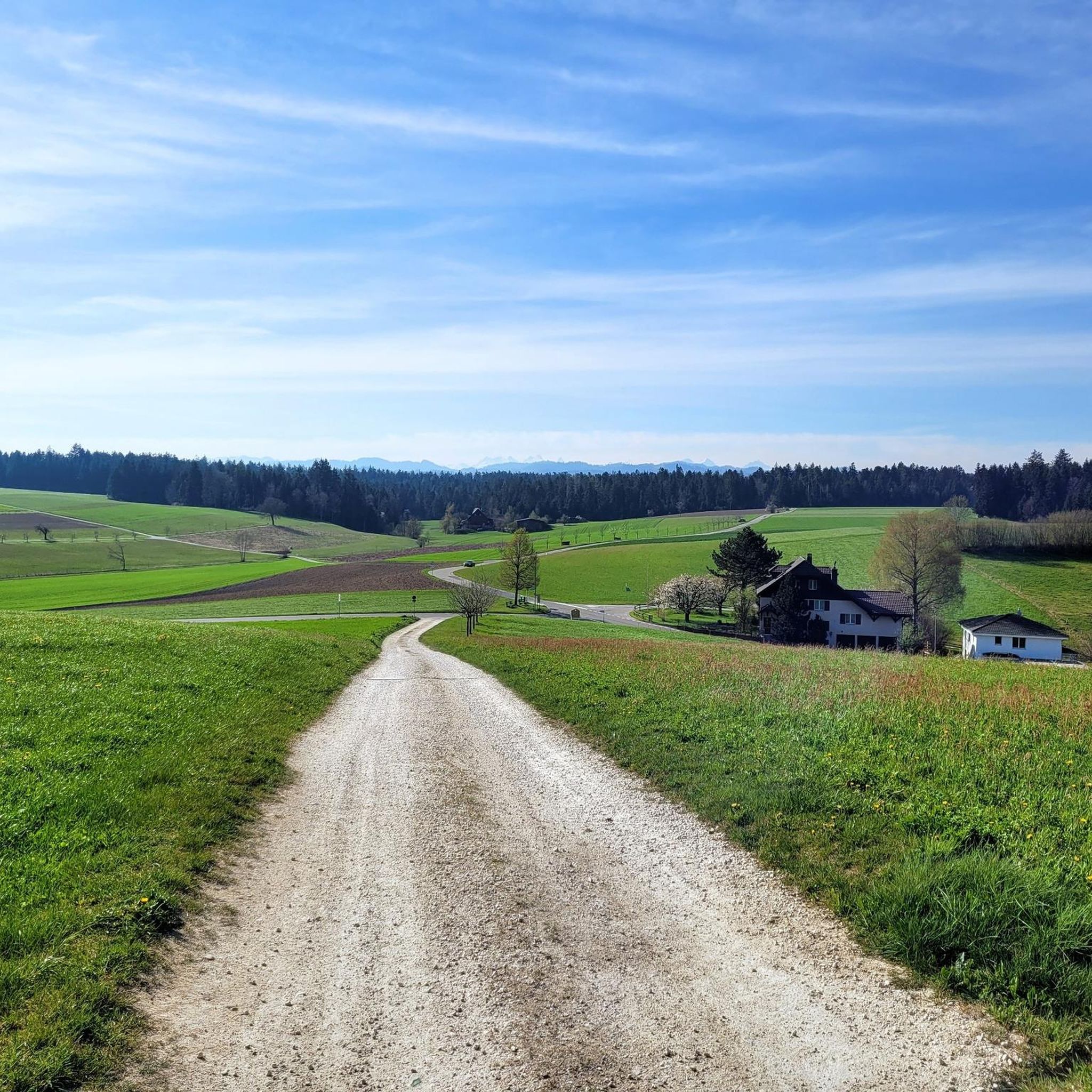
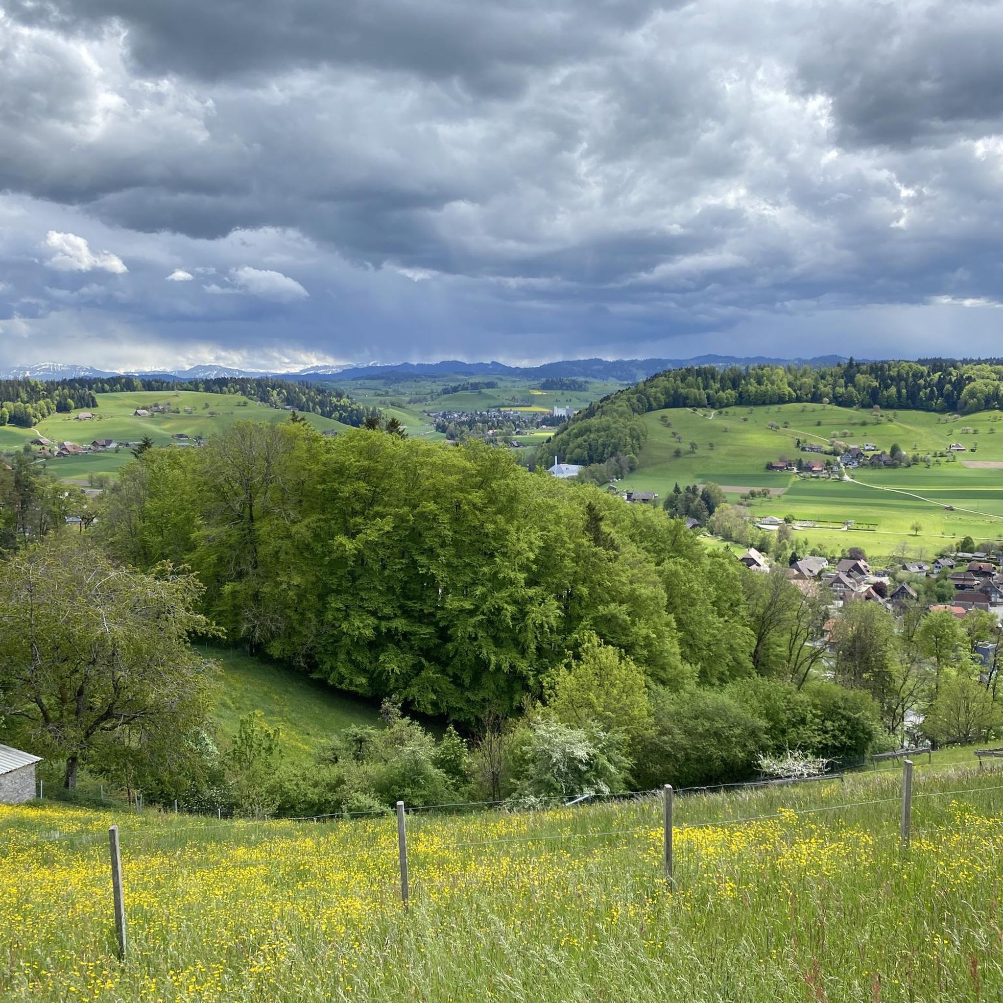
Hiking around Auswil offers access to a landscape characterized by rolling hills, extensive forests, and agricultural land in Switzerland's Oberaargau region. The area features varied elevation changes, with Auswil itself situated at approximately 650 to 673 meters above sea level. This combination provides diverse scenery, moving between open fields and shaded woodlands. The region's terrain is well-suited for a range of hiking experiences.
Best hiking trails around Auswil
- The most popular hiking route is Rural Landscapes Around Huttwil loop from…
Last updated: August 20, 2026
5
hikers
4.18km
01:06
40m
40m
Easy hike. Great for any fitness level. Easily-accessible paths. Suitable for all skill levels.
4.5
(2)
9
hikers
5.34km
01:26
70m
70m
Easy hike. Great for any fitness level. Easily-accessible paths. Suitable for all skill levels.

Sign up for free
4.5
(2)
9
hikers
6.64km
01:46
80m
80m
Easy hike. Great for any fitness level. Easily-accessible paths. Suitable for all skill levels.
4.3
(3)
5
hikers
7.19km
01:59
110m
110m
Easy hike. Great for any fitness level. Easily-accessible paths. Suitable for all skill levels.
5.0
(1)
8
hikers
9.31km
02:29
100m
100m
Moderate hike. Good fitness required. Easily-accessible paths. Suitable for all skill levels.
Get access to more routes and recommendations from other explorers.
Sign up for free
Already have an account?
Our route recommendations are based on thousands of hikes, rides, and runs completed by other people on komoot.
Start today with a free account
Your next adventure awaits.
Login or Signup
Tips from the Community

The toilet is located next to the main building.
0
0

Huttwil is approximately 16 km from Langenthal, 16 km from Sumiswald, and 25 km from Sursee via cantonal roads. Huttwil is located far from highways, which reduces the town's attractiveness as a location. The nearest highway exits are relatively far away: Sursee (25 km), Dagmersellen (20 km), Niederbipp (25 km), and Kirchberg (25 km). The major German-speaking Swiss cities of Bern, Lucerne, Zurich, and Basel are all approximately the same distance away; the journey time to Lucerne and Bern is approximately 45 minutes, and to Basel and Zurich approximately 60 minutes. Huttwil train station today Huttwil train station today The railway has a long tradition in Huttwil. For decades, the Vereinigte Huttwil-Bahnen (VHB) had its headquarters in Huttwil. These railway lines are now operated by BLS AG. Huttwil is a station on the Langenthal–Willisau–Wolhusen–Lucerne railway line. Until 2006, Huttwil was a terminus of the Bern S-Bahn. Since then, this line from Bern has only operated as far as Sumiswald station, with the final section to Huttwil (approximately 12 km) served by buses. This cut Huttwil off from the Bern S-Bahn line and from direct connections to the federal capital. Instead, the connection from Langenthal via Huttwil and Wolhusen is directly connected to the cantonal capital of Lucerne. Since the introduction of the Lucerne S-Bahn (December 12, 2004), the S6 has run hourly directly to Lucerne. Since 2009, the private cooperative Museumsbahn Emmental has operated a charter and excursion service, partly with historic rolling stock, on the line between Huttwil and Sumiswald, which has since been closed. In addition, the line is used for testing and certification runs of new rolling stock and new components by various companies and railway companies. After a construction period of two and a half years, BLS opened the modernized Huttwil station with an official inauguration ceremony. The station, which was in need of renovation and dates back to the late 1950s, has been transformed into an attractive station. BLS has invested a total of around 50 million Swiss francs in the station modernization.[9]
1
0

Excellent vantage point to view Rohrbach and surrounding towns
0
0

But be careful, you will make yourself very unpopular in Huttwil if you come with Dorf. little town, will be much better received.
0
1

There are various catering options in Huttwil.
0
0

The Christmas market in December is particularly worth a visit. The village has a small beautiful and old core. Incidentally, the Flyer e-bikes are produced in Huttwil.
1
0
The old mill has a long history, which is documented in a small museum.
0
0
Frequently Asked Questions
How many hiking trails are available around Auswil?
The Auswil region offers a wide variety of hiking experiences, with over 300 trails recorded on komoot. This includes a good mix of easy, moderate, and some more difficult routes to explore the diverse landscape.
What kind of terrain can I expect on hikes near Auswil?
Hikes around Auswil feature a characteristic Swiss landscape of rolling hills, extensive forested areas, and picturesque agricultural land. You'll find paths moving between open fields and shaded woodlands, with varied elevation changes as Auswil sits at approximately 650 to 673 meters above sea level. Trails generally consist of cozy forest and pasture paths, with some shorter sections on harder surfaces.
What do other hikers say about the trails in Auswil?
The komoot community highly rates the trails in Auswil, with an average score of 4.6 stars from over 600 reviews. Hikers often praise the tranquil setting, the well-maintained paths, and the diverse scenery that combines open fields with dense forests.
Are there easy hiking options suitable for beginners in Auswil?
Yes, Auswil offers many easy hiking options, with over 150 routes suitable for beginners. A great example is the Rural Landscapes Around Huttwil loop from Huttwil, which is an easy 4.2 km trail taking just over an hour to complete. Another gentle option is the Old Watermill in Bern loop from Rohrbach, a 5.3 km path with gentle gradients.
Are there any longer, more challenging hikes around Auswil?
For those seeking a moderate challenge, there are over 140 routes available. A good option is the Mill on the Sagibach – Langete River loop from Rohrbach, a 12.3 km trail that takes about 3 hours 30 minutes. This route leads through forested areas and along the Langete River, requiring a good basic fitness level.
What are the main viewpoints or natural attractions to see while hiking in Auswil?
One of the most prominent attractions is Hochwacht Observation Tower, which offers phenomenal panoramic views. From here, you can enjoy a '150-peaks view' encompassing the Jura heights, the Emmental hills, and distant Alpine peaks. Another notable natural feature is Lake Aspi, which can be a pleasant stop on some routes.
Are there any historical sites or cultural landmarks near Auswil's hiking trails?
Yes, the region offers cultural points of interest. The significant Cistercian monastery, St. Urban Abbey, with its impressive architecture, is located within a reasonable distance and can be incorporated into a day trip or a longer hike.
Can I find circular hiking routes in the Auswil area?
Many of the trails around Auswil are designed as loops, offering convenient circular walks. Examples include the Rural Landscapes Around Huttwil loop from Huttwil and the Langete River – Mill on the Sagibach loop from Rohrbach, allowing you to start and end at the same point without retracing your steps.
Are the hiking trails around Auswil suitable for families with children?
Yes, many trails are suitable for families, especially the easier, shorter loops. The 'Rural landscapes around Huttwil' loop, for instance, is just over an hour long and suitable for all fitness levels, making it a good choice for families. The paths generally consist of cozy forest and pasture trails, which are pleasant for children.
Are there any dog-friendly hiking trails in Auswil?
The natural landscape of Auswil, with its extensive forests and open fields, is generally very welcoming for dogs. Most trails are on natural surfaces like forest and pasture paths, making them comfortable for paws. Always ensure your dog is under control and respect local signage regarding leashing, especially near agricultural areas or wildlife.
What is the best time of year to hike in Auswil?
The region is beautiful throughout the warmer months, from spring to autumn, when the agricultural fields are green and the forests are lush. Spring brings blooming wildflowers, while autumn offers vibrant foliage. While winter hiking is possible, be prepared for colder temperatures and potentially snowy or icy conditions, especially on higher ground.
Are there places to eat or stay near the hiking trails in Auswil?
While Auswil itself is a small municipality, the surrounding area offers options. You might find places like the Brestenegg Alpine Inn, which serves as both a restaurant and potentially offers accommodation. The nearby town of Huttwil also provides more amenities.
How can I reach the trailheads in Auswil using public transport?
Auswil is located in the canton of Bern, Switzerland, which has a well-developed public transport network. While specific bus routes to every trailhead might vary, towns like Huttwil and Rohrbach, which serve as starting points for many hikes, are generally accessible by public transport. It's advisable to check local bus schedules for the most up-to-date information on reaching specific trailheads.
Most popular attractions around Auswil

Get inspired with the komoot mobile app


Explore more
Browse the best Hikes in other regions.
