The 20 Most Amazing Peaks around Molines-En-Queyras
Best mountain peaks around Molines-En-Queyras are found within the Queyras Regional Natural Park in the French Alps. This region is characterized by its high-altitude terrain, offering diverse outdoor activities and extensive views. The area features numerous summits and passes, many exceeding 3,000 meters in elevation. Molines-En-Queyras serves as a base for exploring these natural features and landmarks.
Best mountain peaks around Molines-En-Queyras
- The most popular mountain peaks is Pain de Sucre Summit, a summit that marks the border between…
Last updated: July 7, 2026
Pain de Sucre Summit
Highlight • Summit
Translated by Google •
Tip by

Barbara Lowrie Hut
Highlight • Mountain Hut
Translated by Google •
Tip by

Sign up now to discover places like this
Get recommendations on the best single tracks, peaks, & plenty of other exciting outdoor places.
Sign up for free
Punta Tre Chiosis
Highlight • Summit
Uphill the last 100 m. of difference in altitude are spintage, the descent to the Helios Refuge is spectacular
Translated by Google •
Tip by

Col Blanchet (2997 m)
Highlight • Mountain Pass
Tip by

Col Agnel Border Monument
Highlight • Monument
Translated by Google •
Tip by

Sign up for free to discover even more peaks around Molines-En-Queyras.
Sign up for free
Already have an account?
Start today with a free account
Your next adventure awaits.
Login or Signup
Popular around Molines-En-Queyras
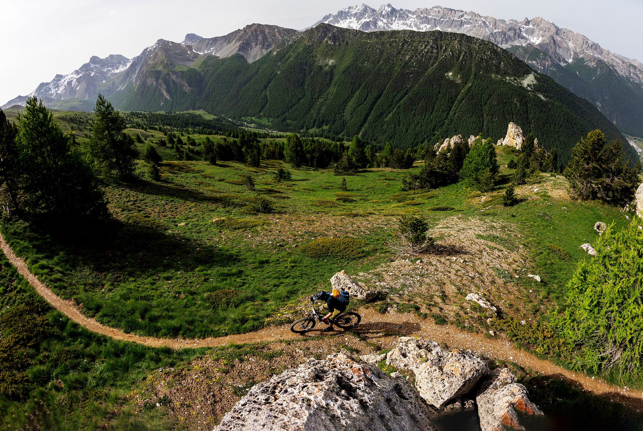
The STONE KING Route – adventure enduro from High Alps to the Med

High mountain escapades — 15 peaks over 3,000m in the Alps
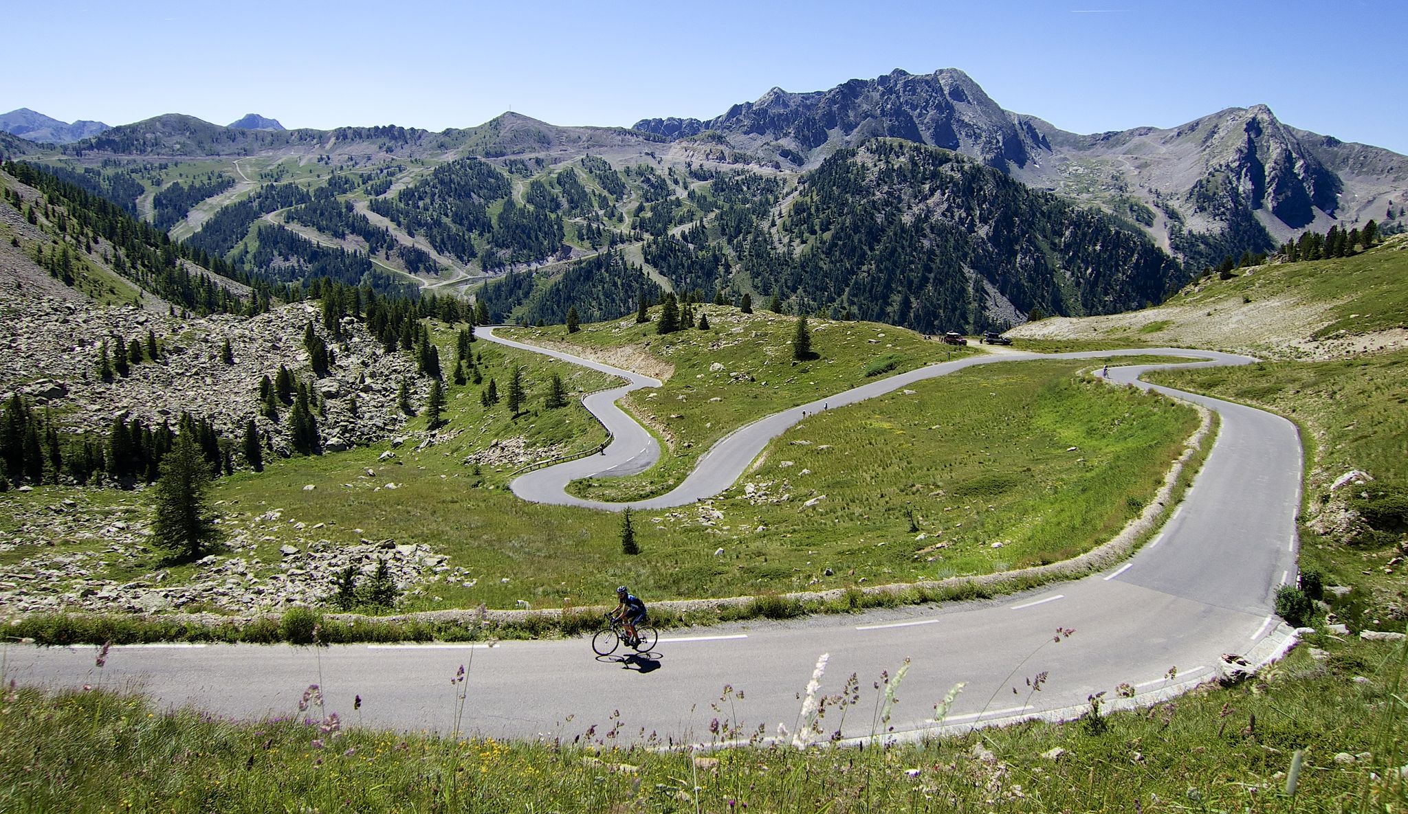
Conquer peaks – 7 Majors challenge between France and Italy

The most beautiful MTB and hiking tours in the French Maritime Alps
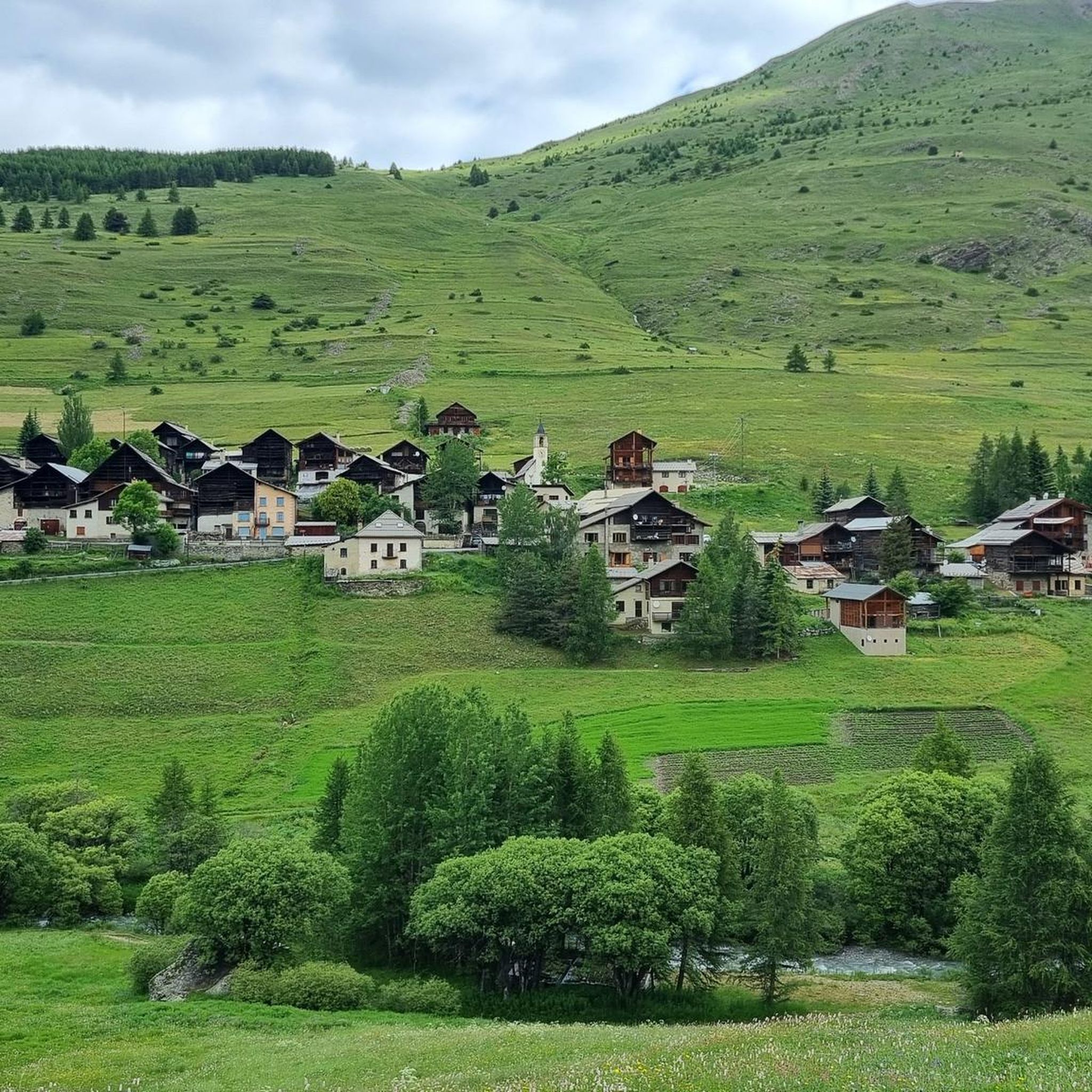
Hiking around Molines-En-Queyras
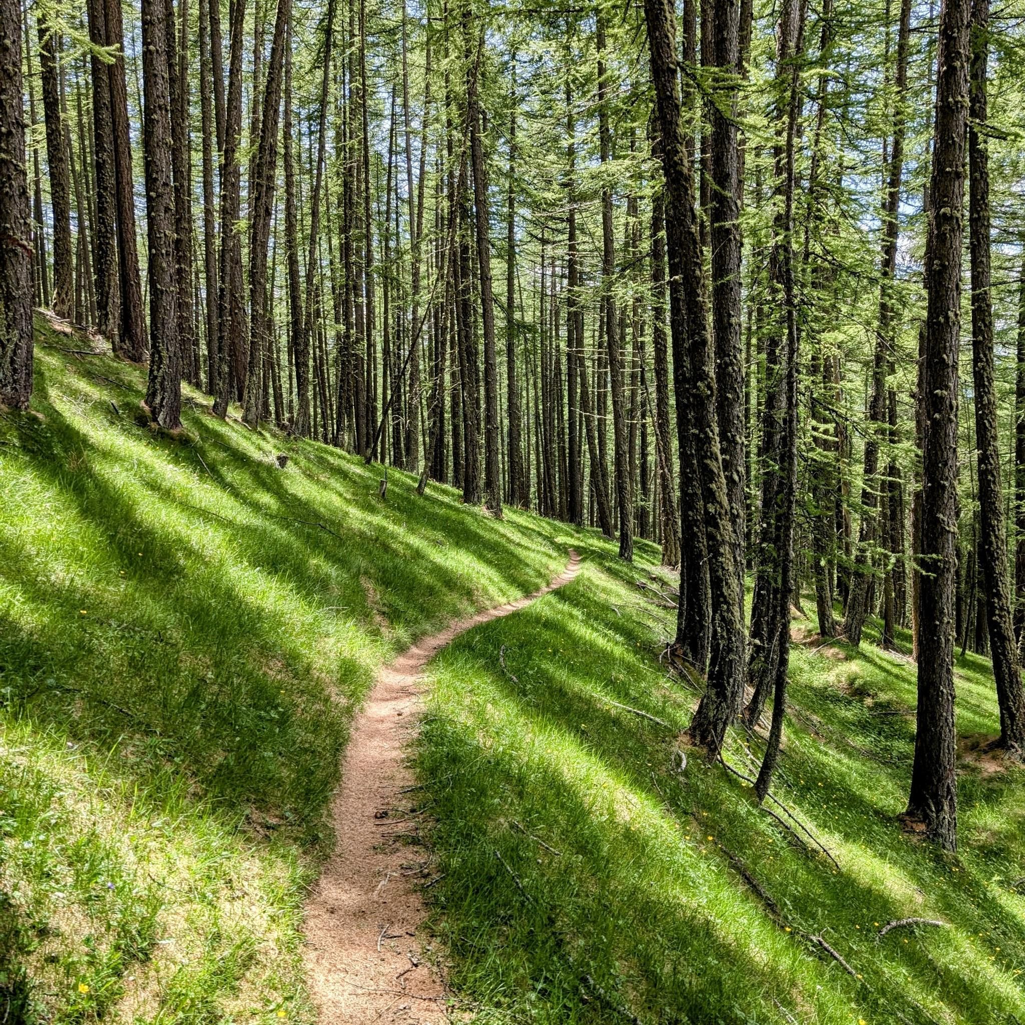
MTB Trails around Molines-En-Queyras

Road Cycling Routes around Molines-En-Queyras
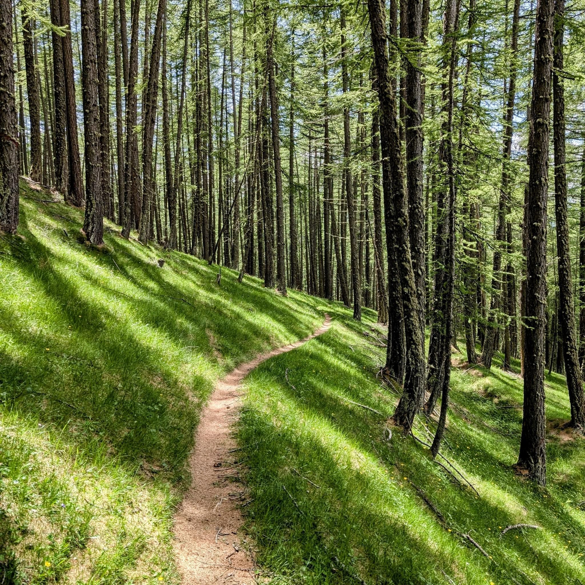
Cycling around Molines-En-Queyras
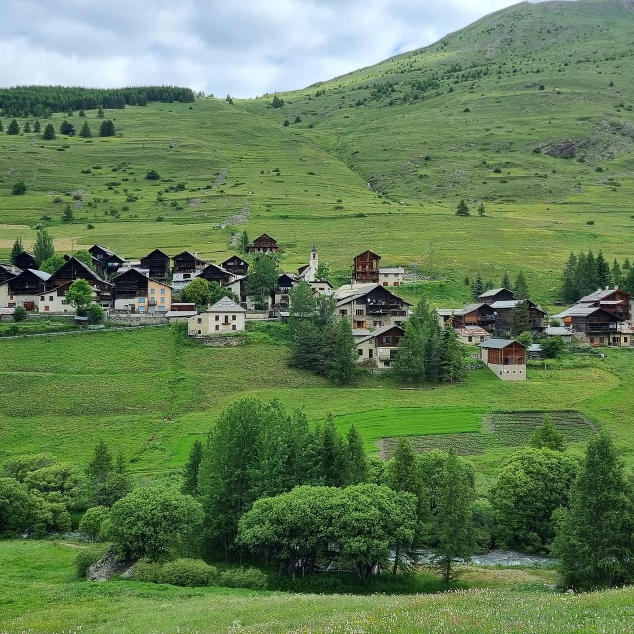
Running Trails around Molines-En-Queyras
Gravel biking around Molines-En-Queyras
Other adventures around Molines-En-Queyras


Tips from the Community

From here you can enjoy a breathtaking view, both towards Italy and France. Unfortunately, I caught it during roadwork and resurfacing, but I'd be curious to see it once it's finished.
0
0

Colle dell'Agnello (2,744 meters above sea level - Col Agnel in French; Còl dl'Agnél in Piedmontese) is an Alpine pass in the Cottian Alps (Monviso Alps), as well as the second-highest road pass in Italy and the third-highest in Europe [N 2], preceded only by the Colle dell'Iseran [N 3] in the French Alps and the Stelvio Pass in the Ortler Alps. Located southwest of Monviso, between Pan di Zucchero and Punta dell'Alp, it connects Italy to France from the Piedmontese municipality of Pontechianale to the French municipality of Molines-en-Queyras in the Hautes-Alpes department [N 4]. It was inaugurated in 1973 by expanding a pre-existing dirt military road; It has been a transit point for several stages of the Giro d'Italia and the Tour de France and a popular destination for summer camps for amateur astronomers, offering one of the observation sites with the darkest, most pristine sky and accessible by normal vehicles.
0
0

https://youtu.be/JFu9Uf70ECw?si=5jd76ATJkKHsYo-D Pushing up a manageable, sustainable steep section from the lake. Then it's like a high plateau, and from here you can roll down towards the Ubaye Valley via Longet without much difficulty. I initially planned to reach the Ubaye Valley via the Noir, but it was so steep to push that I quickly switched to the Blanchet/Longet route. The two passes start more or less 100 meters from the lake. I can't imagine that going down to the lake would be any fun on the Noir either.
0
0

The altitude of Col Blanchet needs to be corrected, it is 2897 metres
0
0

To shorten the hike, it's best to take the chairlift to the Helios refuge, saving almost two hours of dirt road that passes by the Savigliano refuge. There aren't any major difficulties, except for the very last few meters where it climbs very steeply.
2
0

Located a few kilometers from Bobbio Pellice in the Pis della Rossa area, in the Carbonieri valley, the refuge is located in a splendid place where you can spend one or more days with family or friends surrounded by nature.
0
0

The Barbara Lowrie refuge is located in Pis della Rossa, in the Carbonieri valley of Bobbio Pellice. It was built in 1928 by a Canadian couple, Walter and Barbara Lowrie, who used it as a hunting lodge. Later, they sold it to the CAI UGET who turned it into a refuge, inaugurating it in 1931. It has a capacity of 24 beds and is open every day from May to October with bar service, restaurant and overnight stay. For more information, visit the refuge website: https://www.rifugiobarbara.it.
1
0

Very tough climb, from Pontechianale to the Helios refuge, pedalable with overturning slopes, from the refuge to the summit all portage and push. But the descent is one of the most beautiful I've ever done
1
1
Frequently Asked Questions
Which mountain peaks around Molines-en-Queyras offer the most spectacular panoramic views?
For truly spectacular panoramic views, consider Pain de Sucre Summit, which provides a sweeping 360-degree vista of the French, Swiss, and Italian Alps, including Mont Viso and Mont Blanc. Gardiole de l'Alp, visible from Molines-en-Queyras, also offers an extraordinary 360-degree panorama encompassing the Queyras, Ubaye, Ecrins, and even Italy. Pic de Caramantran is another excellent choice, allowing observation of numerous 3,000-meter peaks like Mont Viso and Pain de Sucre.
Are there any family-friendly or less strenuous mountain walks around Molines-en-Queyras?
While many peaks offer challenging ascents, some routes are more accessible. Gardiole de l'Alp, for instance, is highly accessible with a popular loop hike starting from Pierre Grosse, offering rewarding views without extreme technical difficulty. La Collette de Gilly, at 2,366 meters, provides superb panoramas over the Guil valley and surrounding peaks, making it a rewarding destination for those preferring a less strenuous climb than the 3,000-meter summits.
What kind of wildlife can I expect to see on the mountain peaks in this region?
The mountain peaks around Molines-en-Queyras are rich in wildlife. You have a good chance of encountering marmots, especially around Gardiole de l'Alp and on the circular hike to Pic de Caramantran. Ibex are also frequently spotted in the area of Pic de Caramantran, adding to the natural appeal of your hike.
What is the best time of year to visit the mountain peaks around Molines-en-Queyras for hiking?
The region is particularly appealing in autumn when the larch forests turn vibrant colors, creating a stunning backdrop for your hikes. While summer offers pleasant conditions, autumn provides a unique visual experience. Always check local conditions before planning your visit, especially for higher altitudes.
Are there any notable natural landmarks or features besides the peaks themselves?
Yes, the region boasts several natural landmarks. Near Pic de Caramantran, you can discover three magnificent lakes: Blanchet supérieur, Blanchet inférieur, and Blanche. The area also features the historic Pian del Re Hut, a significant starting point for mountaineers aiming for Monviso, and the beautiful larch forests that surround peaks like Gardiole de l'Alp.
Where can I find challenging hiking routes for experienced mountaineers?
For challenging routes, consider the ascent to Pain de Sucre Summit, which is a first-class viewpoint and a rewarding objective for experienced hikers. Another challenging option is Punta Tre Chiosis, which involves a steep final ascent but offers a sensational 360-degree landscape. Many paths for multi-day treks and mountaineering itineraries, including the Normal route of Monviso, start from the Pian del Re Hut.
What are some popular hiking trails near Molines-en-Queyras?
Molines-en-Queyras is a great base for various hiking adventures. You can find numerous mountain hikes in the area, such as the 'Col du Longet (2,701 m) loop' or the 'Col Vieux loop'. For more detailed information and routes, you can explore the Mountain Hikes around Molines-En-Queyras guide.
Are there opportunities for cycling or mountain biking near the peaks?
Absolutely. The region around Molines-en-Queyras offers excellent opportunities for both cycling and mountain biking. You can find routes like the 'Molines-en-Queyras – Refuge Agnel loop' for touring bicycles or the 'Saint-Véran – Saint-Véran Observatory loop' for mountain biking. Discover more options in the Cycling around Molines-En-Queyras guide and the MTB Trails around Molines-En-Queyras guide.
Which peaks offer views of the border between France and Italy?
The Pain de Sucre Summit, at 3,210 meters, distinctly marks the border between France and Italy, offering panoramic views that span both countries. Pic de Caramantran is also part of a border route, and La Collette de Gilly provides views of the Urine pass, which borders Italy.
What makes the Bucher Summit a recommended visit?
Bucher Summit is described as a magnificent walk not to be missed. It offers superb 360-degree views of the surrounding mountains and Mont Viso, providing expansive vistas of the picturesque alpine landscape.
What are the general characteristics of the mountain peaks around Molines-en-Queyras?
The mountain peaks around Molines-en-Queyras, situated within the Queyras Regional Natural Park, are characterized by high-altitude terrain. Many summits and passes exceed 3,000 meters in elevation, offering diverse outdoor activities, breathtaking panoramas, and a range of experiences from moderate hikes to challenging climbs.
Most popular routes around Molines-En-Queyras
Most popular attractions around Molines-En-Queyras

Get inspired with the komoot mobile app


Explore more
See even more amazing summits around Molines-En-Queyras with these guides:
