The best running trails around Crennes-Sur-Fraubée
4.5
(18)
586
runners
91
runs
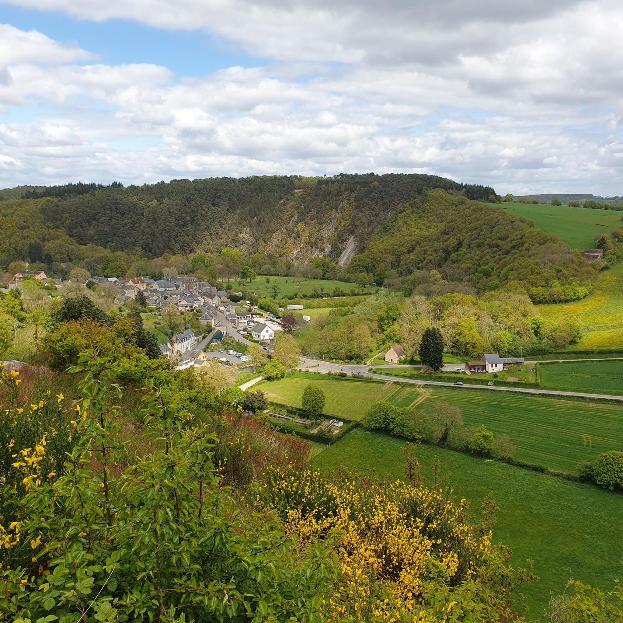
Jogging around Crennes-Sur-Fraubée offers diverse terrain within the Parc Naturel Régional et Géoparc Normandie-Maine. The region features a varied topography, including forests, moorlands, and river valleys, providing a range of running environments. Trails often lead through deciduous woodlands and open moorlands, with some routes offering elevation changes. The landscape provides both accessible paths and more challenging running routes.
Best jogging routes around Crennes-Sur-Fraubée
- The most popular jogging route is Corniche de Pail Trail, an easy 2.6 miles (4.1 km)…
Last updated: July 1, 2026
4.14km
00:31
70m
70m
Jog the easy 2.6-mile Corniche de Pail Trail for varied terrain, panoramic views, and wildlife spotting in Parc naturel régional et Géoparc
4.0
(1)
37
runners
8.58km
01:00
110m
110m
Moderate run. Good fitness required. Mostly paved surfaces. Suitable for all skill levels.

Sign up for free
5.0
(1)
16
runners
11.8km
01:21
120m
120m
Moderate run. Good fitness required. Mostly paved surfaces. Suitable for all skill levels.
11
runners
5.93km
00:37
30m
30m
Moderate run. Good fitness required. Mostly paved surfaces. Suitable for all skill levels.
9
runners
13.0km
01:39
260m
260m
Moderate run. Good fitness required. Mostly accessible paths. Some sure footedness required.
Get access to more routes and recommendations from other explorers.
Sign up for free
Already have an account?
Our route recommendations are based on thousands of hikes, rides, and runs completed by other people on komoot.
Start today with a free account
Your next adventure awaits.
Login or Signup

Tips from the Community


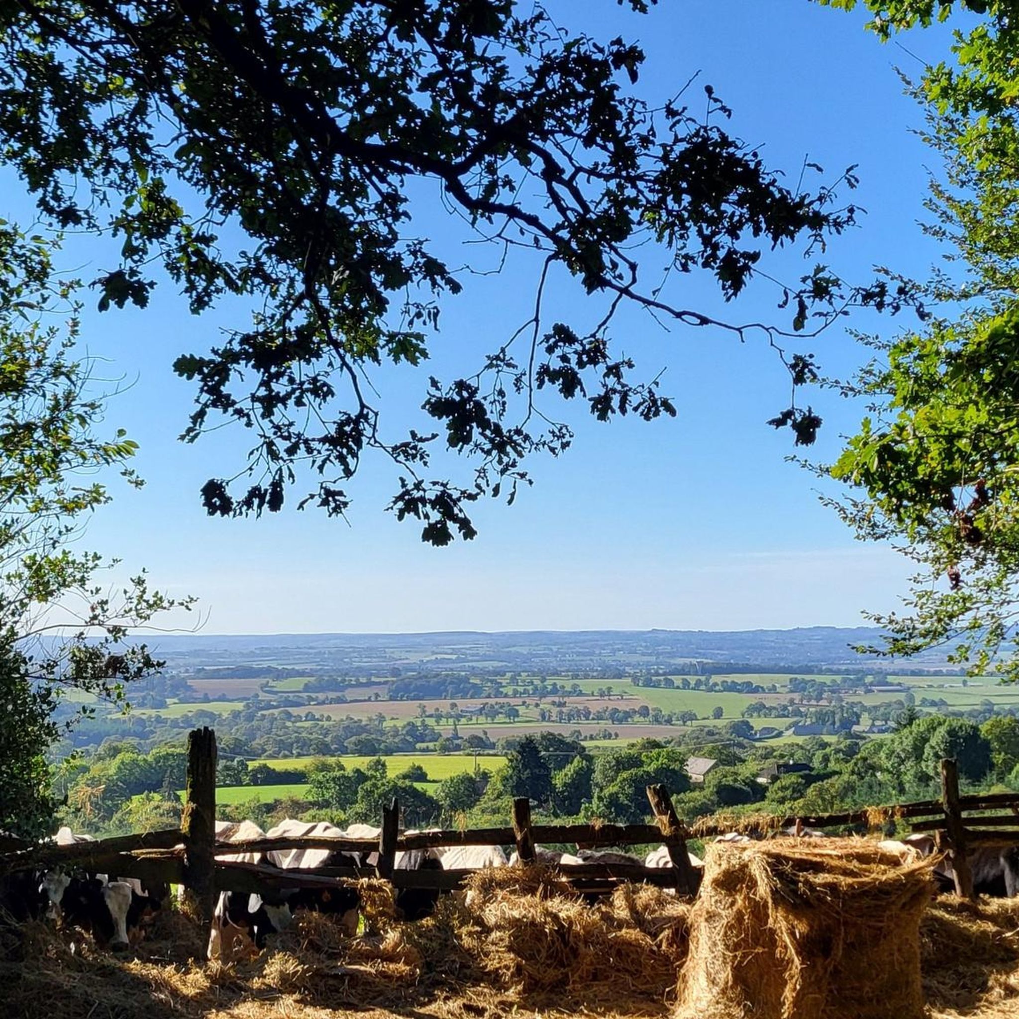
At 383 m above sea level, the view is breathtaking. The summit itself is an important stopover for migrating birds. The flora and fauna are interesting, especially the heathers and ferns which spread over the moors. Wild and open, this habitat is unique.
2
0
At 383 m altitude, the view is breathtaking. The summit itself is an important stopover for migrating birds. The flora and fauna are interesting, especially the heathers and ferns which spread over the moors. Wild and open, this habitat is unique.
2
0

A pretty stretch of the old railway lines of the Mayenne which connects Javron to Mayenne. A safe route through the bocage... Ideal for outings with young children!
1
0
Frequently Asked Questions
How many running routes are available around Crennes-Sur-Fraubée?
There are over 80 running routes around Crennes-Sur-Fraubée listed on komoot. These range from easy, short jogs to more challenging, longer runs, offering a wide variety of options for all fitness levels.
What kind of terrain can I expect on the jogging trails in this region?
The region offers diverse terrain, primarily within the Parc Naturel Régional et Géoparc Normandie-Maine. You'll find routes leading through deciduous woodlands, open moorlands, and river valleys. Some trails feature gentle elevation changes, while others provide more significant climbs, especially around areas like the Mont des Avaloirs. The landscape ensures a mix of soft surfaces and varied paths.
Are there any easy running routes suitable for beginners or a relaxed jog?
Yes, there are several easy running routes. For a relaxed jog, consider the Corniche de Pail Trail. It's an easy 2.6 miles (4.1 km) route that takes about 30 minutes to complete, offering a scenic experience within the regional natural park.
What are some notable natural features or landmarks I might see while running?
The region is rich in natural beauty. You might encounter the expansive forests and moorlands of the Parc Naturel Régional et Géoparc Normandie-Maine. The Mont des Avaloirs viewpoint, the highest point in Western France, offers breathtaking panoramic views. Other highlights include the Multonne Forest and the scenic Alençon-Rives d'Andaines greenway.
Are there any circular running routes available?
Yes, many of the running routes in the area are circular, allowing you to start and finish at the same point. A popular example is the Étang des Perles loop from Villaines-la-Juhel, a moderate 5.3 miles (8.5 km) path that circles the lake.
What do other runners say about the trails in Crennes-Sur-Fraubée?
The running routes in Crennes-Sur-Fraubée are highly rated by the komoot community, with an average score of 4.5 stars from over 10 reviews. Runners often praise the varied terrain, the immersive natural environments of the forests and moorlands, and the well-maintained paths that cater to different ability levels.
Are the running trails around Crennes-Sur-Fraubée suitable for families?
Yes, the region offers trails suitable for families, especially the easier routes with less elevation gain. The diverse landscapes and well-marked paths provide a pleasant environment for families to enjoy a jog or a walk together. Look for routes described as 'easy' for the most family-friendly options.
Can I bring my dog on the running trails?
While specific leash policies can vary by trail section or protected area, generally, dogs are welcome on many of the outdoor trails in the Parc Naturel Régional et Géoparc Normandie-Maine. It's always recommended to keep your dog on a leash, especially in areas with wildlife or near livestock, and to clean up after them.
What is the best time of year to go running in Crennes-Sur-Fraubée?
The region is enjoyable for running throughout much of the year. Spring and autumn offer pleasant temperatures and beautiful scenery with changing foliage. Summer provides shaded routes through the forests, while winter can offer crisp, clear runs, though some trails might be muddy or require appropriate footwear depending on recent weather.
Are there any longer or more challenging running routes for experienced runners?
Absolutely. For those seeking a greater challenge, routes like the Étang de Villeray – Bois de Villeray loop from Villaines-la-Juhel offer a difficult 9.8 miles (15.8 km) experience with notable elevation changes. The varied topography of the region ensures there are routes to test good to very good fitness levels.
Where can I find parking for the running trails?
Many trailheads, especially those for popular routes or loops starting from villages like Villaines-la-Juhel, often have designated parking areas. For specific routes, it's best to check the individual komoot tour page for details on starting points and available parking facilities.
Are there places to eat or drink near the running routes?
While Crennes-Sur-Fraubée itself is a small commune, nearby towns and villages within the Parc Naturel Régional et Géoparc Normandie-Maine, such as Villaines-la-Juhel, offer cafes, pubs, and restaurants where you can refuel before or after your run. These amenities are typically found in the main village centers.
Most popular routes around Crennes-Sur-Fraubée
Most popular attractions around Crennes-Sur-Fraubée

Get inspired with the komoot mobile app


Explore more
Browse the best Running Trails & Routes in other regions.
