The best walks and hikes around Montrond-Le-Château
4.4
(1137)
7,799
hikers
352
hikes
Hiking around Montrond-Le-Château offers routes through the first plateau of the Jura massif, characterized by an average altitude of 450 meters. The landscape features the prominent Mont Rond hill, marly lawns, ponds, and woodlands, including a designated Sensitive Natural Area. The subsoil is known for karstic phenomena such as sinkholes and caves. Panoramic views of the surrounding villages and the Jura massif are available from elevated points.
Best hiking trails around Montrond-Le-Château
- The most popular hiking route is Le Rocher…
Last updated: July 6, 2026
4.0
(2)
17
hikers
5.14km
01:35
180m
180m
Easy hike. Great for any fitness level. Easily-accessible paths. Suitable for all skill levels.
5.0
(2)
11
hikers
7.82km
02:07
100m
100m
Moderate hike. Good fitness required. Easily-accessible paths. Suitable for all skill levels.

Sign up for free
4.0
(1)
16
hikers
10.1km
02:53
220m
220m
Moderate hike. Good fitness required. Easily-accessible paths. Suitable for all skill levels.
5.0
(2)
6
hikers
Moderate hike. Good fitness required. Easily-accessible paths. Suitable for all skill levels.
5.0
(2)
8
hikers
10.1km
02:43
120m
120m
Moderate hike. Good fitness required. Easily-accessible paths. Suitable for all skill levels.
Get access to more routes and recommendations from other explorers.
Sign up for free
Already have an account?
Our route recommendations are based on thousands of hikes, rides, and runs completed by other people on komoot.
Start today with a free account
Your next adventure awaits.
Login or Signup

Tips from the Community


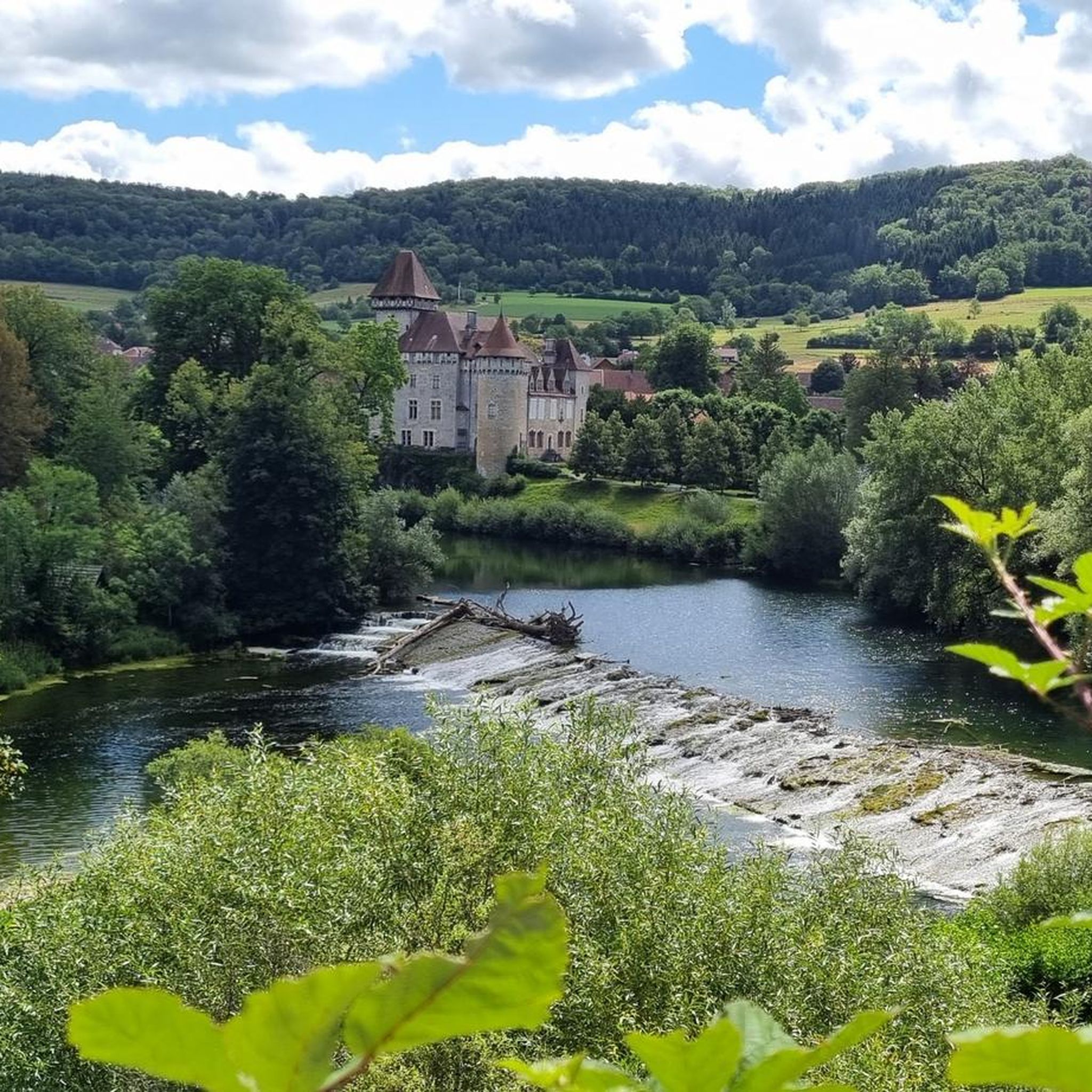
Here, the geology of the riverbed causes the Loue to flow so gently that its surface almost becomes a mirror reflecting the old mill.
2
0
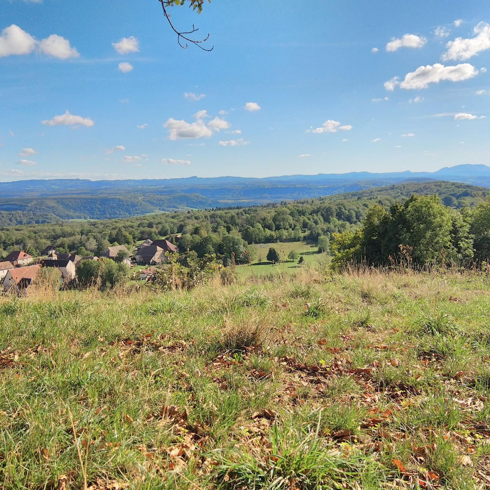
From this rocky outcrop, you can admire magnificent vistas, including three valleys in one breathtaking view.
2
0

Beautiful path through the forest with many rocks and small caves.
0
0

The Tour Saint-Denis is part of the Château de Scey, which was erected on a rocky outcrop separating the Loue valley and the Valbois ravine. The castle is compartmentalized into very distinct sections, including the barnyard, which in its time housed the sommellerie. Place where local wines such as Arbois, Savagnin or Gamay were stored.
2
0

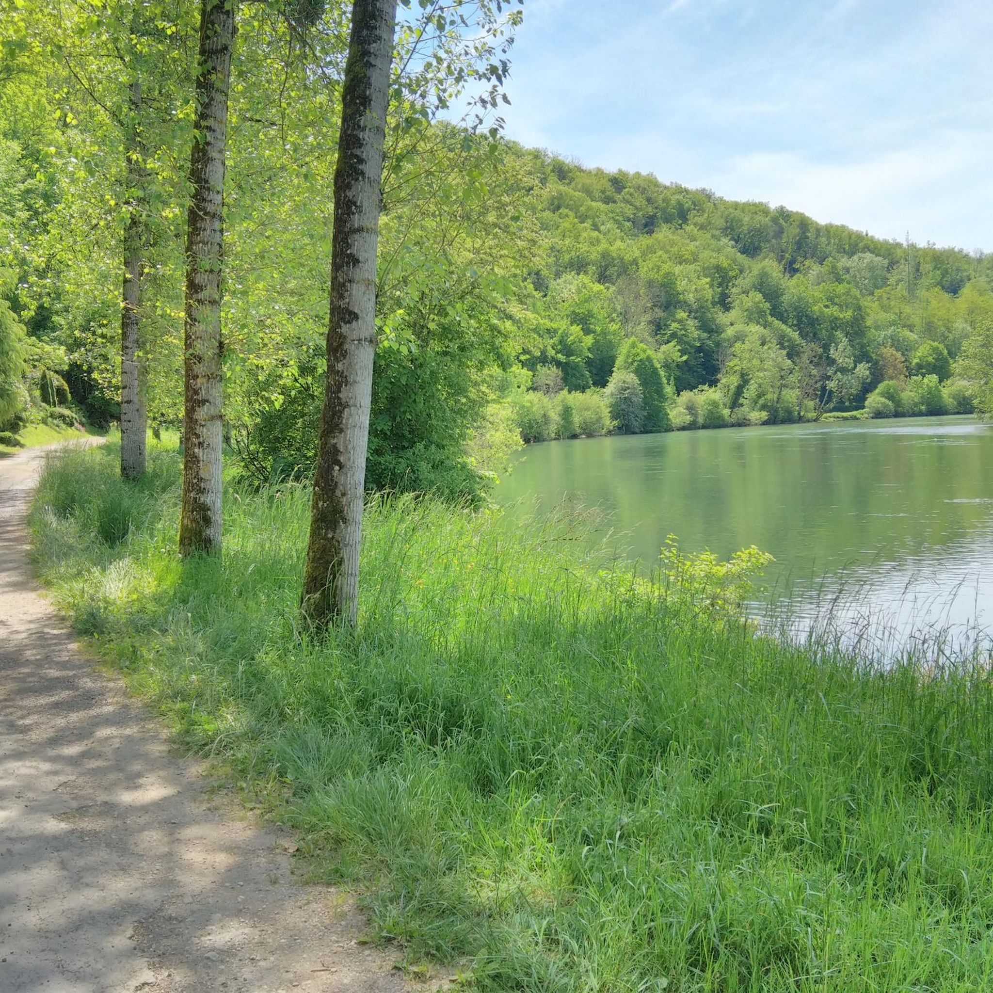
Picturesque place on the Loue, which moves very slowly here and thus becomes a mirror. Also banned by painters like Gustave Courbet on canvas.
4
0
Frequently Asked Questions
What kind of terrain can I expect on hikes around Montrond-Le-Château?
The hiking trails in Montrond-Le-Château traverse the first plateau of the Jura massif, featuring an average altitude of 450 meters. You'll encounter varied landscapes including the prominent Mont Rond hill, marly lawns, ponds, and woodlands. The subsoil is also known for karstic phenomena like sinkholes and caves, adding to the unique geological character of the region.
Are there hiking options for different skill levels in Montrond-Le-Château?
Yes, Montrond-Le-Château offers a wide range of hiking routes suitable for various abilities. Out of over 340 available tours, you'll find approximately 148 easy routes, 174 moderate routes, and 27 more challenging options, ensuring there's something for everyone.
What are some notable natural features or landmarks to look out for on the trails?
Hikers can explore several distinctive natural and historical features. The 'Mont Rond' butte, visible from afar, offers panoramic views from its summit, where you'll also find the ruins of a medieval castle and a statue of the Virgin. The area also includes Bout du Monde Waterfall and unique karstic formations. The Sensitive Natural Area of La Motte à Montrond-le-Château is home to protected animal and plant species, with a path guided by 'Salomon the triton' leading through its natural richness.
Are there any family-friendly hiking routes in the area?
Montrond-Le-Château offers several easy routes that are suitable for families. For instance, the region has approximately 148 easy tours. Many of these routes, including the marked trails of 3.8 km or 6.4 km, incorporate the discovery of the Sensitive Natural Area, providing an engaging experience for children.
Can I bring my dog on the hiking trails?
While many trails in the region are dog-friendly, it's always recommended to keep dogs on a leash, especially in sensitive natural areas like La Motte à Montrond-le-Château, which protects various animal and plant species. Always check local signage for specific regulations on individual trails.
What do other hikers enjoy most about hiking in Montrond-Le-Château?
The hiking experience in Montrond-Le-Château is highly regarded by the komoot community, with an average rating of 4.5 stars from over 980 reviews. Hikers often praise the diverse terrain, the stunning panoramic views from elevated points like Mont Rond, and the opportunity to explore both natural beauty and historical sites.
Are there any circular hiking routes available?
Yes, many of the routes around Montrond-Le-Château are designed as circular walks. An example is Le Rocher de Valmy — loop from Arguel, which is a moderate 9.6 km trail offering scenic views. Another option is Puits de la Brême — loop in the ravin du Puits Noir, a shorter 5.3 km route.
What is the best time of year to go hiking in Montrond-Le-Château?
The region is generally pleasant for hiking from spring through autumn. Spring brings blooming flora, while autumn offers vibrant foliage. Summer is also suitable, but it's advisable to start early to avoid the midday heat. Winter hiking is possible, but some trails might be slippery or require appropriate gear due to snow or ice.
Are there any historical sites or castles accessible from the hiking trails?
Absolutely. The ruins of the medieval castle on the summit of Mont Rond are a prominent historical feature directly accessible from many trails, offering historical context alongside breathtaking views. Further afield, but within a reasonable distance, you can explore the Château de Cléron and the town of Ornans, which can be incorporated into longer excursions.
How many hiking trails are available in Montrond-Le-Château?
There are over 340 hiking tours available around Montrond-Le-Château, providing a wide variety of options for exploring the region's diverse landscapes and attractions.
Are there any specific trails that lead to viewpoints?
Many trails in Montrond-Le-Château offer excellent viewpoints. The summit of 'Mont Rond' itself is a classified panoramic site, providing extensive views of the village, neighboring areas, and the Jura massif. The Chez Gervais – Beautiful view loop from Chenecey-Buillon is another route specifically known for its scenic vistas.
What are the options for public transport or parking near the trailheads?
While specific public transport routes directly to all trailheads might be limited in this rural commune, Montrond-Le-Château is generally accessible by car. Parking is typically available within the village or at designated starting points for marked trails. It's advisable to check local information for the most convenient parking spots for your chosen route.
Most popular routes around Montrond-Le-Château
Most popular attractions around Montrond-Le-Château

Get inspired with the komoot mobile app


Explore more
Browse the best Hikes in other regions.
