The best MTB trails around Ceaulmont
4.5
(35)
244
riders
39
rides
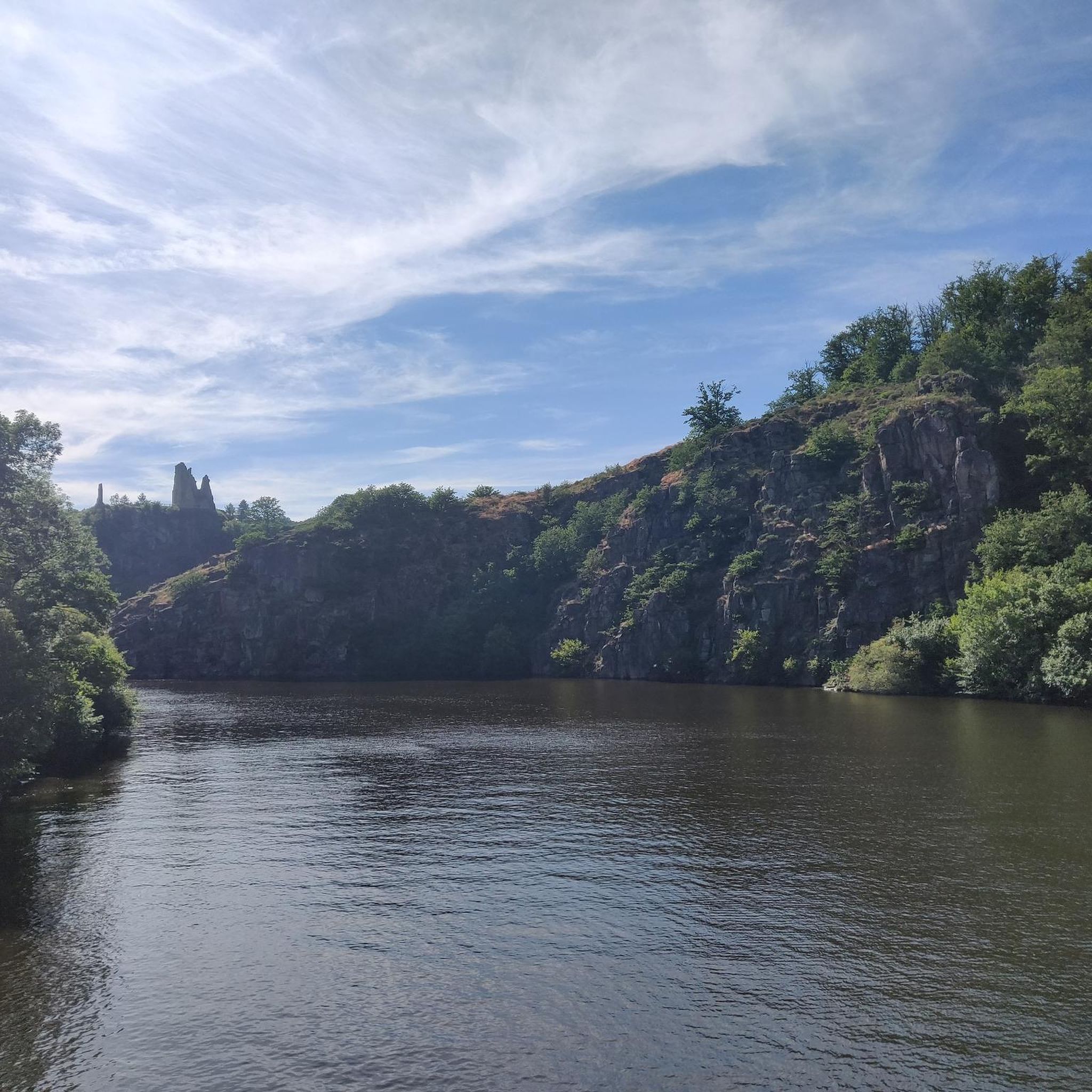
Mountain biking around Ceaulmont offers varied landscapes, from tranquil riverbanks and lush meadows to dense woods and rocky formations. The region, characterized by its undulating terrain and proximity to the Creuse river, provides a dynamic environment for cyclists. Trails navigate through wooded slopes, exposed rocks, and open pastures, with areas showcasing diverse natural beauty. This mix of "bocage et montagne" ensures a constantly changing scenery for mountain bikers.
Best mountain bike trails around Ceaulmont
- The most popular mountain bike trail…
Last updated: August 25, 2026
3.8
(4)
23
riders
Moderate mountain bike ride. Good fitness required. Suitable for all skill levels.
5.0
(2)
12
riders
61.8km
04:52
1,000m
1,000m
Hard mountain bike ride. Very good fitness required. Suitable for all skill levels.

Sign up for free
5.0
(2)
11
riders
39.6km
03:08
470m
470m
Moderate mountain bike ride. Good fitness required. Advanced riding skills necessary.
5.0
(2)
8
riders
46.0km
03:09
730m
730m
Moderate mountain bike ride. Good fitness required. Suitable for all skill levels.
4
riders
Moderate mountain bike ride. Good fitness required. Advanced riding skills necessary.
Get access to more routes and recommendations from other explorers.
Sign up for free
Already have an account?
Our route recommendations are based on thousands of hikes, rides, and runs completed by other people on komoot.
Start today with a free account
Your next adventure awaits.
Login or Signup

Tips from the Community

The Gargilesse is a river in France, approximately 22 kilometers long, flowing through the Nouvelle-Aquitaine and Centre-Val de Loire regions. Its source is located in the northeastern municipality of Méasnes at an altitude of about 398 meters. From there, the river generally flows in a northwesterly direction, crossing the Creuse and Indre departments. Finally, the Gargilesse flows into the Creuse as a right tributary in the municipality of the picturesque village of Gargilesse-Dampierre, at an altitude of about 125 meters. The region around the river and the village of the same name, which is considered one of the most beautiful villages in France, is known for its idyllic and untouched nature, as well as being a popular destination for hiking and fishing.
10
0

Towering over Argenton-sur-Creuse is the gilded statue of the Bonne Dame, a beacon visible from afar. What few people know is that this six-meter-high statue was dragged from the train station to the chapel in 1899 by ten oxen and thirteen horses, to the loud applause of the town's inhabitants. Today, you can hike up the hill yourself and be rewarded with a panoramic view of the Creuse valley—with the Bonne Dame still standing guard over the town.
4
0
In the Creuse valley lies the picturesque village of Gargilesse-Dampierre. The village is listed as one of the most beautiful villages in France. And I can see why: the romantic charm of the closely packed houses with their steep, brown-tiled roofs, which surround the castle. Truly artistic, picturesque, and charismatic. It's wonderful to take a walk in this area and have a drink at one of the restaurants. Especially the restaurant at the top, where you have a magnificent view of the village and the castle.
3
0

do not ride there after rain
0
0


Very clean and rolling path, sheltered from the wind and the sun.
0
0
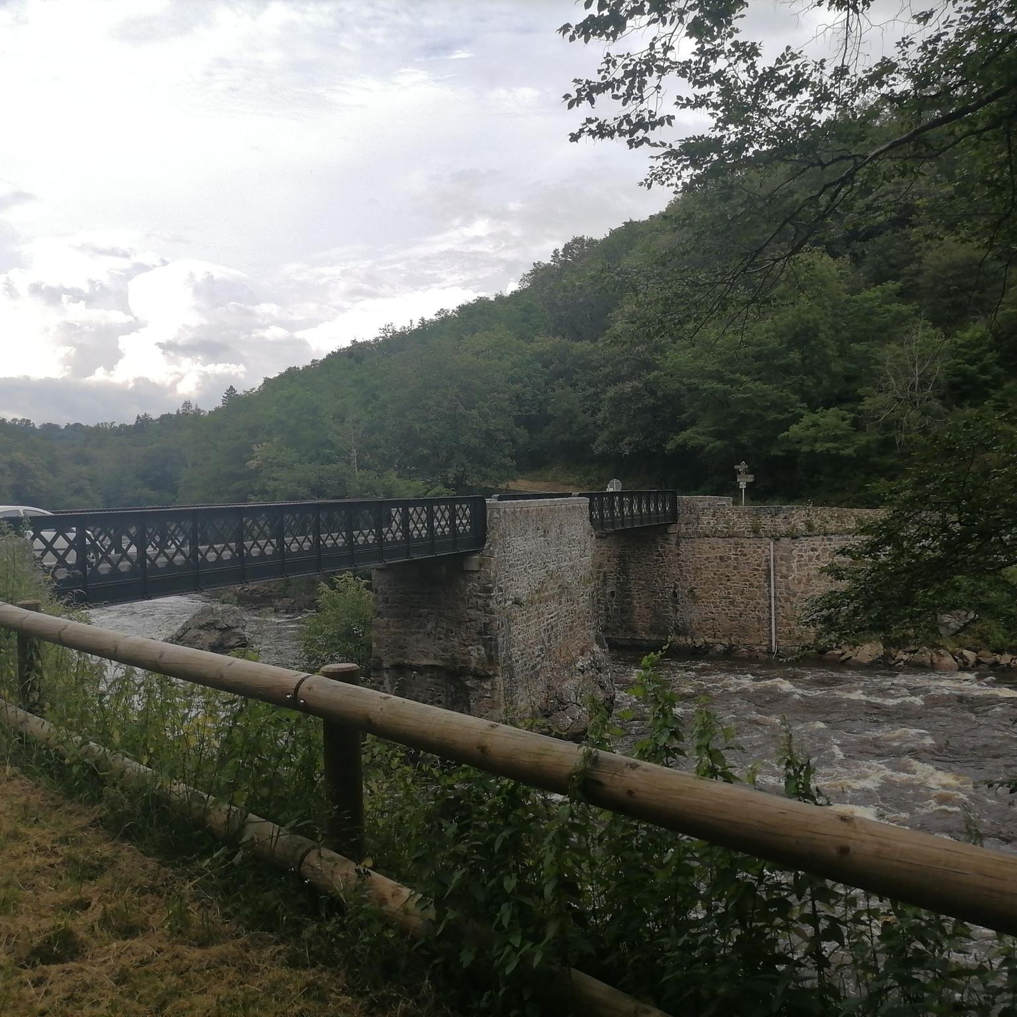
Shallow and easy to cross ford. If necessary, gateway.
0
0
Frequently Asked Questions
How many mountain bike trails are available around Ceaulmont?
There are over 45 mountain bike trails around Ceaulmont listed on komoot. These routes offer a diverse range of experiences, from easy rides to challenging ascents, catering to various skill levels.
What kind of terrain can I expect on mountain bike trails in Ceaulmont?
The terrain around Ceaulmont is quite varied, characterized by its undulating landscape, proximity to the Creuse river, and a mix of natural features. You'll encounter tranquil riverbanks, lush meadows, dense woods, and rocky formations. Trails often navigate through wooded slopes, exposed rocks, and open pastures, offering a dynamic experience with alternating 'bocage et montagne' (bocage and mountain) and 'rochers et herbes hautes' (rocks and tall grass).
Are there easy mountain bike trails suitable for beginners in Ceaulmont?
Yes, Ceaulmont offers several easy mountain bike trails. For instance, the Argenton-sur-Creuse – Tranchée des Bignaux🤗 loop from Argenton-sur-Creuse is an easy 23.3 km route with a moderate elevation gain, perfect for those looking for a less strenuous ride.
Are there any challenging mountain bike routes for experienced riders?
Absolutely. For experienced riders seeking a challenge, the region offers more demanding routes. A notable difficult trail is the Our Lady's Chapel – Nice descent to Gargilesse🤗 loop from Argenton-sur-Creuse, which spans 63.0 km with over 1000 meters of elevation gain, providing a significant physical test.
What attractions or landmarks can I see along the mountain bike trails in Ceaulmont?
Many trails pass by interesting sites. You might encounter historical villages like Gargilesse-Dampierre, or architectural points of interest such as the The Old Bridge. The region is also home to the 13th-century Saint-Saturnin church and the impressive Château de la Prune au Pot, offering cultural stops amidst your ride.
Are there any mountain bike trails that offer scenic viewpoints?
Yes, the varied topography of Ceaulmont provides several opportunities for scenic views. The Eguzon Dam viewpoint is a notable spot that offers expansive vistas of the surrounding landscape, often accessible from nearby trails.
What do other mountain bikers say about the trails in Ceaulmont?
The mountain bike trails in Ceaulmont are highly rated by the komoot community, with an average score of 4.4 stars from over 30 reviews. Riders often praise the diverse scenery, the mix of river valleys and wooded areas, and the options available for different skill levels.
Are there any loop trails for mountain biking in Ceaulmont?
Yes, many of the mountain bike routes in Ceaulmont are designed as loops, allowing you to start and finish at the same point. An example is the Gargilesse Castle – Gargilesse-Dampierre loop from Gargilesse-Dampierre, a moderate 25.6 km trail that offers a mix of climbs and descents.
Can I find trails that follow the Creuse river?
Yes, the Creuse river is a defining feature of the region, and several mountain bike trails incorporate sections along its banks. You can find routes that include single tracks along the Creuse river, offering picturesque views and a unique riding experience.
What is the best time of year for mountain biking in Ceaulmont?
Ceaulmont's diverse environment makes it enjoyable across seasons. While specific conditions can vary, spring and autumn generally offer pleasant temperatures and vibrant scenery. Be aware that some paths, especially in wooded areas, can become muddy and more challenging in winter due to roots and wet conditions.
Are there any trails that are particularly good for wildlife observation?
The 'Boucle du Pin' area, known as an 'Espace Naturel Sensible' (Sensitive Natural Area), is particularly noted for its biodiversity. While mountain biking, you might have the chance to observe emblematic species of the Creuse Valley, such as otters and genets, especially in quieter sections of the trails that pass through this natural area.
What is the average duration for a mountain bike tour in Ceaulmont?
The duration of mountain bike tours in Ceaulmont varies significantly depending on the route's length and difficulty. For example, a moderate route like the View from the bridge – Greenway bridge loop from Argenton-sur-Creuse, which is 27.2 km, can typically be completed in about 1 hour 37 minutes, while longer, more difficult routes will take considerably more time.
Most popular attractions around Ceaulmont

Get inspired with the komoot mobile app


Explore more
Browse the best MTB trails in other regions.
