Top 6 Mountain Passes around Bagnols-Les-Bains
Best mountain passes around Bagnols-Les-Bains offer diverse terrain for exploration. This region features passes that connect valleys and provide access to significant natural landmarks. The landscape includes areas between the Lot valley and Valdonner, and routes leading to the Cévennes. Mountain passes here are often characterized by varying gradients and lengths, suitable for different levels of activity.
Best mountain passes around Bagnols-Les-Bains
- The most popular mountain passes is Loubière Pass, a mountain pass that is 6 kilometers long with…
Last updated: July 10, 2026
Loubière Pass
Highlight • Mountain Pass
Showing Translation
Tip by

Santel Pass
Highlight • Mountain Pass
Translated by Google •
Tip by

Sign up now to discover places like this
Get recommendations on the best single tracks, peaks, & plenty of other exciting outdoor places.
Sign up for free
Col des Tribes and the watershed divide
Highlight • Mountain Pass
Translated by Google •
Tip by
Col du Goulet
Highlight • Mountain Pass
Tip by

Pass of the Planted Stone
Highlight • Mountain Pass
Translated by Google •
Tip by

Sign up for free to discover even more mountain passes around Bagnols-Les-Bains.
Sign up for free
Already have an account?
Start today with a free account
Your next adventure awaits.
Login or Signup
Popular around Bagnols-Les-Bains

The Grande traversée du Massif Central by gravel bike
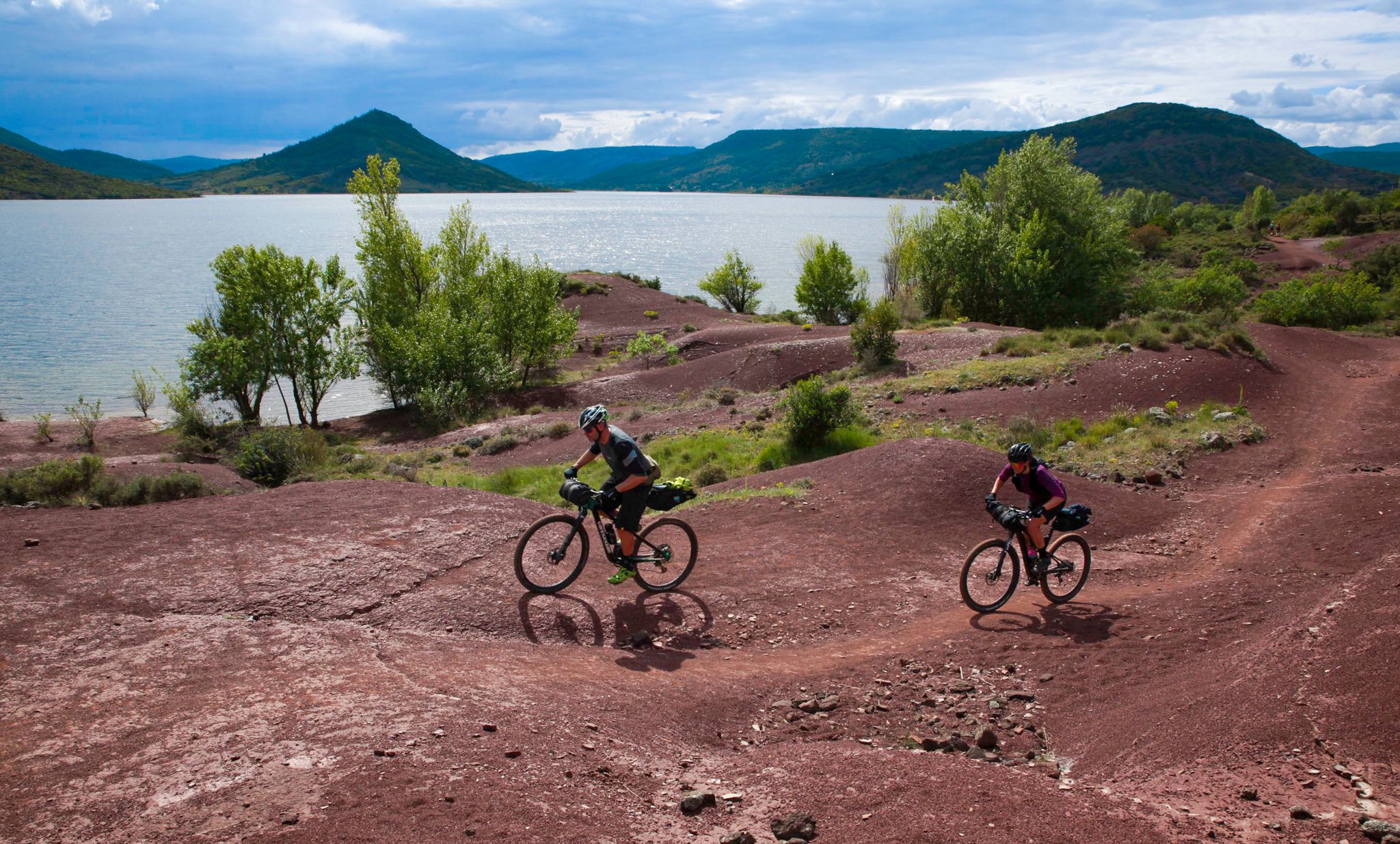
The Great Crossing of France's Massif Central by mountain bike
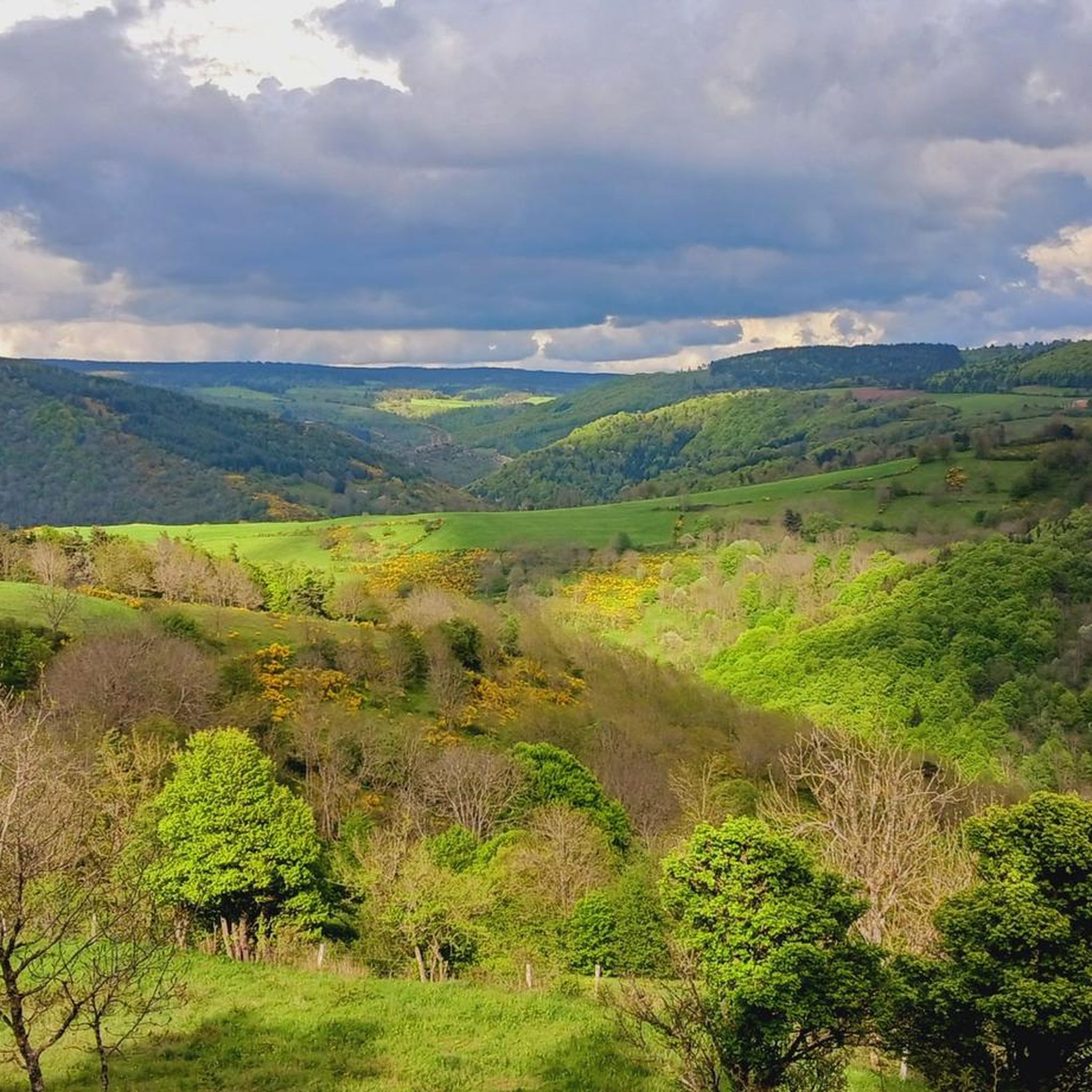
Hiking around Bagnols-Les-Bains
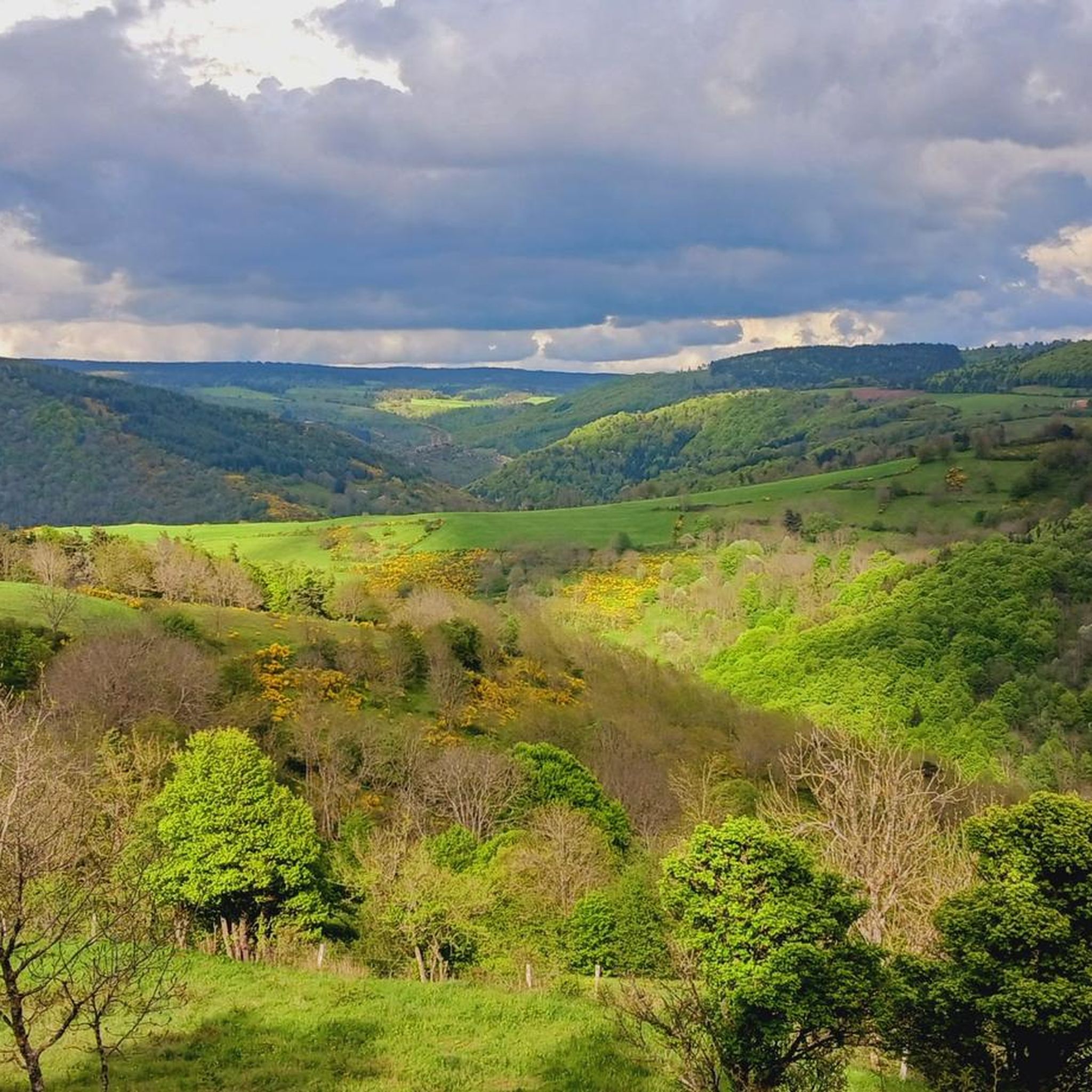
Road Cycling Routes around Bagnols-Les-Bains
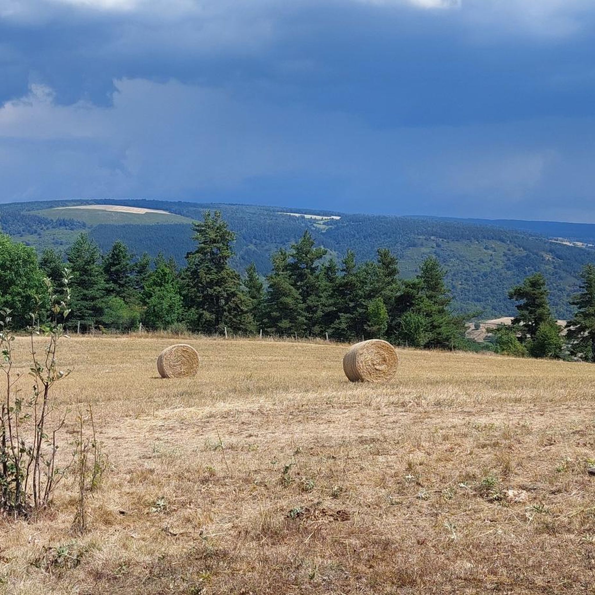
MTB Trails around Bagnols-Les-Bains
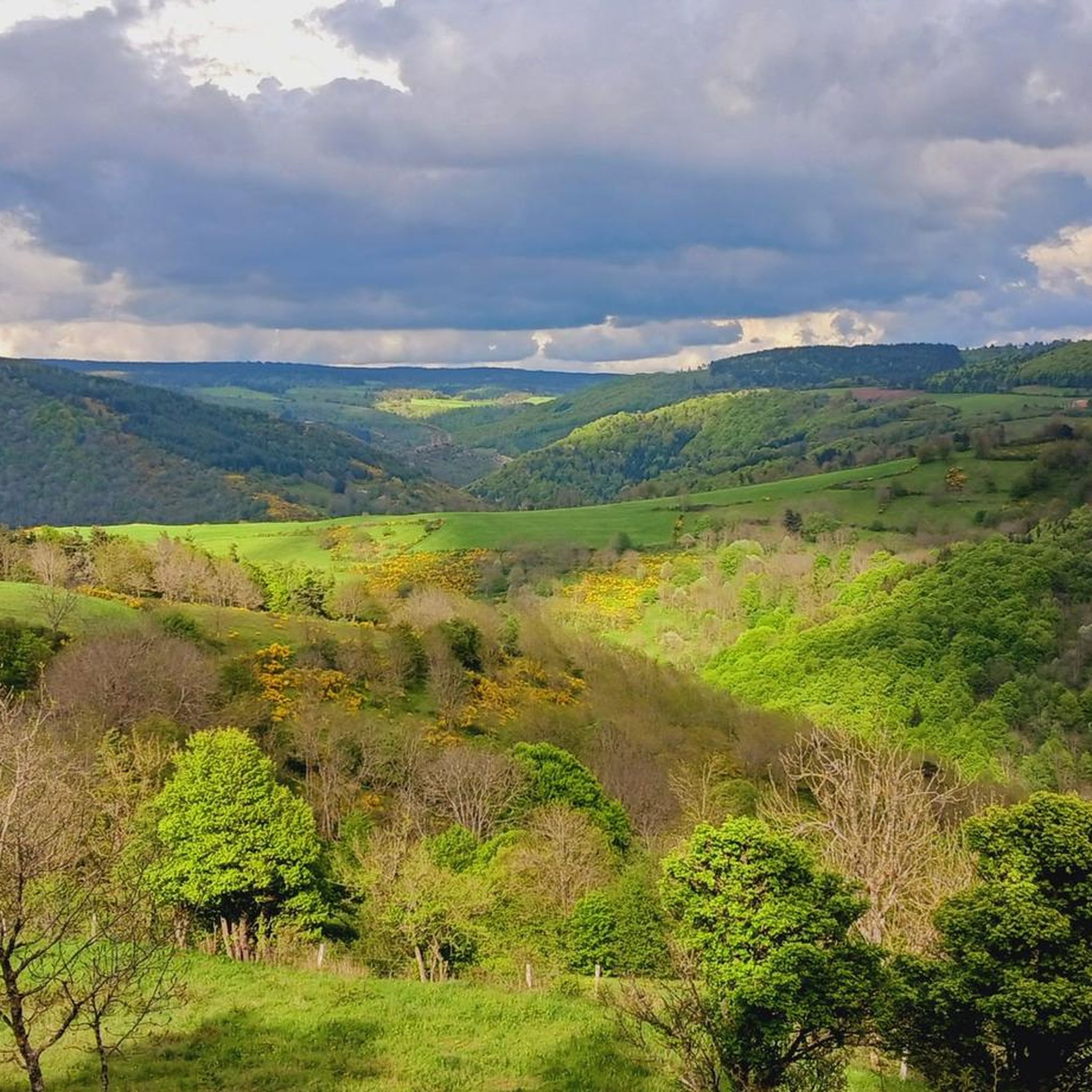
Cycling around Bagnols-Les-Bains
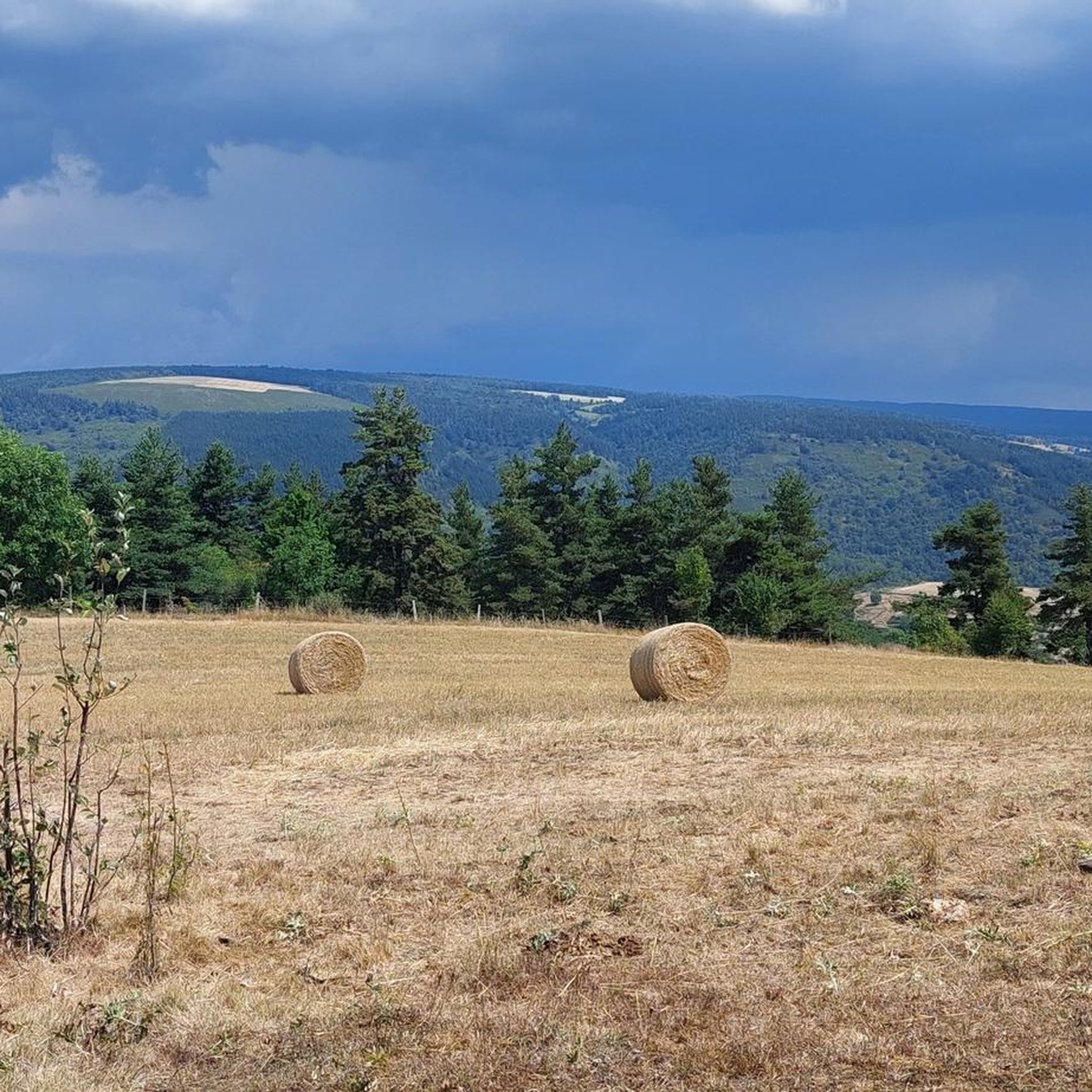
Running Trails around Bagnols-Les-Bains
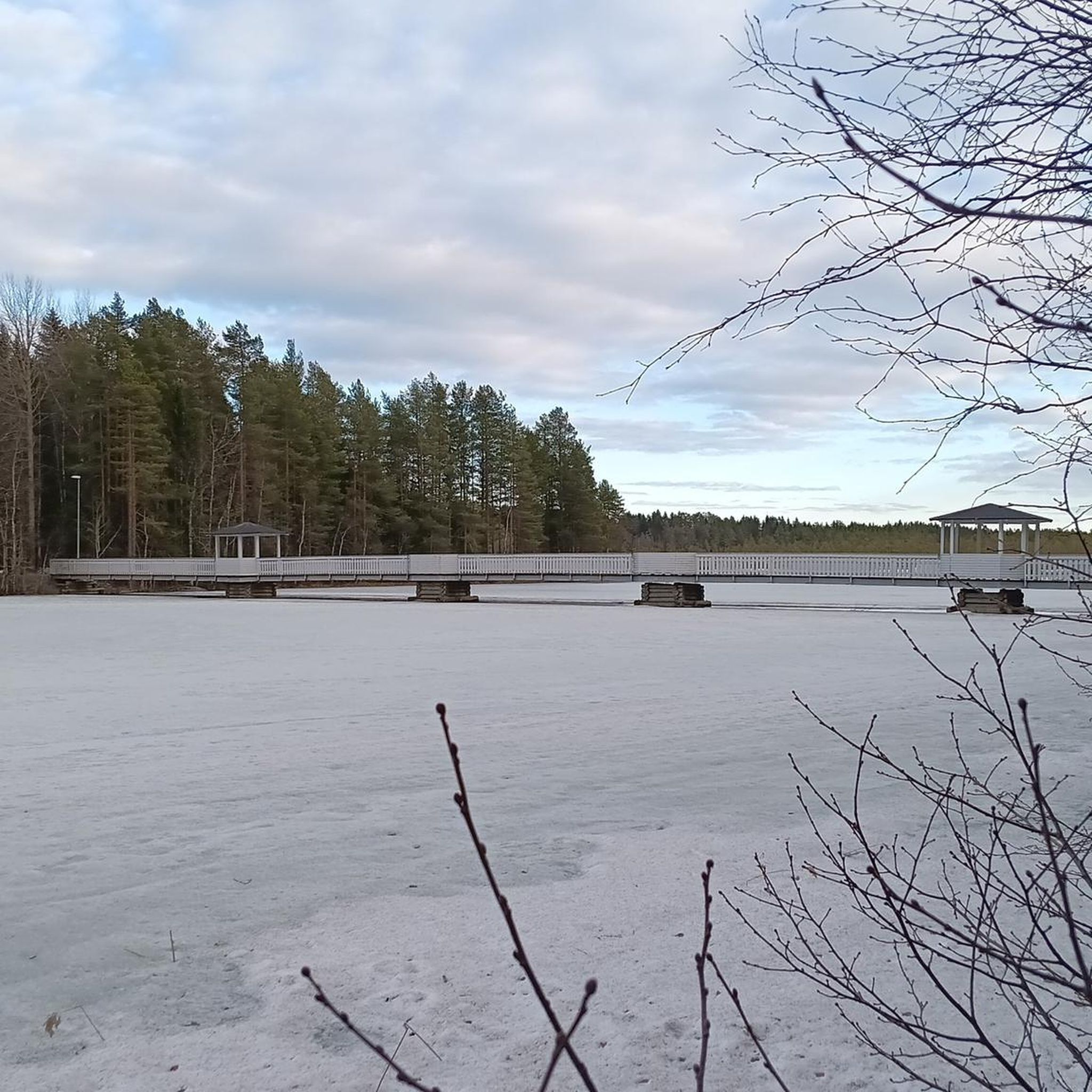
Gravel biking around Bagnols-Les-Bains


Tips from the Community

Nice little pass, okay, absolutely easy from Bleymard. Watershed between the Atlantic and the Mediterranean.
0
0
D41, very small road, relatively little traffic, challenging from both sides but doable.
2
0

The Col de Santel connects a number of paths, including the famous GR 68 which goes around Mont-Lozère. From here you can also reach the Col de Finiels, which is the highest point in the Cévennes.
2
0

A col where it can be deceivingly cold as you're not that high up and you will have worked hard to get up here. Bring a jacket for the descent!
0
0

The Col de la Pierre Plantée has a length of 5.1 kilometers with an elevation gain of 299 meters. The average gradient is 5.86% with maximum gradients of 9.7%.
2
0

Located between the Lot valley and Valdonnez, the Col de la Loubière is 1,181 meters high and six kilometers long with an average gradient of 5.59%. The climb, regardless of its side, is very pleasant and takes place on a small, quiet road.
1
0
This middle category pass has the particularity of being located at the level of the watershed line.
1
0

Between the Lot valley and Valdonner.
1
0
Frequently Asked Questions
What are some of the most notable mountain passes to explore around Bagnols-Les-Bains?
The region offers several distinctive mountain passes. Among them, Loubière Pass is known for its 6-kilometer length and an average gradient of 5.59%, situated between the Lot valley and Valdonner. Another significant pass is Santel Pass, which connects various paths, including the GR 68 around Mont-Lozère, and provides access to the Col de Finiels, the highest point in the Cévennes.
Are there any challenging mountain passes for experienced cyclists or hikers?
Yes, for those seeking a challenge, Col du Goulet is an intermediate mountain pass known for its demanding ascent, offering rewarding views after a strenuous climb. The Pass of the Planted Stone also presents a good challenge, with an average gradient of 5.86% over 5.1 kilometers and maximum gradients reaching 9.7%.
What unique natural features can be found at the mountain passes in this region?
The Col des Tribes and the watershed divide is a particularly interesting spot. This intermediate pass is uniquely located at the watershed line, marking the divide between the Atlantic and the Mediterranean basins.
What is the best time of year to visit the mountain passes around Bagnols-Les-Bains?
The most favorable time to visit is typically from late spring through early autumn (May to October). During these months, the weather is generally milder, and the passes are clear of snow, making them ideal for outdoor activities. Always check local weather conditions before your trip.
What kind of hiking trails are available near these mountain passes?
You'll find a variety of hiking trails, including moderate and difficult options. For example, you can explore routes like the 'The bell towers of Tourmentes' or the 'Tournel Castle – View of Château du Tournel loop'. Many routes offer scenic loops around the area. You can find more details on these and other trails in the Hiking around Bagnols-Les-Bains guide.
Are there options for running or mountain biking near the mountain passes?
Absolutely. The region provides excellent opportunities for both running and mountain biking. For runners, there are moderate to difficult loops such as the 'Running loop from Bagnols-les-Bains'. Mountain bikers can tackle challenging routes like the 'Chemin gravel - extra view – Mont Lozère loop'. Discover more routes in the Running Trails around Bagnols-Les-Bains and MTB Trails around Bagnols-Les-Bains guides.
What should I wear for summer hiking in the mountain passes?
For summer hiking, it's advisable to wear lightweight, breathable clothing that wicks away moisture. Layers are always a good idea, as temperatures can vary, especially at higher elevations. Don't forget sturdy hiking shoes, sun protection (hat, sunglasses, sunscreen), and plenty of water.
What are the winter conditions like on the mountain passes?
During winter, mountain passes around Bagnols-Les-Bains can experience cold temperatures, snow, and ice. Some passes may become impassable or require specialized equipment like snowshoes or skis. It's crucial to check local weather forecasts and road conditions before attempting to visit during winter months.
What do visitors appreciate most about the mountain passes in this area?
Visitors frequently highlight the diverse terrain and the sense of accomplishment after tackling challenging ascents. The scenic views from various viewpoints, such as those found after climbing Col du Goulet, are also highly appreciated. The komoot community has contributed 29 photos and 21 upvotes, reflecting the beauty and appeal of these passes.
Are there any easy-to-access mountain passes suitable for a more relaxed visit?
While many passes offer intermediate challenges, the Col des Tribes and the watershed divide is described as 'absolutely easy from Bleymard,' making it a good option for a more relaxed visit or for those looking for less strenuous exploration.
Most popular routes around Bagnols-Les-Bains
Most popular attractions around Bagnols-Les-Bains

Get inspired with the komoot mobile app


Explore more
See even more epic mountain passes by checking out these guides around Bagnols-Les-Bains:
