Top 6 Mountain Passes around Chadenet
Best mountain passes around Chadenet offer routes through varied terrain in the region. The area features several high-altitude crossings, often connecting different valleys. These passes provide access to the natural landscape, including parts of the Cévennes and Mont Lozère. The topography presents diverse conditions for outdoor activities.
Best mountain passes around Chadenet
- The most popular mountain passes is Loubière Pass, a mountain pass that is 6 kilometers long with an average gradient of 5.59%. It connects the Lot valley…
Last updated: June 26, 2026
Loubière Pass
Highlight • Mountain Pass
Showing Translation
Tip by

Santel Pass
Highlight • Mountain Pass
Translated by Google •
Tip by

Sign up now to discover places like this
Get recommendations on the best single tracks, peaks, & plenty of other exciting outdoor places.
Sign up for free
Col des Tribes and the watershed divide
Highlight • Mountain Pass
Translated by Google •
Tip by
Col du Goulet
Highlight • Mountain Pass
Tip by

Pass of the Planted Stone
Highlight • Mountain Pass
Translated by Google •
Tip by

Sign up for free to discover even more mountain passes around Chadenet.
Sign up for free
Already have an account?
Start today with a free account
Your next adventure awaits.
Login or Signup
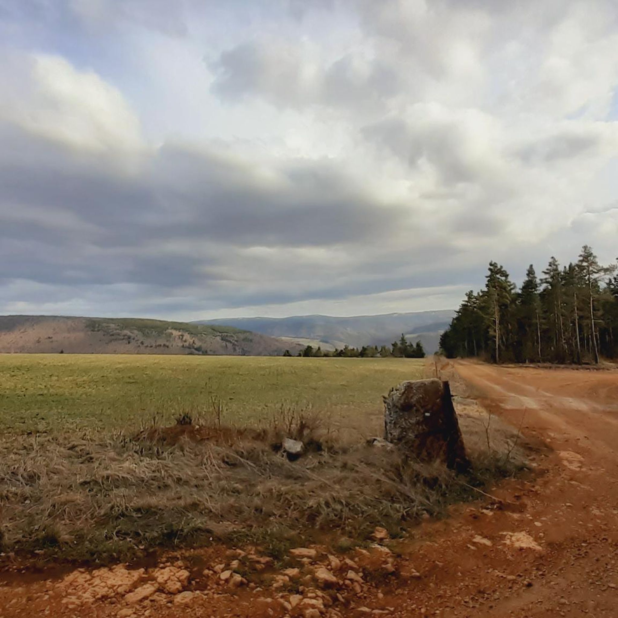
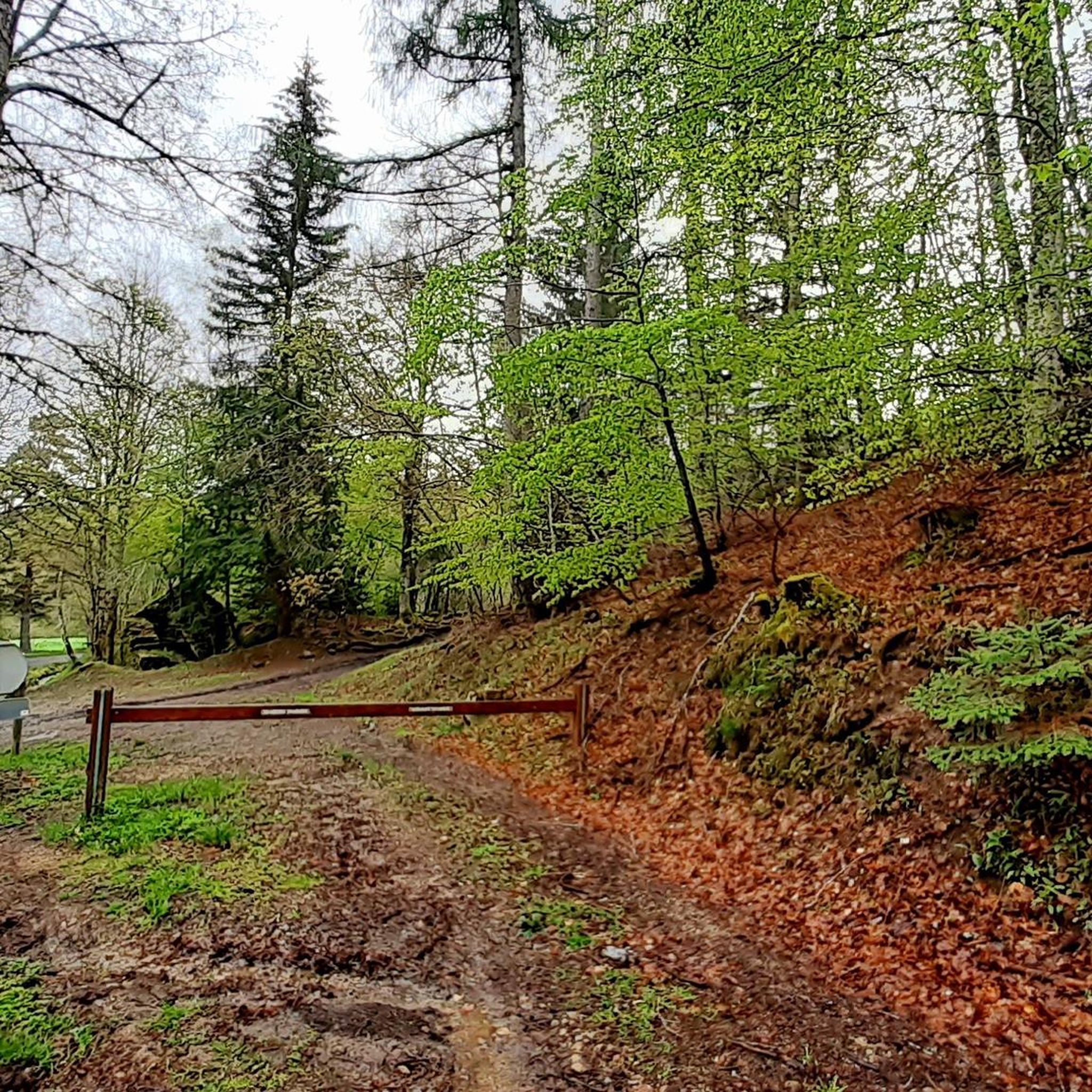
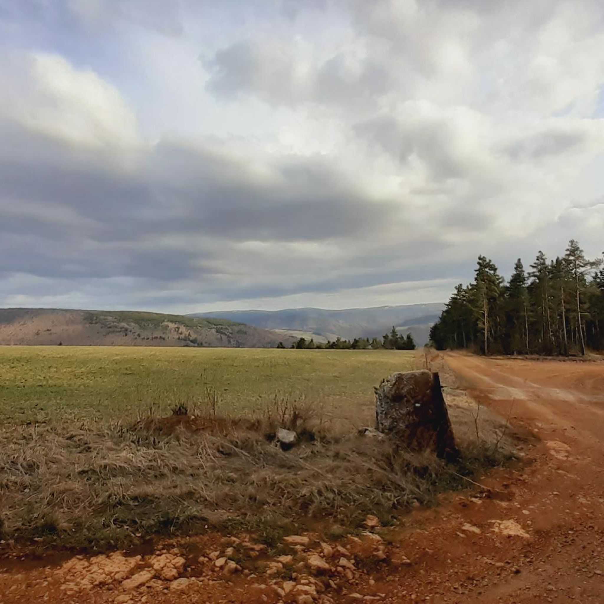
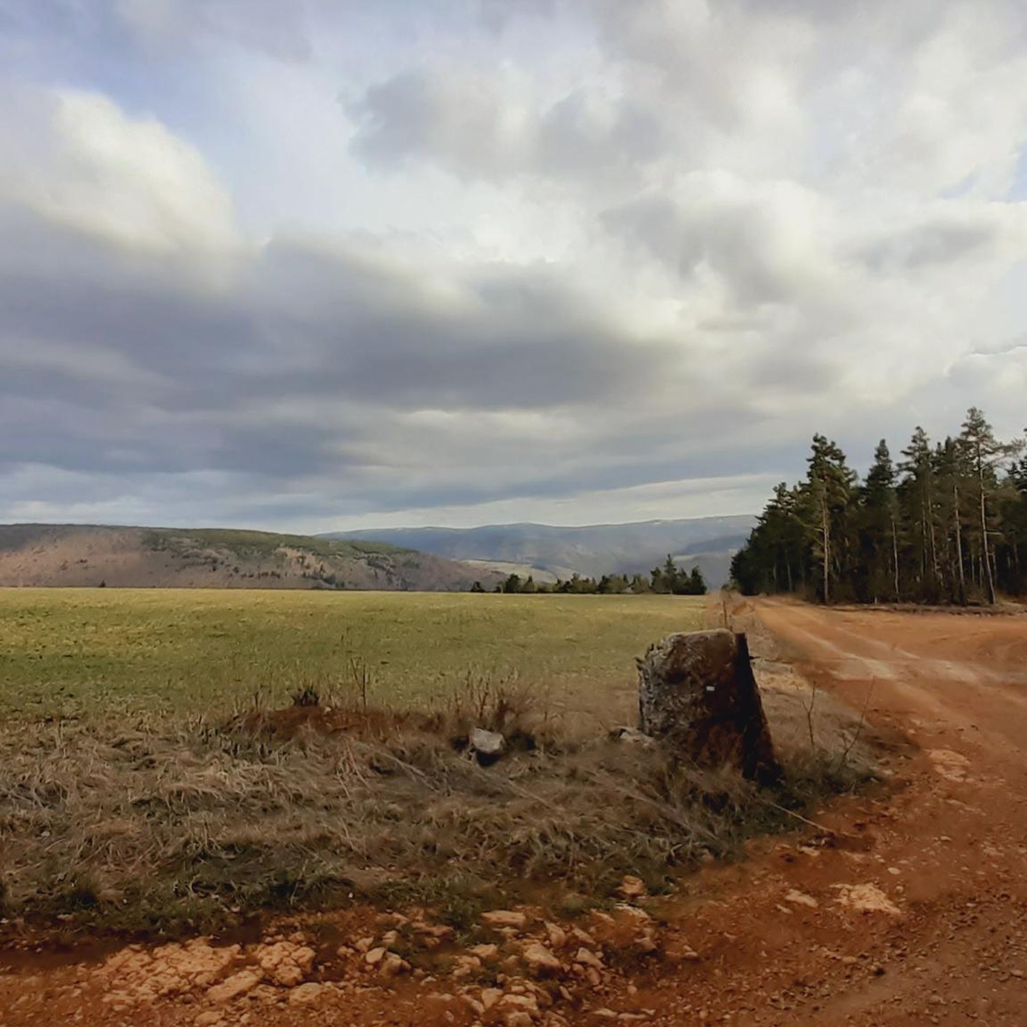
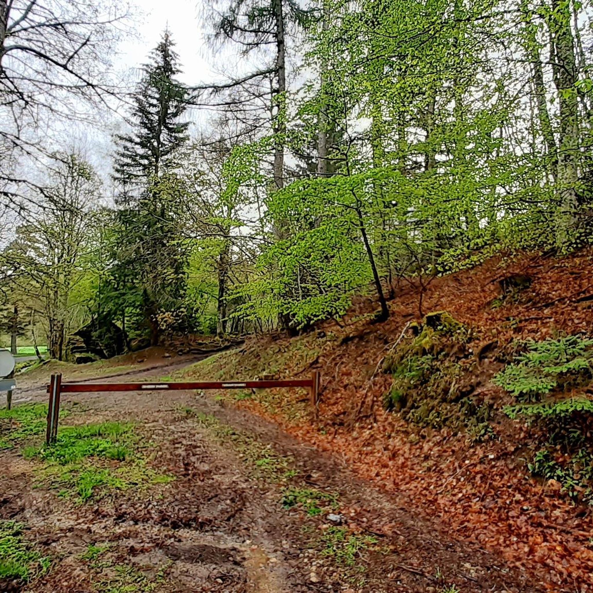
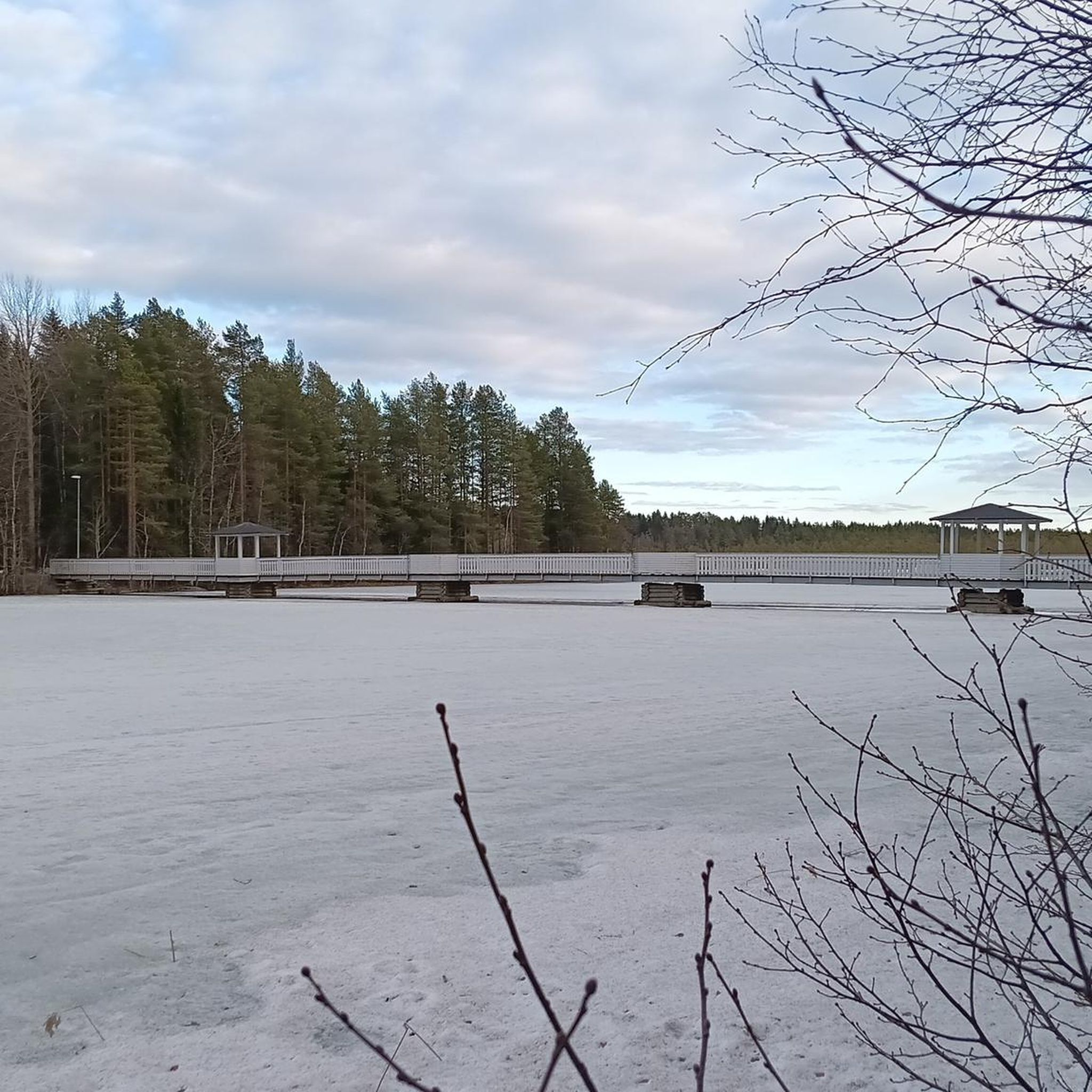
Tips from the Community

Nice little pass, okay, absolutely easy from Bleymard. Watershed between the Atlantic and the Mediterranean.
0
0
D41, very small road, relatively little traffic, challenging from both sides but doable.
2
0

The Col de Santel connects a number of paths, including the famous GR 68 which goes around Mont-Lozère. From here you can also reach the Col de Finiels, which is the highest point in the Cévennes.
2
0

A col where it can be deceivingly cold as you're not that high up and you will have worked hard to get up here. Bring a jacket for the descent!
0
0

The Col de la Pierre Plantée has a length of 5.1 kilometers with an elevation gain of 299 meters. The average gradient is 5.86% with maximum gradients of 9.7%.
2
0

Located between the Lot valley and Valdonnez, the Col de la Loubière is 1,181 meters high and six kilometers long with an average gradient of 5.59%. The climb, regardless of its side, is very pleasant and takes place on a small, quiet road.
1
0
This middle category pass has the particularity of being located at the level of the watershed line.
1
0

Between the Lot valley and Valdonner.
1
0
Frequently Asked Questions
What are some of the most notable mountain passes around Chadenet?
The area around Chadenet features several interesting mountain passes. Among them, Loubière Pass is popular, known for its 6-kilometer length and average gradient of 5.59%. Another significant pass is Santel Pass, which serves as a connection point for various paths, including the GR 68 route around Mont-Lozère. Col du Goulet offers a challenging climb with rewarding views.
What kind of terrain and difficulty can I expect on these mountain passes?
The mountain passes around Chadenet offer varied terrain. For instance, Loubière Pass is described as challenging but navigable, with an average gradient of 5.59%. Col du Goulet involves a climb that requires effort. The Pass of the Planted Stone has an average gradient of 5.86% with maximums of 9.7%. It's advisable to be prepared for ascents and descents.
Are there any specific natural features or viewpoints to look out for on the passes?
Yes, several passes offer notable natural features and viewpoints. Col du Goulet and Loubière Pass are both categorized as viewpoints. Additionally, Col des Tribes and the watershed divide is a unique spot, located at the watershed line between the Atlantic and the Mediterranean, making it a natural monument.
What outdoor activities can I do near the mountain passes around Chadenet?
The region around Chadenet offers a variety of outdoor activities. You can find numerous routes for mountain biking, running, and cycling. For example, there are challenging MTB trails like the 'Lake Charpal loop' and 'Chemin gravel - extra view – Mont Lozère loop'. Running enthusiasts can explore routes like the 'Chadenet church. loop'. Cyclists can tackle demanding routes such as 'Le Pont-de-Montvert – Finiels Pass loop'. You can find more details on these activities in the dedicated guides for MTB Trails around Chadenet, Running Trails around Chadenet, and Cycling around Chadenet.
Are there family-friendly options or trails suitable for beginners around Chadenet's mountain passes?
While some passes like Loubière Pass and Col du Goulet are described as intermediate or requiring effort, the area's diverse topography means there are likely easier sections or alternative routes. For specific family-friendly or beginner trails, it's best to consult detailed route guides for the surrounding area, as the passes themselves often involve significant elevation changes.
What is the best time of year to visit the mountain passes around Chadenet?
The best time to visit the mountain passes around Chadenet generally depends on the activity. Spring and autumn offer pleasant temperatures for hiking and cycling, with vibrant foliage or blooming landscapes. Summer is also popular, though some passes can be exposed. Winter conditions can bring snow and ice, making some routes challenging or inaccessible, especially for passes at higher altitudes like those leading to Col de Finiels from Santel Pass.
Do I need any special permits for hiking or accessing the mountain passes in the Chadenet region?
Generally, for hiking on public trails and accessing mountain passes in the Cévennes National Park area, specific permits are not required for general recreational use. However, it's always good practice to check local regulations, especially if you plan to engage in specific activities or venture into protected zones. Always respect private property and environmental guidelines.
Where can I find parking for accessing the mountain passes around Chadenet?
Parking availability will vary depending on the specific mountain pass and its access points. Many passes, being on roads, will have small pull-offs or designated parking areas nearby. For trails connecting to passes, look for parking at trailheads or in nearby villages. For example, to access routes around Mont-Lozère via Santel Pass, you might find parking in surrounding hamlets or at the start of major hiking routes.
Are there any historical or cultural landmarks associated with these mountain passes?
Yes, some passes have historical or cultural significance. For instance, Col des Tribes and the watershed divide is not only a natural landmark but also a point of historical geographical interest. The region itself, including parts of the Cévennes, has a rich history, and many routes through these passes have been used for centuries, connecting communities and facilitating trade.
What should I bring when visiting the mountain passes around Chadenet?
When visiting the mountain passes, it's always wise to be prepared. For passes like Col du Goulet, a jacket is recommended for descents due to potential temperature drops, even if you don't feel high up. Essential items include appropriate footwear for varied terrain, water, snacks, sun protection, and navigation tools. Depending on the season, layers of clothing are crucial.
Can I bring my dog on the trails around Chadenet's mountain passes?
Many trails in the region, especially those outside strict nature reserves, are generally dog-friendly. However, it's important to keep your dog on a leash, especially in areas with livestock or wildlife, and to clean up after them. Always check specific trail regulations, particularly within the Cévennes National Park, as rules can vary.
Are there cafes, pubs, or accommodation options near the mountain passes?
While the passes themselves are often in natural, less developed areas, you can typically find cafes, pubs, and accommodation in the nearby villages and towns surrounding Chadenet. These establishments cater to hikers and travelers, offering places to rest, refuel, and stay overnight. It's advisable to plan your route and check for amenities in the closest settlements.
Most popular routes around Chadenet
Most popular attractions around Chadenet

Get inspired with the komoot mobile app


Explore more
See even more epic mountain passes by checking out these guides around Chadenet:
