The best road cycling routes around Urville
4.5
(34)
2,046
riders
302
rides
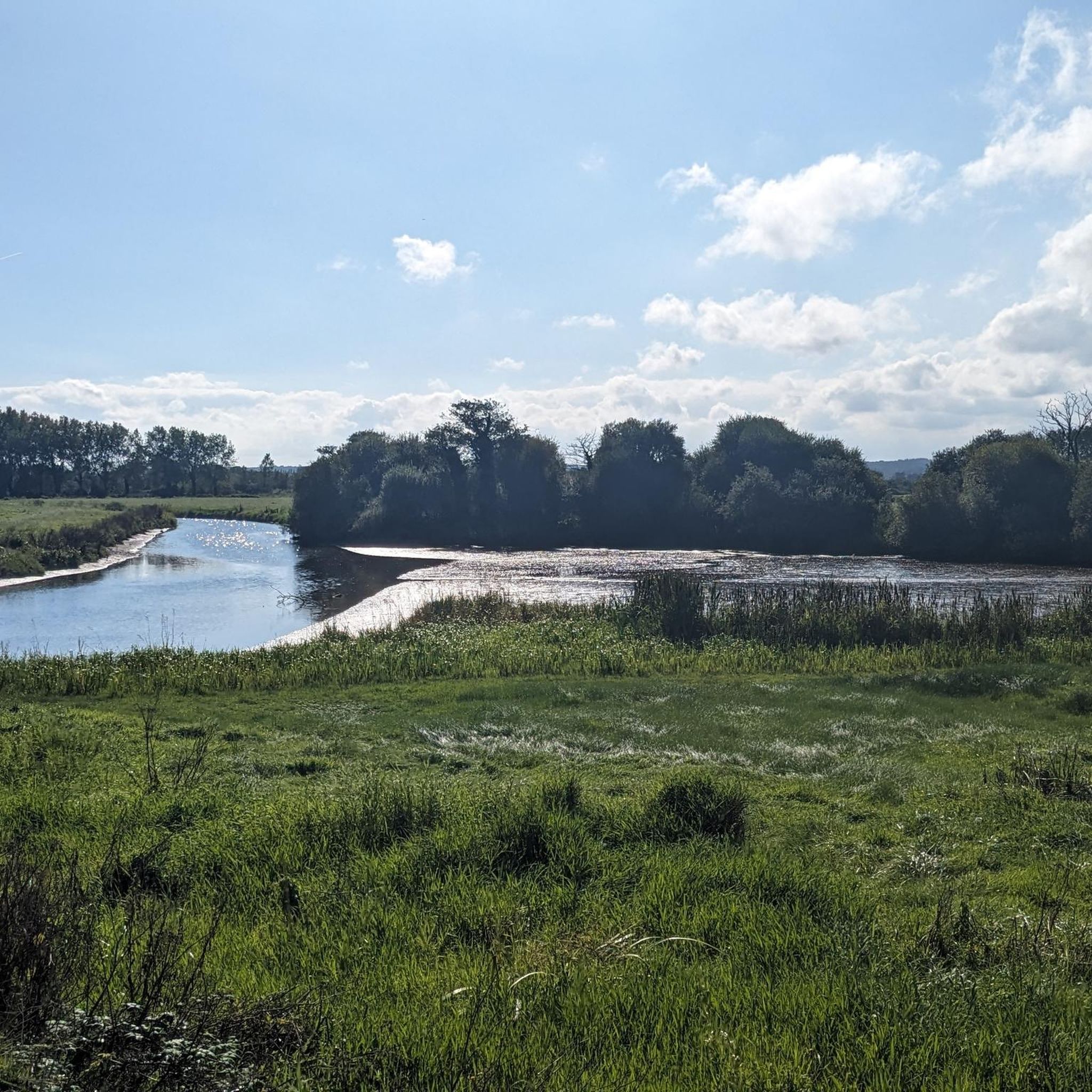
Road cycling routes around Urville traverse a landscape characterized by its proximity to the coast and inland marshlands. The region features gently rolling terrain with moderate elevation gains, making it suitable for various road cycling abilities. Routes often pass through historical sites and offer views of local waterways and agricultural areas. The area provides a network of paved roads connecting small towns and natural features.
Best road cycling routes around Urville
- The most popular road cycling route is Port of…
Last updated: July 5, 2026
5.0
(2)
47
riders
71.9km
02:55
370m
370m
Moderate road ride. Good fitness required. Mostly well-paved surfaces and easy to ride.
25
riders
96.0km
04:15
650m
650m
Moderate road ride. Good fitness required. Some segments of this route may be unpaved and difficult to ride.

Sign up for free
11
riders
Moderate road ride. Good fitness required. Mostly well-paved surfaces and easy to ride.
6
riders
Easy road ride. Great for any fitness level. Mostly well-paved surfaces and easy to ride.
7
riders
48.5km
02:00
270m
270m
Moderate road ride. Good fitness required. Some segments of this route may be unpaved and difficult to ride.
Get access to more routes and recommendations from other explorers.
Sign up for free
Already have an account?
Our route recommendations are based on thousands of hikes, rides, and runs completed by other people on komoot.
Start today with a free account
Your next adventure awaits.
Login or Signup



Tips from the Community

The church became known because a paratrooper was stuck on the church for hours during the invasion.
0
0

To honor the many American paratroopers and infantrymen who lost their lives in this region, a statue named "Iron Mike" was erected there. This statue is similar to the one that can be seen at Fort Bragg (USA), where the 82nd Airborne Division was - and still is - based.
0
0

The hike is beautiful and safe. Except for one major drawback: if you have a dog, be careful because there are several farm properties with dogs running free!! There is a waterfall at the end of the hike.
1
0

Magnificent tour. Not to be missed. Battery well charged. We loved it.
0
0

The old granite harbor is the heart of Barfleur and is still used by small fishing boats.
6
0
A beautiful little fishing village that is worth a visit.
6
0
Sherman tank in front of the AirBorn Museum. In the background is the church, where a doll still symbolizes paratrooper John Steele.
4
0
Frequently Asked Questions
How many road cycling routes are available around Urville?
There are over 300 road cycling routes available around Urville on komoot, catering to various skill levels. This includes 60 easy routes, 232 moderate routes, and 21 difficult routes.
What kind of terrain can I expect on road cycling routes in Urville?
Road cycling routes around Urville feature gently rolling terrain with moderate elevation gains. The landscape is characterized by its proximity to the coast and inland marshlands, often passing through historical sites and offering views of local waterways and agricultural areas.
Are there easy road cycling routes suitable for beginners or casual rides in Urville?
Yes, Urville offers 60 easy road cycling routes. An example is the View of the Marais de la Chuque – Freedom Milestone km 0 loop from Colomby, which is 27.4 miles (44.0 km) long and leads through scenic marshland views.
What are some challenging road cycling routes for experienced cyclists in Urville?
While most routes are moderate, there are 21 difficult routes for experienced cyclists. The region's terrain, with its gently rolling hills and coastal winds, can add to the challenge on longer rides. For a moderate yet substantial ride, consider the Port of Barfleur – Mouth of the Saire loop from Morville, which covers 46.7 miles (75.2 km) with significant elevation.
What can I see along the road cycling routes in Urville?
Many routes offer views of local waterways, agricultural areas, and historical sites. Notable attractions nearby include the historic village of Sainte-Mère-l'Église, and significant WWII sites like the Crisbecq Battery (Saint-Marcouf) and the Azzeville Battery.
Are there any road cycling routes that explore historical sites around Urville?
Absolutely. The region is rich in history. The Abbey Church of the Holy Cross – Saint-Sauveur-le-Vicomte loop from Colomby is a great example, exploring inland areas and connecting historical abbey churches and villages over 41.8 miles (67.3 km).
What is the typical length and duration of road cycling routes in Urville?
Routes vary significantly. For instance, the View of the Marais de la Chuque – Freedom Milestone km 0 loop from Colomby is about 27.4 miles (44.0 km) and takes around 1 hour 45 minutes. Longer routes like the Port of Barfleur – Mouth of the Saire loop from Morville extend to 46.7 miles (75.2 km) and can take over 3 hours.
What do other road cyclists enjoy the most about road cycling in Urville?
The road cycling routes in Urville are highly rated by the komoot community, with an average score of 4.5 stars from over 30 reviews. Cyclists often praise the diverse scenery, which includes coastal paths, marshland landscapes, and historical sites, as well as the well-maintained network of paved roads.
Are there road cycling routes with significant elevation gain around Urville?
While the terrain is generally gently rolling, many routes feature moderate elevation gains. For example, the Abbey Church of the Holy Cross – Saint-Sauveur-le-Vicomte loop from Colomby includes over 400 meters of ascent, providing a good workout for cyclists looking for some climbing.
Are there any road cycling routes that offer views of the coast or waterways?
Yes, many routes in Urville provide beautiful coastal views and pass by local waterways. The Port of Barfleur – Mouth of the Saire loop from Morville is an excellent choice, offering stunning coastal vistas and views of the Saire river mouth.
What is the best time of year for road cycling in Urville?
Given its coastal and marshland characteristics, spring and autumn generally offer pleasant temperatures and fewer crowds, making them ideal for road cycling. Summer can also be enjoyable, though it might be busier. Always check the local weather forecast before heading out.
Can I find loop trails for road cycling in Urville?
Yes, all the featured routes in Urville are designed as loops, allowing you to start and finish at the same point. This includes routes like the Étang du Goulet – Alauna Roman Baths loop from Colomby, which is a moderate 48.4 miles (78.0 km) ride.
Most popular attractions around Urville

Get inspired with the komoot mobile app


Explore more
Browse the best Road cycling routes in other regions.
