The best walks and hikes around Recoules-De-Fumas
4.5
(104)
657
hikers
50
hikes
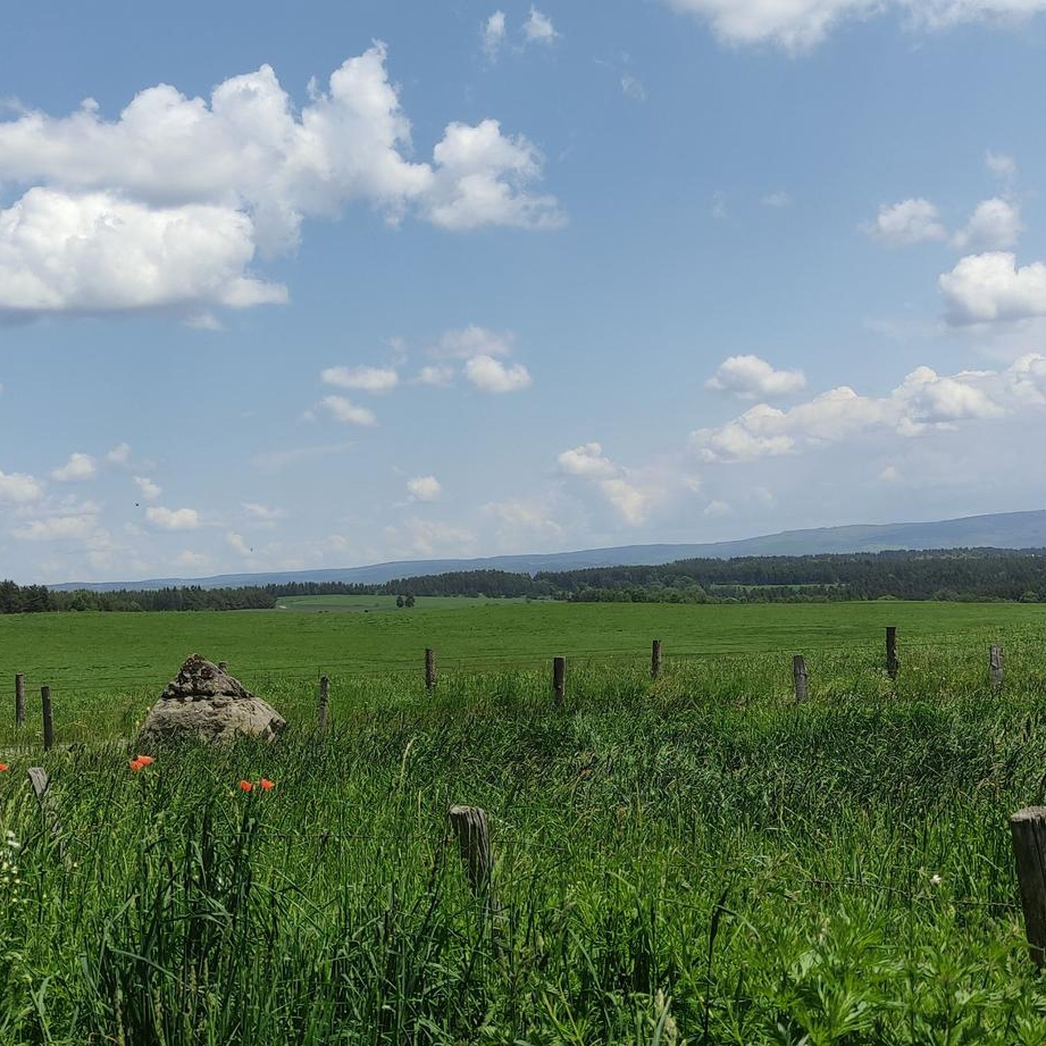
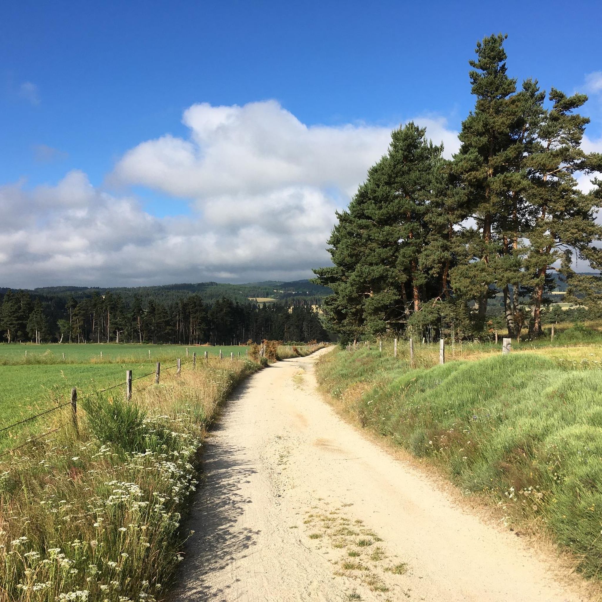
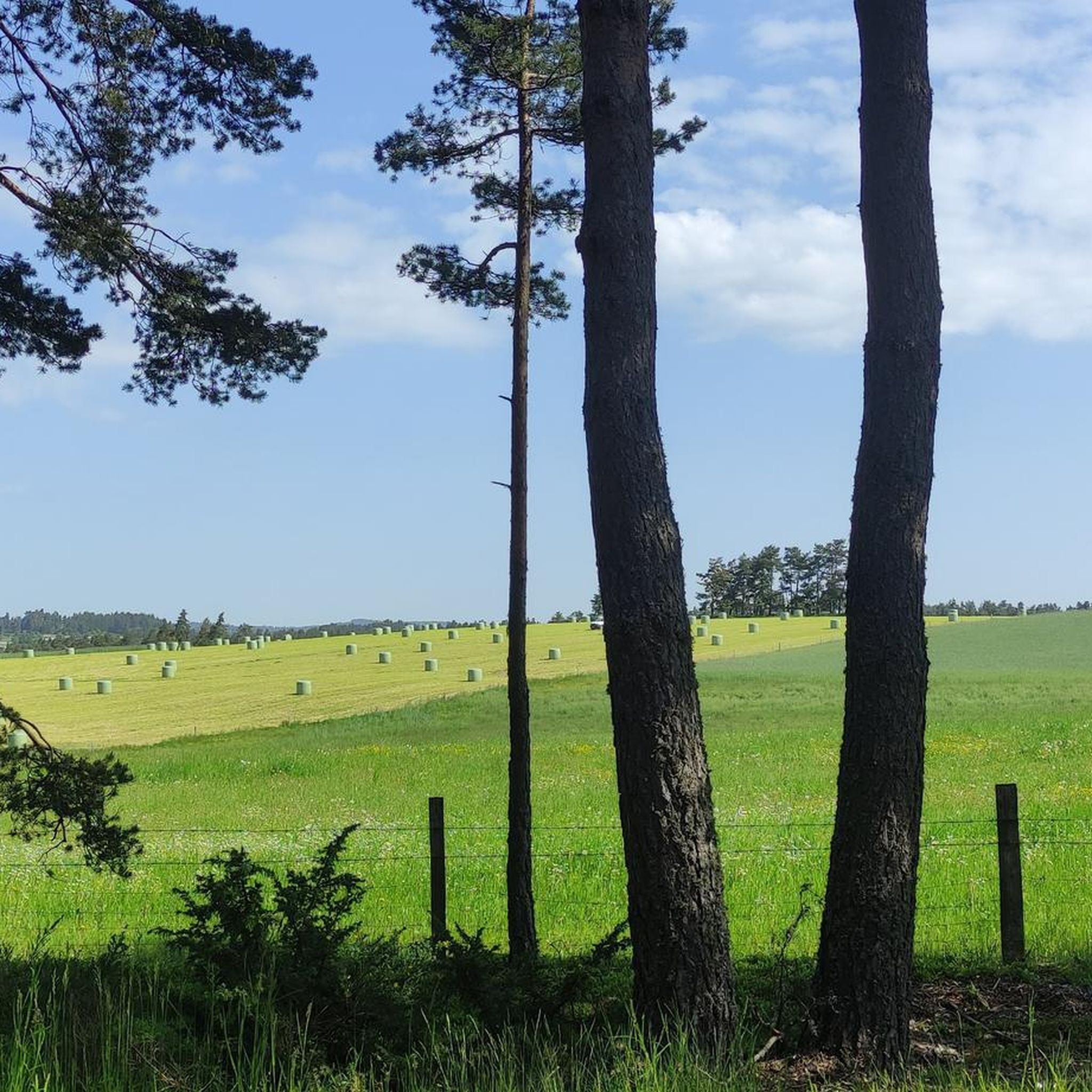
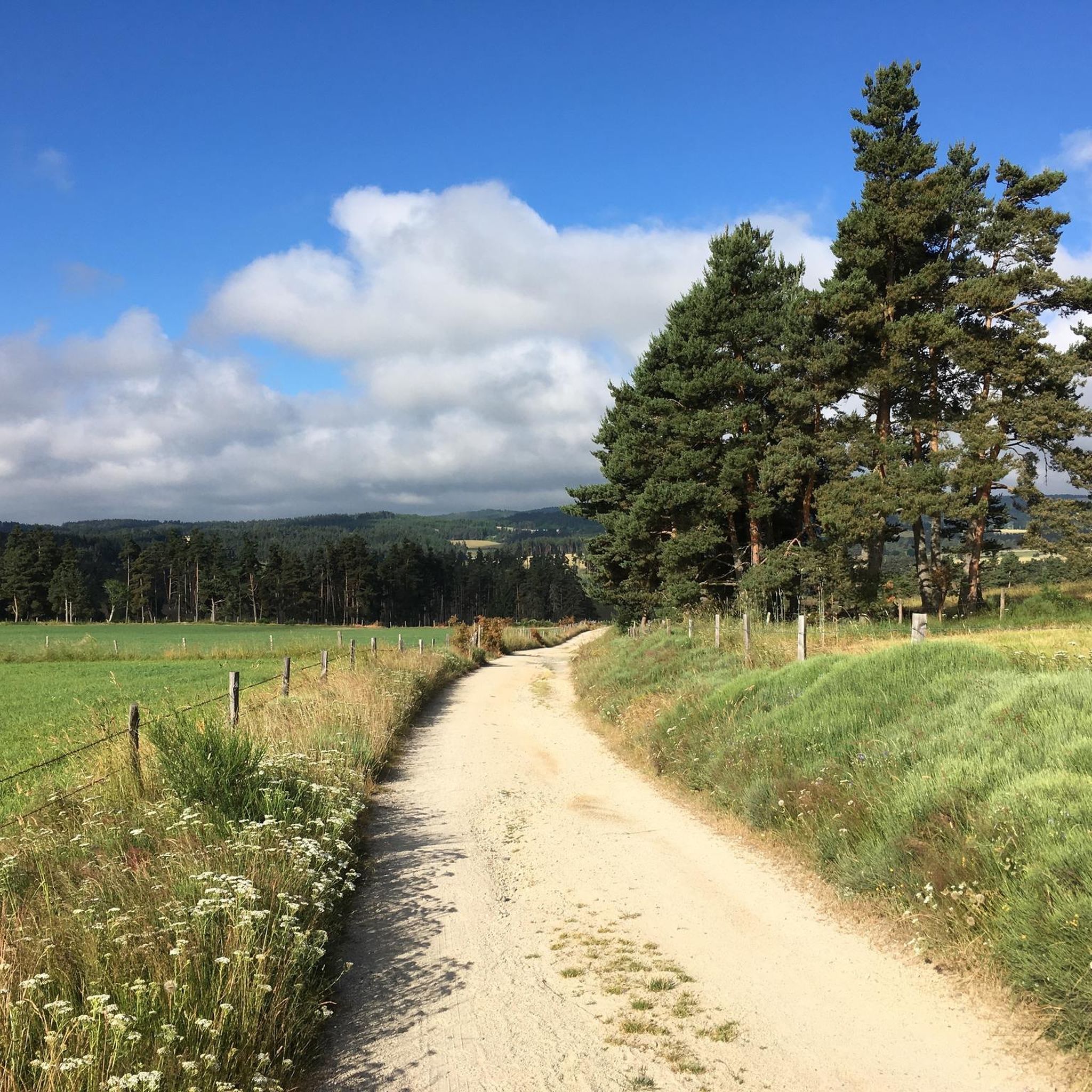
Hiking around Recoules-De-Fumas offers diverse landscapes within the Margeride region, bordering the Aubrac plateau. The area features an average altitude of around 1,000 meters with significant elevation changes. Key natural features include the vast basalt expanse of the Aubrac plateau with its pastures and granite boulders, the verdant valley of the Colagne River, and granitic formations. Several lakes, such as Lac du Moulinet, also contribute to the varied terrain.
Best hiking trails around Recoules-De-Fumas
- The most popular hiking route is…
Last updated: June 29, 2026
5.0
(1)
14
hikers
11.4km
03:19
310m
310m
Moderate hike. Good fitness required. Easily-accessible paths. Suitable for all skill levels.
5.0
(1)
16
hikers
2.27km
00:35
10m
10m
Easy hike. Great for any fitness level. Easily-accessible paths. Suitable for all skill levels.

Sign up for free
4.0
(1)
5
hikers
6.73km
02:20
360m
360m
Moderate hike. Good fitness required. Easily-accessible paths. Suitable for all skill levels.
4.0
(2)
6
hikers
11.5km
03:52
580m
570m
Moderate hike. Good fitness required. Easily-accessible paths. Suitable for all skill levels.
6
hikers
4.34km
01:08
30m
30m
Easy hike. Great for any fitness level. Easily-accessible paths. Suitable for all skill levels.
Get access to more routes and recommendations from other explorers.
Sign up for free
Already have an account?
Our route recommendations are based on thousands of hikes, rides, and runs completed by other people on komoot.
Start today with a free account
Your next adventure awaits.
Login or Signup

Tips from the Community

A beautiful pond where you can cool off on hot days. The equipped beach welcomes you for sunbathing before taking a dip in the cool water.
1
0

Located on the Haute Colagne, on the foothills of the Margeride at an altitude of 1,044m, the artificial lake of Ganivet, like the lake of Charpal, is fed by the Colagne. The lake is remarkable for the small wooded islet located in its center and accessible by swimming. This small shallow lake is home to some pretty brown trout from the Colagne river, as well as gudgeons or minnows.
1
0
Frequently Asked Questions
How many hiking trails are available around Recoules-De-Fumas?
There are over 40 hiking trails available around Recoules-De-Fumas, offering a diverse range of experiences for all skill levels.
Are there easy or beginner-friendly hiking routes in Recoules-De-Fumas?
Yes, Recoules-De-Fumas offers 17 easy hiking routes, perfect for beginners or those looking for a relaxed stroll. These trails often feature gentle gradients and well-maintained paths.
What kind of terrain and natural features can I expect on hikes around Recoules-De-Fumas?
The region is characterized by its wild and untouched nature, typical of Lozère. You'll encounter the vast basalt expanse of the Aubrac plateau with its immense pastures and ancient granite boulders, the verdant valley of the Colagne River, and spectacular granitic formations like the Roc du Pécho. Several beautiful lakes, such as Lac du Moulinet, also contribute to the varied terrain.
What natural landmarks or points of interest can I discover while hiking?
While hiking, you can explore significant natural landmarks such as the Aubrac Highlands and the distinctive Aubrac landscape. For panoramic views, consider routes that pass by Pic de Mus. You might also encounter traditional stone shepherd huts known as 'burons' and ancient crosses.
Are there any circular hiking routes in the area?
Yes, many of the trails around Recoules-De-Fumas are circular, allowing you to start and end at the same point. For example, the Lac du Moulinet loop from Le Buisson is a popular moderate circular route that takes you around the scenic lake.
What is the best time of year to go hiking in Recoules-De-Fumas?
The region is generally best for hiking from spring through autumn. Spring brings blooming wildflowers, while summer offers warm weather for exploring the plateaus and valleys. Autumn provides stunning foliage. Winter hiking is possible but requires appropriate gear due to the average altitude of around 1,000 meters and potential snow.
Are there any long-distance hiking paths that pass through Recoules-De-Fumas?
Yes, Recoules-De-Fumas is integrated into larger historical and pilgrimage routes. You can access sections of the GR 670, also known as the Urbain V path, and other paths leading to Saint Guilhem, which journey across plateaus, Causses, and gorges.
What do other hikers enjoy most about hiking in Recoules-De-Fumas?
The hiking routes in Recoules-De-Fumas are highly rated by the komoot community, with an average score of 4.5 stars from over 100 reviews. Hikers often praise the wild and untouched nature, the diverse landscapes of the Aubrac plateau, and the tranquility of the villages. The well-maintained trails and varied terrain suitable for all levels are also frequently highlighted.
Are there family-friendly hiking options in Recoules-De-Fumas?
Yes, with 17 easy routes available, there are plenty of family-friendly options. These trails are generally shorter and have less elevation gain, making them suitable for children. The scenic beauty, especially around the lakes, provides an enjoyable experience for all ages.
Can I bring my dog on the hiking trails?
Many trails in the Recoules-De-Fumas region are dog-friendly, allowing you to enjoy the natural beauty with your canine companion. However, it's always recommended to keep dogs on a leash, especially in areas with livestock or protected wildlife, and to check specific trail regulations before you go.
Are there opportunities for wild swimming or fishing near the hiking routes?
The region's rivers and lakes, such as Lac du Moulinet, Lac de Charpal, and Lac de Ganivet, provide opportunities for fishing. While specific wild swimming spots are not explicitly designated, the numerous water bodies offer tranquil settings that might be suitable for a refreshing dip, always exercising caution and respecting local regulations.
Are there any specific routes that offer good viewpoints?
Routes exploring the granitic geology, such as the Roc de Peyre loop from Saint-Sauveur-de-Peyre, often provide excellent viewpoints of the distinctive rock formations and surrounding landscapes. Additionally, trails leading through the expansive Aubrac plateau, like the Pic de Mus loop from Le Buisson, offer broad vistas of the region's natural beauty.
What wildlife and flora might I encounter on the trails?
The wild and untouched nature of Recoules-De-Fumas means you can encounter diverse flora and fauna. The Aubrac plateau is known for its unique plant life and the iconic Aubrac cattle. Nearby attractions like the European Bison Reserve of Sainte-Eulalie and the Gévaudun Wolf Park suggest a rich wildlife presence in the broader region, though direct sightings on trails may vary.
Most popular routes around Recoules-De-Fumas
Most popular attractions around Recoules-De-Fumas

Get inspired with the komoot mobile app


Explore more
Browse the best Hikes in other regions.
