The best running trails around Saint-Martin-De-Lansuscle
5.0
(2)
203
runners
31
runs
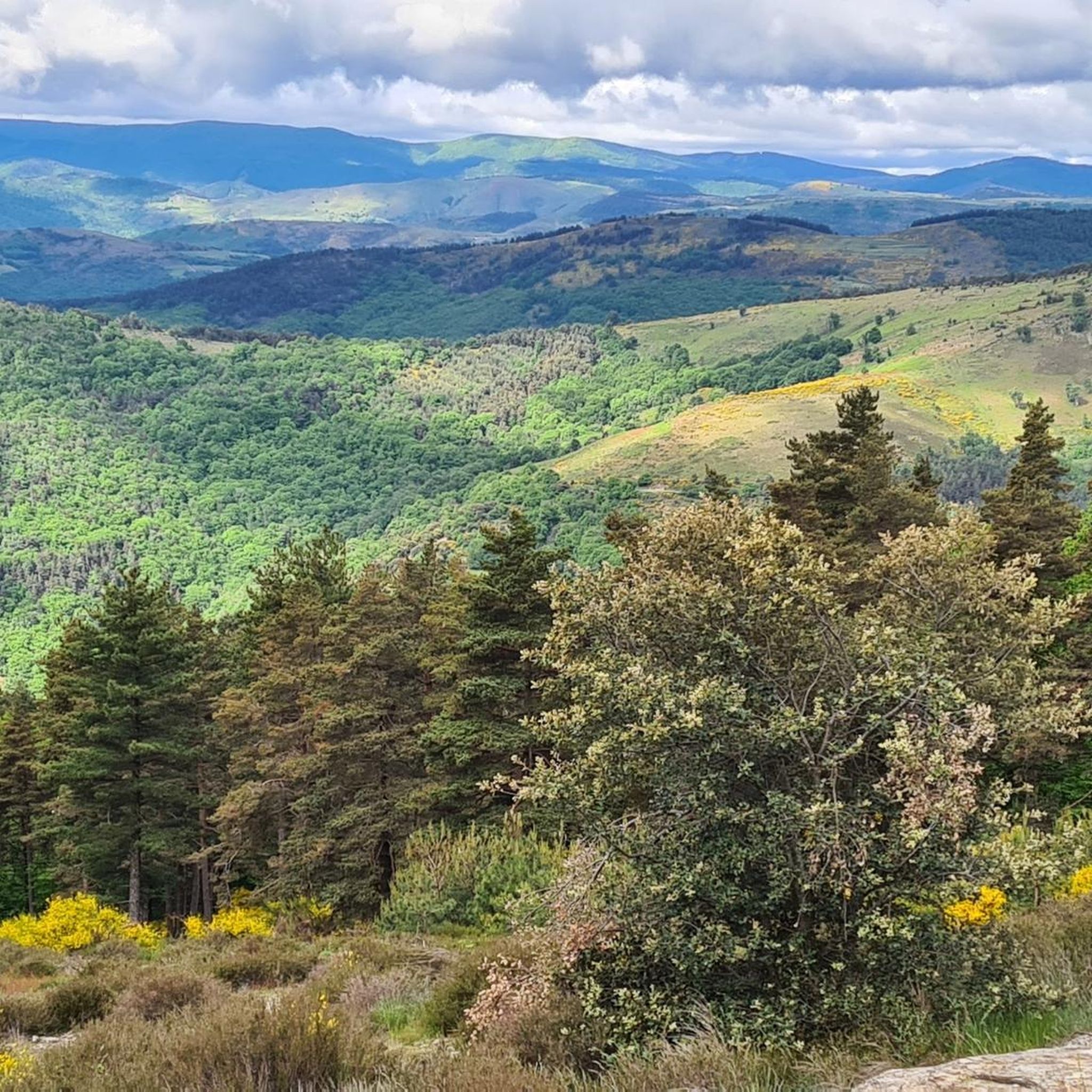
Jogging routes around Saint-Martin-De-Lansuscle traverse the varied terrain of the Cévennes National Park, characterized by its hills, valleys, and extensive woodlands. The region offers a mix of established greenways and more rugged trails. Runners can expect paths that wind through natural landscapes, providing opportunities for both short, brisk runs and longer, more challenging endurance efforts.
Best jogging routes around Saint-Martin-De-Lansuscle
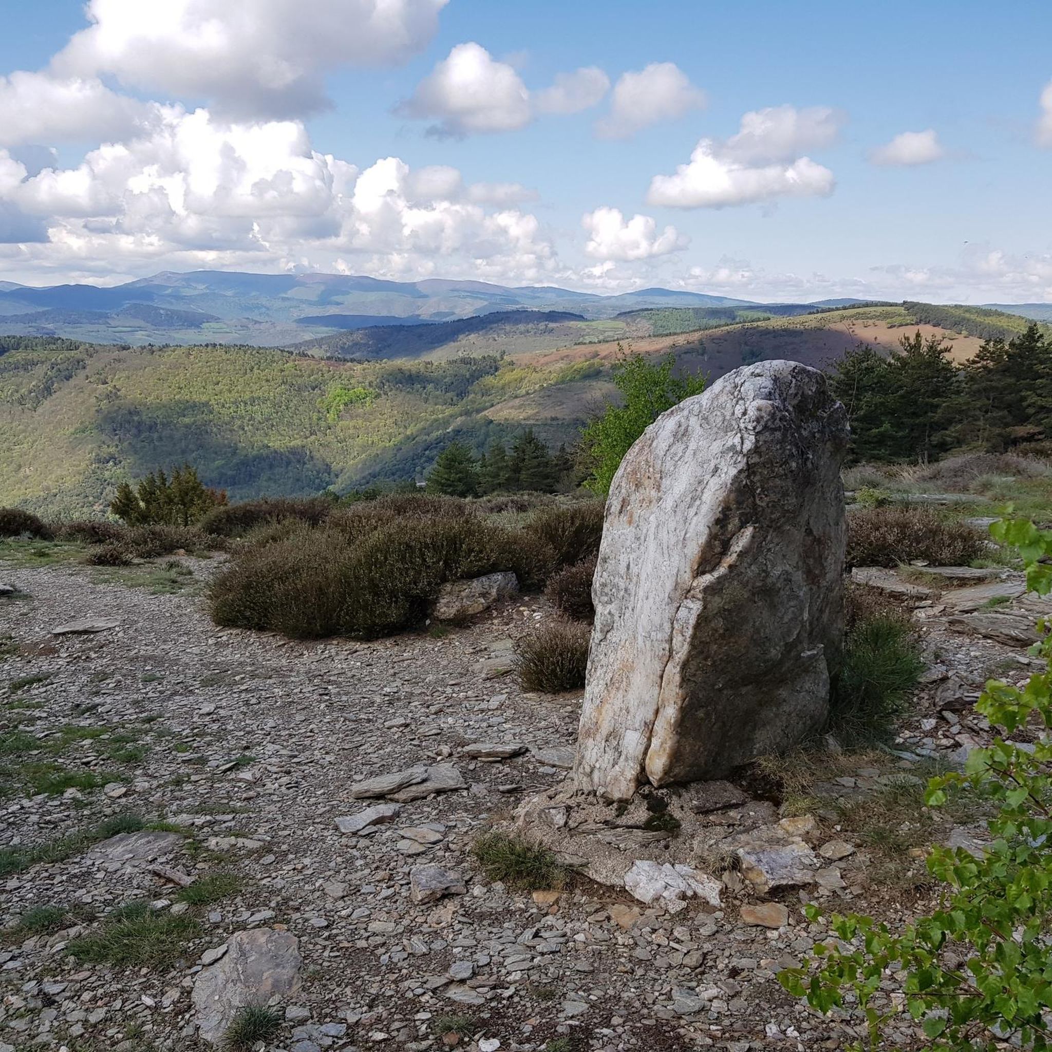
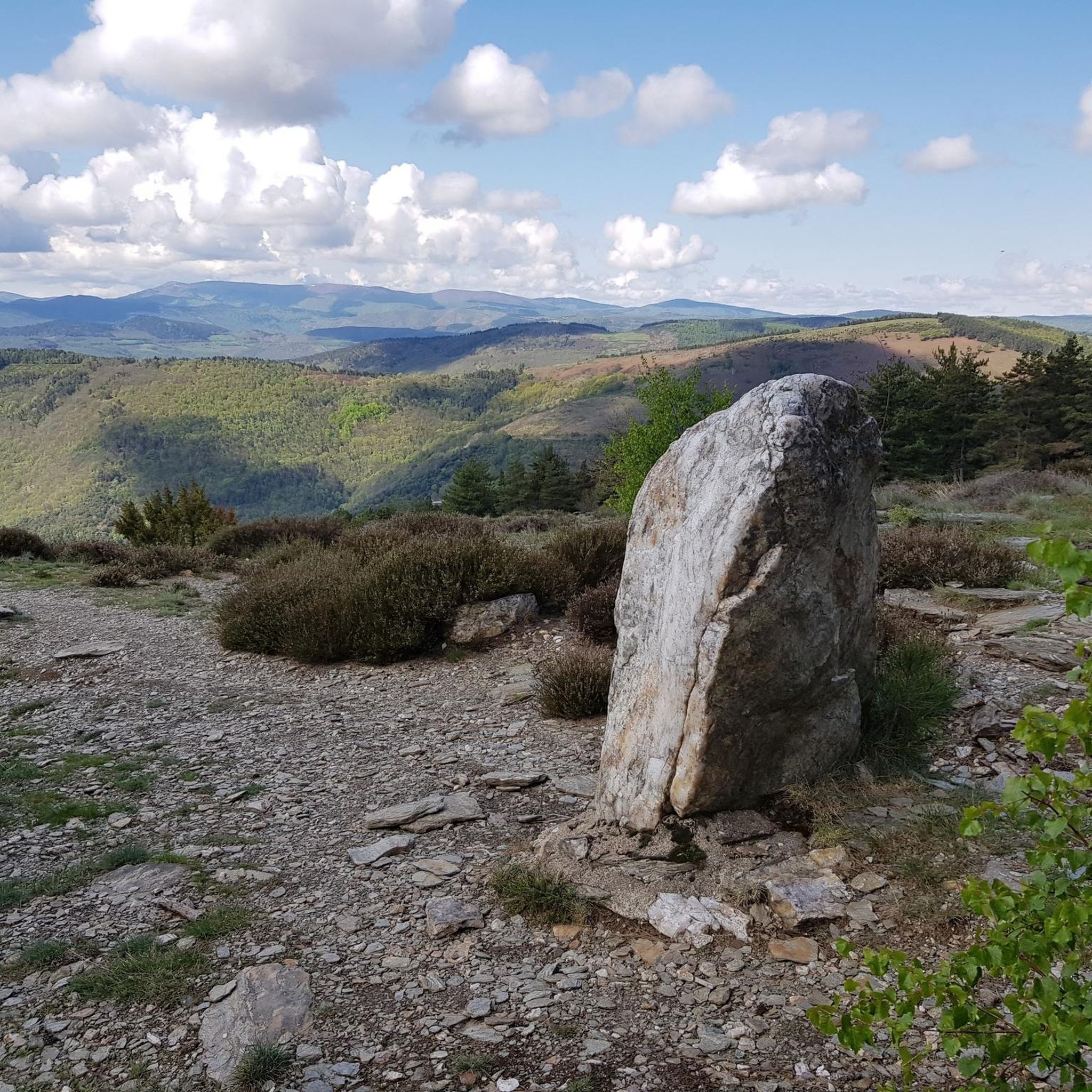
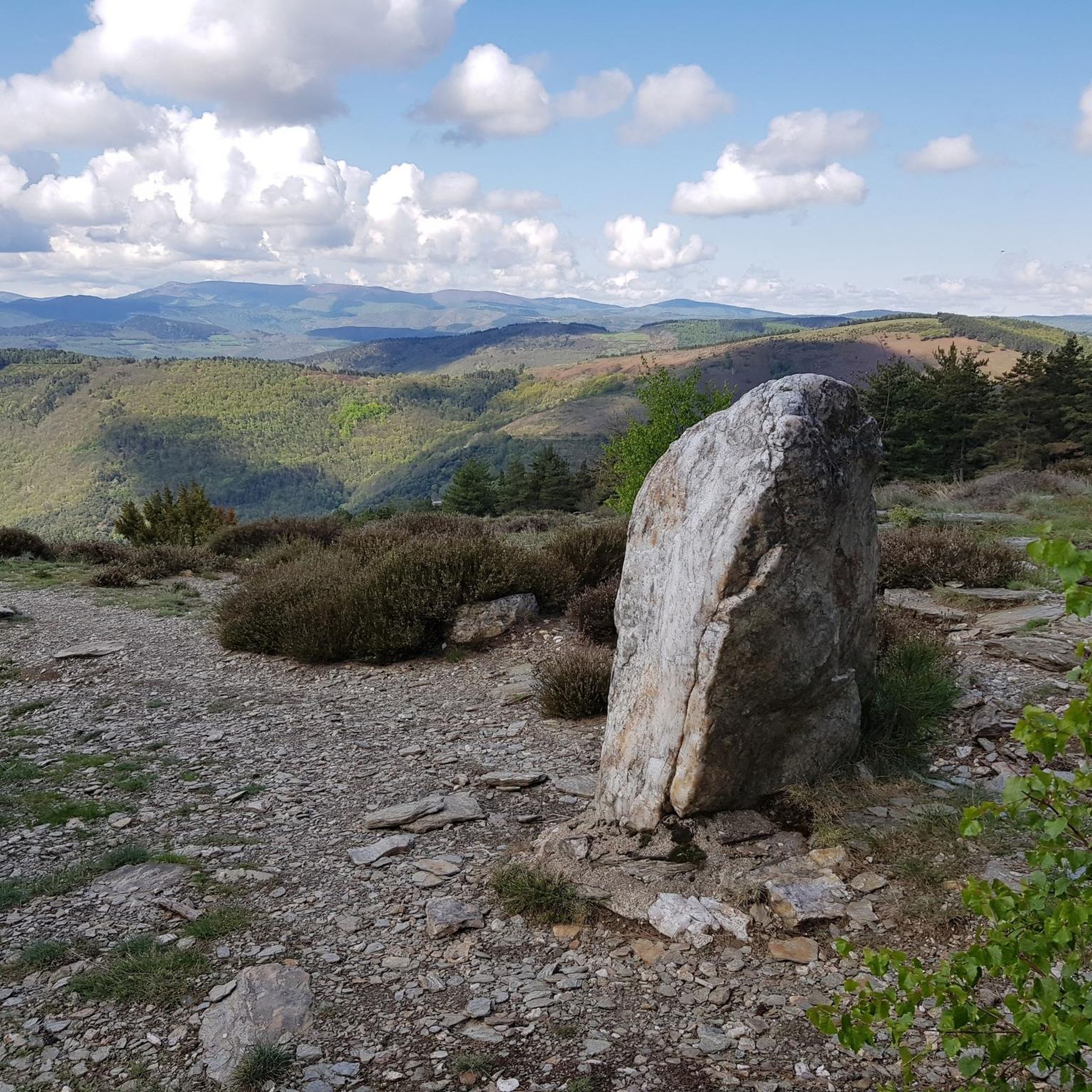
- The most popular jogging route is Roc de Galta – trail loop starting from Serre de la Can – Cévennes…
Last updated: October 11, 2026
7
runners
Hard run. Good fitness required. Sure-footedness, sturdy shoes and alpine experience required.
6
runners
11.2km
01:32
400m
400m
Hard run. Very good fitness required. Mostly paved surfaces. Suitable for all skill levels.

7
runners
14.3km
01:31
140m
140m
Moderate run. Good fitness required. Mostly paved surfaces. Suitable for all skill levels.
6
runners
12.9km
01:36
440m
440m
Hard run. Very good fitness required. Mostly paved surfaces. Suitable for all skill levels.
5
runners
6.44km
00:43
160m
160m
Moderate run. Good fitness required. Mostly paved surfaces. Suitable for all skill levels.
Get access to more routes and recommendations from other explorers.
Already have an account?
Our route recommendations are based on thousands of hikes, rides, and runs completed by other people on komoot.
Start today with a free account
Your next adventure awaits.

Other adventures around Saint-Martin-De-Lansuscle

Tips from the Community


fantastic tunnels, it feels like a movie
1
0

This village which is in the heart of the Cévennes national park is the ideal place to take a break. The fountain offers you good spring water, come and drink from it before walking along the main street of the village. The landscapes surrounding the town well represent the wild beauty of this Cévennes country.
0
0

One of the passes on the Corniche des Cévennes - unfortunately the viewpoints up here are overgrown so that the views are no longer ideal...
0
0

The Roc de Galta offers magnificent views of the Cévennes, from Mont Aigoual in the southwest to Mont Lozère in the north.
0
0
In place of the old Cassagnas station is the Espace Stevenson. This establishment offers restaurants and hotels. You will indeed find accommodation. The accommodation options range from camping to stopover accommodation, including bed and breakfast. Espace Stevenson is on the GR 70 and attracts many hikers. Its location on the banks of the Mimente river is ideal for rest.
0
0
This village which is in the heart of the Cévennes national park is the ideal place to take a break. The fountain offers you good spring water, come and drink there before walking down the main street of the village. The landscapes that surround the town represent the wild beauty of this Cévennes country.
2
0
This superb greenway extends over approximately 50 kilometers between Florac in Lozère, to Sainte-Cécile d'Andorge in the Gard department. It follows the route of an old railway line, so you have passages in tunnels (they are lit). The scenery along the way is stunning. It oscillates between views of the Cévennes mountains and the torrents. You can easily reach the rivers by leaving the track. It is ideal for cooling off.
1
1
Frequently Asked Questions
How many running routes are available around Saint-Martin-De-Lansuscle?
There are over 30 dedicated running routes around Saint-Martin-De-Lansuscle, offering a wide range of options for different fitness levels and preferences. The majority of these routes are considered difficult, with a few moderate and easy options available.
Are there any easy jogging routes for beginners in Saint-Martin-De-Lansuscle?
While many routes in the area are challenging, there is at least one easy jogging route available. For those looking for a slightly less strenuous option, the Cévennes Greenway loop from Cassagnas is a moderate 8.9-mile (14.3 km) path that offers a more accessible experience.
What kind of terrain can I expect on running trails in Saint-Martin-De-Lansuscle?
Running routes around Saint-Martin-De-Lansuscle primarily traverse the varied terrain of the Cévennes National Park. You can expect paths that wind through hills, valleys, and extensive woodlands, with a mix of established greenways and more rugged trails. This means a good blend of natural surfaces and some paved sections.
Are there any circular running routes in the Saint-Martin-De-Lansuscle area?
Yes, many of the running routes in Saint-Martin-De-Lansuscle are circular, allowing you to start and finish at the same point. An example is the Roc de Galta – trail loop starting from Serre de la Can, which is a challenging 3.5-mile (5.6 km) loop within the Cévennes National Park.
What are some scenic viewpoints or attractions I can see while jogging?
Many running routes offer stunning views and pass by interesting landmarks. You might encounter viewpoints like La Can de l’Hospitalet or the Signal de Saint-Pierre Orientation Table. Historical sites such as the Menhir at the Col de la Pierre Plantée and the Old Gardon Canal are also accessible near some trails.
Are there long-distance running options in Saint-Martin-De-Lansuscle?
Absolutely. For endurance runners, the region offers several longer routes. The Cévennes Greenway – Claroudens Dolmen loop from Cassagnas is a challenging 26.2-mile (42.2 km) path, perfect for a longer run, following a section of the historic Cévennes Greenway.
What do other runners say about the trails in Saint-Martin-De-Lansuscle?
The running trails in Saint-Martin-De-Lansuscle are highly regarded by the komoot community, having received a perfect 5.0-star rating from its first reviewer. Over 180 runners have already explored the varied terrain, appreciating the natural landscapes and challenging options available.
Can I find running routes that pass through towns or villages?
Yes, some routes offer a mix of natural landscapes and village passages. For instance, the Running loop from Saint-André-de-Lancize leads through the local countryside, potentially offering glimpses of local life and amenities in nearby settlements.
Are there any specific routes known for their historical significance?
The region is rich in history. The Cévennes Greenway – Claroudens Dolmen loop from Cassagnas, for example, passes historical dolmens, offering a chance to connect with the ancient past while you run.
What is the typical difficulty level of running routes in this area?
The majority of running routes around Saint-Martin-De-Lansuscle are classified as difficult, making them suitable for experienced runners or those looking for a significant challenge. There are also moderate options, but beginners should look for specific easy trails.
Are there any routes that offer significant elevation gain for training?
Yes, given the region's hilly terrain within the Cévennes National Park, many routes feature substantial elevation changes. The Col de l'Exil (704 m) – Exile Pass loop from Moissac-Vallée-Française, for example, includes over 440 meters of ascent, providing an excellent workout for hill training.
Most popular routes around Saint-Martin-De-Lansuscle
Most popular attractions around Saint-Martin-De-Lansuscle

Get inspired with the komoot mobile app


Explore more
Browse the best Running Trails & Routes in other regions.
