The best walks and hikes around Argenvières
4.4
(50)
266
hikers
90
hikes
Hiking around Argenvières offers routes through gently rolling terrain and along historical paths. The area features low elevation changes, making many trails accessible for various fitness levels. Paths often connect cultural points of interest and provide views of the local countryside. The hiking trails around Argenvières are generally characterized by their moderate gradients.
Best hiking trails around Argenvières
- The most popular hiking route is In the Wheel of Albert Bourlon Trail, a 7.9 miles (12.7 km) trail that takes…
Last updated: July 6, 2026
4.0
(5)
16
hikers
12.7km
03:15
50m
50m
Moderate hike. Good fitness required. Easily-accessible paths. Suitable for all skill levels.
4.6
(13)
27
hikers
11.3km
03:04
160m
160m
Moderate hike. Good fitness required. Easily-accessible paths. Suitable for all skill levels.

Sign up for free
5.0
(1)
8
hikers
4.50km
01:11
40m
40m
Easy hike. Great for any fitness level. Easily-accessible paths. Suitable for all skill levels.
4.0
(2)
7
hikers
12.2km
03:05
20m
20m
Moderate hike. Good fitness required. Easily-accessible paths. Suitable for all skill levels.
4.0
(2)
5
hikers
Easy hike. Great for any fitness level. Easily-accessible paths. Suitable for all skill levels.
Get access to more routes and recommendations from other explorers.
Sign up for free
Already have an account?
Our route recommendations are based on thousands of hikes, rides, and runs completed by other people on komoot.
Start today with a free account
Your next adventure awaits.
Login or Signup
Tips from the Community

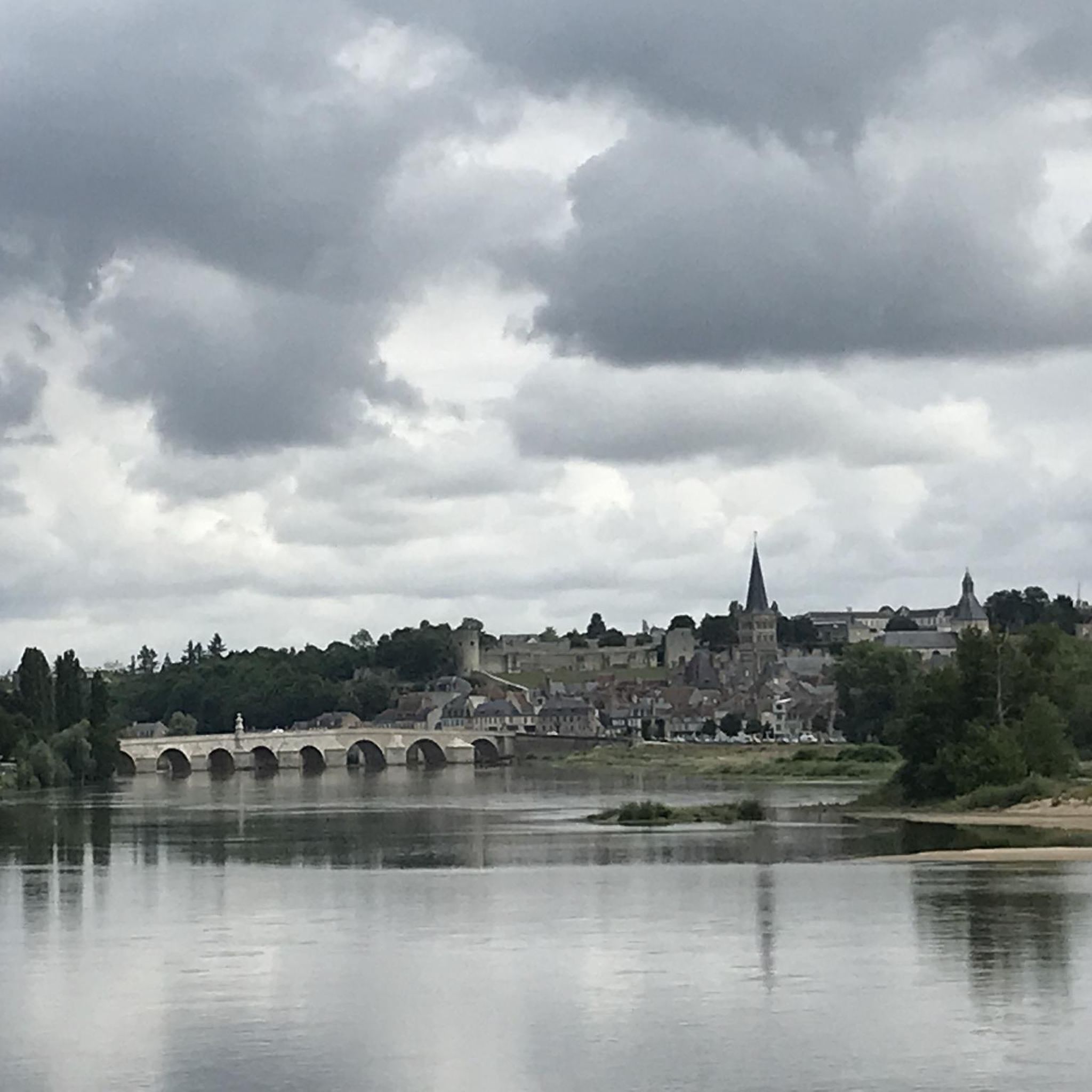
Very nice starting point to explore Nevers or Sancerre.
1
0

It's not an exceptional site but pretty all the same, however we were very disappointed by the rest of the route. The countryside is not great in this part of France, there are a lot of cars on the roads.
0
0


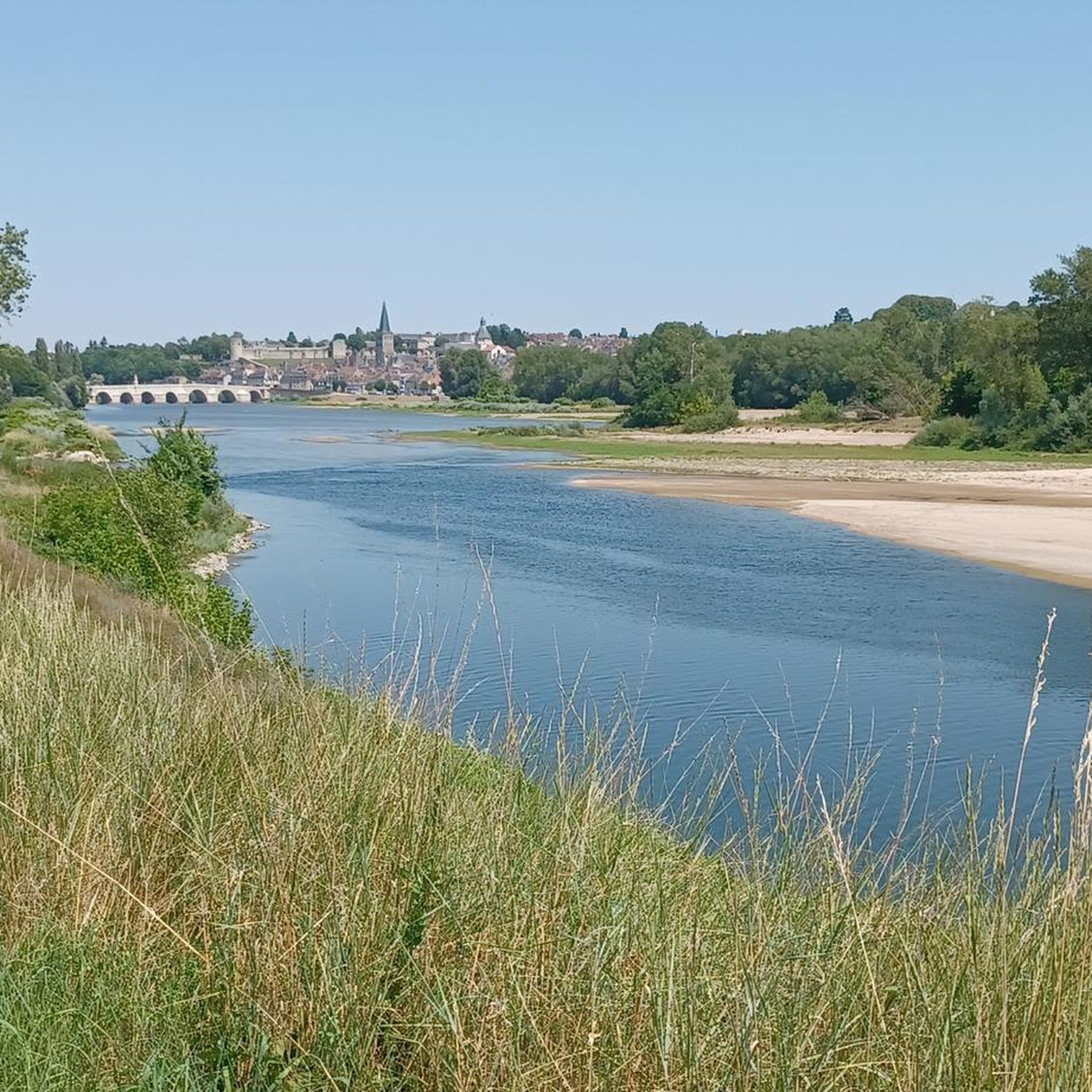
Beautiful town on the Way of St. James on the Loire
2
0

Charming little town, worth a stop!
0
0

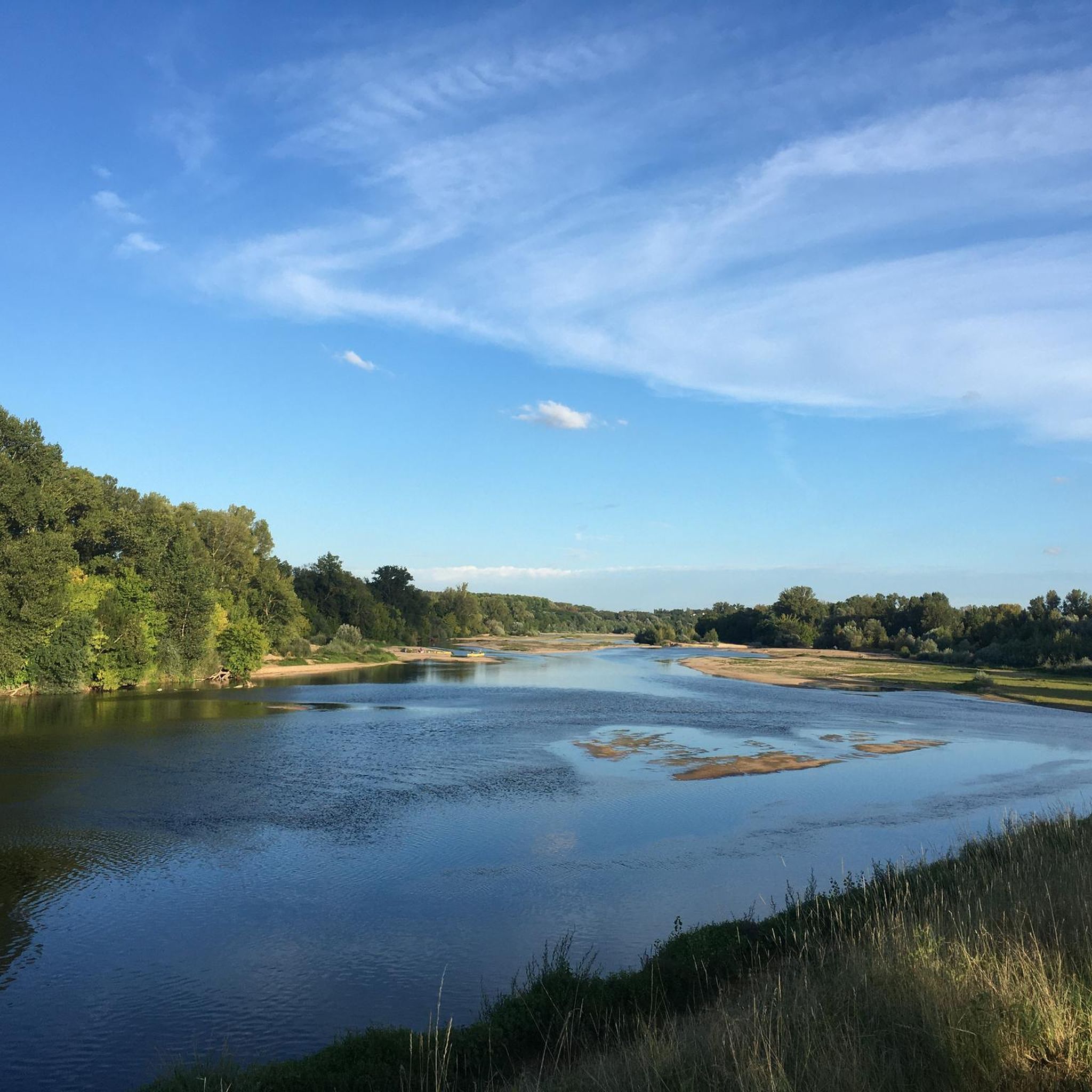
A beautiful place. Enjoy the shade and relax...
0
0
It's a lock like so many others in France...
0
0
Frequently Asked Questions
How many hiking trails are available around Argenvières?
There are over 80 hiking trails around Argenvières, offering a diverse range of options. You'll find approximately 40 easy routes, nearly 40 moderate trails, and a few more challenging paths, ensuring something for every skill level.
Are there easy or family-friendly hiking options in Argenvières?
Yes, Argenvières is well-suited for easy and family-friendly hikes due to its gently rolling terrain and low elevation changes. Many of the 40+ easy routes are perfect for families. For example, the La Cour du Château – The Black Hen Inn loop from La Charité-sur-Loire is an easy 4.9 km (1h 17m) trail, and the La Cour du Château – Rue des 84 Marches loop from La Charité-sur-Loire is another accessible 6.5 km (1h 47m) option.
What kind of terrain can I expect on hikes around Argenvières?
Hikes around Argenvières are characterized by gently rolling terrain and historical paths with generally low elevation changes. The landscape features moderate gradients, making most trails accessible and enjoyable. You'll often find routes connecting cultural points of interest and offering views of the local countryside.
Are there any circular walks in the Argenvières area?
Yes, many of the trails around Argenvières are circular, allowing you to start and end at the same point. Popular circular routes include the Cloister... – La Cour du Château loop from La Charité-sur-Loire (11.1 km) and the La Cour du Château – La Blancherie loop from La Charité-sur-Loire (12.2 km).
What are the typical lengths and durations of hikes in Argenvières?
Hikes in Argenvières vary in length and duration. Easy trails can be as short as 5 km, taking around 1.5 hours. Moderate routes, like the popular In the Wheel of Albert Bourlon Trail, are about 12.7 km and typically take around 3 hours 15 minutes to complete.
What interesting landmarks or attractions can I see along the hiking trails?
The hiking trails around Argenvières often pass by historical and cultural points of interest. You can explore sites like The ramparts of La Charité-sur-Loire, La Cour du Château, or even the Là Où Dort le Chat Bookstore in La Charité-sur-Loire. Some routes also offer views of the Loire River and its associated cycle paths.
What do other hikers say about the trails in Argenvières?
The trails in Argenvières are highly rated by the komoot community, with an average score of 4.3 stars from over 40 reviews. Hikers often praise the gently rolling terrain, the historical paths, and the cultural points of interest that make the routes engaging and enjoyable for various fitness levels.
Is Argenvières a good place for dog-friendly hiking?
While specific regulations for dogs on trails in Argenvières are not detailed, the general nature of the region, with its extensive forests and river valleys (similar to the broader Ardennes region), often provides ample opportunities for dog-friendly walks. It's always advisable to keep dogs on a leash, especially near wildlife or livestock, and to check local signage.
Are there opportunities for wild swimming or water features near the hiking routes?
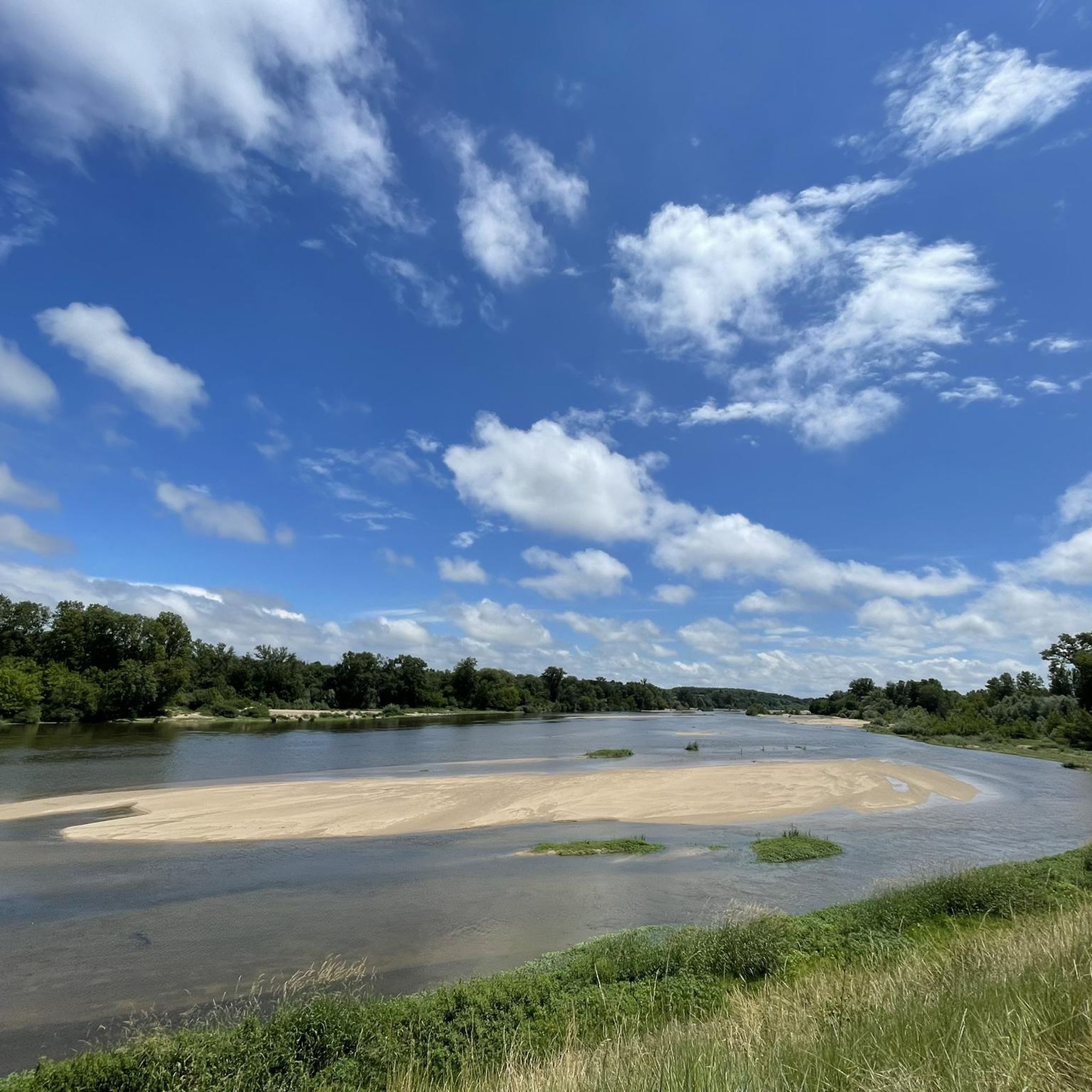
The broader region, including the Ardennes, is known for its dense hydrographic network, including the Meuse River and its tributaries, which create scenic river loops and valleys. While specific wild swimming spots directly adjacent to Argenvières trails are not listed, the presence of waterways like the Loire nearby suggests opportunities for scenic walks along riverbanks. Always exercise caution and check local regulations before attempting to swim in natural waters.
What is the best time of year to go hiking in Argenvières?
The gently rolling terrain of Argenvières makes it suitable for hiking across multiple seasons. Spring and autumn offer pleasant temperatures and beautiful scenery with blooming flora or vibrant fall colors. Summer is also enjoyable, though it can be warmer. Winter hikes are possible, especially on the less challenging routes, but always check local weather conditions and trail accessibility.
Are there any amenities like pubs or cafes along the hiking trails?
While specific pubs or cafes directly on every trail are not detailed, many routes in Argenvières connect to or pass through villages and towns, such as La Charité-sur-Loire. These locations typically offer opportunities for refreshments, meals, and other amenities. It's a good idea to plan your route to include stops in these areas if you're looking for a break.
Most popular attractions around Argenvières

Get inspired with the komoot mobile app


Explore more
Browse the best Hikes in other regions.
