The best walks and hikes around Saint-Paul-D'Izeaux
4.4
(184)
1,037
hikers
100
hikes
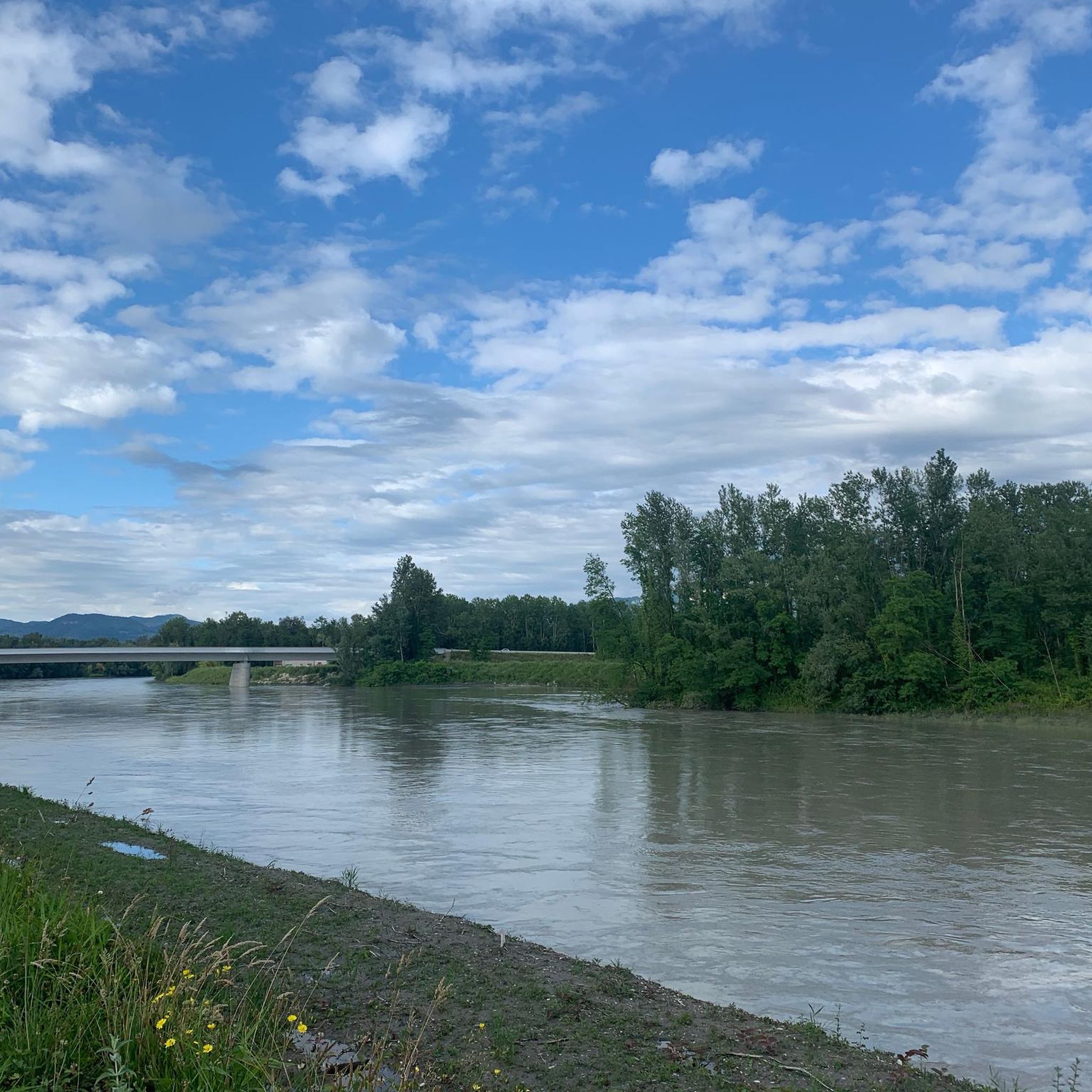
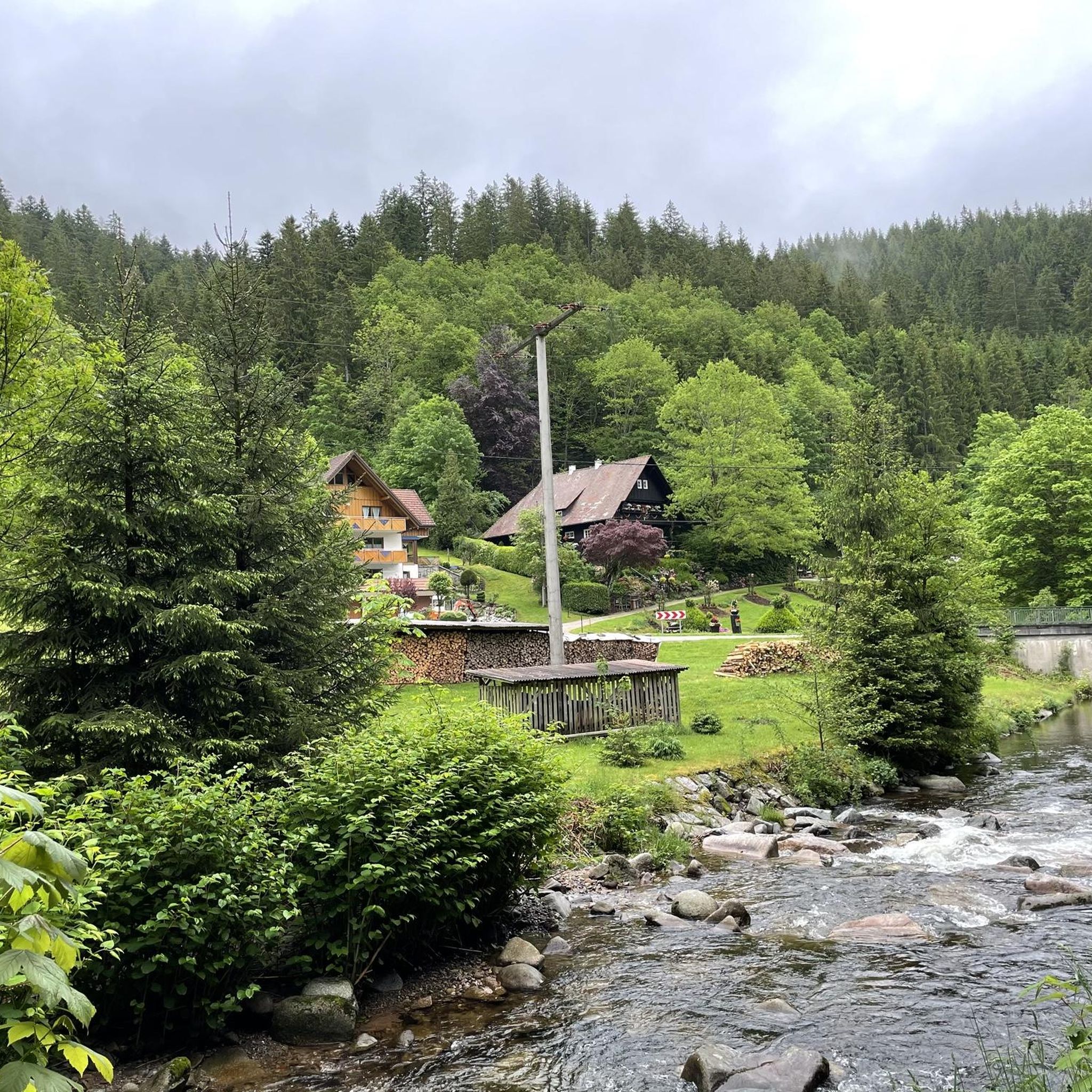
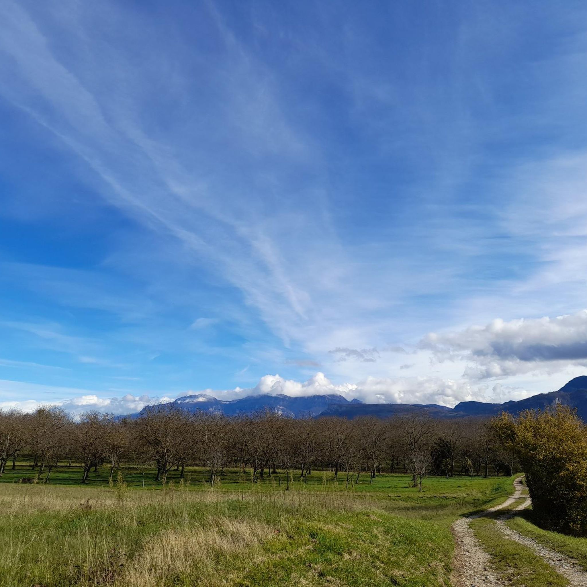
Hiking around Saint-Paul-D'Izeaux offers diverse natural surroundings within the Isère region of France. The area features woodlands and hillsides, providing varied terrain for outdoor activities. Hikers can experience panoramic views, often including vistas of the Vercors Massif and the Chartreuse Massif. This region is characterized by an extensive trail network that caters to various skill levels.
Best hiking trails around Saint-Paul-D'Izeaux
- The most popular hiking route is Parménie Pass – Panorama orientation table loop from Beaucroissant, a 5.9 miles…
Last updated: July 1, 2026
4.4
(8)
47
hikers
9.52km
03:03
330m
330m
Moderate hike. Good fitness required. Mostly accessible paths. Sure-footedness required.
4.0
(4)
24
hikers
8.00km
02:36
350m
350m
Moderate hike. Good fitness required. Easily-accessible paths. Suitable for all skill levels.

Sign up for free
4.0
(2)
19
hikers
9.38km
02:53
330m
330m
Moderate hike. Good fitness required. Easily-accessible paths. Suitable for all skill levels.
3.0
(1)
13
hikers
10.5km
03:21
340m
340m
Moderate hike. Good fitness required. Mostly accessible paths. Sure-footedness required.
5.0
(3)
11
hikers
11.8km
03:29
340m
340m
Moderate hike. Good fitness required. Easily-accessible paths. Suitable for all skill levels.
Get access to more routes and recommendations from other explorers.
Sign up for free
Already have an account?
Our route recommendations are based on thousands of hikes, rides, and runs completed by other people on komoot.
Start today with a free account
Your next adventure awaits.
Login or Signup

Tips from the Community

The view from the pass is worth the effort!
0
0

The Col de Chatain from Tullins is 7.23 km long with a total drop of 469 m. The average gradient is 6.49% with maximum gradients of 12%.
2
0
A fairly steady climb from Vinay, the start has easier grades of 2-4% with the second and final part increasing to 5-6%. The views from the top are definitely worth the effort!
2
0

A nice little mid-season pass from Tullins, more steep than from very soft Izeaux
0
0
Frequently Asked Questions
How many hiking trails are available around Saint-Paul-D'Izeaux?
There are over 90 hiking routes in the Saint-Paul-D'Izeaux area, catering to various skill levels. This includes 29 easy trails, 59 moderate trails, and 2 more challenging routes.
What kind of landscapes can I expect to see while hiking in Saint-Paul-D'Izeaux?
Hikers in Saint-Paul-D'Izeaux can expect diverse and picturesque natural surroundings. The trails often traverse woodlands and hillsides, offering magnificent panoramic views, including breathtaking vistas of the Vercors Massif and the Chartreuse Massif. The region provides a peaceful environment, allowing for a true communion with nature.
Are there any easy or family-friendly hiking options in Saint-Paul-D'Izeaux?
Yes, Saint-Paul-D'Izeaux offers 29 easy hiking trails, making it suitable for families or those looking for a more relaxed walk. These paths often lead through varied terrain, providing gentle experiences amidst nature.
What do other hikers say about the trails in Saint-Paul-D'Izeaux?
The hiking routes in Saint-Paul-D'Izeaux are highly rated by the komoot community, with an average score of 4.5 stars from over 160 reviews. Hikers often praise the scenic beauty, the varied terrain, and the peaceful, soothing nature of the trails, noting the good climbs and panoramic views.
Are there any circular hiking routes available?
Yes, many routes in the area are circular. For example, you can explore the Parménie Pass – Panorama orientation table loop from Beaucroissant, which offers scenic views, or the Col de Châtain (684 m) loop from La Forteresse for a moderate challenge.
What are some notable landmarks or attractions I can see near the hiking trails?
While hiking, you might encounter various points of interest. The area offers stunning views of the Vercors massif. You can also explore the Toutes Aures Pass, or discover unique spots like La Fée Verte: The perfect illusion. The broader region also features the Isère River, which contributes to the scenic beauty.
Are there any hikes that offer good climbs?
Absolutely. Many trails in Saint-Paul-D'Izeaux feature good climbs that will get your heart rate up. A popular choice is the Col de Châtain (684 m) loop from Morette, known for its ascent to the Col de Châtain.
What is the best season for hiking in Saint-Paul-D'Izeaux?
The region is generally suitable for hiking across multiple seasons, with woodlands and hillsides providing varied experiences. Spring and autumn offer pleasant temperatures and vibrant scenery, while summer provides lush green landscapes. Always check local weather conditions before heading out.
Are there any trails that lead to panoramic viewpoints?
Yes, panoramic views are a defining feature of hiking in Saint-Paul-D'Izeaux. The Panorama orientation table loop from Izeaux is specifically known for its scenic vistas from the orientation table, offering expansive views of the surrounding massifs.
What kind of wildlife or flora can I expect to see?
The diverse natural environment of the Isère region, including the nearby Vercors Massif, is home to a variety of flora and fauna. While specific sightings depend on the season and trail, you might encounter diverse plant life in the woodlands and hillsides, and potentially spot local wildlife such as ibex or various bird species, including vultures, in the broader area.
How long do hikes typically take around Saint-Paul-D'Izeaux?
Hike durations vary depending on the route and your pace. For example, a moderate trail like the Parménie Pass – Panorama orientation table loop from Beaucroissant typically takes around 3 hours 2 minutes to complete, while the Lachard Pass (695 m) loop from La Forteresse might take closer to 3 hours 20 minutes.
Most popular routes around Saint-Paul-D'Izeaux
Most popular attractions around Saint-Paul-D'Izeaux

Get inspired with the komoot mobile app


Explore more
Browse the best Hikes in other regions.
