Top 5 Mountain Passes around Moriez
Best mountain passes around Moriez are located in the Alpes-de-Haute-Provence department in southeastern France. This region features diverse terrain, including scenic mountain passes and routes. The area offers opportunities for exploring natural landscapes and provides access to various elevations. Moriez serves as a starting point for discovering these mountain passes.
Best mountain passes around Moriez
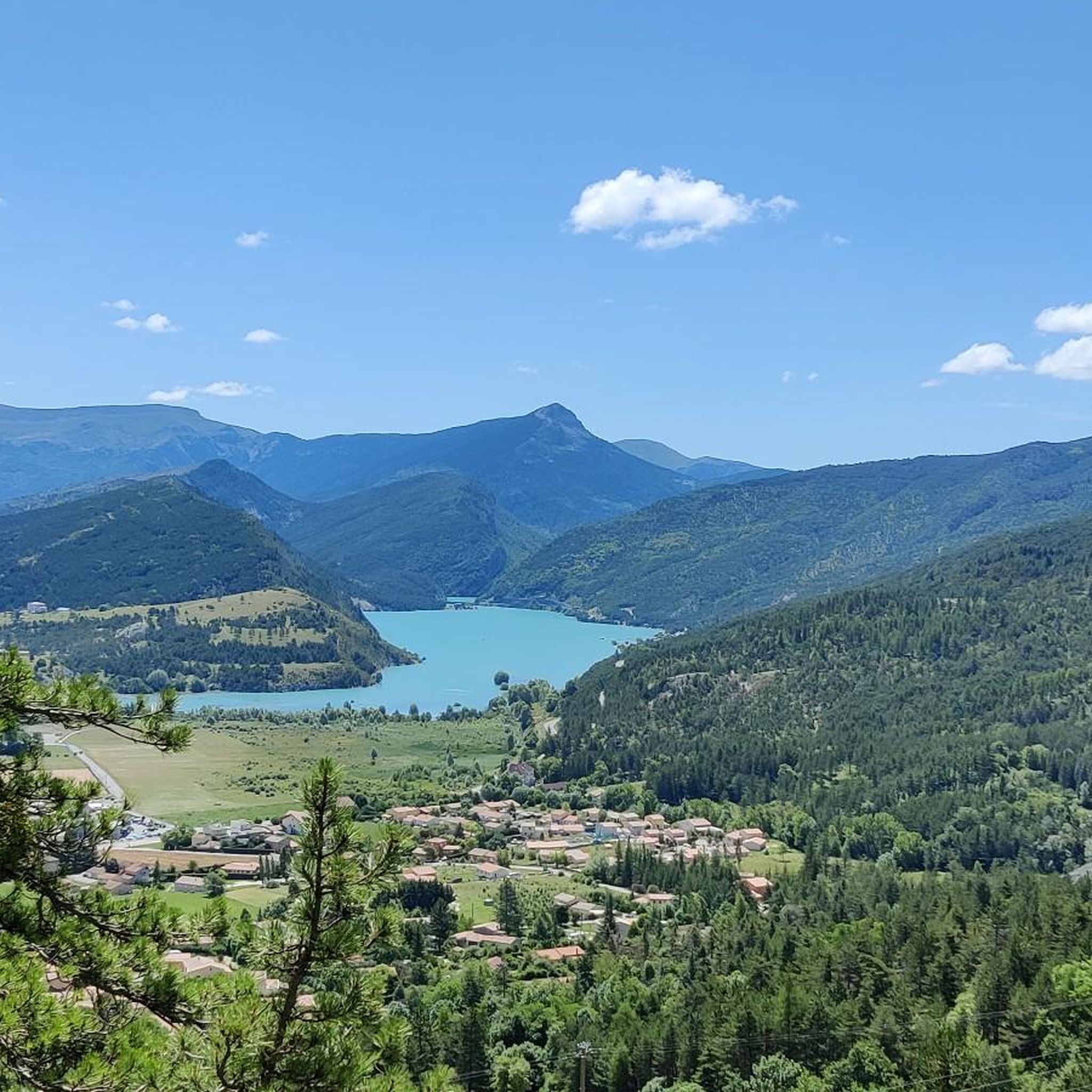
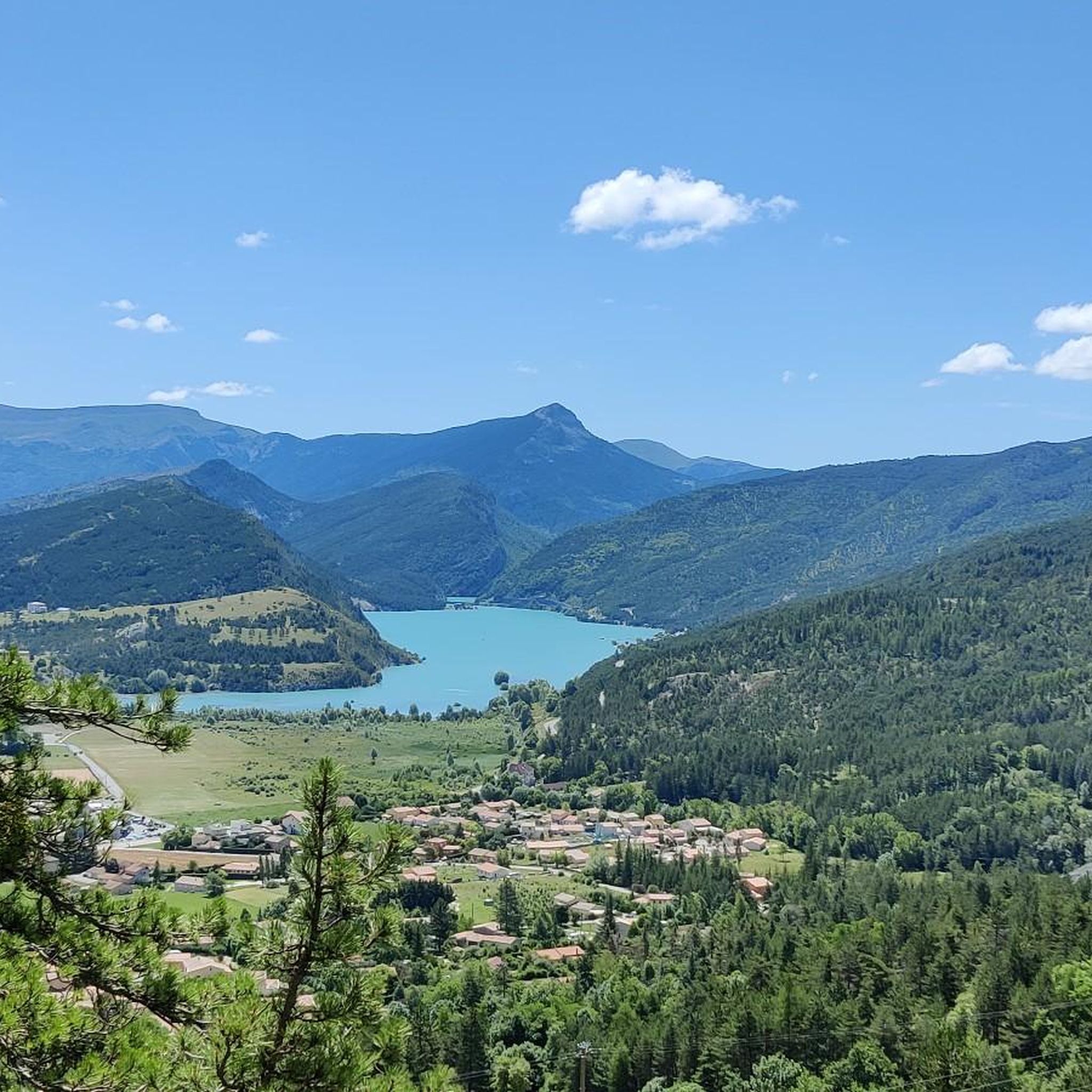
- The most popular mountain passes is Route de Soleilhas, a viewpoint that offers magnificent views of Lac de Castillon. This location features an incredible…
Last updated: June 26, 2026
Col du Défens (1,230 m)
Highlight • Mountain Pass
Translated by Google •
Tip by

Col de Toutes Aures (1,124 m)
Highlight • Mountain Pass
Translated by Google •
Tip by

Sign up now to discover places like this
Get recommendations on the best single tracks, peaks, & plenty of other exciting outdoor places.
Sign up for free
Col des Robines
Highlight • Mountain Pass
More information: fr.wikipedia.org/wiki/Col_des_Robines and alpenrouten.de/Robines-Col-des_point927.html
Translated by Google •
Tip by

Corobin Pass
Highlight • Mountain Pass
Translated by Google •
Tip by

Route de Soleilhas
Highlight (Segment) • Viewpoint
Translated by Google •
Tip by

Sign up for free to discover even more mountain passes around Moriez.
Sign up for free
Already have an account?
Start today with a free account
Your next adventure awaits.
Login or Signup
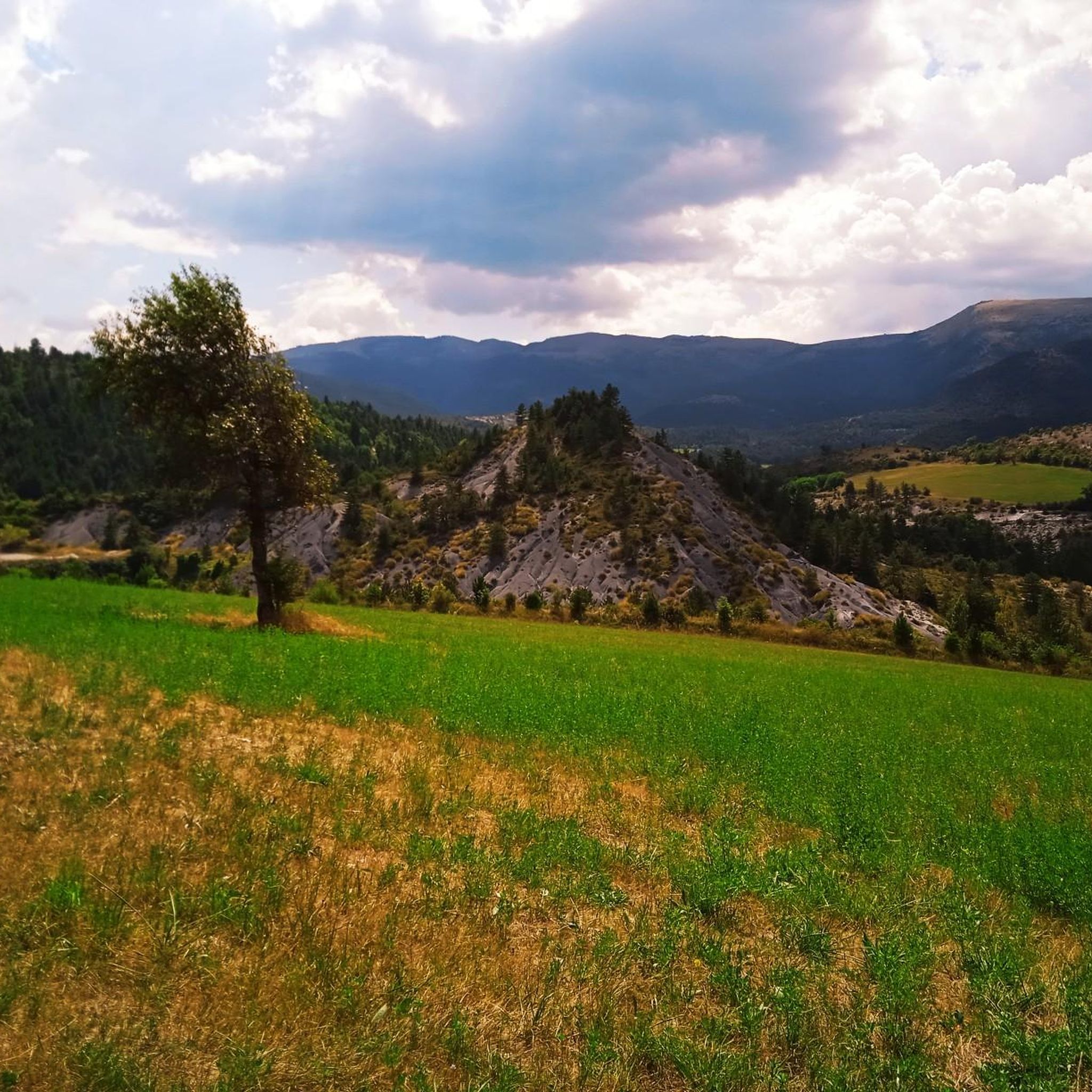
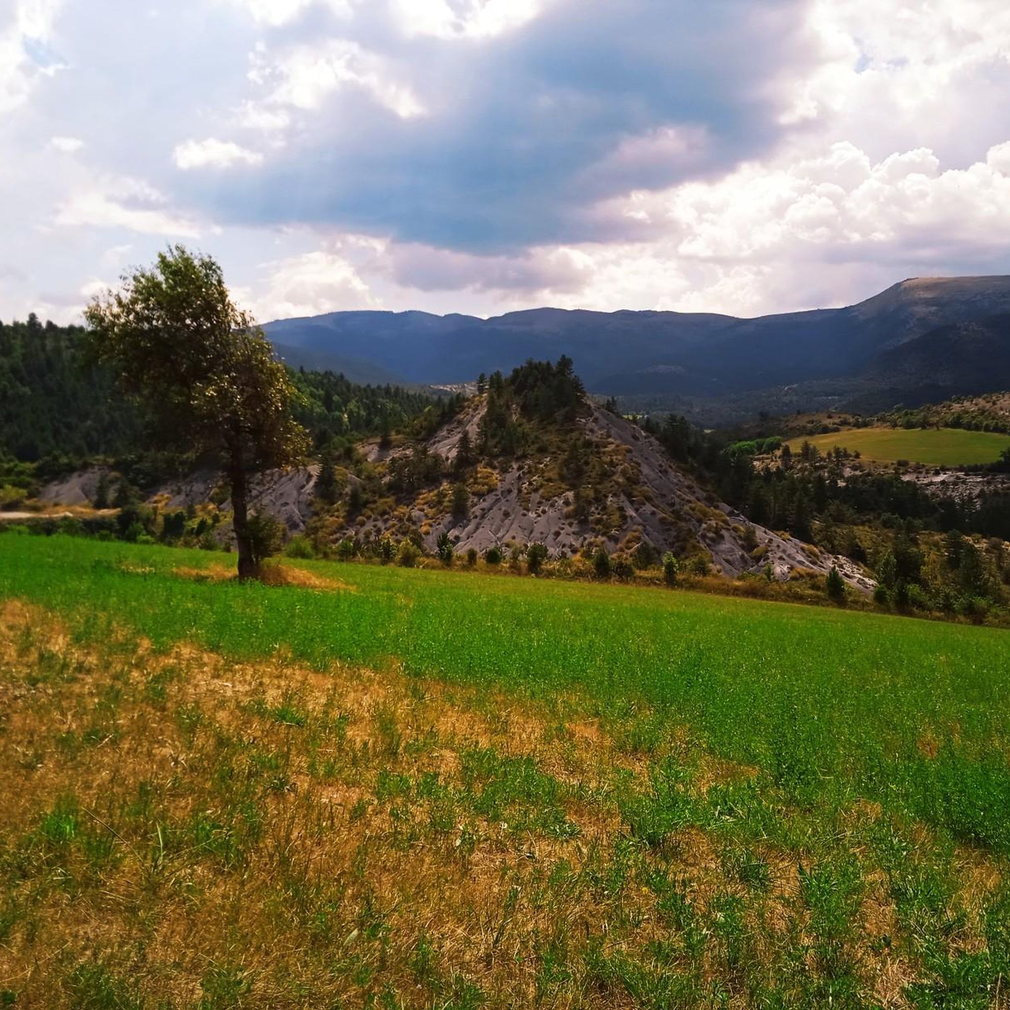
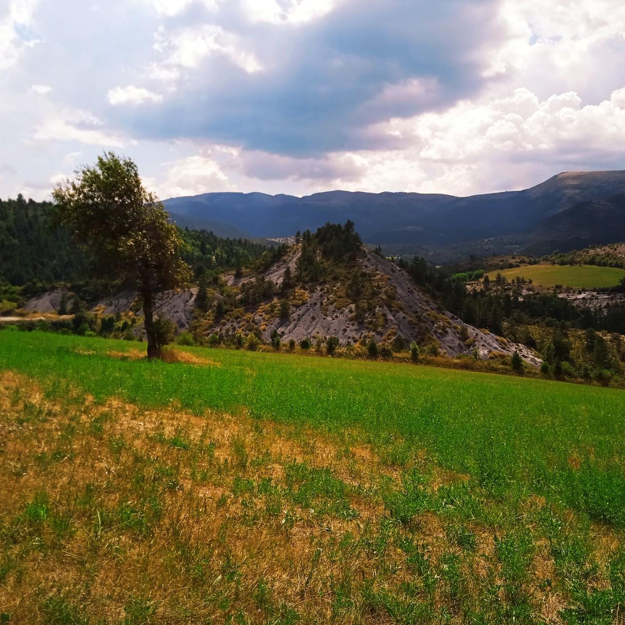
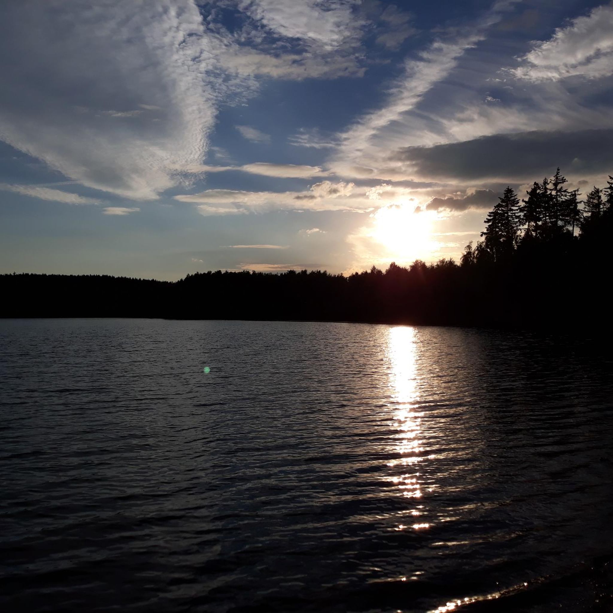
Tips from the Community

The southern slope, from Chaudon-Norante, is advertised at an average gradient of 6.6% for a length of about 8km. But the road has 4 or 5 flat sections over 150 or 200m, which means that in reality we are very often on slopes between 8 and 10%. This pass nevertheless remains accessible to any moderately trained cyclist and, the icing on the cake, it is reserved for cyclists at certain times during the summer. The view at the summit is magnificent.
0
0

Incredible plateau at over 1000 meters at the gateway to the Verdon.
0
0

A very easy climb to pedal.
16
1

Beautiful landscape, small road, only the last bends are strenuous.
3
0

The Col des Robines peaks at 988m and will allow you to climb to almost 1000m without making any effort because from Moriez you would have a slope of around 3km with a slope not exceeding 5% and on the Saint-André les Alpes side this will be shorter, around 1.5 km, but harder with an average of 6-7%. Be careful, however, of the often very heavy traffic on this pass because it is on the RN 202 which is HUGELY used almost all year round.
1
0

The Col de Corobin from Chaudon-Norante is a climb in the Alpes de Haute Provence region. It has a length of 7.7 kilometers and an ascent of 535 vertical meters with an average gradient of 7%, which implies a difficulty level of 413. The top of the ascent is located at 1,220 meters above sea level. On the other hand, from Digne-les-Bains via Col de Pierre Basse, it is 14.6 kilometers long and climbs 650 vertical meters with an average gradient of 4.4%, which implies a difficulty level of 448.
2
0
The Col de la Croix de Toutes Aures, often referred to as the Col de Toutes Aures, is a road pass on the Chambaran plateau on departmental road 518, located in the Isère department at 628 m altitude. Its name means "passage of all horizons" or "all winds" because its dominant position on the Chambaran plateau subjects it to numerous and changing wind currents, coming from all sides. In France, there are two other steps "de Tous Aures". The first is in the Alpes de Haute Provence and connects the Var valley with Lake Costillon. A second is located in Isère, in the foothills of the Vercors and connects Choranche with Presles. This pass is the meeting place for cyclists and hikers with the start of the Brion walk. (see the new Bièvre-Valloire map-guide)
1
0

Magnificent views of Lac de Castillon at the turn of the laces
0
0
Frequently Asked Questions
What makes the mountain passes around Moriez unique for cyclists?
The region offers a variety of passes suitable for cycling. For instance, Col du Défens (1,230 m) is known for its good quality road, minimal traffic, magnificent scenery, and accessible climb on both sides. Another option, Col de Toutes Aures (1,124 m), is noted for its very easy climb to pedal, making it a popular meeting point for cyclists.
Are there any mountain passes near Moriez that offer exceptional viewpoints?
Yes, Route de Soleilhas is a prominent viewpoint offering magnificent views of Lac de Castillon. It features an incredible plateau at over 1000 meters, situated at the gateway to the Verdon, with slightly steep bends leading to spectacular vistas.
What are the typical road conditions on the mountain passes in this area?
Road conditions vary. For example, Col du Défens (1,230 m) boasts a good quality road with very little traffic. However, Col des Robines, located on the N202 (Route Napoleon), can experience often very heavy traffic almost all year round.
Can I find any historical significance related to the mountain passes near Moriez?
Yes, the Corobin Pass, peaking at 1,211 meters, is notable for its historical connection. It's said that Napoleon himself took this pass instead of the route through the valley, offering an alternative to the more heavily trafficked Route Napoleon.
What kind of outdoor activities can I do near the mountain passes around Moriez?
The region around Moriez offers diverse outdoor activities. You can find numerous cycling routes, including challenging loops like the Verdon Viaduct – D2 in Tal der Issole loop, or more moderate options like the Lake des Sagnes loop. Hiking is also popular, with trails such as the Lake Castillon – Sentier des Pêcheurs loop. For more details, explore the cycling, hiking, and road cycling guides around Moriez.
Are there hiking trails near the mountain passes around Moriez?
Absolutely. The area provides various hiking opportunities. For example, you can explore the moderate 'Trou de Chalvet loop from Moriez' or the 'Lake Castillon – Sentier des Pêcheurs loop from Saint-André-les-Alpes'. There are also easier options like the 'Sentier des Pêcheurs loop'. You can find more hiking routes in the hiking guide for Moriez.
What do visitors appreciate most about the mountain passes in the Moriez area?
Visitors frequently highlight the magnificent scenery and the quality of the roads for cycling. Many enjoy the accessible climbs and the sense of accomplishment. The unique natural features, such as the views of Lac de Castillon from Route de Soleilhas, are also highly praised.
How accessible are the climbs on the mountain passes near Moriez?
Many passes offer accessible climbs. For instance, Col du Défens (1,230 m) is described as having an accessible climb on both sides. Col de Toutes Aures (1,124 m) is noted for its very easy climb to pedal. Even Col des Robines, while on a busy road, has a relatively gentle slope from Moriez.
Are there any unique natural or artistic features to discover on these passes?
Yes, on the ascent of Col du Défens (1,230 m), you might encounter an egg-shaped sculpture by Andy Goldworthy, adding an artistic touch to the natural landscape. Additionally, Route de Soleilhas offers an incredible plateau over 1000 meters with stunning views of Lac de Castillon.
Which mountain pass connects the Asse and Verdon valleys?
The Col des Robines, located on the N202 (Route Napoleon) and reaching 988 meters, serves as the connection between the valley of the Asse and the valley of the Verdon.
What is the elevation of the highest mountain pass mentioned around Moriez?
Among the highlighted passes, Col du Défens reaches an elevation of 1,230 meters, making it one of the higher passes in the immediate vicinity of Moriez.
Most popular attractions around Moriez

Get inspired with the komoot mobile app


Explore more
See even more epic mountain passes by checking out these guides around Moriez:
