Top 6 Mountain Passes around Saint-Étienne-Du-Valdonnez
Best mountain passes around Saint-Étienne-Du-Valdonnez are situated within the Valdonnez valley, part of the Mont Lozère massif and the Cévennes National Park. This region features altitudes ranging from 750 to 1500 meters, characterized by granite formations and diverse landscapes. The area offers a network of trails and natural sites for outdoor activities.
Best mountain passes around Saint-Étienne-Du-Valdonnez
- The most popular mountain pass is Loubière Pass, a mountain pass that reaches an altitude of 1,181 meters. It is 6 kilometers…
Last updated: July 10, 2026
Dolmen at Col de la Pierre Plate
Highlight • Mountain Pass
His chamber, covered by a large slab and open towards the east, is three …
Translated by Google •
Tip by

Loubière Pass
Highlight • Mountain Pass
Showing Translation
Tip by

Sign up now to discover places like this
Get recommendations on the best single tracks, peaks, & plenty of other exciting outdoor places.
Sign up for free
Santel Pass
Highlight • Mountain Pass
Translated by Google •
Tip by

Col des Tribes and the watershed divide
Highlight • Mountain Pass
Translated by Google •
Tip by
Col du Pont Sans Eau
Highlight • Mountain Pass
Translated by Google •
Tip by

Sign up for free to discover even more mountain passes around Saint-Étienne-Du-Valdonnez.
Sign up for free
Already have an account?
Start today with a free account
Your next adventure awaits.
Login or Signup
Popular around Saint-Étienne-Du-Valdonnez
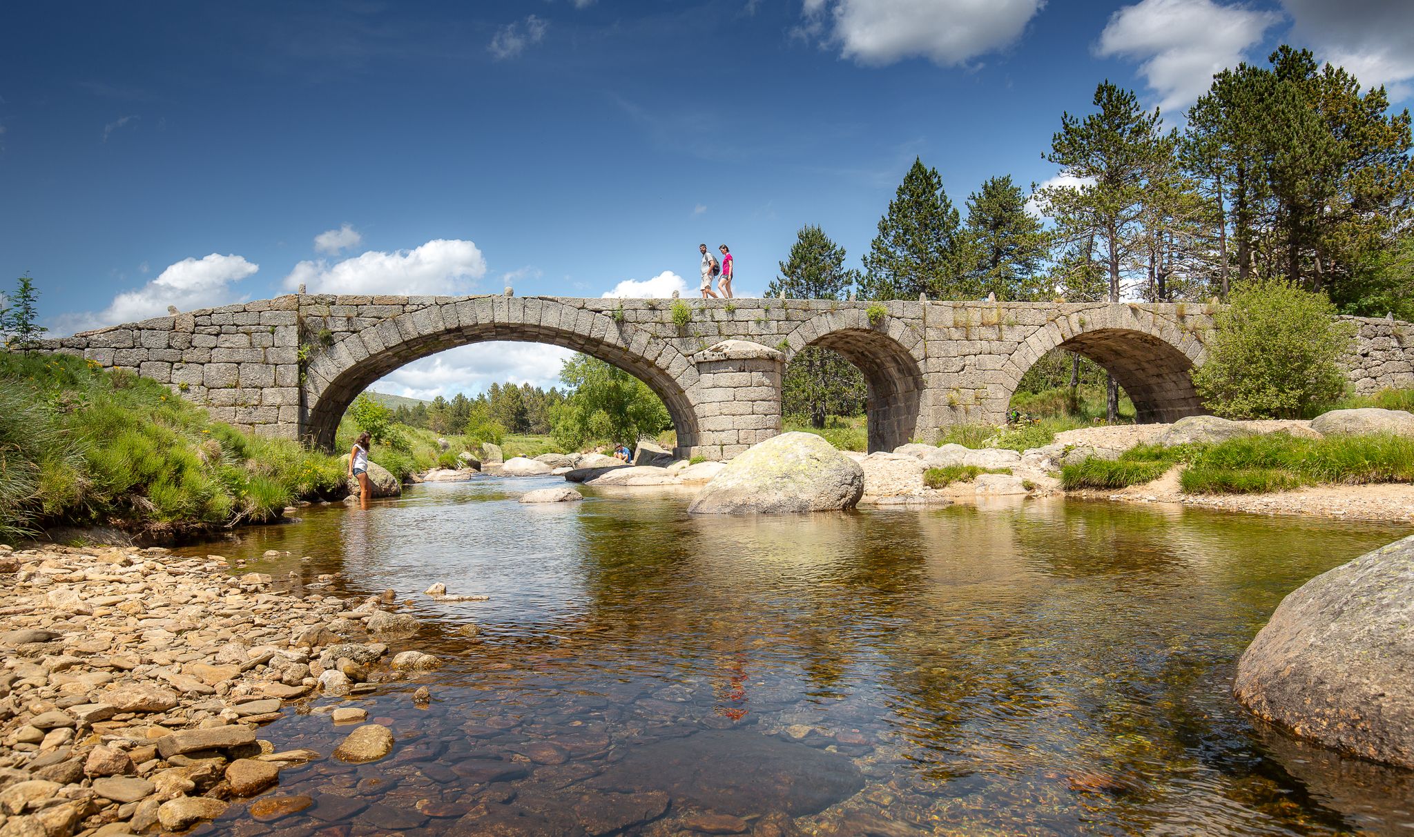
The most beautiful walks in Lozère
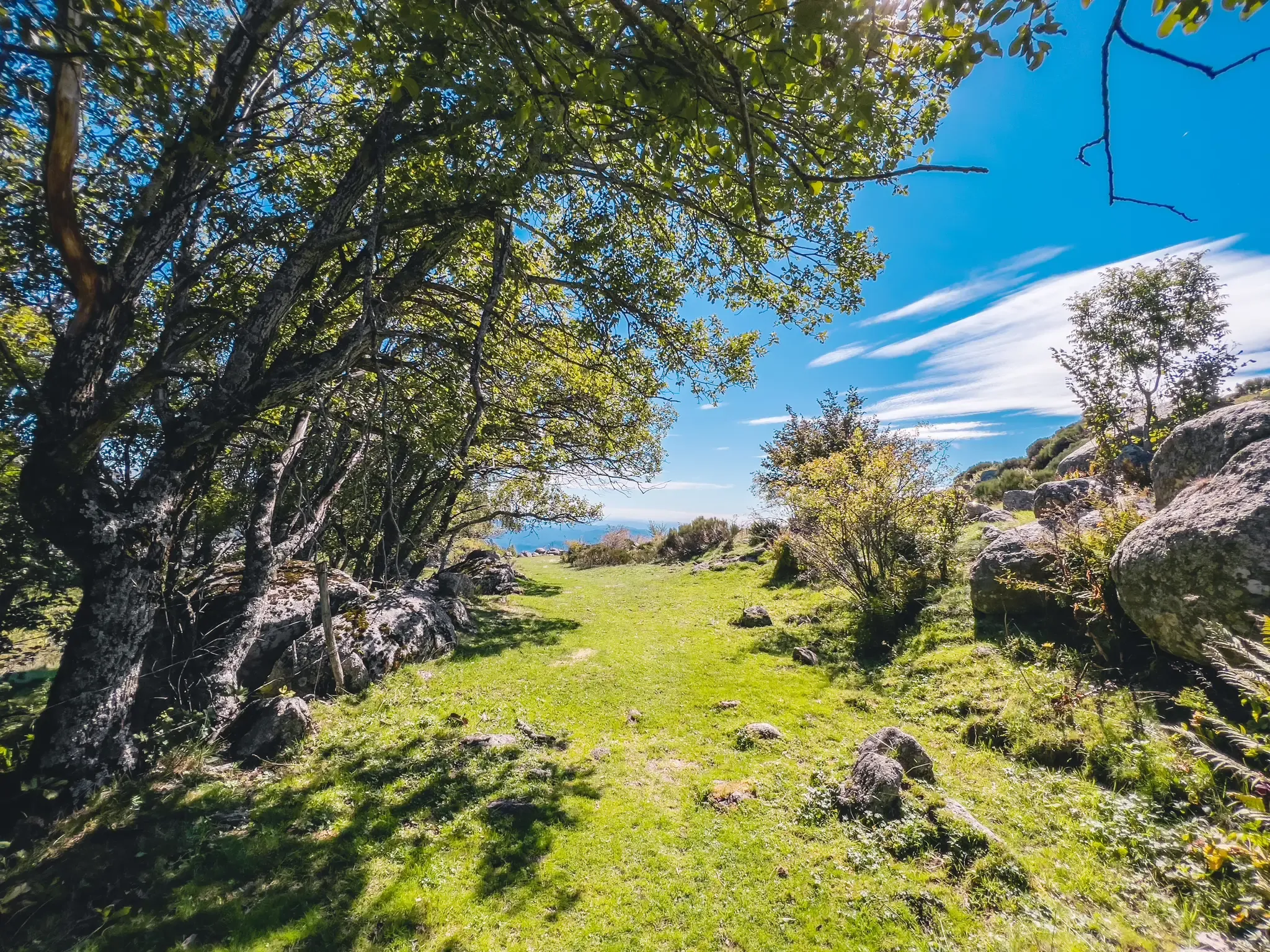
UNESCO landscapes and unique biodiversity – around Mont Lozère
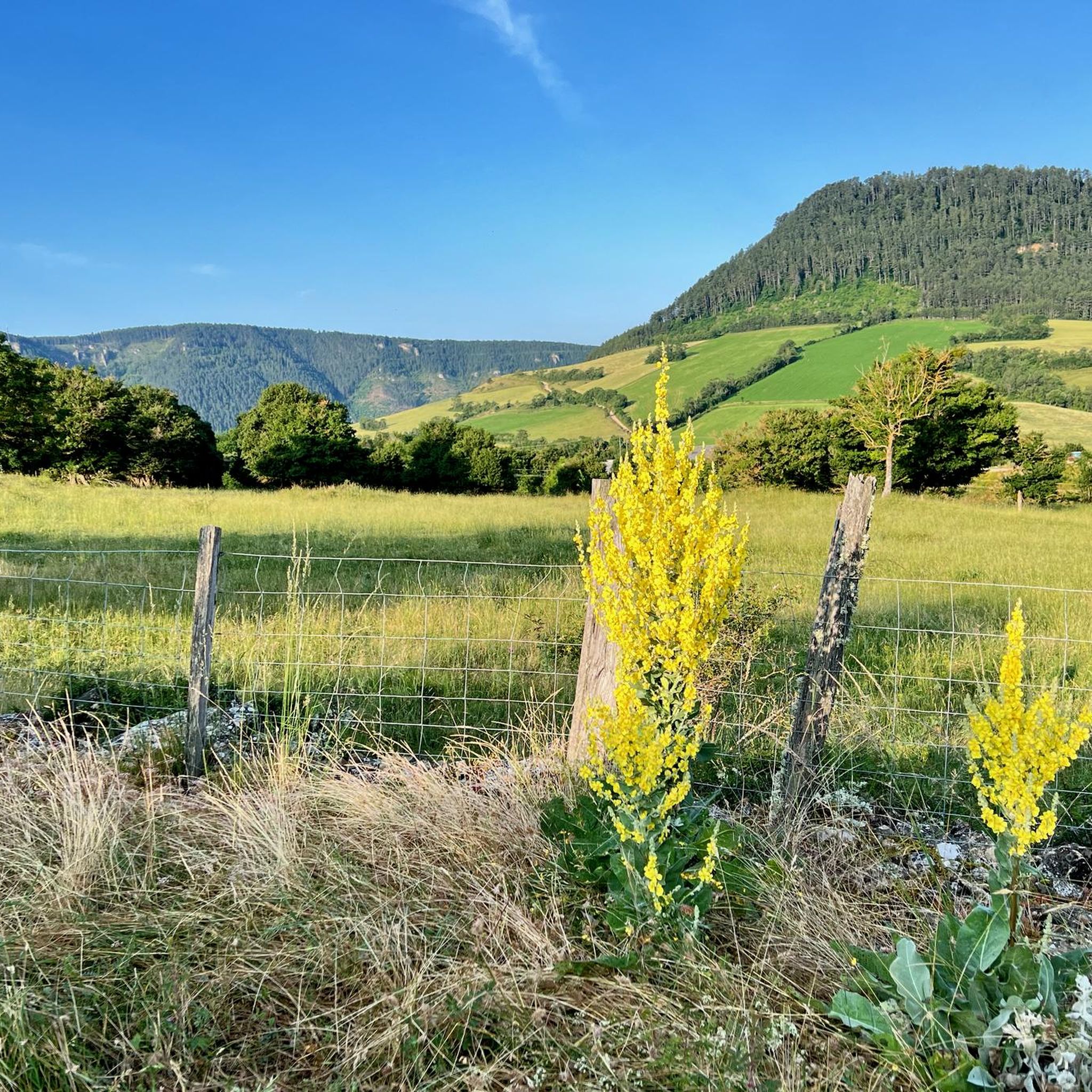
Hiking around Saint-Étienne-Du-Valdonnez
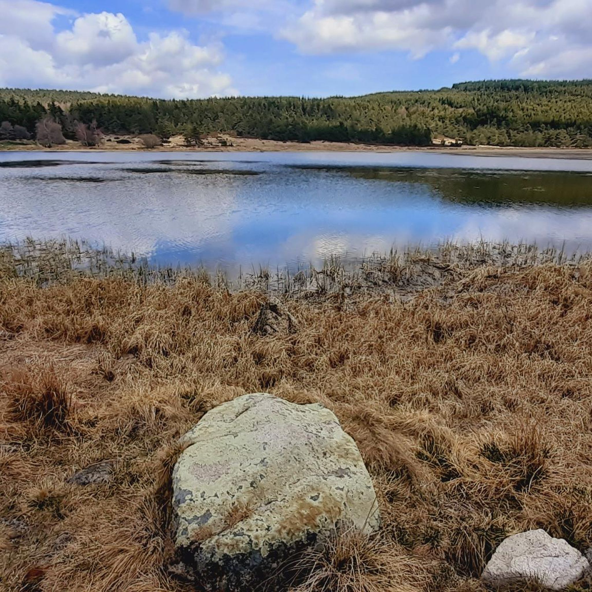
Cycling around Saint-Étienne-Du-Valdonnez
Running Trails around Saint-Étienne-Du-Valdonnez
Road Cycling Routes around Saint-Étienne-Du-Valdonnez
MTB Trails around Saint-Étienne-Du-Valdonnez

Gravel biking around Saint-Étienne-Du-Valdonnez
Other adventures around Saint-Étienne-Du-Valdonnez


Tips from the Community

Nice little pass, okay, absolutely easy from Bleymard. Watershed between the Atlantic and the Mediterranean.
0
0
D41, very small road, relatively little traffic, challenging from both sides but doable.
2
0

The Col de Santel connects a number of paths, including the famous GR 68 which goes around Mont-Lozère. From here you can also reach the Col de Finiels, which is the highest point in the Cévennes.
2
0

The Col de la Pierre Plate, at an altitude of 1016m, obviously owes its name to the dolmen whose enormous megalith that crowns it has a perfectly flat shape.
0
0

The Col du Pont without water is 3.34 km long with an elevation gain of 191m. The average gradient is 5.7% with maximum gradients of 7%.
1
0

Located between the Lot valley and Valdonnez, the Col de la Loubière is 1,181 meters high and six kilometers long with an average gradient of 5.59%. The climb, regardless of its side, is very pleasant and takes place on a small, quiet road.
1
0
This middle category pass has the particularity of being located at the level of the watershed line.
1
0

The Pierre Plate pass dolmen is one of the best preserved on the Causse Méjean plateau. His chamber, covered by a large slab and open towards the east, is three meters long. According to local legends, the dolmen would have healing properties for people suffering from whooping cough.
2
0
Frequently Asked Questions
What are some notable mountain passes to explore around Saint-Étienne-Du-Valdonnez?
Beyond the well-known spots, you can explore the Loubière Pass, which offers a challenging yet doable route with an average gradient of 5.59%. Another interesting option is the Col des Tribes and the watershed divide, unique for its location on the watershed line between the Atlantic and the Mediterranean. For a scenic cycling route, consider the Col du Pont Sans Eau.
Are there any mountain passes with historical or cultural significance in the area?
Yes, the Dolmen at Col de la Pierre Plate is a significant historical monument. This dolmen is one of the best preserved on the Causse Méjean plateau, featuring a three-meter-long chamber. Local legends even suggest it has healing properties for certain ailments.
What kind of views can I expect from the mountain passes around Saint-Étienne-Du-Valdonnez?
The region, particularly around the Col de Finiels on Mont Lozère, offers extraordinary panoramic views. On clear days, you can see south over the Cévennes, north over a chain of volcanoes, and potentially as far as the Alps to the east, the Mediterranean Sea to the south, and Plomb du Cantal to the northwest. Passes like Loubière Pass and Col des Tribes also provide scenic viewpoints.
What outdoor activities can I do near these mountain passes?
The Mont Lozère region, where many of these passes are located, is ideal for various outdoor activities. You can find extensive networks for hiking, cycling, and mountain biking. For example, there are numerous road cycling routes, MTB trails, and general cycling tours that incorporate these passes and the surrounding landscapes.
Are there specific hiking trails accessible from these mountain passes?
Yes, the Santel Pass connects to several paths, including the famous GR 68 trail which circles Mont Lozère. From here, you can also access the Col de Finiels, the highest point in the Cévennes, which serves as a starting point for numerous hikes, including an 8.4-kilometer walk to Pic de Finiels.
What is the best time of year to visit the mountain passes around Saint-Étienne-Du-Valdonnez?
The region offers diverse experiences throughout the year. Spring and autumn are ideal for hiking and cycling due to milder temperatures and vibrant landscapes. In winter, areas like the Col de Finiels become popular for cross-country skiing and snowshoeing, with the Bleymard ski resort also accessible.
Are the mountain passes around Saint-Étienne-Du-Valdonnez suitable for families?
The broader Mont Lozère region offers varied terrain, making it possible to find routes suitable for different fitness levels. While some passes involve challenging climbs, many areas provide easier paths and scenic drives that families can enjoy. Look for trails described as 'easy' or 'moderate' for family-friendly options.
Can I bring my dog on the trails around the mountain passes?
The Mont Lozère massif is part of the Cévennes National Park. While dogs are generally allowed on trails, it's important to check specific regulations within the National Park, especially regarding protected areas or during certain seasons, to ensure compliance.
Is parking available at the trailheads for these mountain passes?
Access to mountain passes like Col de Finiels is generally good, and parking is typically available at common starting points for hikes or scenic viewpoints. For specific passes, it's advisable to check local information or maps for designated parking areas.
What should I bring for a hike or cycle around the mountain passes?
Given the varied terrain and potential for changing weather, it's recommended to bring appropriate layers of clothing, sturdy hiking boots or cycling shoes, sufficient water, snacks, and sun protection. A map or GPS device is also advisable, especially for longer routes or less-trafficked areas.
Are there any less crowded mountain passes or routes to explore?
While specific crowd levels vary, the Mont Lozère region is known for its vast open spaces and tranquility. Exploring passes slightly off the main tourist routes or visiting during off-peak seasons can offer a more serene experience. The extensive network of trails means you can often find quieter paths even near popular spots.
Where can I find food or accommodation near the mountain passes?
Saint-Étienne-Du-Valdonnez and nearby villages within the Mont Lozère region offer various options for restaurants, cafés, and accommodation. You'll find charming villages with local eateries and guesthouses, particularly in the valleys and along main access routes to the passes.
Most popular routes around Saint-Étienne-Du-Valdonnez
Most popular attractions around Saint-Étienne-Du-Valdonnez

Get inspired with the komoot mobile app


Explore more
See even more epic mountain passes by checking out these guides around Saint-Étienne-Du-Valdonnez:
