Top 14 Mountain Passes around Les Ardillats
Mountain passes near Les Ardillats offer diverse landscapes for exploration in the Beaujolais region of France. The area transitions from vineyards to forests and meadows, providing varied terrain. Elevated points like Mont Saint-Rigaud, the highest in the Rhône department, offer panoramic views. The region is characterized by significant elevation changes, making it suitable for outdoor activities.
Best mountain passes around Les Ardillats
- The most popular mountain passes is Col de Casse Froide, a mountain pass with varied ascents, offering…
Last updated: June 26, 2026
Col de Gerbet
Highlight • Mountain Pass
Translated by Google •
Tip by

Col de la Sibérie, 638 m
Highlight • Mountain Pass
Translated by Google •
Tip by

Sign up now to discover places like this
Get recommendations on the best single tracks, peaks, & plenty of other exciting outdoor places.
Sign up for free
Croix d'Ajoux
Highlight • Religious Site
Translated by Google •
Tip by
Col de Durbize
Highlight • Mountain Pass
Showing Translation
Tip by
Col de Casse Froide
Highlight • Mountain Pass
Translated by Google •
Tip by

Sign up for free to discover even more mountain passes around Les Ardillats.
Sign up for free
Already have an account?
Start today with a free account
Your next adventure awaits.
Login or Signup
Popular around Les Ardillats
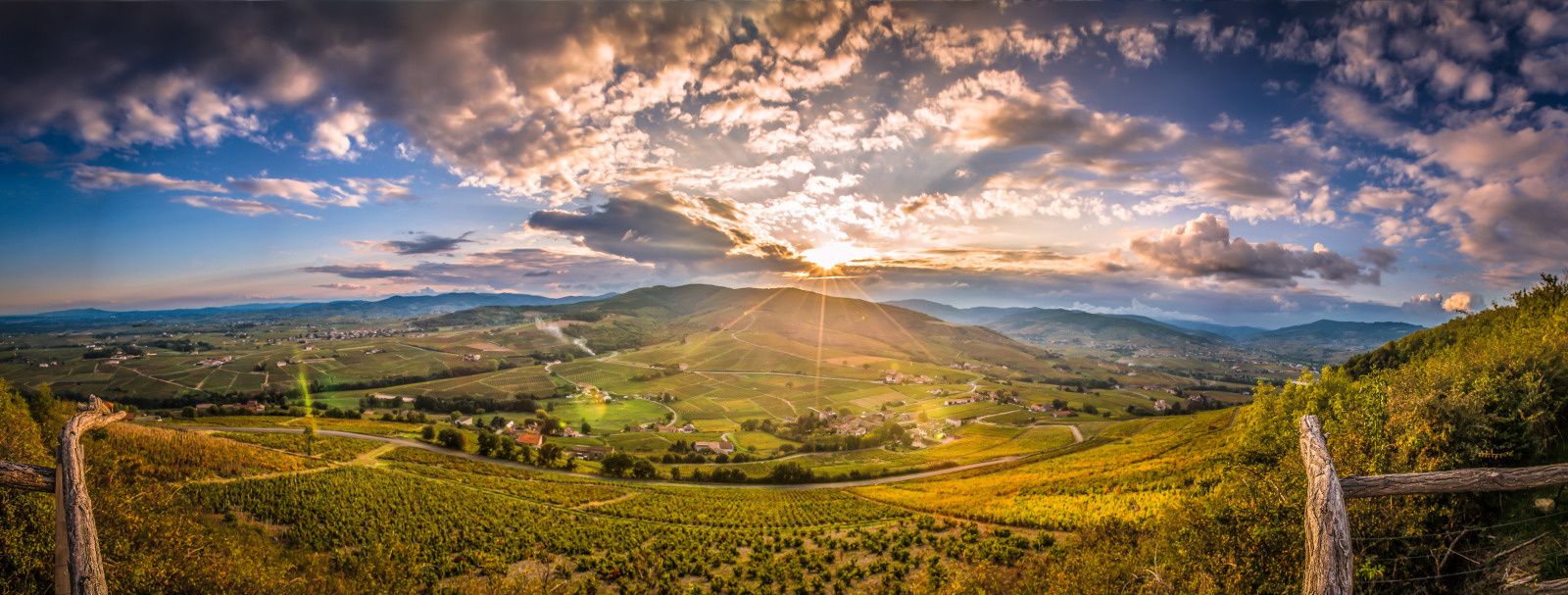
The Rhône by bike – sporty escapes around Lyon
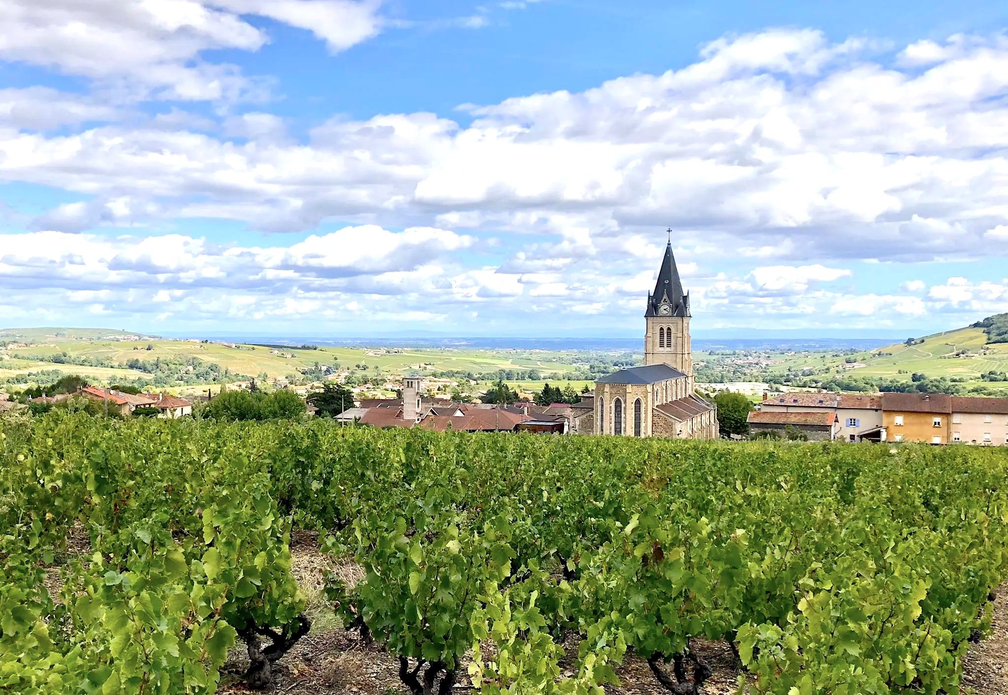
Vineyards and mountains – 15 walks in the Beaujolais region
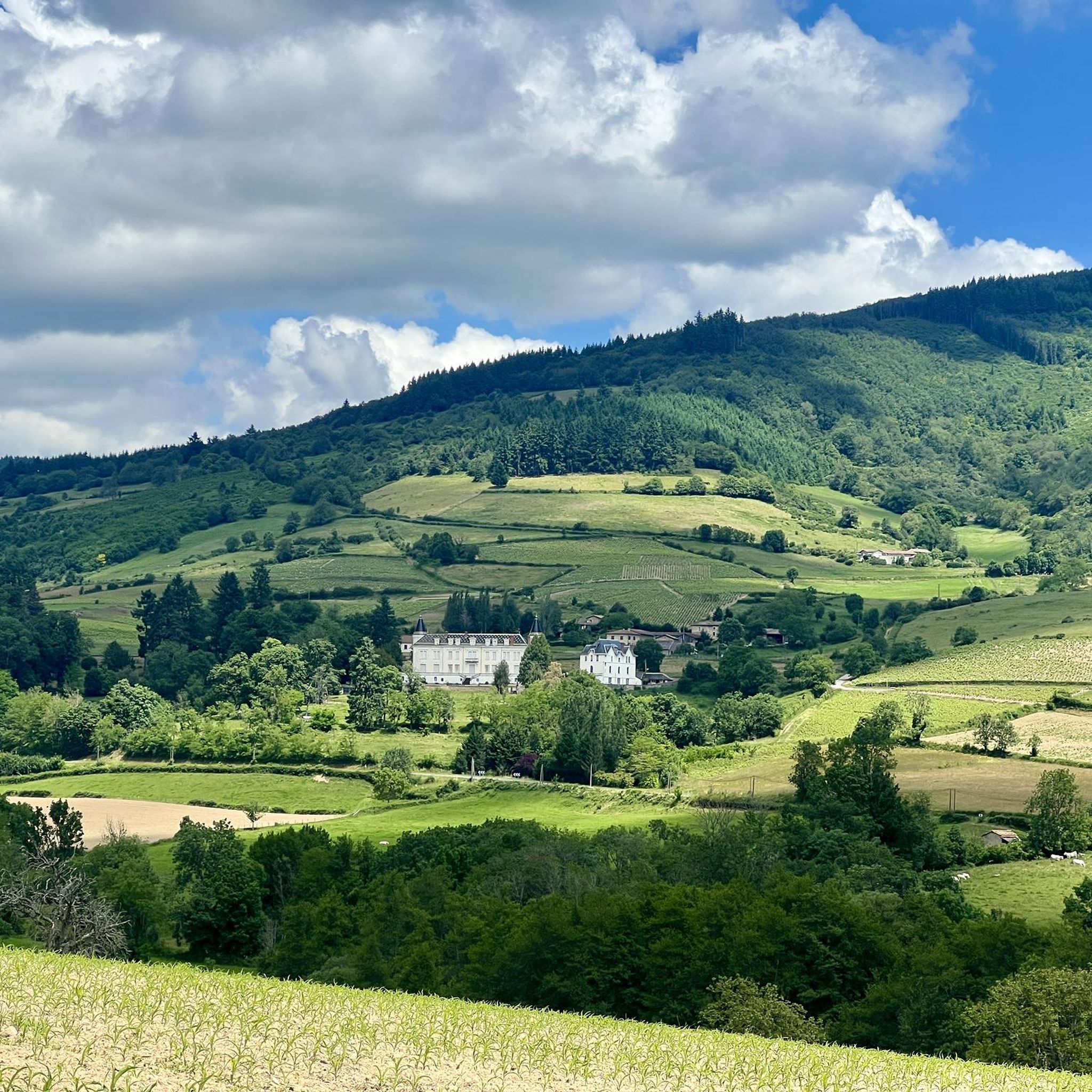
Hiking around Les Ardillats
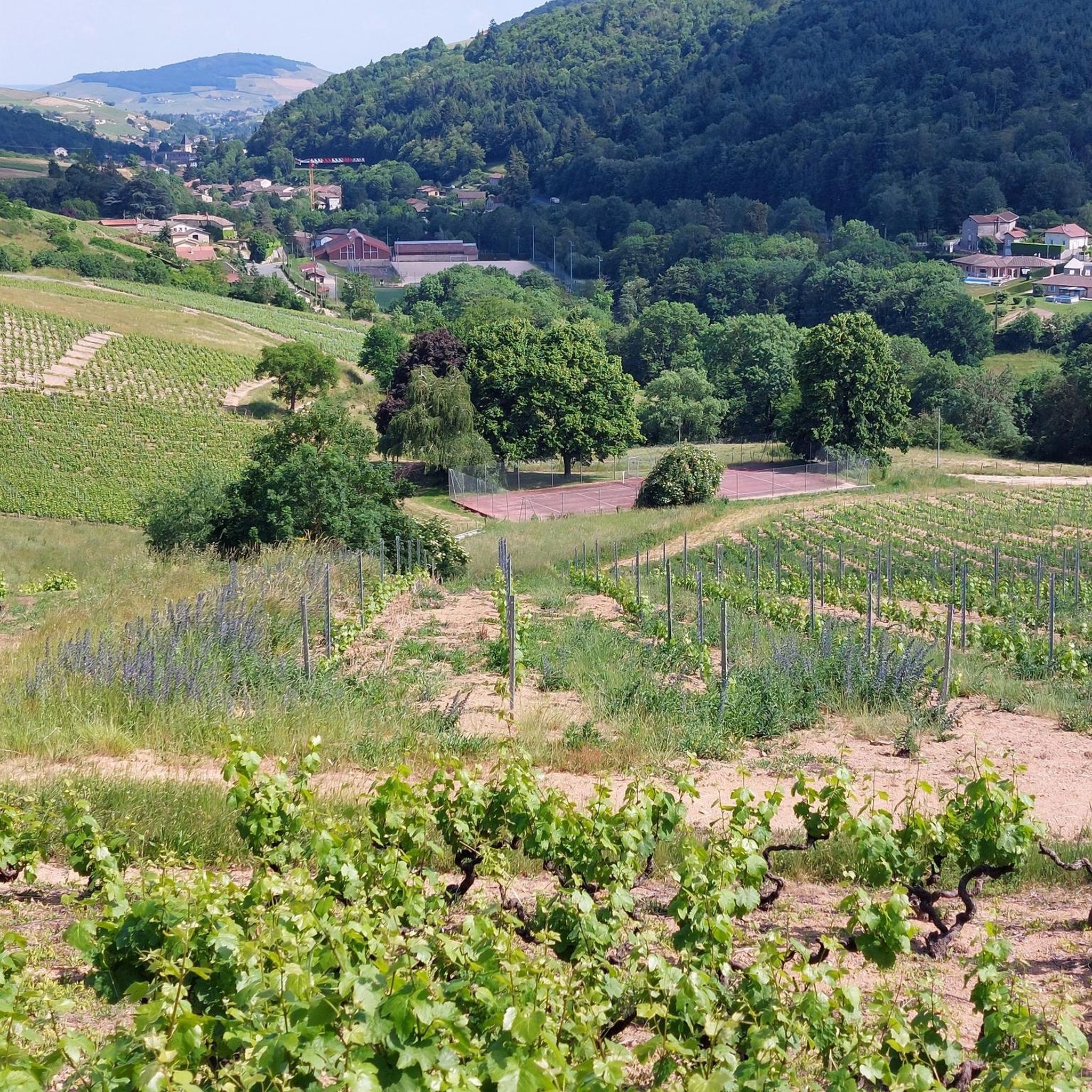
MTB Trails around Les Ardillats
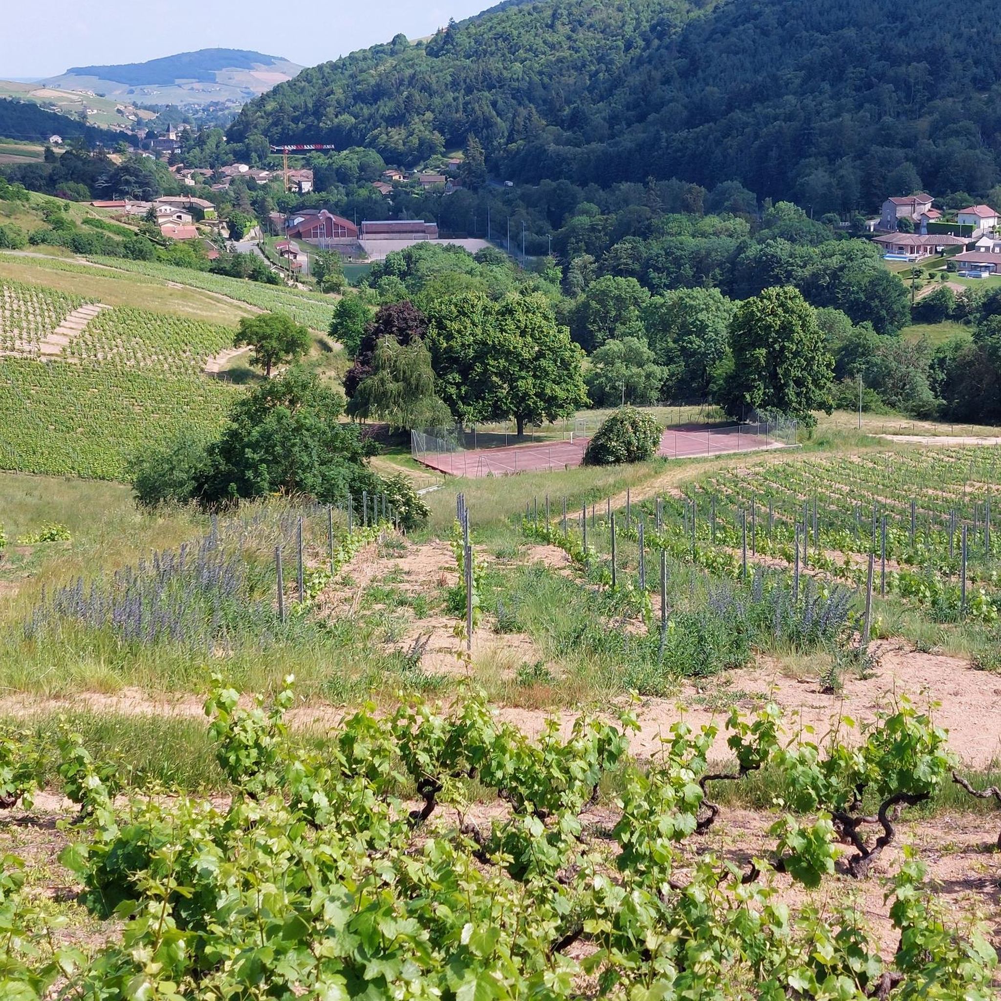
Cycling around Les Ardillats
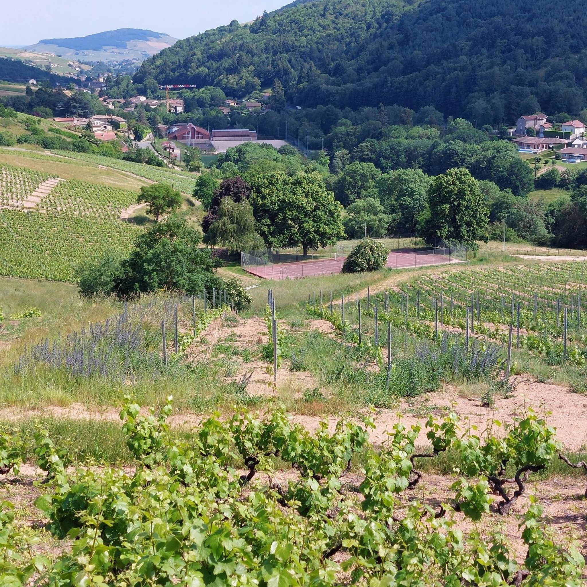
Road Cycling Routes around Les Ardillats
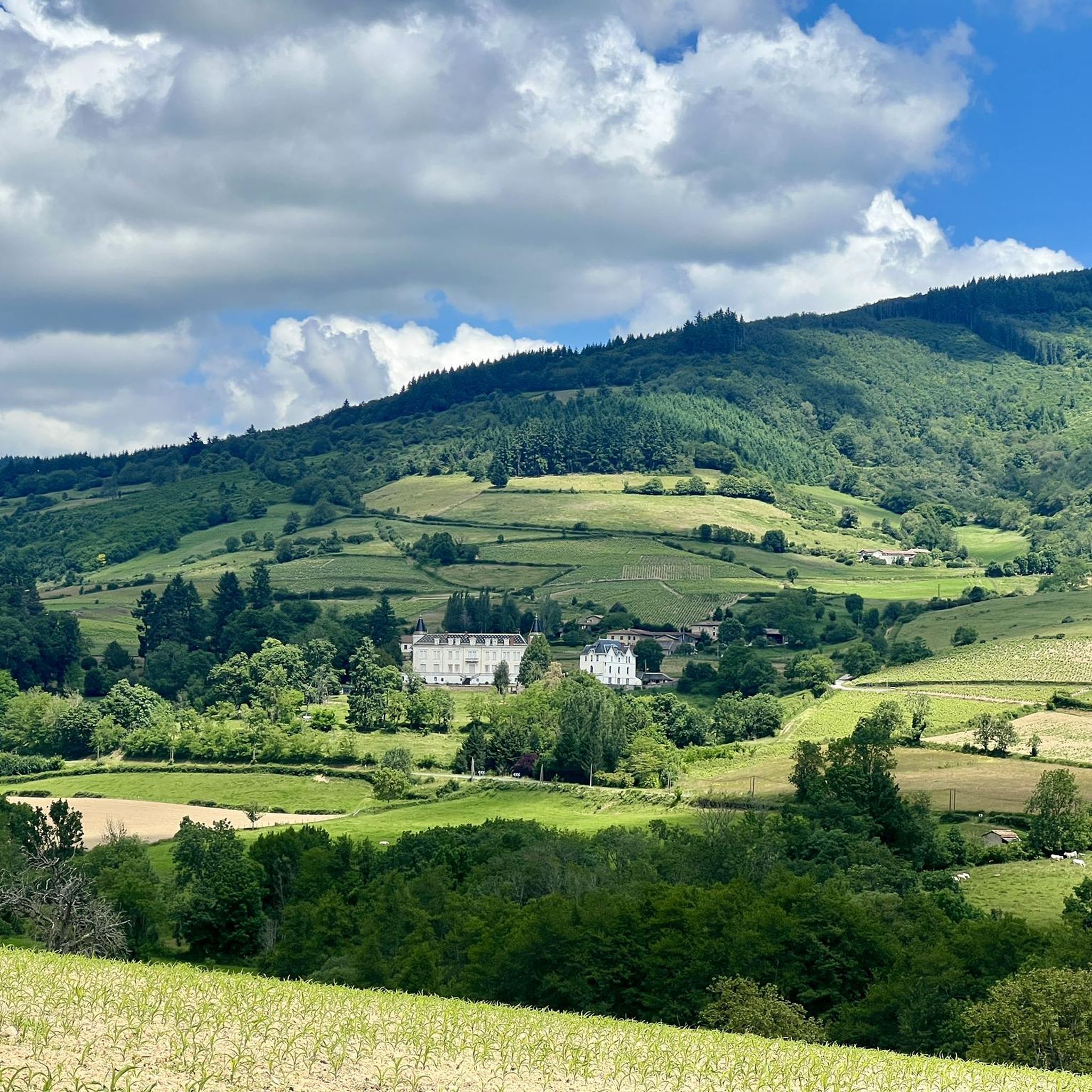
Running Trails around Les Ardillats

Gravel biking around Les Ardillats


Tips from the Community

Although the pass is located in France and is not extremely high, its name translates to "Siberia Pass". The name goes back to the often very cold, snow-rich winds and the harsh weather conditions in winter.
1
0
The Col de Durbize is a mountain pass at 550 meters above sea level in the municipality of Chiroubles, in the heart of the Beaujolais wine region. The pass is located in the Massif Central and, as an important road junction (intersection of roads D26, D86, and D18E1), connects surrounding wine villages such as Villié-Morgon and Beaujeu. It is particularly popular with road cyclists and hikers for its panoramic views.
0
0
The Col de Gerbet (612 m) is an idyllic mountain pass in the French wine-growing region of Beaujolais. Depending on the starting point, various roads with little traffic lead up to the pass via the D137. From Juliénas (south-east approach): This route is 7.3 kilometers long. It overcomes 342 meters of altitude with a steady, moderate gradient of 4.7% on average. The road winds through shady forest sections. From La Croix Blanche (west approach): A tougher variant 4.5 kilometers long. Here you conquer 270 meters of altitude with an average gradient of 6% and ramps of up to 11%.
1
0

Magnificent view after a nice, not very technical descent
1
0

Several possible routes through the vineyards towards Villié-Morgon, notably via Chiroubles.
1
0

Passage of the Gerbet (612 m) and Siberia (611 m) are beautiful, but also recall the martyrs of resistance who fought against occupiers.
1
0

Far from everything, you would almost feel like you were there. The view at the top over the Saône valley is just incredible. We take advantage of an ultra calm road without indecent percentages and with a lot of forest always appreciable in summer.
2
0

The Col de Gerbet from La Croix Blanche is 4.5 km long with a total drop of about 270 m. The average gradient is 6% with maximum gradients of 11%.
4
0
Frequently Asked Questions
What are some of the most popular mountain passes around Les Ardillats?
Among the most appreciated passes are Col de Casse Froide, known for its varied ascents and views of the Azergues side, and Col de la Sibérie, 638 m, which offers incredible views over the Saône valley, including the Alps and Mont Blanc on clear days. Col de Crie, 622 m is also popular as a starting point for ascents like Mont St Rigaud.
Are there any mountain passes with significant historical importance in the region?
Yes, the Col des Écharmeaux is historically significant, having served as a transit point since the 14th century. Napoleon is even said to have passed through here. The route near this pass also features a long railway tunnel and a deep ventilation shaft, offering unique historical and engineering points of interest.
What kind of views can I expect from the mountain passes in Les Ardillats?
The passes offer diverse and often panoramic views. From Col de la Sibérie, 638 m, you can see the Saône valley and even the Alps and Mont Blanc on clear days. Mont Saint-Rigaud, the highest point in the Rhône department, provides breathtaking panoramic views from its belvedere. Le Relais du Parasoir offers a stunning vista of the Beaujolais vineyards, the village of Clochemerle, and the Saône valley.
Are there family-friendly options or facilities near the mountain passes?
Yes, the Col de Crie Hiking and Trail Center is a great starting point for multiple hikes and is family-friendly. It offers picnic areas, games for children including a zip line, bike rental, a café, and a shop. It's open from April to October.
What outdoor activities can I do near these mountain passes?
The region around Les Ardillats is well-suited for hiking, cycling, and mountain biking. You can find numerous trails that showcase the diverse natural beauty, from vineyards to forests and meadows. For detailed routes, explore the Hiking around Les Ardillats, Running Trails around Les Ardillats, and MTB Trails around Les Ardillats guides.
What is the highest point in the Rhône department and what does it offer?
Mont Saint-Rigaud is the highest point in the Rhône department at 1,009 meters. It offers breathtaking panoramic views from its belvedere. The area features dense forests, clear springs, and diverse flora and fauna, making it ideal for hiking and mountain biking. The path here follows an old railway line and crosses the Châtelard viaduct.
What are the typical terrains and elevation changes encountered on these passes?
The region transitions from vineyards to forests and meadows, offering diverse landscapes. You'll encounter significant elevation changes, with routes ranging from gentle slopes to steeper sections. For example, the Col de Casse Froide has climbs from 3-4% over 9 km to steeper sections from La Varenne. The Col de la Croix des Fourches offers varied experiences depending on the approach, from easy climbs to longer, more gradual routes that become steeper within the forest.
Are there any circular routes that incorporate multiple passes?
Yes, the "Haut Beaujolais - The round of the 4 passes" route is a notable circular option. It invites tranquility amidst the highest peaks of the Rhône department, featuring shaded paths and scenic bumps, providing a comprehensive experience of the region's passes.
What is the best time to visit the mountain passes around Les Ardillats?
The region's diverse landscapes, from vineyards to forests, are enjoyable across seasons. The forest atmosphere, particularly around passes like Col de la Croix des Fourches, is refreshing in wet weather or summer. The Col de Crie Hiking and Trail Center is open from April to October, suggesting these months are popular for outdoor activities.
Can you tell me more about the Col de Saint-Bonnet?
The Col de Saint-Bonnet, reaching an altitude of 646 meters, offers beautiful panoramas, especially from the climbs originating in Salles-Arbuissonnas or Rivolet. While the ascent from Salles is less difficult, the Rivolet route presents steeper sections. From here, visitors can also reach Le Relais du Parasoir for additional views.
What makes the Cambuse Pass unique?
The Cambuse Pass is unique because it can be approached via three or even five possible climbs. The main route from Azergues via Grandris offers good road conditions and gentle gradients (3-4% over 9 km), providing beautiful landscapes and clear views. Alternative climbs are also possible from Cublize or Magny via Meaux la Montagne on the Rhine valley side.
What kind of natural features can I expect to see around the passes?
The region is characterized by a transition from vineyards to dense forests and lush meadows. You'll find clear springs, diverse flora and fauna, and significant elevation changes. Many passes offer refreshing forest atmospheres, especially during warmer months, and opportunities to observe the natural beauty of the Beaujolais region.
Most popular routes around Les Ardillats
Most popular attractions around Les Ardillats

Get inspired with the komoot mobile app


Explore more
See even more epic mountain passes by checking out these guides around Les Ardillats:
