The best running trails around Villepail
4.5
(18)
688
runners
91
runs
Jogging routes around Villepail offer diverse terrain within the Mayenne department, characterized by extensive woodlands and proximity to significant natural features. The region is situated near the Mont des Avaloirs, the highest point in western France, providing varied elevation for runners. Dense forests like the Multonne Forest and Bois de Villeray offer shaded paths and tranquil environments. Villepail's location also provides access to the Regional Natural Park Normandie-Maine, ensuring a wealth of preserved nature and trails for running.
Best jogging…
Last updated: July 7, 2026
4.14km
00:31
70m
70m
Jog the easy 2.6-mile Corniche de Pail Trail for varied terrain, panoramic views, and wildlife spotting in Parc naturel régional et Géoparc
4.0
(1)
11
runners
10.7km
01:07
70m
70m
Moderate run. Good fitness required. Mostly paved surfaces. Suitable for all skill levels.

Sign up for free
11
runners
5.93km
00:37
30m
30m
Moderate run. Good fitness required. Mostly paved surfaces. Suitable for all skill levels.
9
runners
13.0km
01:39
260m
260m
Moderate run. Good fitness required. Mostly accessible paths. Some sure footedness required.
6
runners
15.2km
01:54
280m
280m
Hard run. Very good fitness required. Mostly accessible paths. Some sure footedness required.
Get access to more routes and recommendations from other explorers.
Sign up for free
Already have an account?
Our route recommendations are based on thousands of hikes, rides, and runs completed by other people on komoot.
Start today with a free account
Your next adventure awaits.
Login or Signup

Tips from the Community


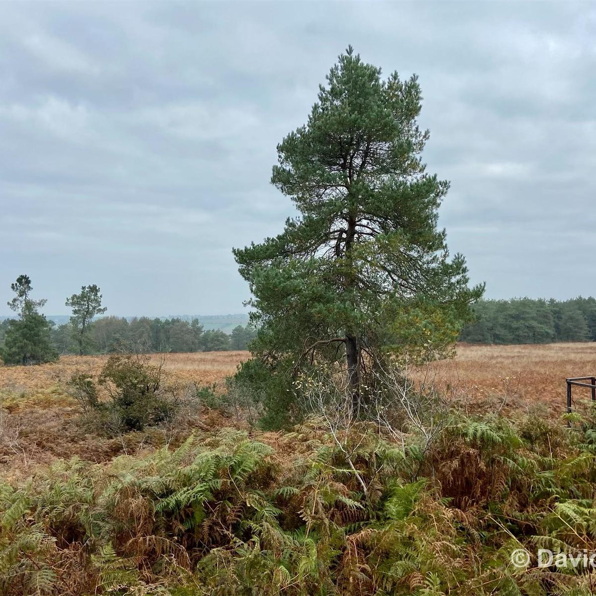
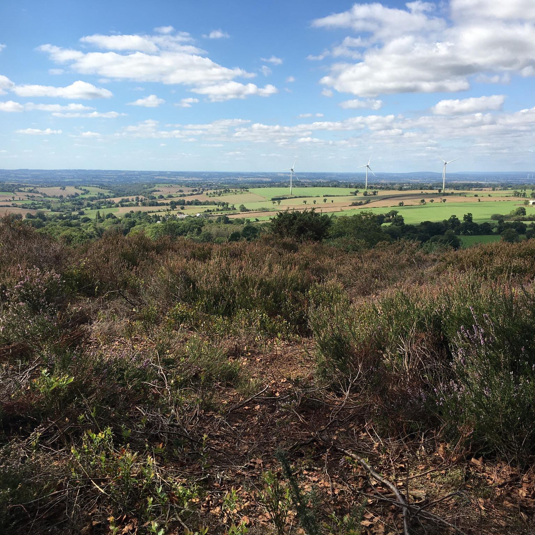
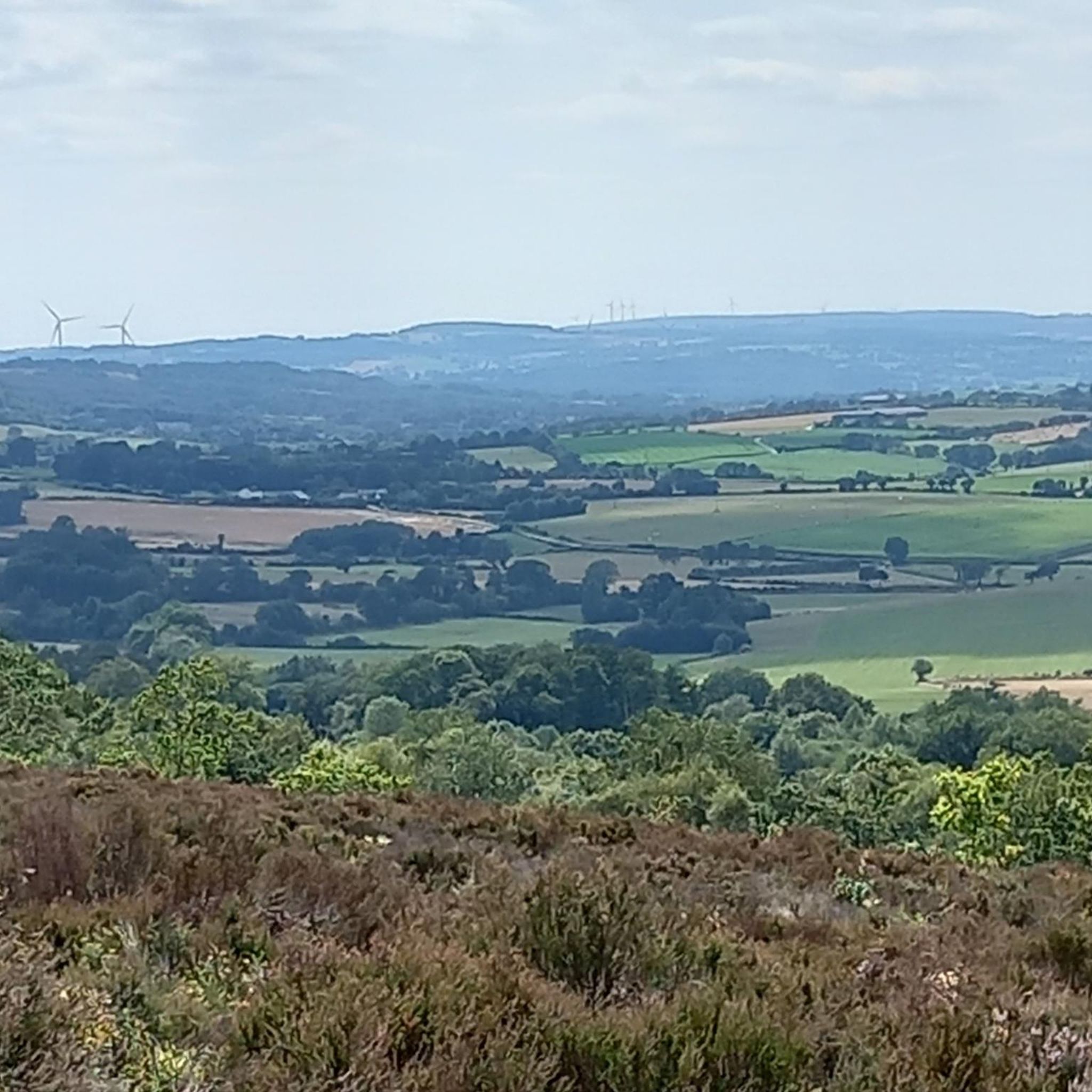
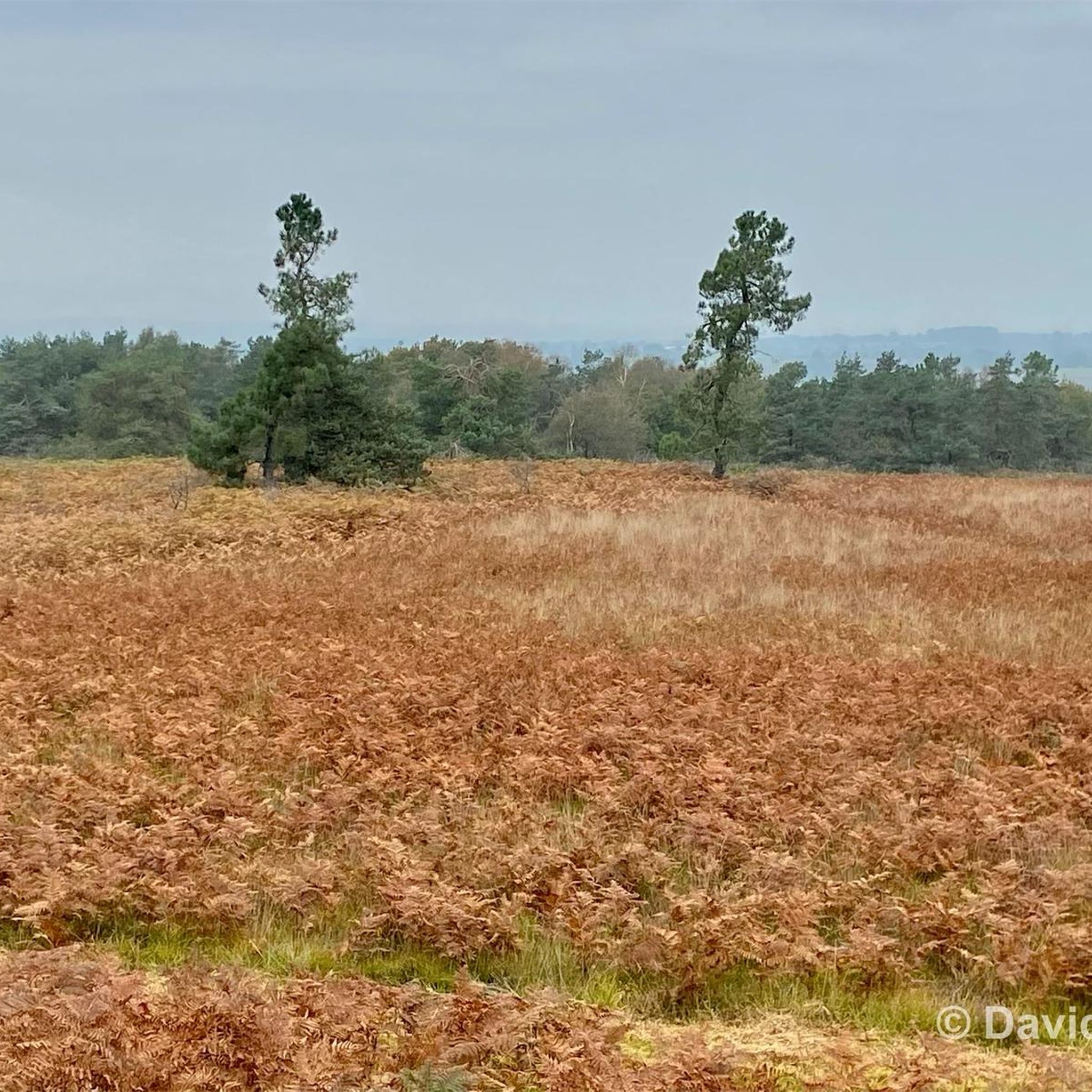
At 383 m above sea level, the view is breathtaking. The summit itself is an important stopover for migrating birds. The flora and fauna are interesting, especially the heathers and ferns which spread over the moors. Wild and open, this habitat is unique.
2
0
At 383 m altitude, the view is breathtaking. The summit itself is an important stopover for migrating birds. The flora and fauna are interesting, especially the heathers and ferns which spread over the moors. Wild and open, this habitat is unique.
2
0

A pretty stretch of the old railway lines of the Mayenne which connects Javron to Mayenne. A safe route through the bocage... Ideal for outings with young children!
1
0
Frequently Asked Questions
How many running routes are available around Villepail?
There are over 80 dedicated running routes around Villepail, catering to various fitness levels. You'll find a good mix of easy, moderate, and challenging trails to explore.
Are there any easy jogging routes suitable for beginners or families?
Yes, Villepail offers several easy jogging routes perfect for beginners or a family outing. A great option is the Corniche de Pail Trail, an easy 4.1 km (2.6 miles) path that takes about 30 minutes to complete and offers varied terrain with panoramic views.
Where can I find more challenging running trails near Villepail?
For those seeking a more challenging run, the region around Villepail, particularly near the Mont des Avaloirs, provides routes with significant elevation changes. Consider the Étang de Villeray – Bois de Villeray loop from Villaines-la-Juhel, a difficult 15.8 km (9.8 miles) path winding through the Bois de Villeray, offering a demanding forest running experience.
What kind of scenery can I expect on the jogging routes?
Jogging routes around Villepail are characterized by extensive woodlands, varied elevation, and access to regional natural parks. You can expect tranquil forest paths, panoramic views from elevated points like the Mont des Avaloirs viewpoint, and diverse natural landscapes within the Regional Natural Park Normandie-Maine.
Are there any circular running routes in the area?
Yes, many of the running routes around Villepail are circular, allowing you to start and finish at the same point. Examples include the Bois de Villeray loop from Javron-les-Chapelles, a 10.7 km (6.7 miles) trail, and the Bois de Villeray loop from La Gare, a moderate 5.9 km (3.7 miles) option.
What are some notable natural features or landmarks to see while running?
While running, you can explore significant natural features like the Multonne Forest, known for its extensive wooded paths. The Mont des Avaloirs viewpoint offers stunning 360-degree views after a climb, making it a rewarding stop on a longer run. The charming village of Pré-en-Pail is also nearby.
Is Villepail a good destination for trail running?
Absolutely. Villepail's proximity to the Mont des Avaloirs and extensive forests like Multonne and Bois de Villeray makes it an excellent destination for trail running. The varied terrain and natural settings provide a rewarding experience for off-road runners.
What do other runners say about the trails in Villepail?
The running routes in Villepail are highly rated by the komoot community, with an average score of 4.5 stars from over 10 reviews. More than 600 runners have used komoot to explore the varied terrain, often praising the quiet woodlands and scenic views.
Are the running routes around Villepail suitable for dogs?
Many natural areas and forest trails around Villepail, including those within the Regional Natural Park Normandie-Maine, are generally dog-friendly. However, it's always recommended to keep dogs on a leash and respect local regulations, especially in protected areas or near wildlife.
What is the best time of year to go jogging in Villepail?
Villepail offers excellent jogging opportunities throughout the year. The extensive wooded paths of the Multonne Forest provide ample shade during warmer months, making summer runs enjoyable. The changing foliage in autumn and crisp air in spring also offer beautiful running conditions.
How long do the running routes typically take to complete?
The duration of running routes around Villepail varies significantly based on distance and difficulty. Easy routes like the Corniche de Pail Trail can be completed in about 30 minutes, while more challenging and longer loops, such as the Signal de Villepail loop from Crennes-sur-Fraubée (12.9 km), might take closer to 1 hour 40 minutes or more.
Most popular attractions around Villepail

Get inspired with the komoot mobile app


Explore more
Browse the best Running Trails & Routes in other regions.
