The best running trails around Saint-Calais-Du-Désert
4.5
(10)
423
runners
67
runs
Jogging routes around Saint-Calais-Du-Désert are set within the Normandie-Maine Regional Natural Park, offering diverse natural landscapes. The commune features unspoiled forests and varied terrain, with elevations ranging from 153 to 288 meters, providing a mix of challenges for runners. The Mayenne river flows through the area, contributing to scenic riverside running routes and shaded paths bordered by large trees.
Best jogging routes around Saint-Calais-Du-Désert
- The most popular jogging route is Avaloirs Viewpoint – Mont des Avaloirs viewpoint loop from Pré-en-Pail-Saint-Samson…
Last updated: October 12, 2026
66
runners
26.6km
03:08
470m
470m
Hard run. Very good fitness required. Mostly paved surfaces. Suitable for all skill levels.
7
runners
9.02km
00:58
80m
80m
Moderate run. Good fitness required. Mostly paved surfaces. Suitable for all skill levels.

4
runners
9.75km
01:02
150m
150m
Moderate run. Good fitness required. Mostly paved surfaces. Suitable for all skill levels.
4
runners
10.9km
01:09
150m
150m
Moderate run. Good fitness required. Mostly paved surfaces. Suitable for all skill levels.
5.0
(1)
5
runners
10.2km
01:05
90m
90m
Moderate run. Good fitness required. Mostly paved surfaces. Suitable for all skill levels.
Get access to more routes and recommendations from other explorers.
Already have an account?
Our route recommendations are based on thousands of hikes, rides, and runs completed by other people on komoot.
Start today with a free account
Your next adventure awaits.
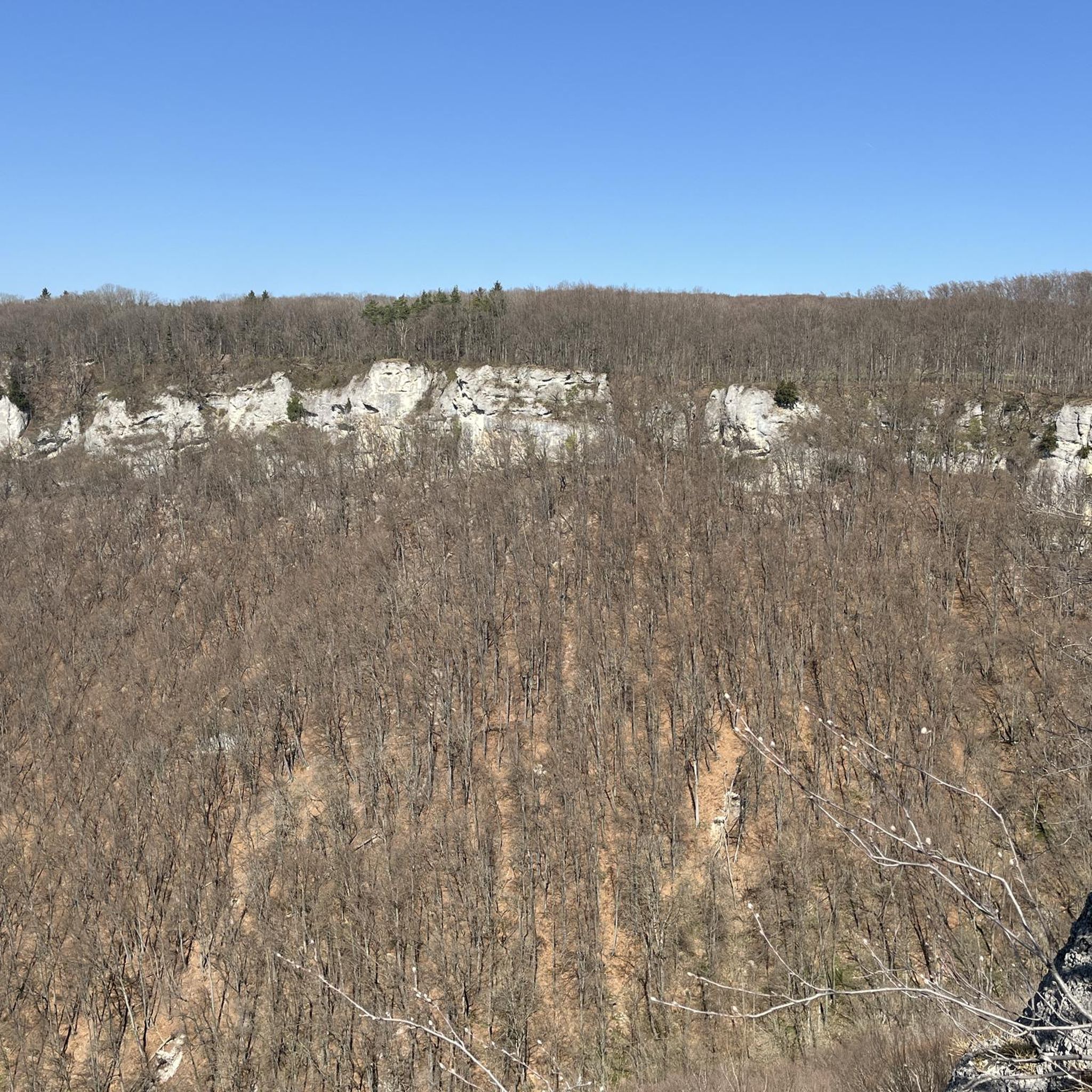
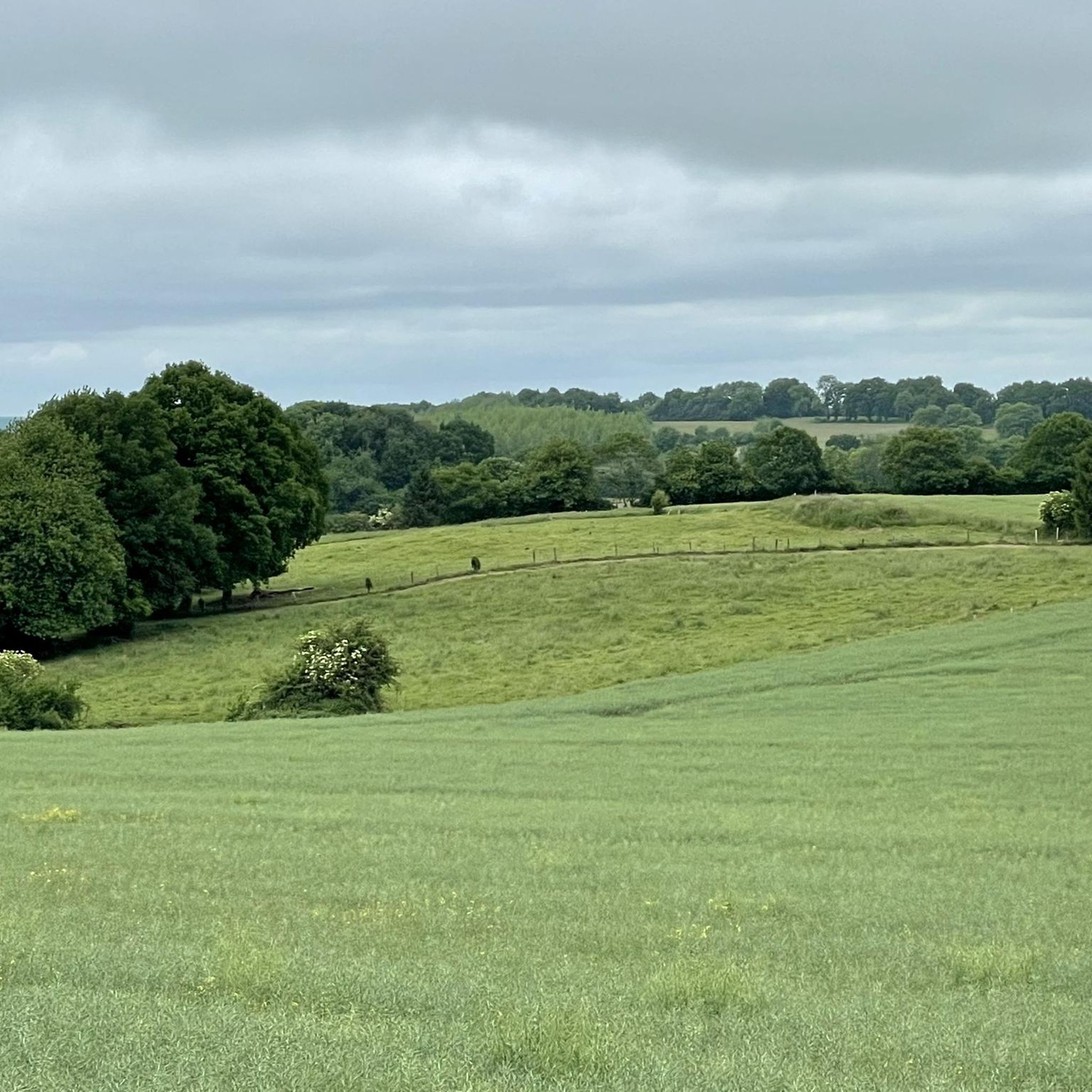
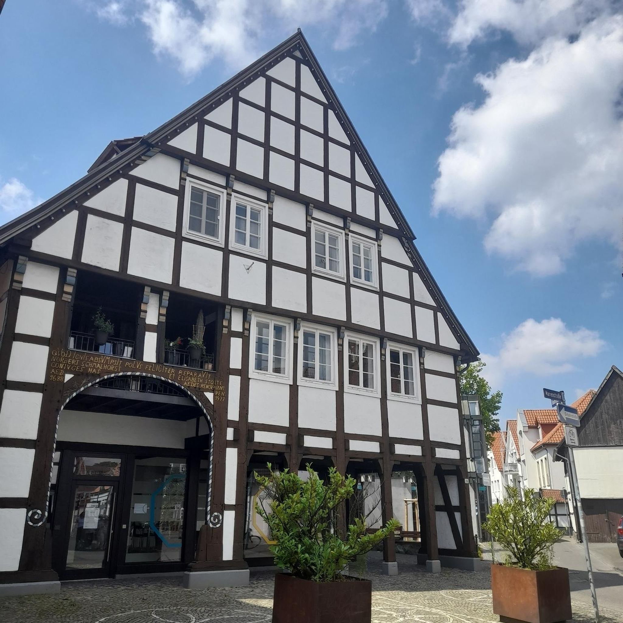


Tips from the Community

Riding up there by bike was quite strenuous, but the view from the top was worth the effort. It was well worth it.
0
0

An endless false flat. Remember to carry water because there's nothing to refuel.
0
0

Beautiful 360 degree view
1
0

Located in Mayenne, Mont des Avaloirs is the highest point of the Armorican massif. It is part of the Normandy-Maine Regional Natural Park and enjoys the status of a Global Geopark. The belvedere, built in 1994 and covered with a magnificent colorful fresco, painted in 2019 by the Franco-British artist Seb Toussaint. It offers a 360° view of all the surrounding forests and peaks.
0
0

From its height of 416 meters, Mont des Avaloirs is the highest point of the Armorican Massif. At the top there is a belvedere which offers a 360 degree panorama.
2
0

Pré-en-Pail is a charming village in the Mayenne. Nestled in the heart of beautiful green countryside, it offers a peaceful and welcoming atmosphere. With its traditional stone houses and picturesque church, Pré-en-Pail exudes authenticity. Here you pedal between preserved nature and gentle tranquility.
0
0

Alencon is an excellent place to drive on the former railway line. You can also continue along the path towards la Mele-sur-Sarthe. The track is absolutely flat, with firm gravel and plenty of shade. Ideal when the sun burns down from above in summer.
2
0

Highest point of the Armorican massif
1
0
Frequently Asked Questions
How many running routes are available around Saint-Calais-Du-Désert?
There are over 50 dedicated running routes around Saint-Calais-Du-Désert, offering a wide variety of options for different skill levels and preferences. The area is known for its diverse natural landscapes within the Normandie-Maine Regional Natural Park.
Are there easy running trails for beginners or casual joggers?
Yes, Saint-Calais-Du-Désert offers a few easy running trails. For instance, the Pré-en-Pail loop from Pré-en-Pail-Saint-Samson is a moderate 8 km route that provides a good option for a less strenuous run.
What kind of terrain can I expect on the jogging routes?
The terrain around Saint-Calais-Du-Désert is varied, with elevations ranging from 153 to 288 meters. You can expect unspoiled forests, picturesque views, and paths bordered by large trees, providing pleasant shaded sections. The Mayenne river also contributes to scenic riverside routes.
Are there any challenging running routes for experienced athletes?
Absolutely. For those seeking a challenge, routes like the Avaloirs Viewpoint – Mont des Avaloirs viewpoint loop from Pré-en-Pail-Saint-Samson offer difficult terrain over 26 km, with significant elevation changes. Another demanding option is the Mont des Avaloirs viewpoint – Avaloirs Viewpoint loop from Pré-en-Pail-Saint-Samson, a difficult 15.6 km path.
What are some notable landmarks or points of interest I might see while running?
While running, you might encounter various points of interest. The Mont des Avaloirs viewpoint offers panoramic views. A path also leads to a replica of the Lourdes grotto. Further afield, but accessible, are historic sites like Carrouges Castle and the charming village of Saint-Ceneri-le-Gerei.
Are the running trails in Saint-Calais-Du-Désert suitable for families?
Many trails in the region are suitable for families, especially those looking for a leisurely walk or a gentle jog. The varied landscapes and shaded paths make for an enjoyable outdoor experience. It's advisable to check the difficulty and length of specific routes to match your family's capabilities.
Can I bring my dog on the jogging routes?
Generally, dogs are welcome on many outdoor trails in the Normandie-Maine Regional Natural Park, provided they are kept under control, especially in areas with wildlife or livestock. Always check local signage for specific restrictions on individual paths.
What do other runners enjoy most about jogging in Saint-Calais-Du-Désert?
The area is highly rated by the komoot community, with an average score of 4.4 stars. Reviewers often praise the unspoiled forests, varied elevations, and the peaceful, shaded paths that make for a refreshing running experience. The diverse network of trails caters to different ability levels.
Are there circular running routes available?
Yes, many of the running paths around Saint-Calais-Du-Désert are designed as loops, allowing you to start and finish at the same point. Examples include the Forêt de Multonne loop from Lalacelle and the Pré-en-Pail loop from Lalacelle.
When is the best time of year to go running in Saint-Calais-Du-Désert?
The region is enjoyable for outdoor activities throughout much of the year. Spring and autumn offer pleasant temperatures and beautiful scenery with changing foliage. Summer provides shaded paths, while winter can offer crisp, quiet runs, though some trails might be muddy.
Is there parking available near the trailheads?
While specific parking details vary by trailhead, many popular starting points for hiking and running routes in the Normandie-Maine Regional Natural Park, especially near villages or attractions, typically offer designated parking areas. It's recommended to check the route details on komoot for specific parking information.
Are there any long-distance running trails in the area?
Yes, for those looking for longer runs, routes like the Avaloirs Viewpoint – Mont des Avaloirs viewpoint loop from Pré-en-Pail-Saint-Samson cover nearly 27 km, providing a substantial distance for endurance training or a lengthy exploration of the natural park.
Most popular routes around Saint-Calais-Du-Désert
Most popular attractions around Saint-Calais-Du-Désert

Get inspired with the komoot mobile app


Explore more
Browse the best Running Trails & Routes in other regions.
