The best road cycling routes around Dième
4.5
(129)
2,832
riders
160
rides
Road cycling routes around Dième traverse a landscape characterized by significant elevation changes, featuring numerous cols and rolling hills. The region offers a mix of challenging climbs and scenic descents, with routes often winding through rural areas. Road cyclists can expect varied terrain, from valley roads to higher passes, providing diverse riding experiences.
Best road cycling routes around Dième
- The most popular road cycling route is Sachieux Climb loop from Chamelet, a 31.2 miles (50.2 km) trail that takes…
Last updated: July 15, 2026
4.6
(10)
132
riders
58.2km
02:59
980m
980m
Hard road ride. Very good fitness required. Mostly well-paved surfaces and easy to ride.
5.0
(1)
49
riders
50.8km
02:18
380m
380m
Moderate road ride. Good fitness required. Mostly well-paved surfaces and easy to ride.

Sign up for free
21
riders
35.1km
01:58
730m
740m
Moderate road ride. Good fitness required. Some segments of this route may be unpaved and difficult to ride.
18
riders
113km
06:15
2,270m
2,270m
Hard road ride. Very good fitness required. Mostly well-paved surfaces and easy to ride.
16
riders
42.0km
02:15
750m
750m
Moderate road ride. Good fitness required. Mostly well-paved surfaces and easy to ride.
Get access to more routes and recommendations from other explorers.
Sign up for free
Already have an account?
Our route recommendations are based on thousands of hikes, rides, and runs completed by other people on komoot.
Start today with a free account
Your next adventure awaits.
Login or Signup


Tips from the Community

The Col de Durbize is a mountain pass at 550 meters above sea level in the municipality of Chiroubles, in the heart of the Beaujolais wine region. The pass is located in the Massif Central and, as an important road junction (intersection of roads D26, D86, and D18E1), connects surrounding wine villages such as Villié-Morgon and Beaujeu. It is particularly popular with road cyclists and hikers for its panoramic views.
0
0

Some might pass by this small, sacred monument without a second glance, but perhaps a passing biker might pause for a moment before the cross and, in keeping with ancient custom, utter a "Praised be Jesus Christ." Jesus Christ died for us on the cross, for the Son of God took this death upon himself out of love for us. Christiane Völkel offers a further reflection on this: "I have discovered that it benefits my relationship with God to at least be ready for those moments when God needs me to express his love [today]."
1
0

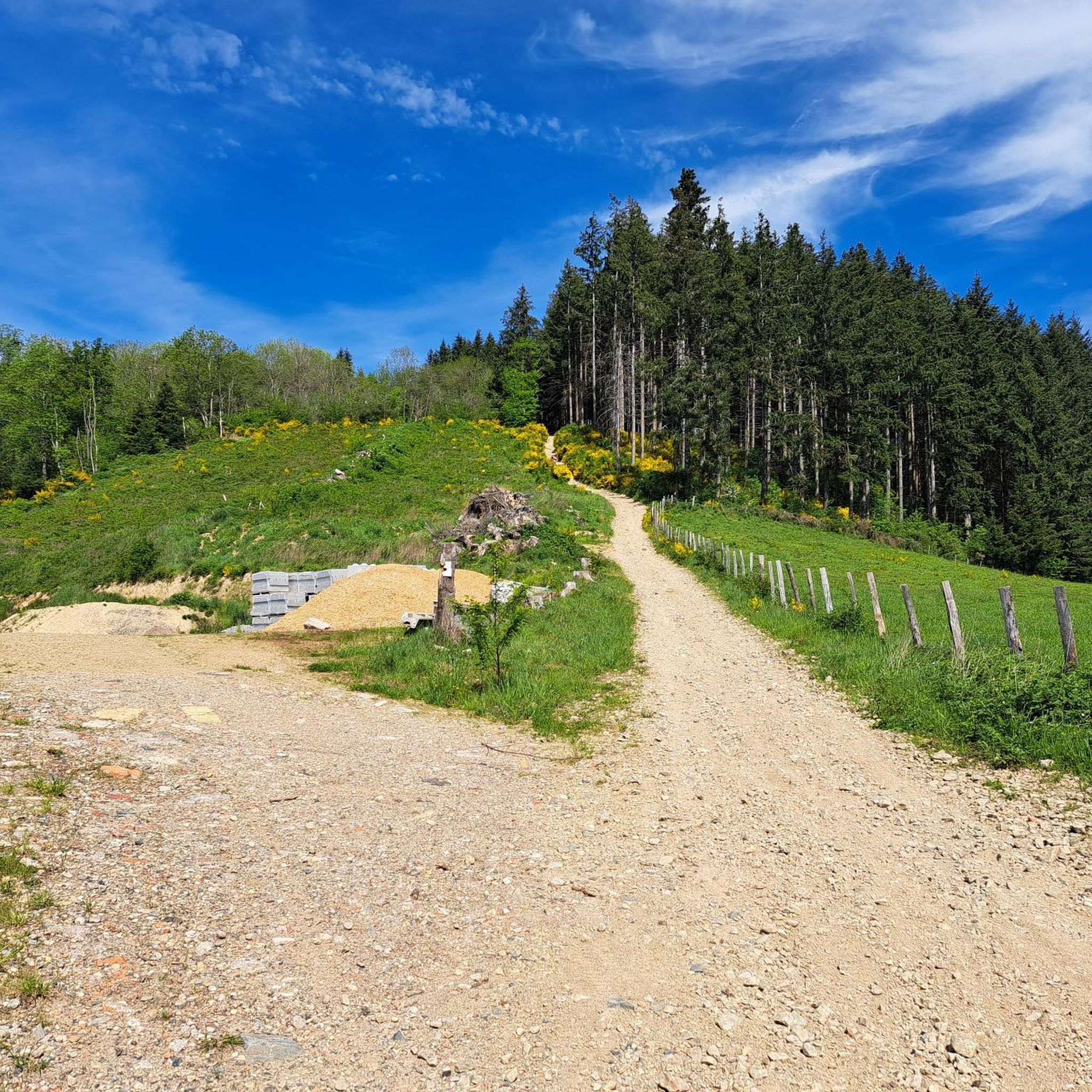
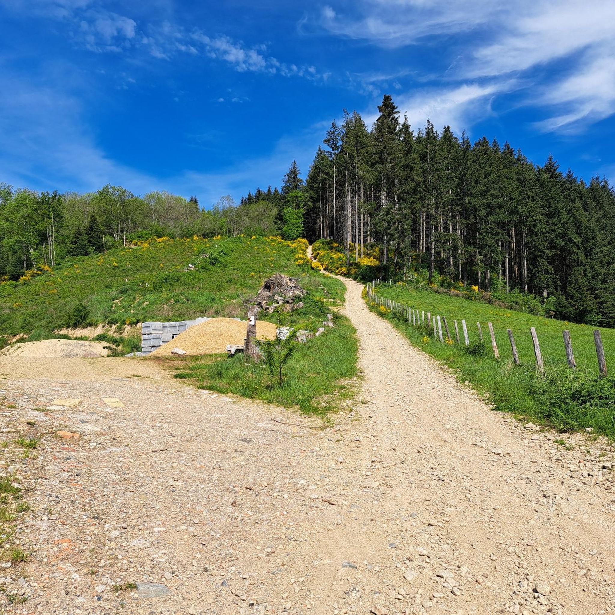
Here is the route for the ascent of the Col du Pilon starting from Amplepuis
1
0
Here is the route for the ascent of the Col des Sauvages starting from Amplepuis
1
0

A crossroads, with a very beautiful willow tree, which offers several nice routes for amateur cyclists.
0
0
Here is the route for the ascent of the Col de la Croix Rosier from Pont Gaillard
1
0

An essential landmark in the region for cyclists
0
0

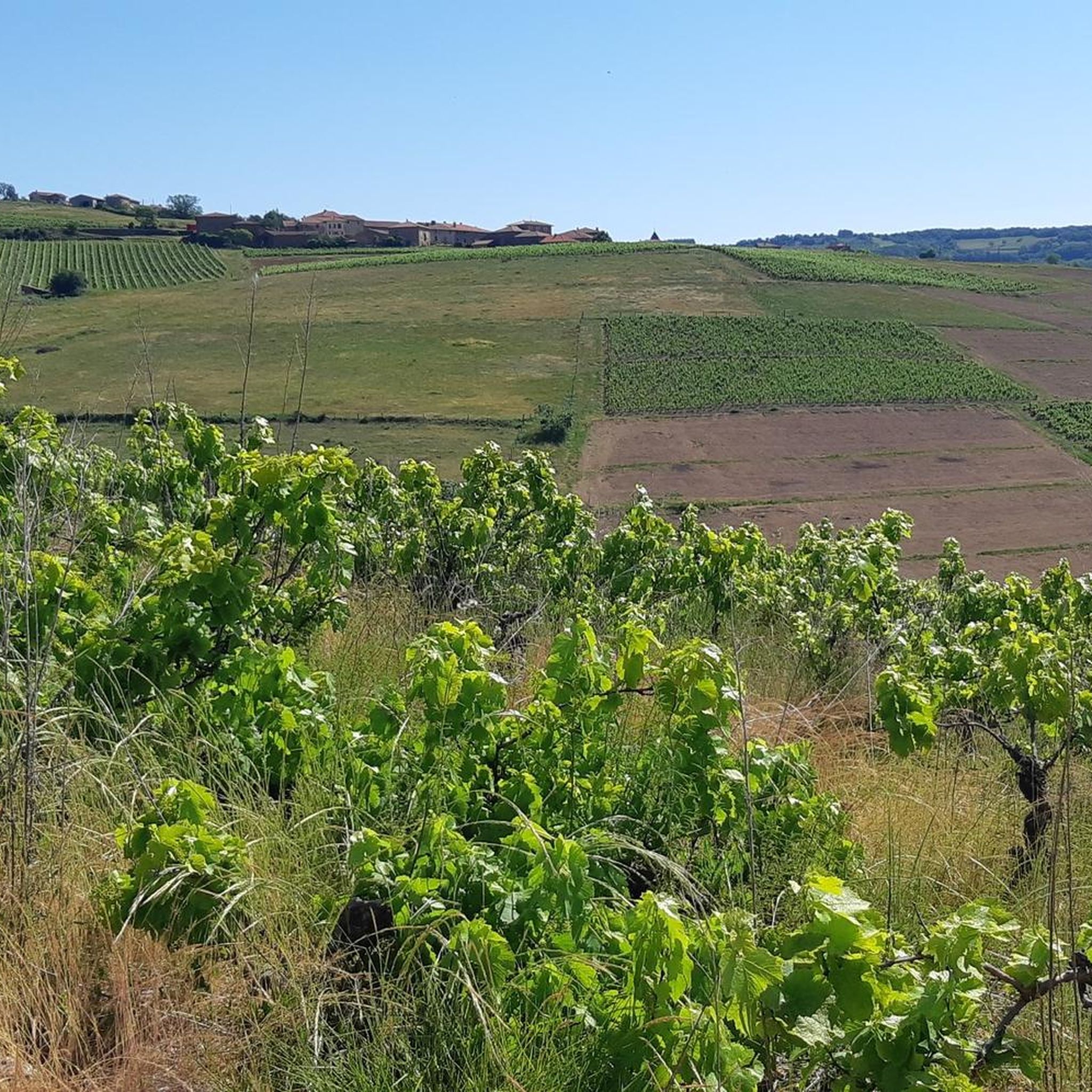
Great snack for a break with a magnificent view of the vineyards. 🌭🍺🍟
0
0
Frequently Asked Questions
Are there easy road cycling routes available in Dième?
Yes, Dième offers a selection of easier road cycling routes. While the region is known for its challenging terrain, there are 5 routes specifically categorized as easy, providing options for less experienced riders or those seeking a more relaxed pace.
What is the typical duration for road cycling routes in Dième?
The duration of road cycling routes in Dième varies significantly depending on the route's length and elevation. For example, the Sachieux Climb loop from Chamelet typically takes around 2 hours 15 minutes, while longer, more challenging routes like the Oingt – Col du Chêne (725 m) loop from Chamelet can take approximately 3 hours 20 minutes or more.
Where can I find parking for road cycling routes near Dième?
Parking is generally available in the villages and towns that serve as starting points for many routes, such as Chamelet or Saint-Just-d'Avray. Look for public parking areas within these communities, often near local amenities.
Are there family-friendly road cycling routes in Dième?
While Dième's landscape is characterized by significant elevation changes and many routes are moderate to difficult, there are a few easier options that might be suitable for families with older, more experienced children. It's advisable to check the route profiles for elevation gain and distance before setting out.
What are some challenging road cycling routes near Dième?
Dième is well-known for its challenging climbs and cols. For a demanding ride, consider the Le Saule d'Oingt – Le Saule d'Oingt loop from Saint-Just-d'Avray, which features substantial elevation gain over 35.5 miles. Another difficult option is the Oingt – Col du Chêne (725 m) loop from Chamelet, covering 40.7 miles with significant climbing.
When is the best time of year for road cycling in Dième?
The best time for road cycling in Dième is typically from spring through early autumn (April to October). During these months, the weather is generally milder, and the mountain passes are clear of snow, offering ideal conditions for tackling the region's varied terrain and cols.
Are there many loop road cycling routes in Dième?
Yes, loop routes are a prominent feature of road cycling in Dième. Many of the routes are designed as loops, allowing cyclists to start and finish in the same location without retracing their path. This includes popular options like the Croix de Paisselay – Col des Sauvages - 723 m loop from Valsonne.
What scenic viewpoints or attractions can I discover while road cycling in Dième?
Road cycling routes in Dième often pass through picturesque areas with notable attractions. You might cycle past the charming village of Oingt, or the natural monument of Le Saule d'Oingt. The region also features various mountain passes like Cambuse Pass and Col de la Croix des Fourches, offering expansive views.
Are there places to stop for refreshments or cafes along the road cycling routes?
Yes, you can find places to stop for refreshments. Some routes may pass through villages with local cafes or restaurants. For instance, Le relais du Parasoir is a known spot that serves as both a restaurant and a mountain pass, offering a convenient stop for cyclists.
What do other road cyclists say about the routes in Dième?
The road cycling routes in Dième are highly regarded by the komoot community, holding an average rating of 4.4 stars from over 90 reviews. Cyclists frequently praise the challenging climbs, scenic cols, and the diverse loop trails that cater to various ability levels, highlighting the rewarding experience of riding through the region's rural landscapes.
Can I expect to see wildlife or discover hidden gems on the road cycling routes?
Cycling through the rural areas and natural landscapes of Dième often provides opportunities to observe local wildlife, especially in quieter sections away from main roads. The region's charm lies in its rolling hills and less-traveled paths, which can lead to discovering picturesque hamlets and serene natural spots that feel like hidden gems.
How many road cycling routes are there in Dième?
There are over 150 road cycling routes around Dième, offering a wide variety of options for different skill levels and preferences. This includes 5 easy routes, 82 moderate routes, and 72 difficult routes, ensuring there's something for every road cyclist.
Are there any routes that include a lake or water feature?
While many routes focus on the region's hills and cols, some may offer views or pass near water features. For example, the nearby Lac des Sapins is a significant water body in the vicinity, and some routes might be planned to incorporate it or offer access to its surroundings.
Most popular attractions around Dième

Get inspired with the komoot mobile app


Explore more
Browse the best Road cycling routes in other regions.
