The best MTB trails around Saint-Appolinaire
4.5
(150)
654
riders
78
rides
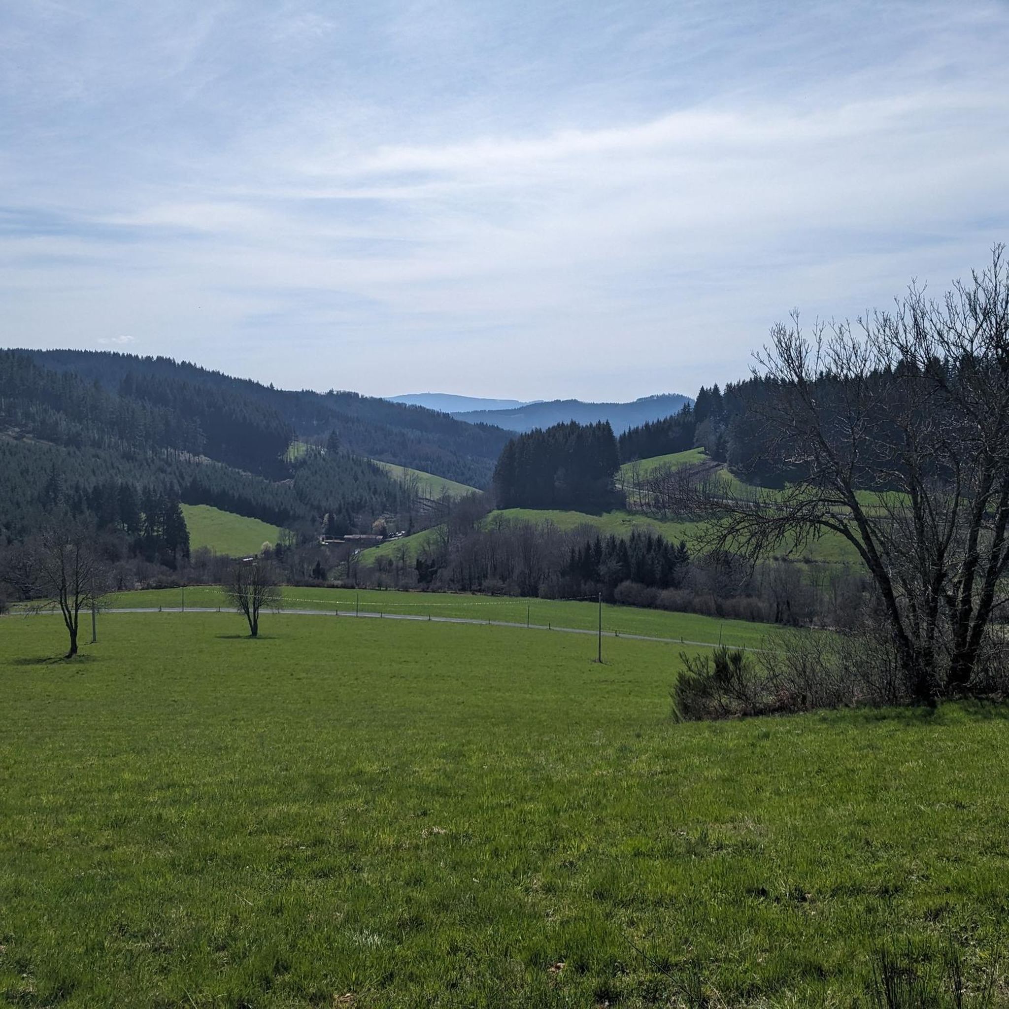
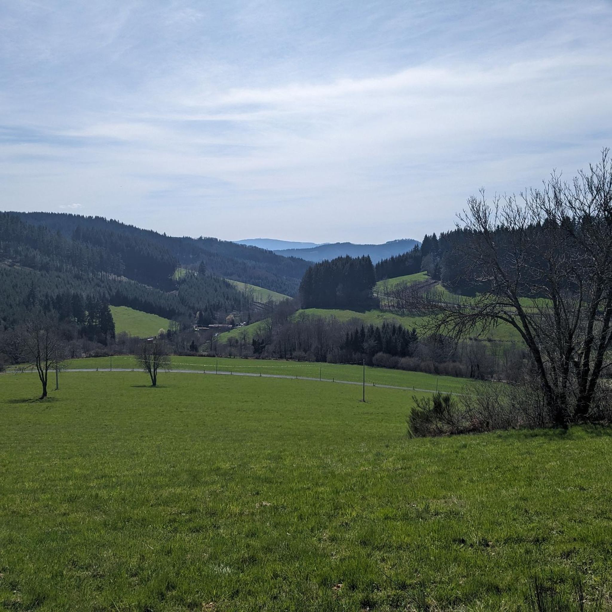
Mountain biking around Saint-Appolinaire offers diverse terrain within the Southern French Alps, characterized by impressive peaks and the Durance Valley. The region features varied landscapes, including dense forests of deciduous trees, larches, and firs, as well as rocky peaks overlooking Lake Serre-Ponçon. Trails often navigate through alpine pastures and offer views of natural landmarks like the Aiguilles de Chabrières. This environment provides significant elevation changes and varied surfaces suitable for mountain biking.
Best mountain bike trails around Saint-Appolinaire
- The most…
Last updated: July 2, 2026
21
riders
37.2km
04:05
1,310m
1,310m
Hard mountain bike ride. Very good fitness required. Advanced riding skills necessary.
4.7
(3)
15
riders
21.6km
02:18
710m
720m
Moderate mountain bike ride. Good fitness required. Advanced riding skills necessary.

Sign up for free
9
riders
38.8km
04:11
1,310m
1,310m
Hard mountain bike ride. Very good fitness required. Advanced riding skills necessary. Some portions of the route may require you to push your bike.
4.3
(3)
17
riders
48.6km
04:59
1,460m
1,460m
Hard mountain bike ride. Very good fitness required. Suitable for all skill levels.
4.0
(2)
5
riders
22.5km
02:16
660m
660m
Moderate mountain bike ride. Good fitness required. Suitable for all skill levels.
Get access to more routes and recommendations from other explorers.
Sign up for free
Already have an account?
Our route recommendations are based on thousands of hikes, rides, and runs completed by other people on komoot.
Start today with a free account
Your next adventure awaits.
Login or Signup


Tips from the Community

Accessible directly from the roadside, on the GR7. You will find two tables and two floors to set up the tent as well as toilets in the metal structure
0
0

beautiful view of the Alps when it is clear
0
0

At 782 m altitude, between the Azergues and Rhins valleys
0
0

Several beautiful roads and paths starting from this pass
0
0

Col de Favardy alt 856m Departure from many trails
0
0

This chapel was offered to the municipality of Ronno by Jean-Baptiste Dumas, a threshing contractor around 1850. It was following an accident with his threshing machine that he undertook to build a chapel. It was inaugurated on August 15, 1988 after restoration.
0
0
Lac des Sapins offers the largest biological swimming pool in Europe. It is located 440 meters above sea level in the heart of Beaujolais Vert. This environment is special since it has a space dedicated to swimming and a space for aquatic plants that purify, oxygenate and naturally regenerate the quality of the water. This place offers a thousand and one possibilities; hikes, bike rides, horseback riding or water activities you will not be outdone in this green setting.
0
0
This orientation table offers a beautiful 180 degree panorama from Villefranche-sur-Saône to Tarare. You enjoy a view of the Monts du Lyonnais, the Monts de Tarare, the Monts d'Or, the Pilat, and even on the massifs of the Vercors and the Alps on a clear day.
0
0
Frequently Asked Questions
How many mountain bike trails are available around Saint-Apollinaire?
There are over 70 mountain bike trails around Saint-Apollinaire, offering a wide range of options for different skill levels. You'll find everything from moderate forest paths to challenging mountain ascents.
What are the difficulty levels of mountain bike trails in Saint-Apollinaire?
The trails around Saint-Apollinaire cater to various skill levels. There are 3 easy routes, 47 moderate routes, and 20 difficult routes. This variety ensures that both beginners and experienced riders can find suitable challenges.
What kind of scenery can I expect on mountain bike trails in Saint-Apollinaire?
Mountain biking in Saint-Apollinaire offers dramatic alpine scenery with impressive peaks and breathtaking views. You'll ride through diverse forests of deciduous trees, larches, and firs, often overlooking the magnificent Lake Serre-Ponçon and the Durance Valley. The region also features rocky peaks and alpine pastures.
Are there any specific viewpoints or natural landmarks to look out for?
Yes, the region is rich in natural landmarks. You can find trails offering views of the distinctive Aiguilles de Chabrières. The village itself is perched to offer panoramic vistas of Lake Serre-Ponçon. Additionally, you might encounter highlights such as Cambuse Pass or Col de la Croix des Fourches along various routes.
Are there trails that go near Lake Serre-Ponçon or Lake Saint-Apollinaire?
Yes, many trails offer stunning views of Lake Serre-Ponçon. The village of Saint-Apollinaire itself provides one of the most beautiful panoramas of the lake. There is also a significant high-altitude glacial lake, Lake Saint-Apollinaire, at 1452 meters, which features an 8.8-kilometer mountain bike loop, offering an idyllic setting with crystal-clear waters.
What do other mountain bikers say about the trails in Saint-Apollinaire?
The mountain bike routes in Saint-Apollinaire are highly rated by the komoot community, with an average score of 4.5 stars from over 140 reviews. More than 670 mountain bikers have used komoot to explore the varied terrain, often praising the scenic alpine views and diverse landscapes.
Are there any circular mountain bike routes in the area?
Yes, many of the trails around Saint-Apollinaire are designed as loops. For example, the Mountainbike loop from Dième is a moderate 21.6 km path that navigates through varied terrain, including wooded sections and open areas, making it a great circular option.
What is the best time of year for mountain biking in Saint-Apollinaire?
The Southern French Alps, where Saint-Apollinaire is located, are generally best for mountain biking during the warmer months, typically from late spring through early autumn. This period offers favorable weather conditions and ensures trails are clear of snow, allowing access to the diverse alpine and forest paths.
Are there any longer mountain bike trails for experienced riders?
For experienced riders seeking longer challenges, trails like the Cambuse Pass – Col de la Croix des Fourches loop from Ronno offer a substantial ride. This difficult route spans nearly 48 km with significant elevation changes, providing an extensive adventure through mountain passes and valleys.
Are there any moderate trails that offer a good balance of challenge and scenery?
Absolutely. A great moderate option is the Fir Lake – Col de la Croix de l'Orme loop from Saint-Just-d'Avray. This 22.5 km trail offers a balanced ride through varied landscapes, including wooded sections, without being overly demanding, and provides scenic views.
What other activities can be enjoyed in the Saint-Apollinaire region besides mountain biking?
Beyond mountain biking, the Saint-Apollinaire area supports a wide array of outdoor activities. You can enjoy hiking, road cycling, climbing, via ferrata, canyoning, canoeing, and mountaineering in summer. In winter, popular activities include skiing, dog sledding, and snowshoeing, thanks to its proximity to Écrins National Park.
Most popular attractions around Saint-Appolinaire

Get inspired with the komoot mobile app


Explore more
Browse the best MTB trails in other regions.
