The best running trails around Grandris
4.4
(88)
3,683
runners
140
runs
Jogging around Grandris offers a diverse landscape characterized by rolling hills, forested areas, and scenic village surroundings. The region features a mix of challenging ascents and gentler paths, often leading through natural reserves and past local landmarks. Elevation changes are common, providing varied terrain for runners.
Best jogging routes around Grandris
- The most popular jogging route is Lake of the Fir Trees – Pretty village loop from Chambost-Allières, a 21.5 miles (34.6 km) trail that takes 4 hours 24…
Last updated: July 4, 2026
5.0
(1)
179
runners
34.7km
04:25
1,190m
1,190m
Hard run. Very good fitness required. Mostly paved surfaces. Suitable for all skill levels.
22
runners
30.0km
04:04
1,190m
1,190m
Hard run. Very good fitness required. Mostly paved surfaces. Suitable for all skill levels.

Sign up for free
5.0
(1)
6
runners
4.84km
00:32
100m
100m
Easy run. Great for any fitness level. Mostly paved surfaces. Suitable for all skill levels.
5
runners
12.5km
01:37
440m
440m
Hard run. Very good fitness required. Mostly paved surfaces. Suitable for all skill levels.
7
runners
9.64km
01:10
320m
320m
Hard run. Very good fitness required. Mostly paved surfaces. Suitable for all skill levels.
Get access to more routes and recommendations from other explorers.
Sign up for free
Already have an account?
Our route recommendations are based on thousands of hikes, rides, and runs completed by other people on komoot.
Start today with a free account
Your next adventure awaits.
Login or Signup

Tips from the Community


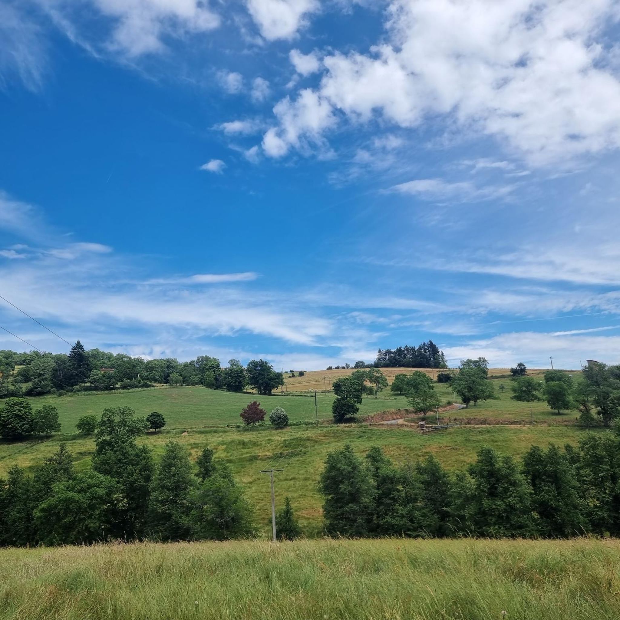
Beautiful pass at 736 m, quite gentle, 6.1% average. Nice to do by mixing with the 76 gravel hiking trail.
3
0

Magnificent tour of the lake, with restaurants and activities (tree climbing, paintball, boating...), 2 atmospheres with the dike side and the beach side, and the largest organic swimming pool in Europe. A must-have in Beaujolais Vert.
0
0

Pretty lake with a huge natural swimming pool, an adventure park and plenty of picnic space.
1
0

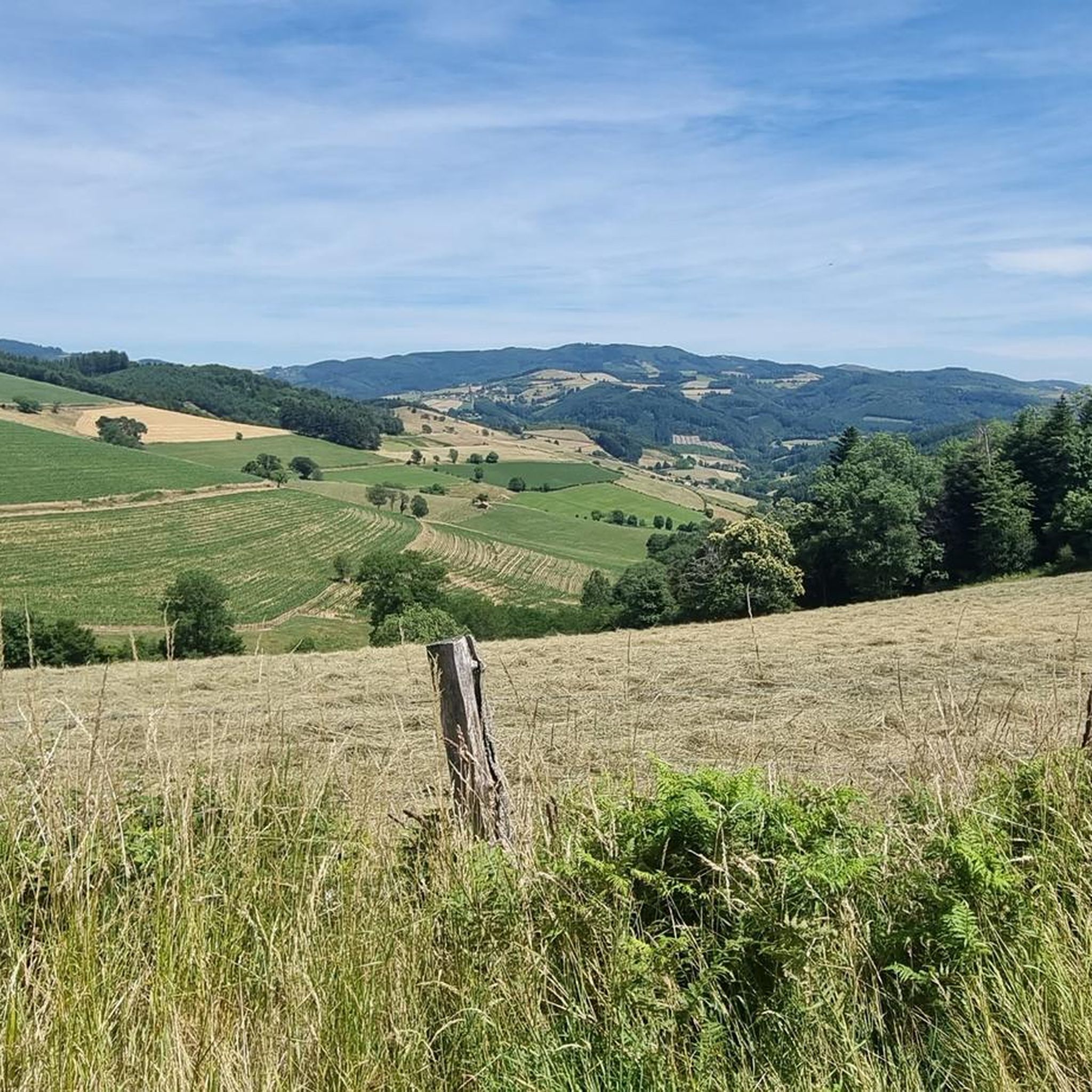
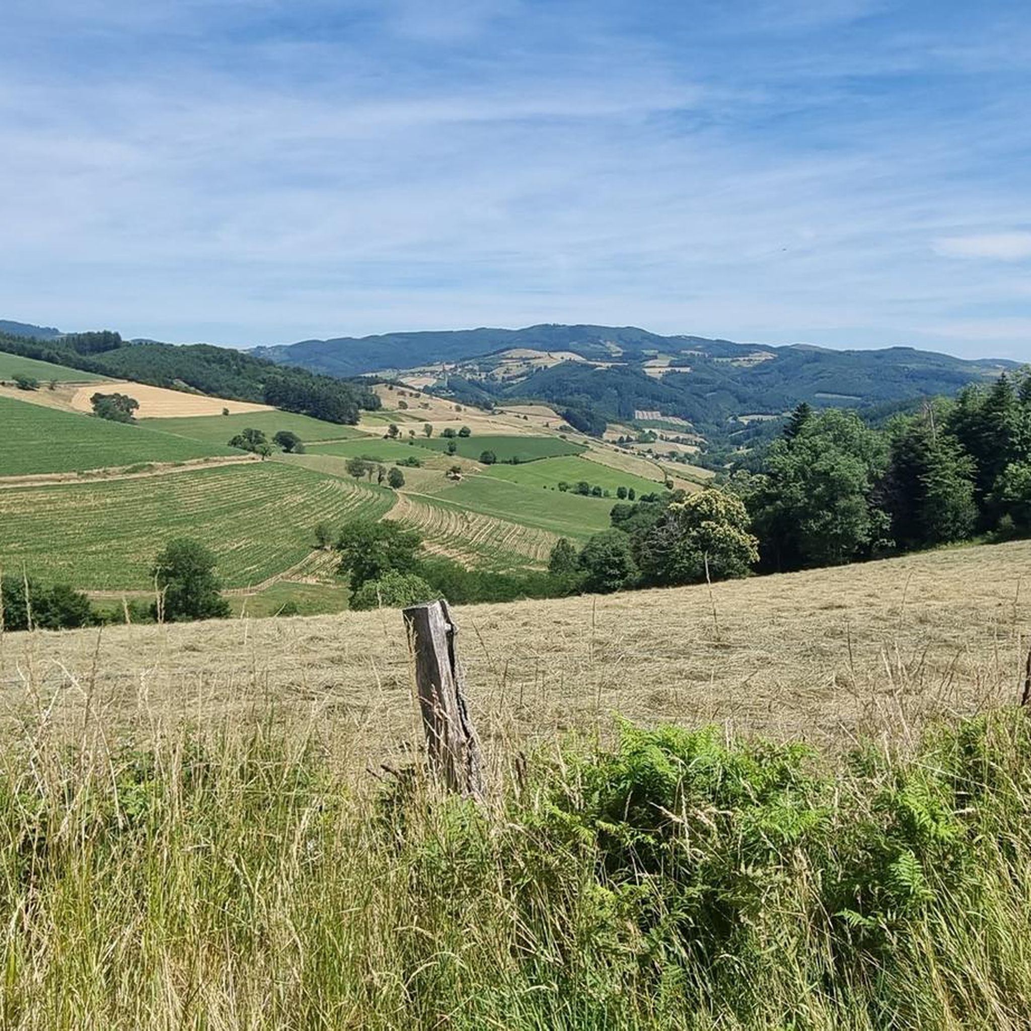
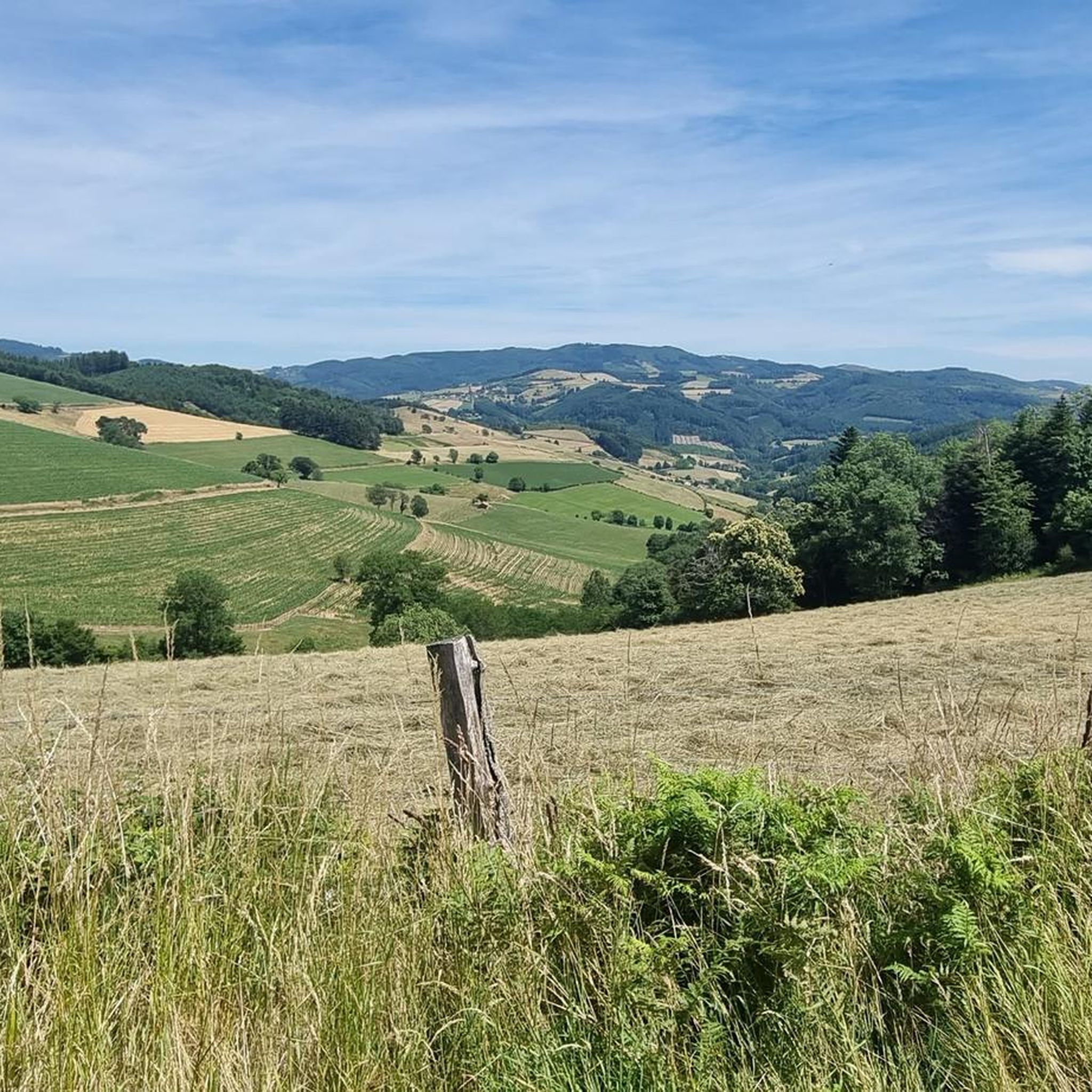
One of the most beautiful views of Beaujolais!
1
0

Lac des Sapins offers the largest biological swimming pool in Europe. It is located 440 meters above sea level in the heart of Beaujolais Vert. This environment is special since it has a space dedicated to swimming and a space for aquatic plants that purify, oxygenate and naturally regenerate the quality of the water. This place offers a thousand and one possibilities; hikes, bike rides, horseback riding or water activities you will not be outdone in this green setting.
0
0
Frequently Asked Questions
How many running routes are available around Grandris?
There are over 130 running routes around Grandris, offering a wide range of options for all skill levels. These include a mix of easy, moderate, and difficult trails.
Are there easy running trails suitable for beginners in Grandris?
Yes, Grandris offers several easy running trails perfect for beginners or those looking for a gentler pace. One such route is the Running loop from Meaux-la-Montagne, which is just under 5 km (3 miles) with minimal elevation gain.
What kind of terrain can I expect on the jogging routes in Grandris?
The jogging routes around Grandris feature diverse terrain, characterized by rolling hills, dense forested areas, and scenic village surroundings. You'll encounter a mix of challenging ascents and gentler paths, providing varied landscapes for your run.
Are there any running routes with good viewpoints or scenic spots in Grandris?
Many routes in Grandris offer scenic views, particularly those that traverse mountain passes. For panoramic vistas, consider routes that pass through areas like the Croix Montmain Pass. You can also find natural beauty spots like Lac des Sapins.
Are there any dog-friendly running trails in Grandris?
While specific restrictions vary, many of the natural trails and forest paths around Grandris are generally dog-friendly, especially if your dog is well-behaved and kept on a leash. Always be mindful of local regulations and wildlife, particularly in forested areas.
Are there any family-friendly running routes in Grandris?
For families, the easier and shorter loop trails are often the best choice. Look for routes with less elevation gain and well-maintained paths. The Running loop from Meaux-la-Montagne is a good example of a shorter, easier option.
What are some longer or more challenging running routes in Grandris?
For experienced runners seeking a challenge, Grandris has numerous difficult routes. The Croix Montmain Pass – The Pyramid loop from Lamure-sur-Azergues is a demanding 30 km (18.6 miles) path with significant elevation changes, offering panoramic views.
Are there any circular running routes around Grandris?
Yes, many of the running routes in Grandris are designed as loops, allowing you to start and finish at the same point. Examples include the The Pyramid – Source des Trois Notaires loop from Lamure-sur-Azergues and the Running loop from Meaux-la-Montagne.
What can I see along the running routes in Grandris?
Beyond the natural beauty of the forests and hills, you might encounter interesting landmarks. Highlights include natural monuments like Le Saule d'Oingt, the serene Lac des Sapins, and various mountain passes such as Cambuse Pass.
What do other runners enjoy most about jogging in Grandris?
The running trails in Grandris are highly rated by the komoot community, with an average score of 4.4 stars from over 90 reviews. Runners often praise the varied terrain, the peaceful forested sections, and the scenic beauty of the village loops and passes.
Is there parking available near the running trails in Grandris?
While specific parking information varies by trailhead, most villages and popular starting points for routes around Grandris, such as Lamure-sur-Azergues or Chambost-Allières, offer public parking facilities. It's advisable to check the route details for specific parking recommendations.
Can I access running routes in Grandris using public transport?
Access to some running routes in Grandris may be possible via local public transport, particularly those starting in larger villages like Lamure-sur-Azergues. However, given the rural nature of the region, public transport options might be limited, and driving to trailheads is often more convenient.
Are there any places to eat or drink near the running routes?
Yes, you can find places to refuel near some of the routes. For example, Le relais du Parasoir is a restaurant located near several mountain passes, offering a convenient stop for refreshments.
Most popular attractions around Grandris

Get inspired with the komoot mobile app


Explore more
Browse the best Running Trails & Routes in other regions.
