The best walks and hikes around Merzweiler
4.4
(1199)
6,070
hikers
242
hikes
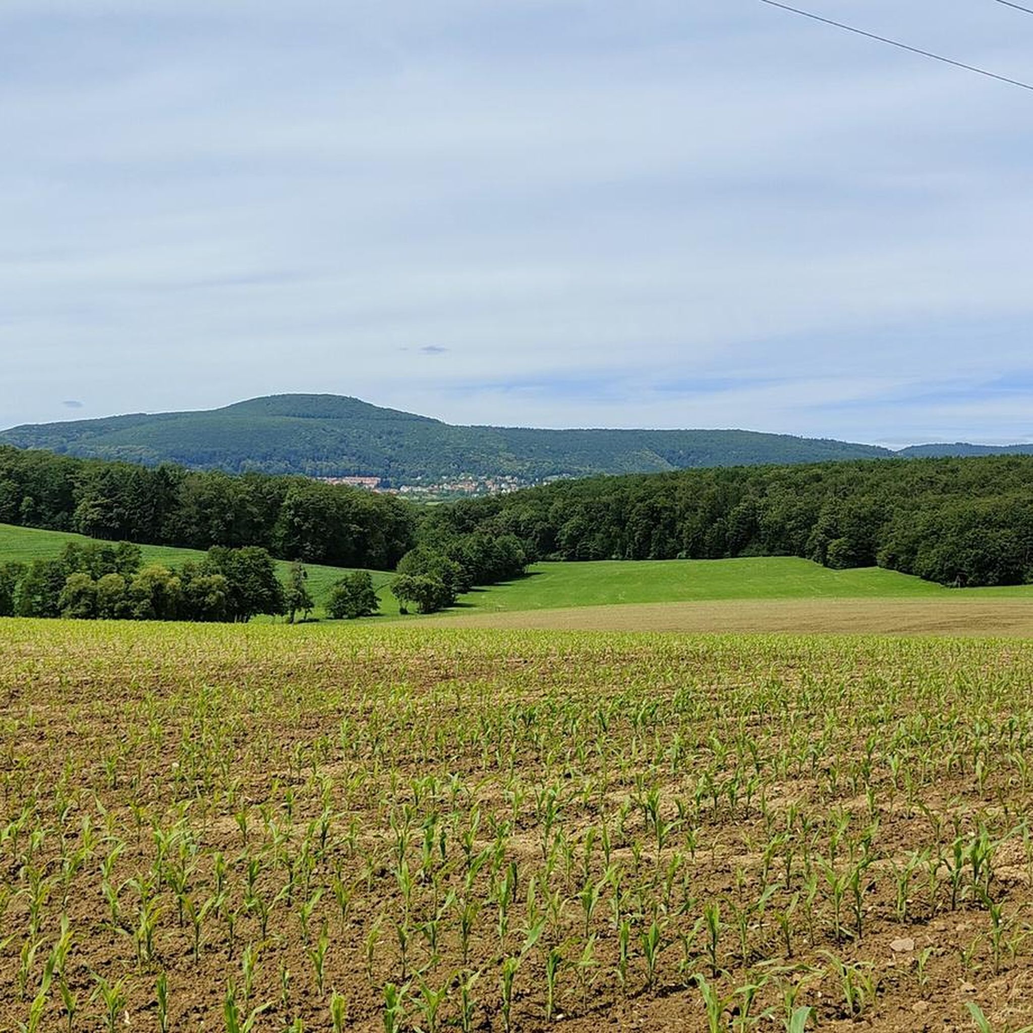
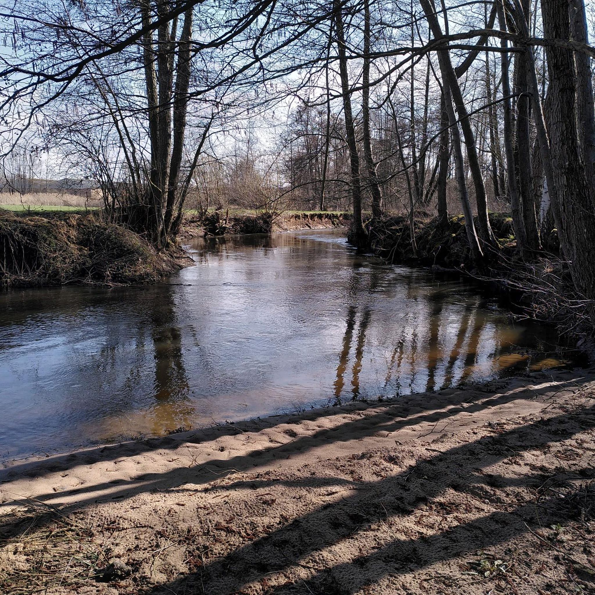
Hiking around Merzweiler offers diverse landscapes within the Kusel district, situated in the Jeckenbach valley. The region features surrounding elevations such as the Brecherberg (362m) and Rüllberg (350m), alongside the Jeckenbach, a tributary of the Glan River. This area is characterized by gentle hills, dense forests, and river valleys, providing varied terrain for outdoor activities. The broader Nahe River region also influences the landscape, known for its impressive rock formations and winding paths.
Best hiking trails around Merzweiler
- The most…
Last updated: July 5, 2026
5.0
(4)
40
hikers
8.05km
02:06
60m
60m
Moderate hike. Good fitness required. Easily-accessible paths. Suitable for all skill levels.
17
hikers
5.81km
01:28
10m
10m
Easy hike. Great for any fitness level. Easily-accessible paths. Suitable for all skill levels.

Sign up for free
3.3
(3)
11
hikers
7.92km
02:03
40m
40m
Moderate hike. Good fitness required. Easily-accessible paths. Suitable for all skill levels.
7
hikers
7.16km
01:53
60m
60m
Easy hike. Great for any fitness level. Easily-accessible paths. Suitable for all skill levels.
3.0
(2)
11
hikers
10.8km
02:47
50m
50m
Moderate hike. Good fitness required. Easily-accessible paths. Suitable for all skill levels.
Get access to more routes and recommendations from other explorers.
Sign up for free
Already have an account?
Our route recommendations are based on thousands of hikes, rides, and runs completed by other people on komoot.
Start today with a free account
Your next adventure awaits.
Login or Signup

Tips from the Community

A fitness trail for the whole family. Along the trail, the city displays photos on various themes. In August 2025, it's all about wild animals.
0
0

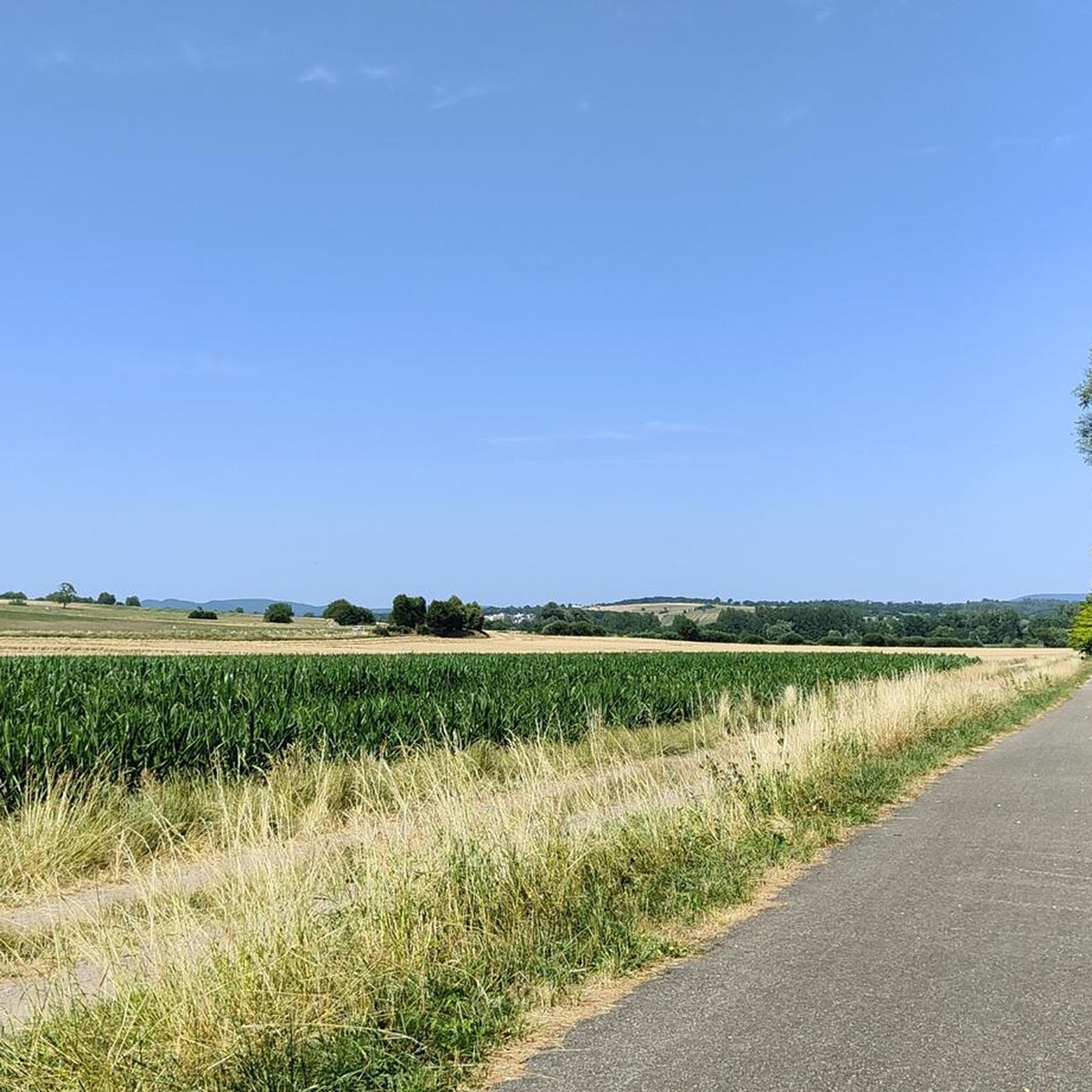
long pedestrian and cycle path along the fields
5
0
very beautiful forest for walking
5
0
small tunnel to pass under the departmental road in complete safety
5
0

Former train station near Neubourg
0
0

an earlier level crossing when the line was still in use. Today more of a city park *lol*
1
0

nice to see how nature reclaims its "soil".
2
0
Easily recognizable from the main path, only a small detour is necessary.
2
0
Frequently Asked Questions
How many hiking trails are available around Merzweiler?
There are over 220 hiking routes around Merzweiler, catering to various skill levels. This includes more than 100 easy trails, over 100 moderate options, and a few more challenging routes for experienced hikers.
What kind of terrain can I expect on hikes near Merzweiler?
Hiking around Merzweiler offers a diverse landscape. You'll find trails winding through the scenic Jeckenbach valley, with gentle gradients and elevations reaching over 300 meters. The region is characterized by rolling hills, dense forests, and river valleys, particularly near the Glan and Nahe rivers. Some areas also feature impressive rock formations and varied paths.
Are there any family-friendly hiking options in Merzweiler?
Yes, Merzweiler offers several family-friendly hiking routes. For example, the Hiking loop from Uberach is an easy 5.8 km path that navigates through the scenic Jeckenbach valley with gentle gradients, making it suitable for families. The broader region also has routes around Lichtenberg Castle that are designed for families, often including museums and castle grounds to explore.
What are some notable landmarks or natural features to see while hiking?
Hikers can discover several interesting landmarks and natural features. The region is close to the Glan River, known for its picturesque landscapes and historical sights like old mills. You can also find natural monuments such as The Fairy Garden, or historical sites like Wasenbourg Castle. The broader area is also influenced by the Nahe River, which features impressive rock formations and tranquil river valleys.
Are there any circular hiking routes available?
Yes, many of the hiking trails around Merzweiler are circular, offering convenient starting and ending points. An example is the Maginot Line mine cart loop from Uberach, a moderate 8.1 km trail that provides historical insights.
What do other hikers enjoy most about the trails in Merzweiler?
The hiking routes in Merzweiler are highly rated by the komoot community, with an average score of 4.5 stars from over 990 reviews. Hikers often praise the varied terrain, the quiet woodlands, and the well-marked paths that offer options for different ability levels, from easy strolls to more challenging routes.
When is the best time of year to go hiking in Merzweiler?
Merzweiler offers appealing hiking opportunities throughout much of the year. Spring and autumn are particularly pleasant due to mild temperatures and vibrant natural colors. Summer provides longer daylight hours, while winter can offer unique, tranquil experiences, though some trails might be more challenging depending on snow and ice conditions.
Are there any specific viewpoints or scenic spots along the trails?
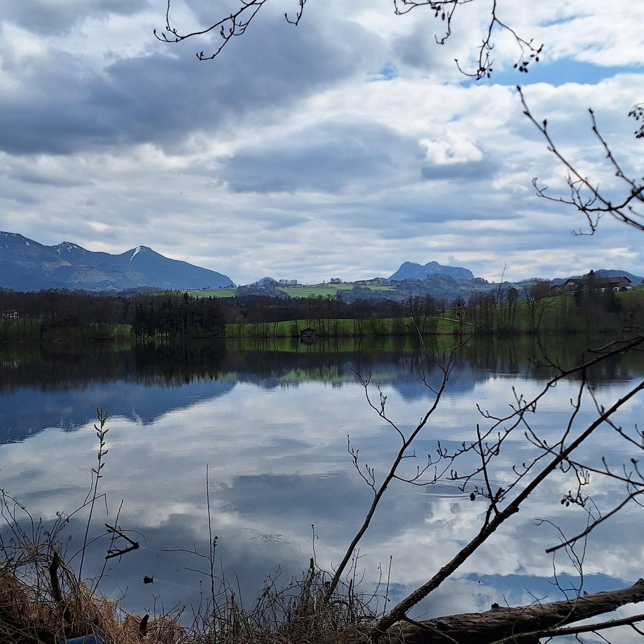
Yes, the region offers several scenic viewpoints. The surrounding elevations like Brecherberg (362m) and Rüllberg (350m) provide expansive views over the Jeckenbach valley. Lichtenberg Castle, a prominent landmark, also offers impressive views over the Palatinate mountains from its keep. You can also find a Lake Observatory listed as a viewpoint in the area.
Can I find trails that lead through dense forests?
Absolutely. Merzweiler is situated in a region known for its dense woodlands. The Pedestrian Tunnel – Reichshoffen Forest loop from Gundershoffen is a 7.2 km trail that specifically leads through dense forest, offering a shaded and immersive nature experience.
Are there any historical sites or ruins accessible by hiking trails?
Yes, the area is rich in history. Lichtenberg Castle, one of Germany's largest castle ruins, is a significant attraction with various trails leading to or around it. You can also explore other historical sites like Wasenbourg Castle and the Mercury Rock Temple, which are accessible via hiking routes.
Are there any easy routes suitable for beginners?
Yes, Merzweiler has over 100 easy routes perfect for beginners or those looking for a relaxed walk. An example is the Hiking loop from Mertzwiller, an easy 6.2 km trail that offers a pleasant experience without significant elevation changes.
What is the typical duration for hikes in this region?
Hikes around Merzweiler vary in duration depending on the route and your pace. Easy trails like the Hiking loop from Uberach can be completed in under 2 hours, while moderate routes such as the Bike path – Uttenhoffen Church loop from Uttenhoffen might take around 2.5 to 3 hours. There are options for shorter strolls and longer excursions.
Most popular routes around Merzweiler
Most popular attractions around Merzweiler

Get inspired with the komoot mobile app


Explore more
Browse the best Hikes in other regions.
