The best walks and hikes around Bailleul-Sir-Berthoult
4.5
(1010)
7,880
hikers
368
hikes
Hiking around Bailleul-Sir-Berthoult offers routes through a landscape characterized by flat terrain, agricultural fields, and historical sites. The area features greenways and paths alongside canals, providing accessible outdoor experiences. These trails often pass by significant memorials and offer views of the local countryside. The region's topography is generally gentle, making it suitable for various hiking abilities.
Best hiking trails around Bailleul-Sir-Berthoult
- The most popular hiking route is Moroccan monument – Canadian Memorial loop from Vimy, a 5.0 miles (8.1…
Last updated: October 12, 2026
4.5
(8)
101
hikers
Easy hike. Great for any fitness level. Easily-accessible paths. Suitable for all skill levels.
4.9
(44)
64
hikers
11.4km
03:02
110m
110m
Moderate hike. Good fitness required. Easily-accessible paths. Suitable for all skill levels.

4.8
(5)
73
hikers
Easy hike. Great for any fitness level. Easily-accessible paths. Suitable for all skill levels.
4.0
(1)
23
hikers
19.4km
04:58
70m
70m
Moderate hike. Good fitness required. Easily-accessible paths. Suitable for all skill levels.
4.3
(4)
33
hikers
8.27km
02:07
30m
30m
Moderate hike. Good fitness required. Easily-accessible paths. Suitable for all skill levels.
Get access to more routes and recommendations from other explorers.
Already have an account?
Our route recommendations are based on thousands of hikes, rides, and runs completed by other people on komoot.
Start today with a free account
Your next adventure awaits.
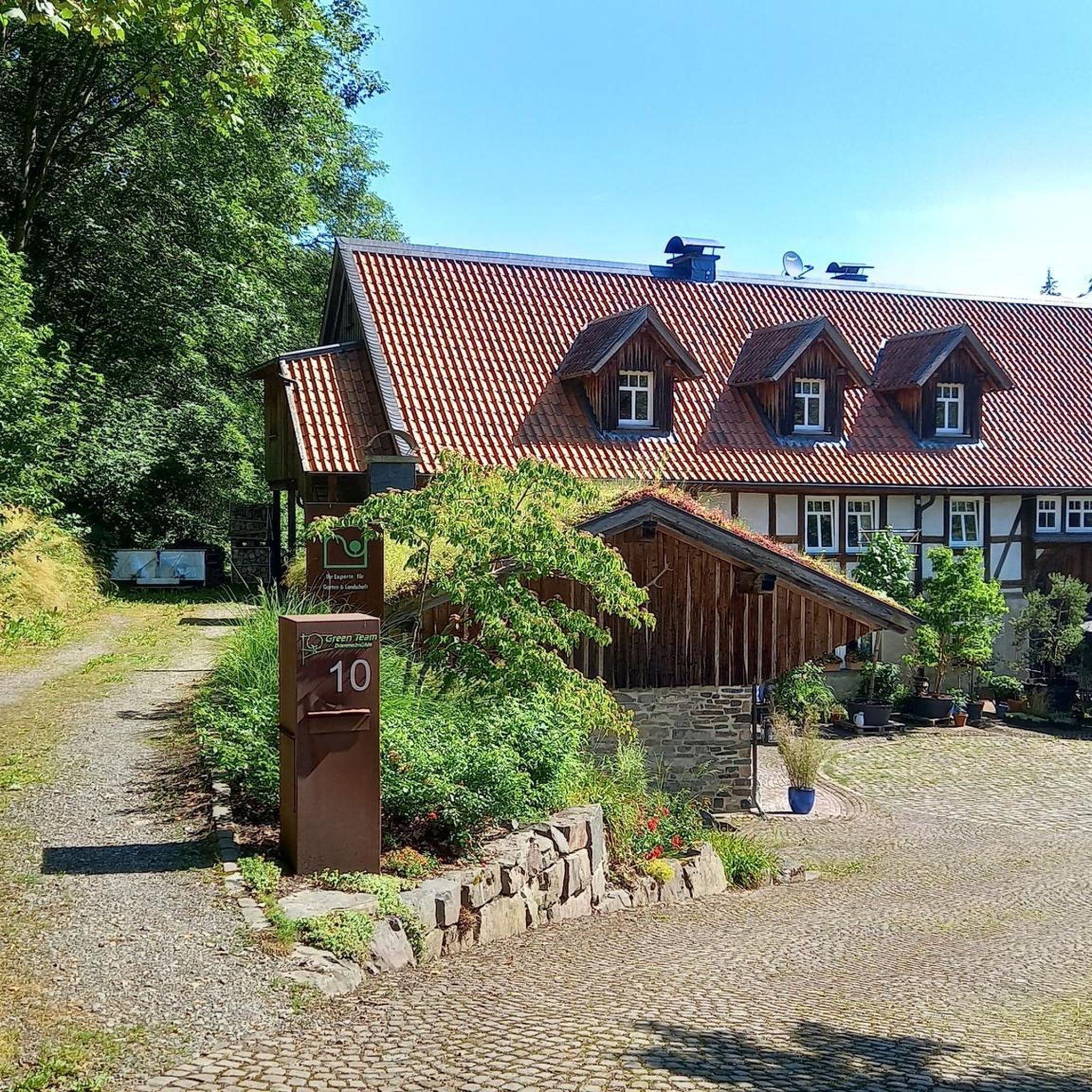
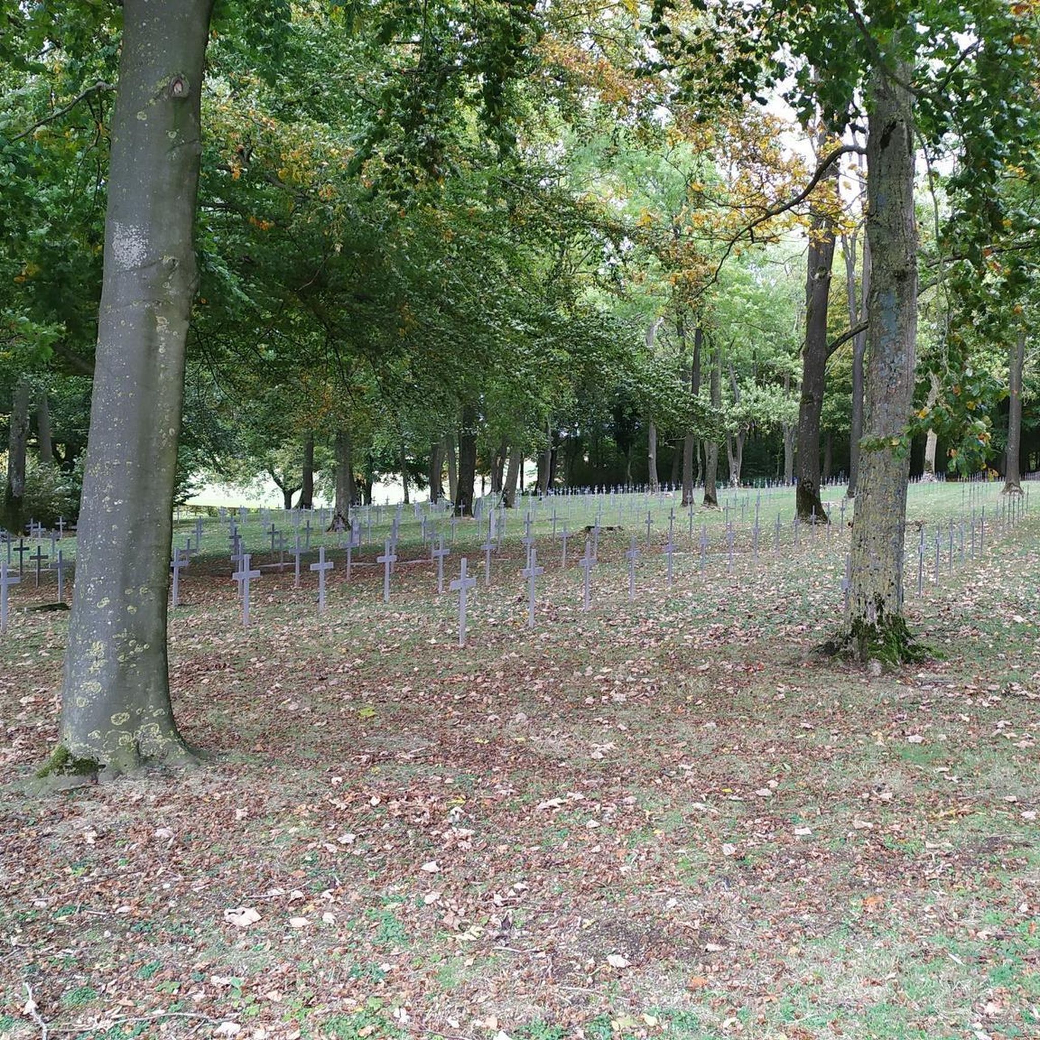

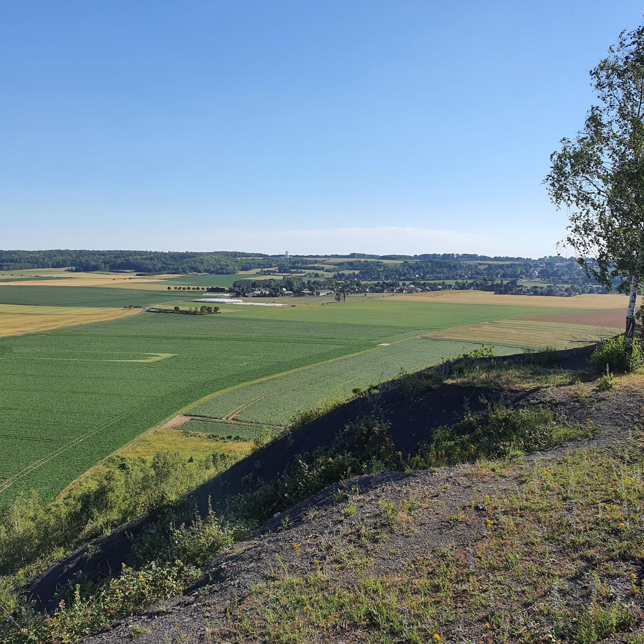
Tips from the Community

One of the two splendid memorials of Arras.
0
0
A memorial that should not be missed
0
0
Quiet path with uneven surface. Abandoned locks.
0
0

A very beautiful little park near Arras
1
0

Beautiful cathedral which is under repair in October 2025
1
0

The Battle of Vimy Ridge (April 9-12, 1917) This is one of the most famous battles for Canadians during the First World War. Vimy Ridge was a strategic position fortified by the Germans since 1914. In April 1917, the four Canadian divisions, united for the first time, attacked to retake it. - 💥 The bombardments that created the shell holes Before the assault For several weeks, Allied artillery (mainly British and Canadian) bombarded the German positions to weaken the defenses, cut the barbed wire, and destroy the enemy trenches. It is estimated that more than a million shells were fired in preparation for the attack. During the attack On April 9, 1917, the Canadian infantry advanced under a creeping barrage, that is, artillery fire that advanced just ahead of the soldiers to protect their advance. Result These intense bombardments literally riddled the ridge with craters. Each shell exploding in the ground dug a hole of varying width (depending on the caliber, often between 1 and 5 meters in diameter). 🏞 After the War Why are the shell holes still there? After 1918, it was decided to preserve certain areas as they were, particularly around the future memorial, to demonstrate the scale of the fighting. The land was therefore not leveled or cultivated, unlike other areas of the front, which reverted to agricultural fields. A Landscape for Remembrance The shell craters, reconstructed trenches, and replanted trees (each tree represents a killed Canadian soldier) create a living memorial park, keeping the scars of the conflict visible for future generations.
0
0
Frequently Asked Questions
How many hiking trails are available around Bailleul-Sir-Berthoult?
There are over 340 hiking trails in the Bailleul-Sir-Berthoult area, offering a wide range of options for different preferences and skill levels. You'll find everything from easy strolls to more challenging routes.
What is the general terrain like for hiking near Bailleul-Sir-Berthoult?
The terrain around Bailleul-Sir-Berthoult is generally flat, characterized by agricultural fields, greenways, and paths alongside canals. The topography is gentle, making most routes accessible and suitable for various hiking abilities. You'll often encounter historical sites and memorials along the way.
Are there easy or beginner-friendly hiking routes in Bailleul-Sir-Berthoult?
Yes, the region offers a significant number of easy routes, with over 170 trails classified as easy. These are perfect for beginners or those looking for a relaxed walk. An example of an easy route is the Rivage Quay – V362 Greenway Along the Canal loop from Arras, which is 4.8 miles (7.7 km) long.
Can I find longer, more challenging hikes in the area?
While the region is known for its gentle terrain, there are some longer routes available. For instance, the Chemin de Halage loop from Fampoux is a moderate 9.3 miles (15 km) trail that takes around 3 hours 50 minutes to complete. There are 21 routes classified as difficult for those seeking more of a challenge.
What historical landmarks or points of interest can I see while hiking?
The Bailleul-Sir-Berthoult area is rich in history. Many trails pass by significant sites such as the Canadian National Vimy Memorial, the ruined church of Ablain-Saint-Nazaire, and the Notre-Dame-de-Lorette National Cemetery. These offer poignant stops along your hike.
Are there any natural features or scenic viewpoints to discover?
Yes, beyond the historical sites, you can explore natural areas like the Marais de Maroeuil, which is a natural marshland. Many routes also follow greenways and canal towpaths, providing pleasant waterside scenery and views of the local countryside.
Are the hiking trails around Bailleul-Sir-Berthoult suitable for families with children?
Given the generally flat terrain and numerous easy routes, many trails in Bailleul-Sir-Berthoult are well-suited for families. The greenways and canal paths offer safe and enjoyable environments for children to explore. Consider routes that are shorter in distance and have minimal elevation gain.
Are dogs allowed on the hiking trails in Bailleul-Sir-Berthoult?
Generally, dogs are welcome on most public hiking trails in France, especially on greenways and canal paths, provided they are kept on a leash. However, it's always advisable to check specific local regulations or signage at trailheads, particularly in nature reserves or protected historical sites.
What do other hikers enjoy most about the trails in Bailleul-Sir-Berthoult?
The hiking trails in Bailleul-Sir-Berthoult are highly rated by the komoot community, with an average score of 4.5 stars from over 700 reviews. Hikers often praise the accessible nature of the routes, the blend of natural scenery with historical landmarks, and the well-maintained greenways and canal paths.
Is parking available at the trailheads?
Parking is generally available in or near the towns and villages that serve as starting points for many routes, such as Vimy, Saint-Laurent-Blangy, or Arras. Look for designated parking areas near historical sites or public spaces, as specific trailheads might not always have dedicated lots.
What is the best time of year to go hiking in Bailleul-Sir-Berthoult?
Spring (April-June) and early autumn (September-October) are often considered the best times for hiking in Bailleul-Sir-Berthoult. During these seasons, the weather is typically mild and pleasant, and the natural scenery is vibrant. Summer can also be enjoyable, but be prepared for warmer temperatures.
Are there any circular hiking routes around Bailleul-Sir-Berthoult?
Yes, many of the popular routes in the area are circular, offering convenient starting and ending points. For example, the Moroccan monument – Canadian Memorial loop from Vimy is a well-known circular trail that allows you to return to your starting point without retracing your steps.
Most popular routes around Bailleul-Sir-Berthoult
Most popular attractions around Bailleul-Sir-Berthoult

Get inspired with the komoot mobile app


Explore more
Browse the best Hikes in other regions.
