The best running trails around Saint-Nizier-D'Azergues
4.4
(80)
4,379
runners
161
runs
Jogging routes around Saint-Nizier-D'Azergues traverse a diverse landscape within France's Auvergne-Rhône-Alpes region. The area is characterized by varied topography, with elevations ranging from approximately 393 to 903 meters, offering both gentle and challenging running conditions. The Azergues valley provides paths along the river, while the proximity to the Beaujolais region offers rolling hills and extensive footpaths. Forests and hills are common features, providing shaded routes and elevation changes for runners.
Best jogging routes around Saint-Nizier-D'Azergues
- The most popular jogging route…
Last updated: October 20, 2026
37
runners
32.8km
04:24
1,350m
1,360m
Hard run. Very good fitness required. Mostly paved surfaces. Suitable for all skill levels.
5.0
(1)
9
runners
18.6km
02:24
690m
690m
Hard run. Very good fitness required. Mostly paved surfaces. Suitable for all skill levels.

3.0
(1)
8
runners
10.6km
01:27
410m
400m
Hard run. Very good fitness required. Mostly paved surfaces. Suitable for all skill levels.
7
runners
12.1km
01:29
340m
340m
Hard run. Very good fitness required. Mostly paved surfaces. Suitable for all skill levels.
13
runners
15.7km
02:06
600m
590m
Hard run. Very good fitness required. Mostly paved surfaces. Suitable for all skill levels.
Get access to more routes and recommendations from other explorers.
Already have an account?
Our route recommendations are based on thousands of hikes, rides, and runs completed by other people on komoot.
Start today with a free account
Your next adventure awaits.
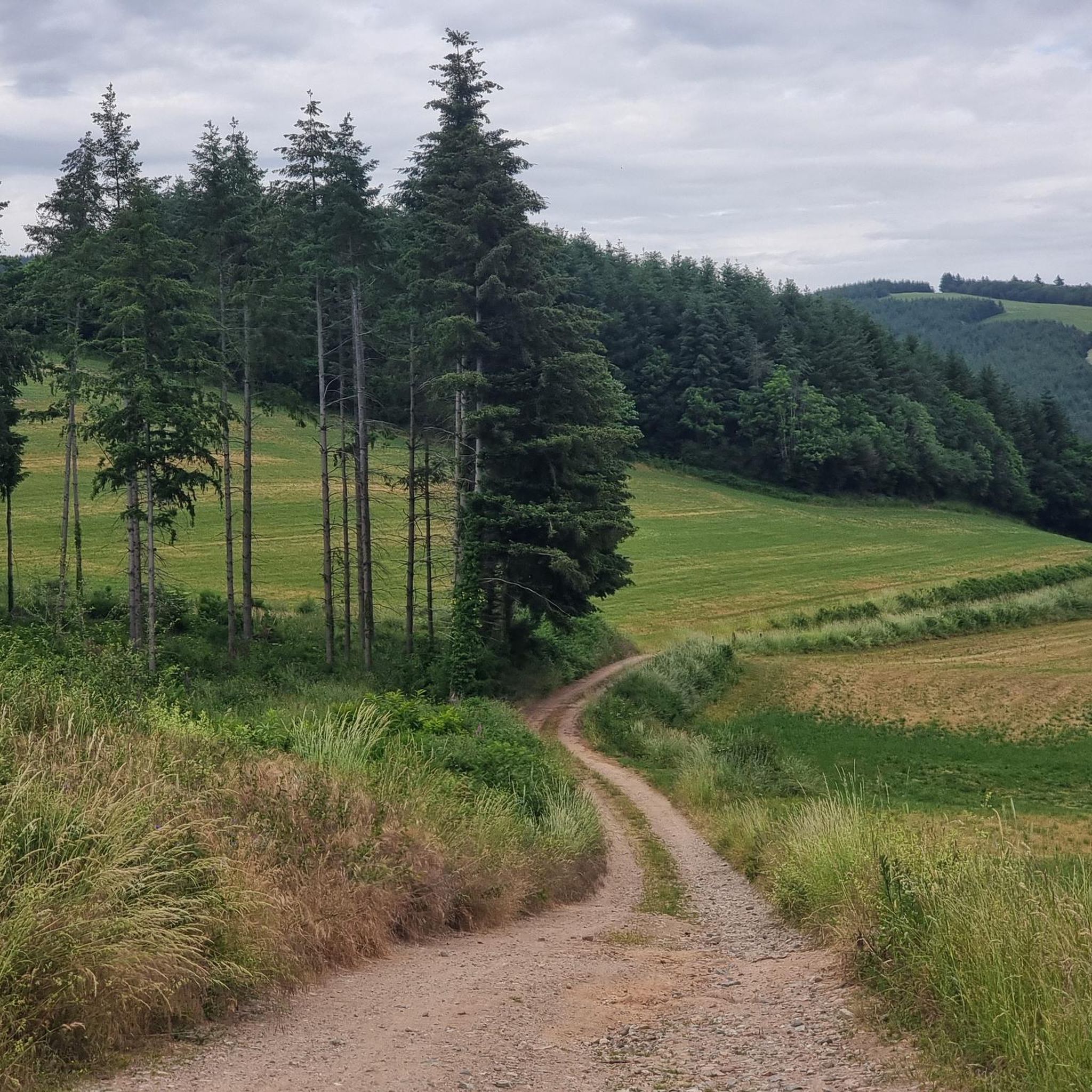
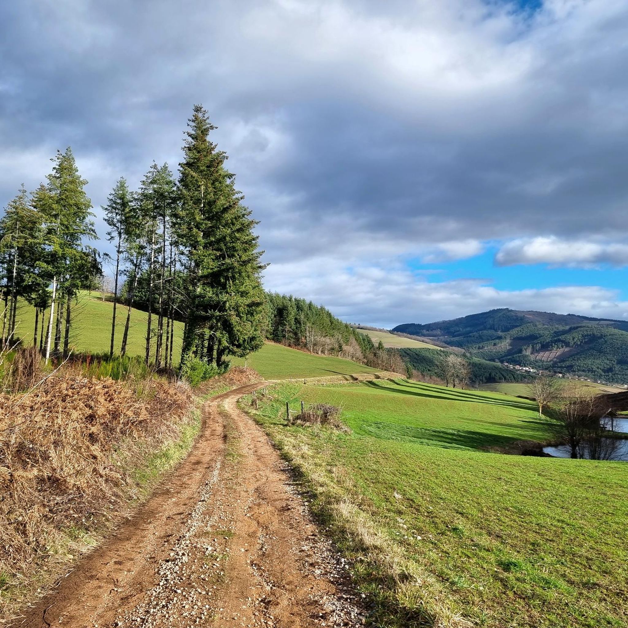
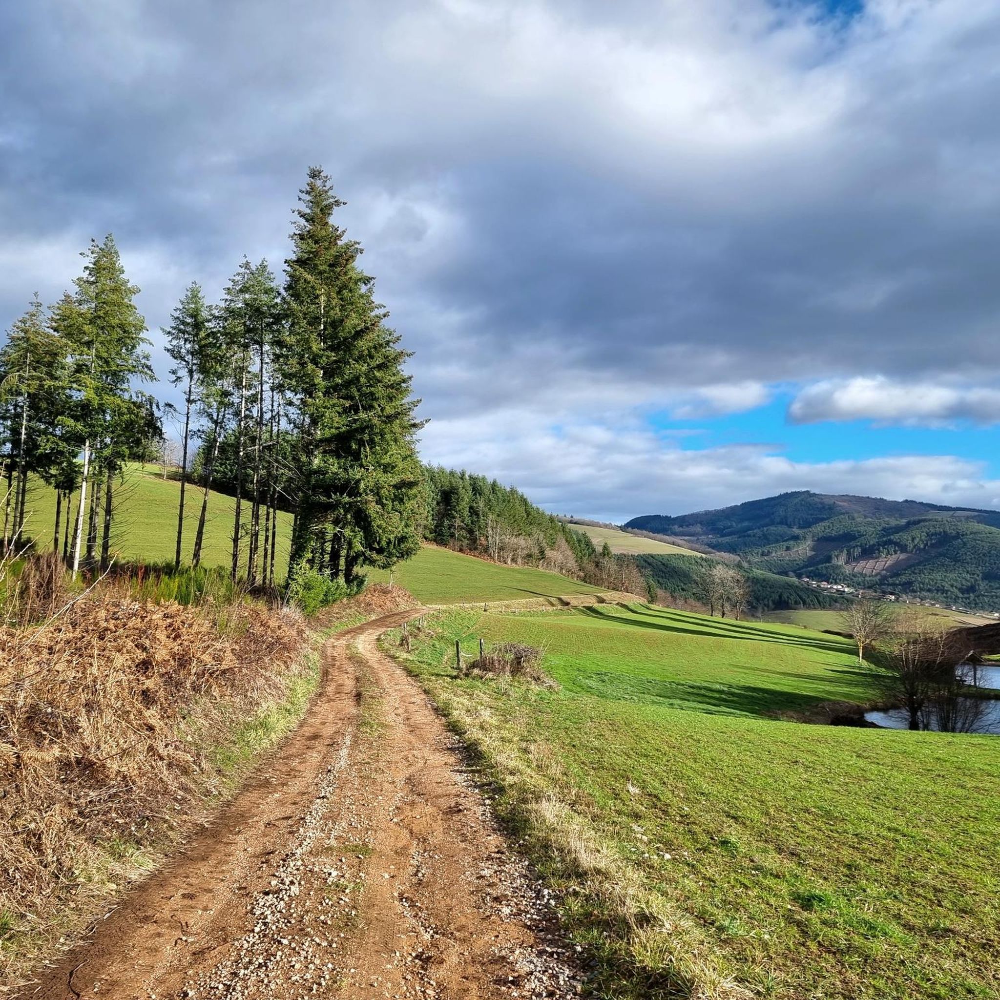
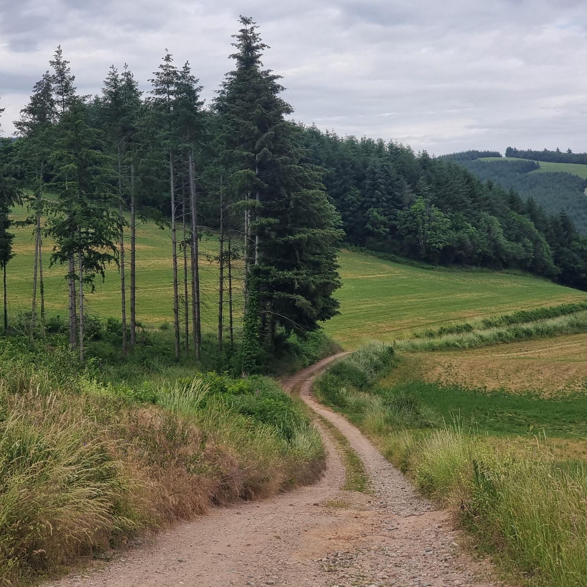

Tips from the Community

The Col de la Croix-Rosier is a road pass in the Massif Central, located in the Rhône department. Its altitude is 721 meters.
0
0

The Casse Froide pass offers beautiful panoramas of the Douglas de Claveisolles forests. Here the landscapes open up. While this part is most pleasant in summer, it can be quite windy on bad weather days.
0
0

Small village in the heart of the Beaujolais mountains
0
0
Very pleasant descent towards the Claveisolles valley.
1
0
Beautiful view of the Beaujolais mountains but also of the Jura chain, Mont-Blanc and the Alps
0
0

Beautiful medieval castle built in the 14th century
0
0
Very nice point of view!
0
0
Mont soubran 894m altitude very nice view
0
0
Frequently Asked Questions
How many running routes are available in Saint-Nizier-D'Azergues?
There are over 140 running routes around Saint-Nizier-D'Azergues, offering a wide variety of options for all fitness levels. The komoot community has contributed to these routes, providing detailed information and reviews.
What kind of terrain can I expect on the running trails around Saint-Nizier-D'Azergues?
The region offers diverse terrain, from elevations ranging between 393 to 903 meters. You'll find paths along the Azergues river valley, rolling hills typical of the Beaujolais countryside, and extensive forest paths. This variety ensures both gentle runs and more challenging ascents.
Are there easy running routes suitable for beginners in Saint-Nizier-D'Azergues?
Yes, Saint-Nizier-D'Azergues offers several easier paths suitable for beginners or those looking for a more relaxed run. The local municipality has marked pedestrian circuits, including a 5 km blue route starting from the village center. Additionally, the Balad'Azergues is a 7.5 km loop along the river that is ideal for a gentle jog.
What options are there for experienced runners seeking a challenge?
Experienced runners will find plenty of challenging routes with significant elevation changes. Options include routes incorporating cols like the Col de la Croix Rosier (721m altitude) and the Col de la Croix Montmain. For example, the The Pyramid – Source des Trois Notaires loop from Lamure-sur-Azergues is a difficult 16.3 km route with considerable ascent.
What is the typical length of running routes in the area?
Running routes in Saint-Nizier-D'Azergues vary greatly in length. You can find shorter circuits, such as the 5 km marked routes from the village center, up to longer, more demanding trails like the Col de la Croix Rosier (721 m) – Col de la Croix Rozier loop from Claveisolles, which spans over 32 km.
Are the running trails around Saint-Nizier-D'Azergues dog-friendly?
Many of the natural trails and forest paths in the region are suitable for running with dogs, provided they are kept under control. It's always a good idea to check local regulations or signage for specific routes, especially in protected areas or near livestock.
When is the best time of year to go running in Saint-Nizier-D'Azergues?
The varied terrain of Saint-Nizier-D'Azergues makes it suitable for running throughout much of the year. During warmer months, the presence of forests provides welcome shade. The rolling hills and scenic views are enjoyable in spring and autumn, while winter offers a different, often quieter, running experience, though some higher elevation paths might require caution.
What scenic viewpoints or natural features can I expect to see while running?
The region is rich in natural beauty. You can expect panoramic views over the Monts du Lyonnais and Beaujolais, and even the Alps on clear days, from spots like the "Belvédère au hameau des Sauvages." The Azergues valley itself offers picturesque river views, and you might encounter unique features like the "circuit des viaducs," which combines natural beauty with historical architecture. The nearby Lac des Sapins also offers a refreshing 4.4 km loop.
Are there any interesting landmarks or attractions near the running routes?
Yes, beyond the natural landscapes, you can find several points of interest. The "circuit des viaducs" offers a unique historical element. For those interested in local culture, the Croix d'Ajoux is a notable religious building. You might also pass by mountain passes like Cambuse Pass or Col de Saint-Bonnet, which offer rewarding views.
What do other runners enjoy the most about jogging in Saint-Nizier-D'Azergues?
The running routes in Saint-Nizier-D'Azergues are highly rated by the komoot community, with an average score of 4.3 stars from over 80 reviews. Runners often praise the diverse topography, the extensive network of well-marked trails, and the beautiful natural scenery that provides a constantly changing backdrop for their runs.
Are there circular running routes available?
Yes, many of the running routes in Saint-Nizier-D'Azergues are designed as circular loops, allowing you to start and finish at the same point. Examples include the Mount Soubran - 895 m – Claveisolles loop from Claveisolles and the Claveisolles loop from Claveisolles, making planning your run convenient.
Can I find shaded running paths for warmer days?
Absolutely. The region features numerous forests and wooded areas, particularly in the Beaujolais countryside. These provide excellent shaded routes, which are especially appealing and comfortable for running during warmer months or on sunny days.
Most popular routes around Saint-Nizier-D'Azergues
Most popular attractions around Saint-Nizier-D'Azergues

Get inspired with the komoot mobile app


Explore more
Browse the best Running Trails & Routes in other regions.
