The best road cycling routes around Béthonsart
4.4
(33)
1,353
riders
172
rides
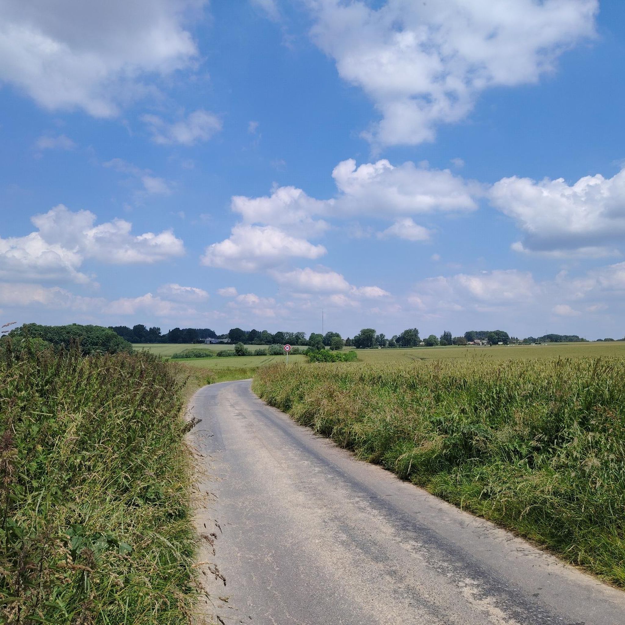
Road cycling around Béthonsart offers diverse landscapes within the Hauts-de-France region, characterized by inland areas with woods, pastures, and valleys. The terrain includes rolling countryside and unique natural features such as former slag heaps, providing varied elevation changes for cyclists. While Béthonsart itself is a commune, its proximity to regional natural parks and historical sites means routes often incorporate a mix of open roads and scenic views. The area provides a network of paved surfaces suitable for road cycling.
Best…
Last updated: October 13, 2026
22
riders
50.0km
02:13
380m
380m
Moderate road ride. Good fitness required. Mostly well-paved surfaces and easy to ride.
5.0
(1)
18
riders
68.0km
02:55
450m
450m
Moderate road ride. Good fitness required. Mostly well-paved surfaces and easy to ride.

4.0
(1)
13
riders
Easy road ride. Great for any fitness level. Mostly well-paved surfaces and easy to ride.
4.0
(1)
12
riders
Moderate road ride. Good fitness required. Mostly well-paved surfaces and easy to ride.
11
riders
85.4km
03:44
600m
600m
Moderate road ride. Good fitness required. Mostly well-paved surfaces and easy to ride.
Get access to more routes and recommendations from other explorers.
Already have an account?
Our route recommendations are based on thousands of hikes, rides, and runs completed by other people on komoot.
Start today with a free account
Your next adventure awaits.



Tips from the Community

A memorial that should not be missed
0
0
Magnificent memorial. The site as a whole is pleasant and rather touristy.
0
0

Mont César rises to a height of 138 meters on the left bank of the Thérain River, near the hamlet of Froidmont, in the municipality of Bailleul-sur-Thérain, in the Oise department. The hill, which overlooks the valley and surrounding marshes, has been inhabited since the Bronze Age and was likely a Gallo-Roman oppidum on an ancient, fortified Gallic camp. Archaeological excavations carried out since the 18th century have unearthed numerous objects and remains of fortifications. During excavations conducted in 1878 by Isidore Berton, Gallic coins and various objects from the Roman period were discovered. Want to know more? Click through to the source: https://fr.wikipedia.org/wiki/Mont_C%C3%A9sar
0
0

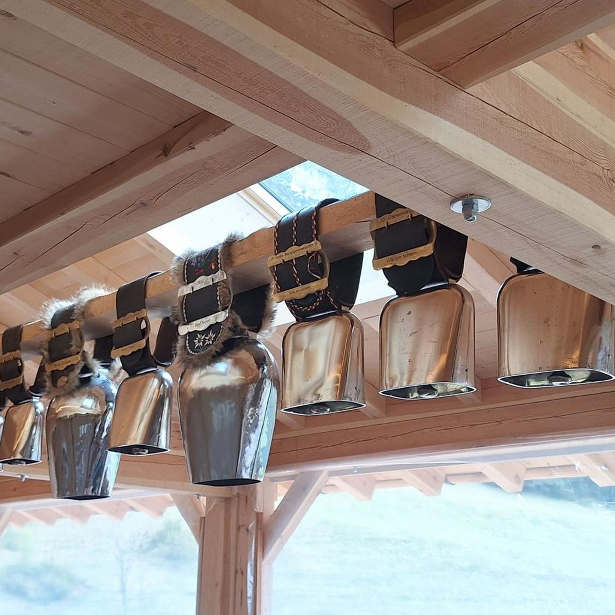
The current church was built in 1803 on the site of the old church. It was restored in 1842. The bell, cast in Douai in 1862, bears the name of its godmother: Aimée Charlotte Henriette de Richoufftz. Its baptismal name, like many bells in our villages, was given after a blessing. It was installed in the steeple, built of cut stone, in 1874, thanks to the generosity of the Richoufftz family. The sound of the bell punctuated rural life and informed the inhabitants of certain events, announcing the dangers, joys, or sorrows of daily life. The church's stained-glass windows feature the Richoufftz family crest: three gold stag heads on a blue background. Manin Castle, built in 1745, is located behind the church.
0
0

The Vimy Memorial is the most prestigious Canadian monument in Europe. It is located on the very site of the 1917 fighting near Vimy in the Pas-de-Calais region of France. Erected on the highest point of the hill, Hill 145, the objective of the operations that began on April 9, 1917, it overlooks the Douai Plain. In 1921, architect and sculptor Walter S. Allward (1875-1955) won the competition from the Canadian Battlefield Memorials Commission. The significance of the battles at the site and the favorable location at the top of the hill allowed Vimy to receive the most prestigious work.
1
0

The Canadian National Vimy Memorial (Vimy, Pas-de-Calais department) is a memorial dedicated to those who were missing or killed in World War I in the Canadian Expeditionary Force. The monument is located on the site of a well-preserved or partially reconstructed battlefield, including trenches and tunnels. Guided tours are offered in French and English, there are several memorials, a permanent and a temporary exhibition, a museum shop and a marked hiking trail that conveys the history of the site.
0
0

I went there late one evening, a calm that does you good, a great panorama night and day
0
0
Frequently Asked Questions
How many road cycling routes are available around Béthonsart?
There are over 150 road cycling routes available around Béthonsart, catering to various skill levels. This includes approximately 40 easy routes, over 100 moderate routes, and a few challenging options for experienced cyclists.
What kind of terrain can I expect on road cycling routes near Béthonsart?
The terrain around Béthonsart is characterized by rolling countryside, pastures, and valleys, typical of the Hauts-de-France region. You'll find a network of paved surfaces suitable for road cycling, with varied elevation changes. Some routes may incorporate unique natural features like former slag heaps, offering panoramic views.
Are there any family-friendly road cycling routes in the Béthonsart area?
Yes, the Béthonsart area offers several easy road cycling routes that are suitable for families. These routes typically feature gentler gradients and less traffic, allowing for a more relaxed cycling experience. While specific family-friendly routes are not detailed here, you can filter for 'easy' routes on Komoot to find suitable options.
What are some interesting landmarks or points of interest I can see while cycling near Béthonsart?
Road cycling routes around Béthonsart often pass by historical landmarks and natural features. You might encounter sites such as The Caucourt Ford and Watermill, the impressive Abbey of Mont-Saint-Éloi, or the historic Olhain Castle. For scenic views, consider routes that pass by The belvedere at Olhain Park.
What do other road cyclists say about the routes in Béthonsart?
The road cycling routes around Béthonsart are highly rated by the Komoot community, with an average score of 4.3 stars from over 30 reviews. Cyclists often praise the varied terrain, the mix of open roads and scenic views, and the opportunity to explore historical landscapes.
Are there any circular road cycling routes starting near Béthonsart?
Yes, many of the road cycling routes in the Béthonsart area are designed as circular loops, allowing you to start and finish at the same point. Examples include the moderate Back to high school – St Pol sur Ternoise loop from Savy-Berlette or the Abbey of Mont-Saint-Éloi – Ruins of Mont-Saint-Eloi Abbey loop from Savy-Berlette, which offers views of historical landmarks.
What is the best time of year for road cycling in Béthonsart?
The Hauts-de-France region generally offers pleasant cycling conditions from spring through early autumn. These seasons provide milder temperatures and less precipitation, making for more enjoyable rides through the rolling countryside and past historical sites. Always check local weather forecasts before heading out.
Can I find long-distance road cycling routes around Béthonsart?
While Béthonsart itself is a smaller commune, its proximity to the broader Hauts-de-France region means you can connect to longer routes. The area offers routes up to 60 km, such as the Mont César – Cimetiere militaire d’Ecoivres loop from Savy-Berlette, and these can often be combined or extended to create longer journeys through diverse landscapes.
Is there parking available for cyclists near the routes in Béthonsart?
While specific parking facilities for cyclists in Béthonsart are not detailed, many routes start from nearby towns or villages like Savy-Berlette, where public parking is generally available. It's advisable to check the starting point of your chosen route for specific parking information.
Are there any regional natural parks accessible for cycling from Béthonsart?
Béthonsart is located within the Hauts-de-France region, which is home to several regional natural parks, including Scarpe-Escaut, Avesnois, and Caps et Marais d'Opale. These parks offer diverse ecosystems and are known for their opportunities for cycling and exploring nature. While not directly adjacent, they are accessible for day trips and offer extensive cycling networks. You can find more information about these parks on the Hauts-de-France Tourism website.
What are some challenging road cycling routes near Béthonsart for advanced riders?
For advanced riders seeking more challenging terrain, the Béthonsart area offers routes with significant elevation gain and longer distances. While the majority are moderate, there are a few difficult routes available. These often incorporate the rolling hills and varied landscapes of the Pas-de-Calais region, providing a good workout. You can filter routes by 'difficult' on Komoot to find these options.
Can I find cafes or restaurants along the road cycling routes in Béthonsart?
While Béthonsart is a smaller commune, many road cycling routes pass through or near villages and towns in the surrounding area. These locations often offer opportunities for cafe stops, restaurants, or small shops where you can refuel and rest. Planning your route with potential stops in mind is recommended.
Most popular routes around Béthonsart
Most popular attractions around Béthonsart

Get inspired with the komoot mobile app


Explore more
Browse the best Road cycling routes in other regions.
