The best road cycling routes around Curtil-Sous-Burnand
4.6
(59)
1,021
riders
150
rides
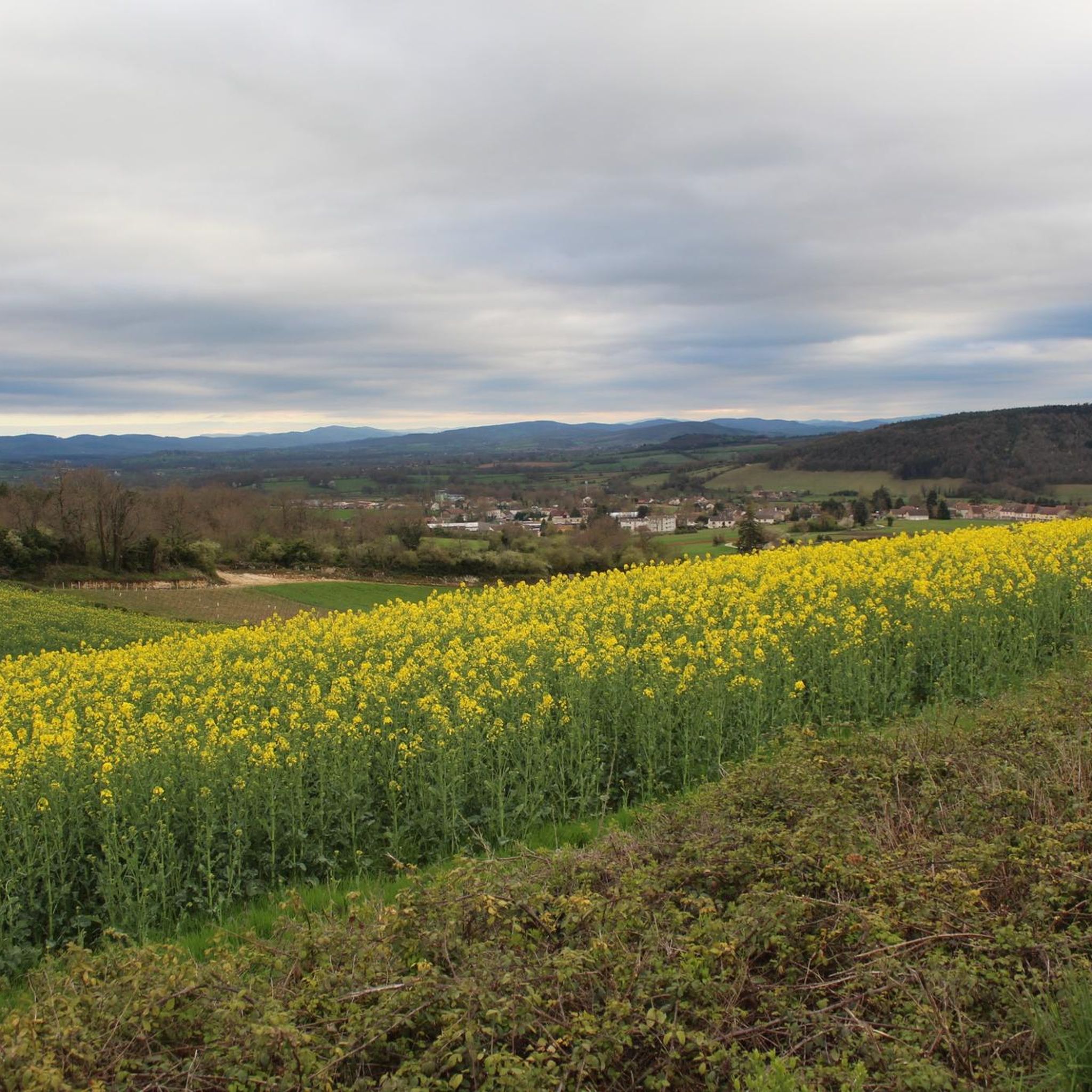
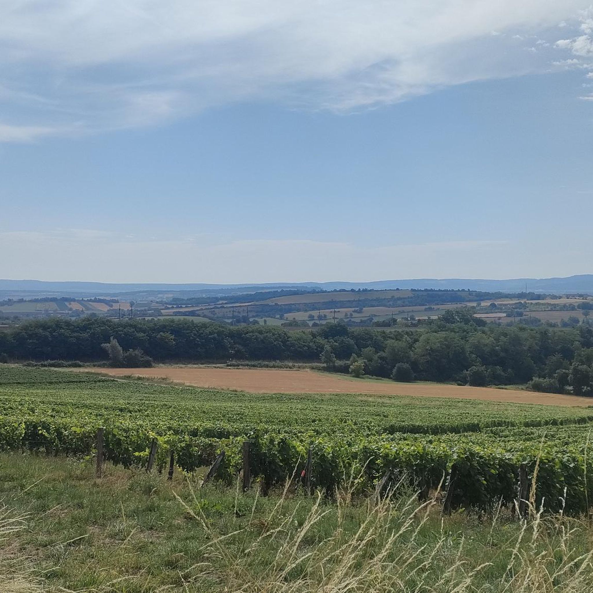
Road cycling routes around Curtil-Sous-Burnand are set within the Saône-et-Loire department of Bourgogne-Franche-Comté, characterized by diverse landscapes. The terrain features rolling hills, with elevations ranging from 209 to 402 meters, providing varied challenges for cyclists. Routes often wind through agricultural zones, forests, and vineyards, offering scenic views of the French countryside. This region provides access to extensive cycling networks, including established greenways and low-traffic roads.
Best road cycling routes around Curtil-Sous-Burnand
- The most popular road cycling route is Three castles…
Last updated: July 10, 2026
4.0
(1)
8
riders
27.3km
01:16
220m
220m
Easy road ride. Great for any fitness level. Mostly well-paved surfaces and easy to ride.
5.0
(4)
36
riders
45.8km
02:08
480m
480m
Moderate road ride. Good fitness required. Some segments of this route may be unpaved and difficult to ride.

Sign up for free
4.3
(3)
28
riders
52.6km
02:29
520m
520m
Moderate road ride. Good fitness required. Some segments of this route may be unpaved and difficult to ride.
5.0
(1)
50
riders
Easy road ride. Great for any fitness level. Mostly well-paved surfaces and easy to ride.
10
riders
Moderate road ride. Good fitness required. Mostly well-paved surfaces and easy to ride.
Get access to more routes and recommendations from other explorers.
Sign up for free
Already have an account?
Our route recommendations are based on thousands of hikes, rides, and runs completed by other people on komoot.
Start today with a free account
Your next adventure awaits.
Login or Signup

Tips from the Community

This place and its atmosphere have been a magnet for millions of people for decades. I was there for the first time in 1974 and am always fascinated by the surrounding landscape. I was particularly taken with the small Romanesque churches in the villages of the region and places like Cluny and Brançion.
1
0

The Tour des Fromages is a preserved defensive tower from the 11th century, which originally belonged to the ramparts of the powerful Abbey of Cluny. In the Middle Ages, the structure was still called Tour des Fèves (Bean Tower), as supplies were stored there. It got its current, curious name in the 19th century because a merchant used the tower to dry her homemade cheeses. Today, the tower is a popular attraction. Visitors can climb the 120 steps to the top. From up there, you have a beautiful 360-degree panoramic view over the entire medieval monastic city and the surrounding Burgundy landscape. Access to the tower is directly through the local Cluny tourist office.
1
0
The abbey was founded in 910 by Duke William I of Aquitaine. In the Middle Ages, Cluny was the starting point of a huge monastic reform (the "Cluniac Reforms"). At its peak in the 11th and 12th centuries, around 1,500 monasteries and over 20,000 monks throughout Europe were under its jurisdiction. The main church of the abbey (Cluny III or Major Ecclesia), over 187 meters long, was the largest house of worship in Christendom until St. Peter's Basilica in Rome was built. During the French Revolution, the monastery was closed. Under Napoleon's rule, the gigantic church was almost completely demolished and used as a quarry. Today, only about 8% of the original vast complex remains.
2
0
The tour leads through a picturesque, typically Burgundian landscape of rolling fields, dense forests, and vineyards. It connects the small, historic communities of Bray, Cortambert, and Blanot. In the listed historic village of Blanot, you will find, among other things, the famous Grottes de Blanot (a cave that reaches over 80 meters deep into the earth) as well as a historic Romanesque church. www.burgund-touri... +1
1
0
Peaceful village with a lake and campsite, a detour that is worth it.
0
0
The station no longer serves trains. The historic site has been transformed into a vibrant leisure zone (Aire de loisirs de la gare). The building is located directly on the Voie Verte de Bourgogne du Sud, a well-known 77 km cycle path on a former railway line. Travelers will find a bicycle rental service for regular and electric bikes, a tool station for repairs, picnic tables, public restrooms, and a children's playground. It also serves as a starting point for excursions, for example to the nearby Château de Cormatin.
0
0
Mont Grémoi is located in the Auvergne-Rhône-Alpes region. It is a hilly, rural area that is ideal for hiking.
0
0
The recreational facility is located directly on the popular Voie Verte de Bourgogne du Sud, a scenic cycling route on a former railway line. The area offers numerous amenities for cyclists, hikers, and families: There are several shaded picnic tables and benches in a green setting. Directly at the old train station, there is a bicycle rental for classic bicycles and e-bikes, as well as a small repair station. A children's playground with 15 play structures, installed in April 2024, provides entertainment for younger visitors. Public toilets, a water point, and a large, free car park are available.
0
0
Frequently Asked Questions
How many road cycling routes are available around Curtil-Sous-Burnand?
There are over 150 road cycling routes available around Curtil-Sous-Burnand, offering a wide range of options for different skill levels and preferences. The komoot community has explored these routes over 900 times.
What kind of terrain can I expect when road cycling in Curtil-Sous-Burnand?
The terrain around Curtil-Sous-Burnand is characterized by rolling hills, with elevations ranging from 209 to 402 meters. You'll find routes winding through picturesque agricultural zones, tranquil forests, and expansive vineyards, offering both gentle rides and more challenging ascents.
Are there routes suitable for beginners or families?
Yes, Curtil-Sous-Burnand offers a good selection of easier routes. There are 26 routes classified as easy, providing a more relaxed cycling experience. These often follow flatter sections or established greenways, making them suitable for families or those new to road cycling.
What historical landmarks or attractions can I see along the routes?
Many routes pass by significant historical sites. For example, the Three castles — loop from Saint-Gengoux-le-National route features historical landmarks. You can also find routes that offer views of Cormatin Castle, Sercy Castle, and the Château de la Serrée. The region is also home to charming churches like Sainte-Marie-Madeleine Church and Chapaize Church.
Are there any challenging road cycling routes for experienced riders?
Absolutely. While there are many moderate routes, Curtil-Sous-Burnand also offers 20 routes classified as difficult, featuring more significant elevation gains and longer distances. These routes provide a good challenge for experienced road cyclists looking for demanding ascents and descents.
What is the best time of year for road cycling in Curtil-Sous-Burnand?
The region's climate makes spring through early autumn ideal for road cycling. During these months, the weather is generally pleasant, and the landscapes are vibrant, especially the vineyards. The changing seasons offer different scenic beauty, from spring blossoms to autumn colors.
Are there any circular road cycling routes available?
Yes, many of the routes around Curtil-Sous-Burnand are designed as loops, allowing you to start and finish in the same location. Examples include the Three castles — loop from Saint-Gengoux-le-National and the Cormatin Castle – Ruins of Cluny Abbey loop from Saint-Gengoux-le-National.
What do other cyclists say about road cycling in this area?
The road cycling routes around Curtil-Sous-Burnand are highly rated by the komoot community, with an average score of 4.7 stars from over 50 reviews. Cyclists often praise the diverse landscapes, the mix of historical sites, and the well-maintained roads that wind through vineyards and forests.
Can I find routes that connect to larger cycling networks?
Yes, Curtil-Sous-Burnand is well-situated to access broader regional cycling networks. These include sections of La Voie Bleue, La Voie Verte (Greenway), and the extensive CycloRoute71, which tours the Saône-et-Loire department. The EuroVélo 6 also passes through Burgundy, offering long-distance opportunities.
Are there any specific routes that offer great viewpoints?
Given the rolling hills and varied elevations, many routes naturally offer scenic viewpoints over the agricultural zones, forests, and vineyards. While specific named viewpoints are not listed for every route, the general topography ensures plenty of picturesque vistas, especially on routes with higher elevation gains like the Saint-Gengoux-le-National – Besanceuil Church loop from Saint-Gengoux-le-National.
Where can I find parking for my car when starting a road cycling tour?
While specific parking locations are not detailed for every route, starting points in villages like Saint-Gengoux-le-National or Savigny-sur-Grosne typically offer public parking facilities suitable for cyclists. It's advisable to check local signage upon arrival.
Are there options for food and drink along the routes?
The routes often pass through or near charming villages and towns, providing opportunities for cafe stops, restaurants, and local amenities. Planning your route with komoot allows you to identify points of interest, including places to refuel, along your chosen path.
Most popular routes around Curtil-Sous-Burnand
Most popular attractions around Curtil-Sous-Burnand

Get inspired with the komoot mobile app


Explore more
Browse the best Road cycling routes in other regions.
