The best walks and hikes around Cuinchy
4.4
(356)
1,916
hikers
18
hikes
Hiking around Cuinchy, located in the Pas-de-Calais department of France, offers diverse landscapes for outdoor exploration. The region is characterized by flat terrain, with numerous routes following the scenic Canal d'Aire. Historical features, including war memorials and reclaimed industrial mounds like the Loos-en-Gohelle Slag Heap, are integrated into the natural environment, providing varied points of interest.
Best hiking trails around Cuinchy
- The most popular hiking route is Canal d'aires à la Bassée – Little church loop from Cuinchy, a…
Last updated: July 2, 2026
26
hikers
11.4km
02:52
10m
10m
Moderate hike. Good fitness required. Easily-accessible paths. Suitable for all skill levels.
4.5
(13)
64
hikers
15.6km
03:57
30m
30m
Moderate hike. Good fitness required. Easily-accessible paths. Suitable for all skill levels.

Sign up for free
5.0
(2)
9
hikers
12.1km
03:02
10m
10m
Moderate hike. Good fitness required. Easily-accessible paths. Suitable for all skill levels.
8
hikers
8.82km
02:14
20m
20m
Moderate hike. Good fitness required. Easily-accessible paths. Suitable for all skill levels.
3.0
(1)
7
hikers
6.46km
01:38
20m
20m
Easy hike. Great for any fitness level. Easily-accessible paths. Suitable for all skill levels.
Get access to more routes and recommendations from other explorers.
Sign up for free
Already have an account?
Our route recommendations are based on thousands of hikes, rides, and runs completed by other people on komoot.
Start today with a free account
Your next adventure awaits.
Login or Signup
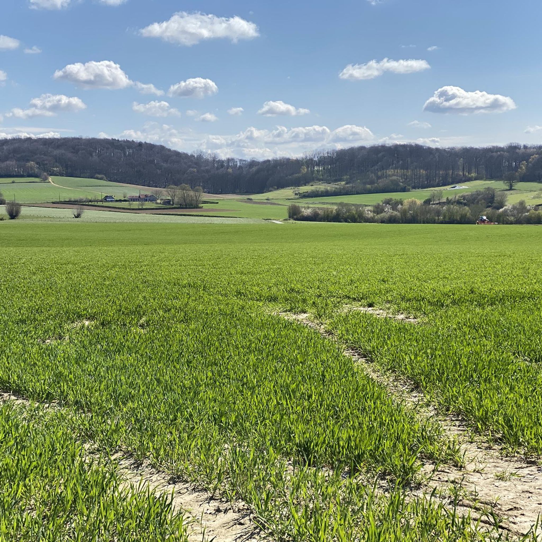
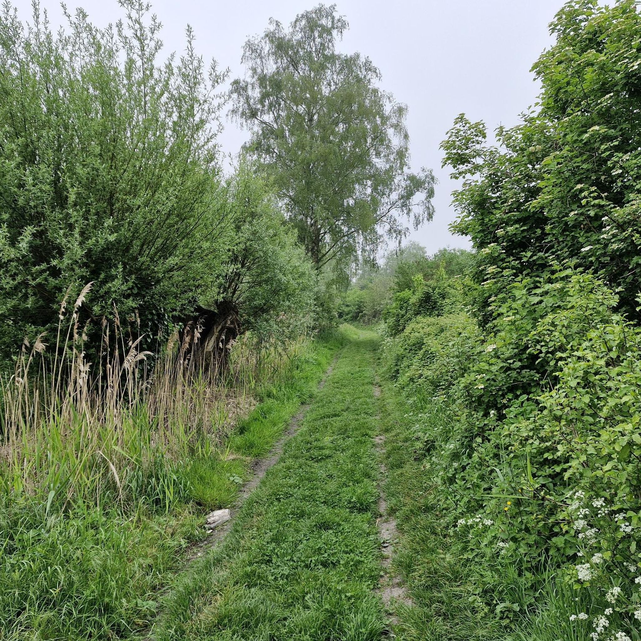
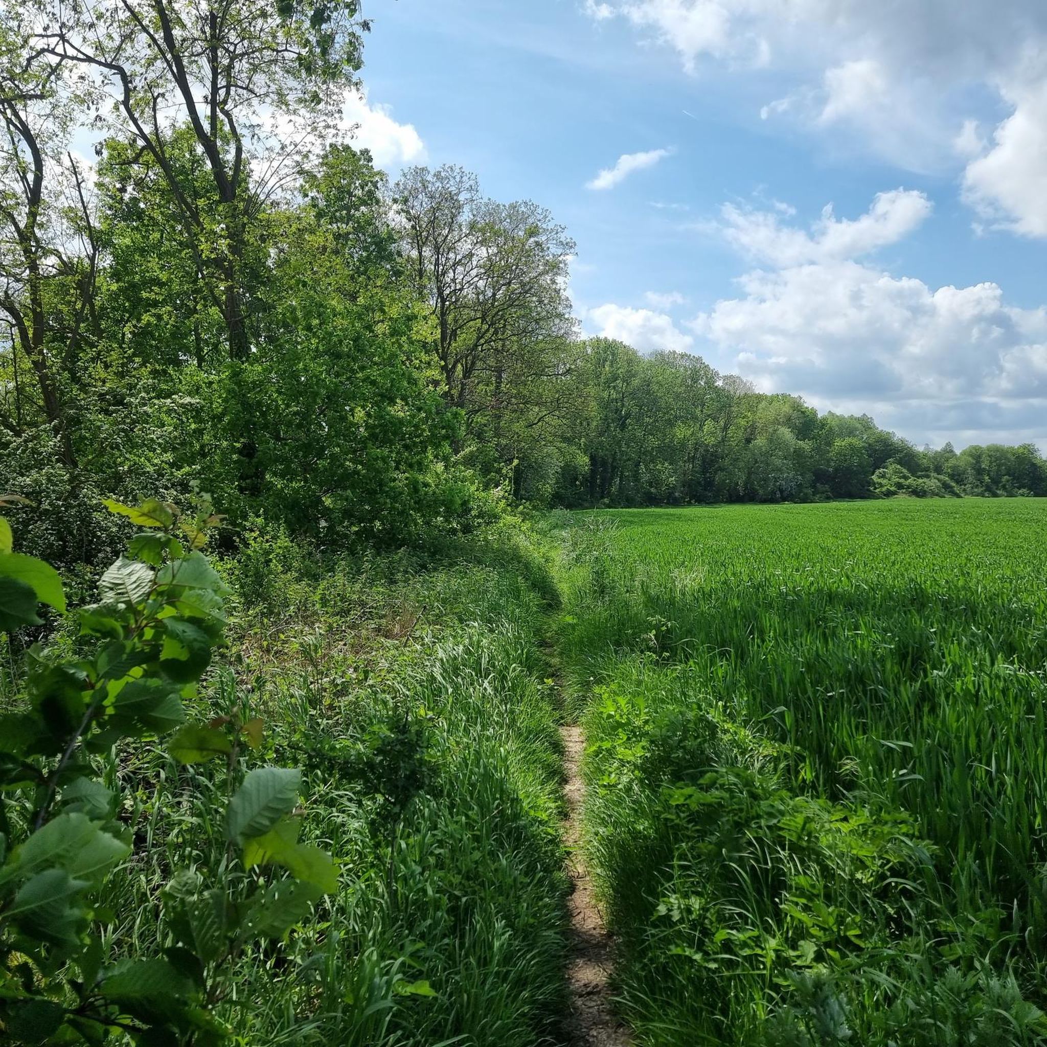


Tips from the Community

Unique and pleasant site
0
0

in concrete like many in the north
0
0
freshly renovated
0
1
with one many bridges
0
1
simple and cute
0
1
church feels very modern
0
1
Frequently Asked Questions
How many hiking trails are available around Cuinchy?
There are 18 hiking trails around Cuinchy, offering a variety of experiences for outdoor enthusiasts. These routes are well-regarded by the komoot community, with an average rating of 4.3 stars.
What kind of terrain can I expect on hikes near Cuinchy?
The terrain around Cuinchy is generally flat, characterized by scenic paths along the Canal d'Aire and open countryside. You'll also encounter historical landscapes, including reclaimed industrial mounds, which offer gentle elevation changes and unique viewpoints.
Are there easy hiking options suitable for beginners or families?
Yes, Cuinchy offers several easy hiking options perfect for beginners or families. For example, the The Cuinchy Lock – Pont des Crêtes loop from Cuinchy is an easy 6.4 km route that provides a pleasant walk without significant challenges.
Can I find longer hiking routes in the Cuinchy area?
Absolutely. If you're looking for a longer hike, consider the A drawbridge – Drawbridge loop from Cuinchy. This moderate route spans 14.8 km, allowing for a more extended exploration of the flat, open landscapes around the waterways.
Are there any circular walks around Cuinchy?
Many of the trails around Cuinchy are designed as loops, offering convenient circular walks. A popular choice is the Canal d'aires à la Bassée – Little church loop from Cuinchy, a 11.4 km moderate trail that brings you back to your starting point.
What historical or natural landmarks can I see while hiking?
The Cuinchy area is rich in both historical and natural landmarks. You can visit the Hill 70 Canadian Memorial, which offers views of Lens, or explore the unique Loos-en-Gohelle slag heap, one of Europe's highest industrial mounds, now reclaimed by nature. The Canal d'aires à la Bassée – War Memorial loop from Cuinchy specifically incorporates a war memorial into its route.
Are the trails around Cuinchy suitable for dogs?
While specific regulations for dogs on every trail are not provided, the generally open and flat nature of many routes, especially those along the Canal d'Aire, makes them suitable for walks with well-behaved dogs on a leash. Always ensure to clean up after your pet.
What do other hikers enjoy the most about hiking in Cuinchy?
The komoot community highly rates the trails in Cuinchy, with an average score of 4.3 stars from over 300 reviews. Hikers often praise the peaceful canal-side paths, the historical points of interest, and the gentle, accessible terrain that makes for enjoyable walks.
Are there any viewpoints or panoramic spots on the hikes?
Yes, for panoramic views, the Loos-en-Gohelle slag heap is a standout. Hiking to its summit offers extensive vistas of the surrounding landscape. The Hill 70 Canadian Memorial also provides elevated views, including glimpses of the city of Lens.
What is the best time of year for hiking in Cuinchy?
The region around Cuinchy, with its varied landscapes including canal paths and open countryside, is generally pleasant for hiking during spring, summer, and early autumn. These seasons offer milder weather and lush scenery. Winter hikes are also possible, though conditions may be cooler and paths potentially muddier.
Is public transport available to reach hiking trailheads in Cuinchy?
While specific public transport links to individual trailheads are not detailed, Cuinchy is a municipality within the Pas-de-Calais department. It's advisable to check local bus services or regional train connections to Cuinchy itself, and then plan your walk to the nearest trailhead.
Are there any 'hidden gem' trails or less-known spots to explore?
The entire region around Cuinchy is considered to have several 'hidden gems' for outdoor exploration. Beyond the well-known canal paths, exploring the areas around the various slag heaps, like Terril 46 of Verquigneul, can lead to unique natural environments and quieter trails that showcase how nature has reclaimed industrial landscapes.
Most popular attractions around Cuinchy

Get inspired with the komoot mobile app


Explore more
Browse the best Hikes in other regions.
