The best running trails around Razecueillé
4.6
(19)
1,803
runners
87
runs
Jogging routes around Razecueillé offer diverse terrain within the Haute-Garonne department of the Occitanie region. The area features an altitude range from 516m to 1538m, providing varied elevation for runners. Landscapes include extensive forests, deep valleys, and significant mountain passes like the Col de Portet-d'Aspet. This environment provides a mix of challenging ascents and tranquil paths for running.
Best jogging routes around Razecueillé
- The most popular jogging route is View of the Cagire loop from Juzet-d'Izaut, a 10.5 miles…
Last updated: July 4, 2026
176
runners
16.9km
03:32
1,330m
1,330m
Hard run. Very good fitness required. Sure-footedness, sturdy shoes and alpine experience required.
44
runners
25.7km
04:32
1,480m
1,490m
Hard run. Very good fitness required. Sure-footedness, sturdy shoes and alpine experience required.

Sign up for free
10
runners
12.9km
02:03
720m
720m
Hard run. Very good fitness required. Sure-footedness, sturdy shoes and alpine experience required.
4
runners
15.8km
01:43
260m
260m
Hard run. Very good fitness required. Mostly paved surfaces. Suitable for all skill levels.
5.0
(1)
4
runners
7.59km
01:07
340m
340m
Hard run. Very good fitness required. Sure-footedness, sturdy shoes and alpine experience required.
Get access to more routes and recommendations from other explorers.
Sign up for free
Already have an account?
Our route recommendations are based on thousands of hikes, rides, and runs completed by other people on komoot.
Start today with a free account
Your next adventure awaits.
Login or Signup
Tips from the Community

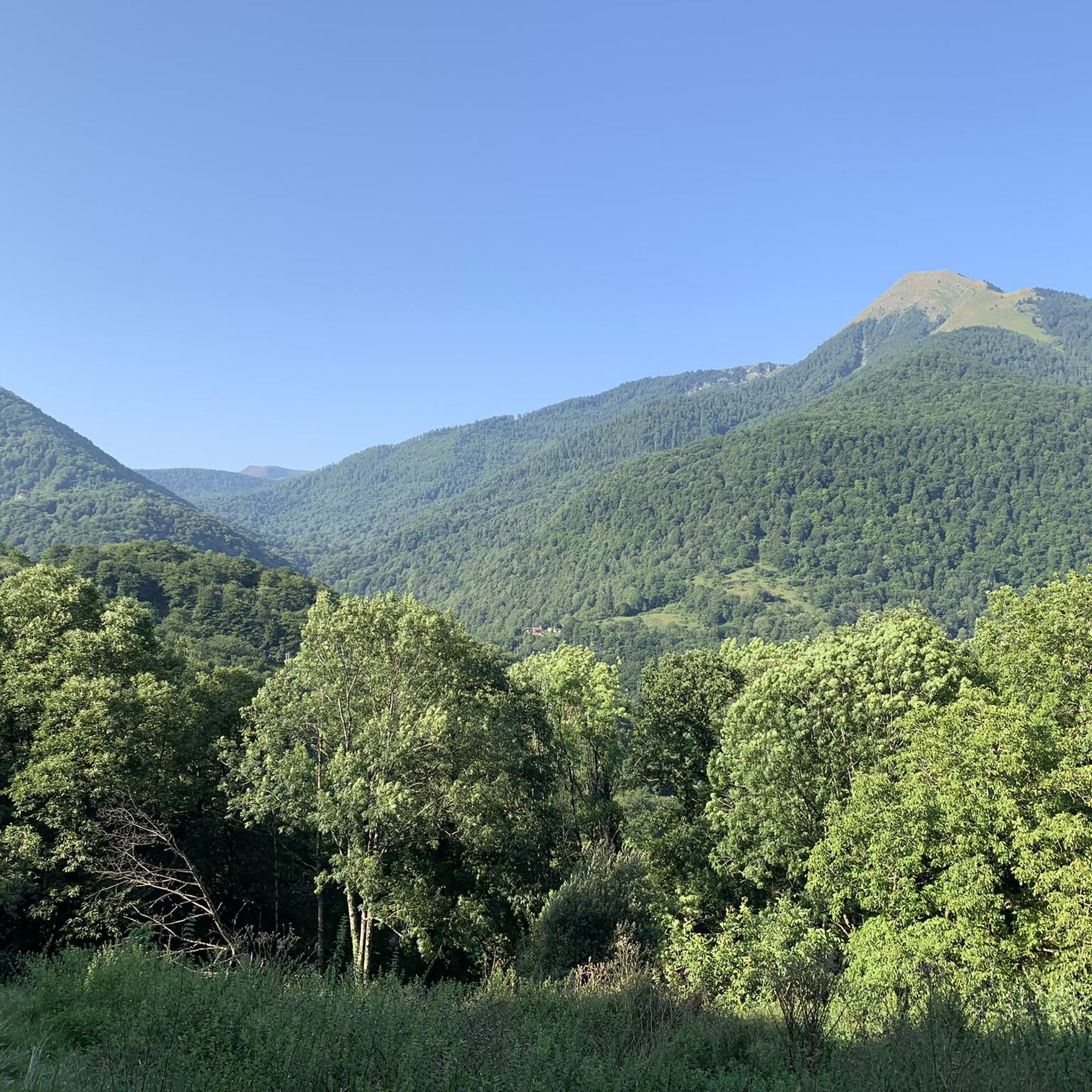
A very beautiful summit just before the Pic du Cagire. It offers a very beautiful view of many peaks: Pic de Midi de Bigorre, Aneto, etc. You can also see the Boutx ski resort!
0
0
Very beautiful peak! Magnificent view of the Aneto massif! I recommend it!
0
0

I would like to make hikers aware that this route can become particularly dangerous in winter, particularly because of the ridge towards the Pas de l'Ane which can become covered in ice. In this case, ice axes and mountaineering crampons are essential. 2 people died at this location on 1/1/2025, which triggered access bans. I have taken steps to have these bans lifted while raising awareness in a constructive way. Take the time to find out about the snow conditions before undertaking this hike. Enjoy your walks!
9
1

Beautiful pass of the Tour de France offering a very beautiful point of view at its summit. It can be accessed by gravel or mountain bike in two different ways and also left in two different ways without going through the tarmac ...
1
1

Crossroads for the Cagire and the Pic d'Escalette
0
0

Nice panorama before the climb to the Peak!
0
0

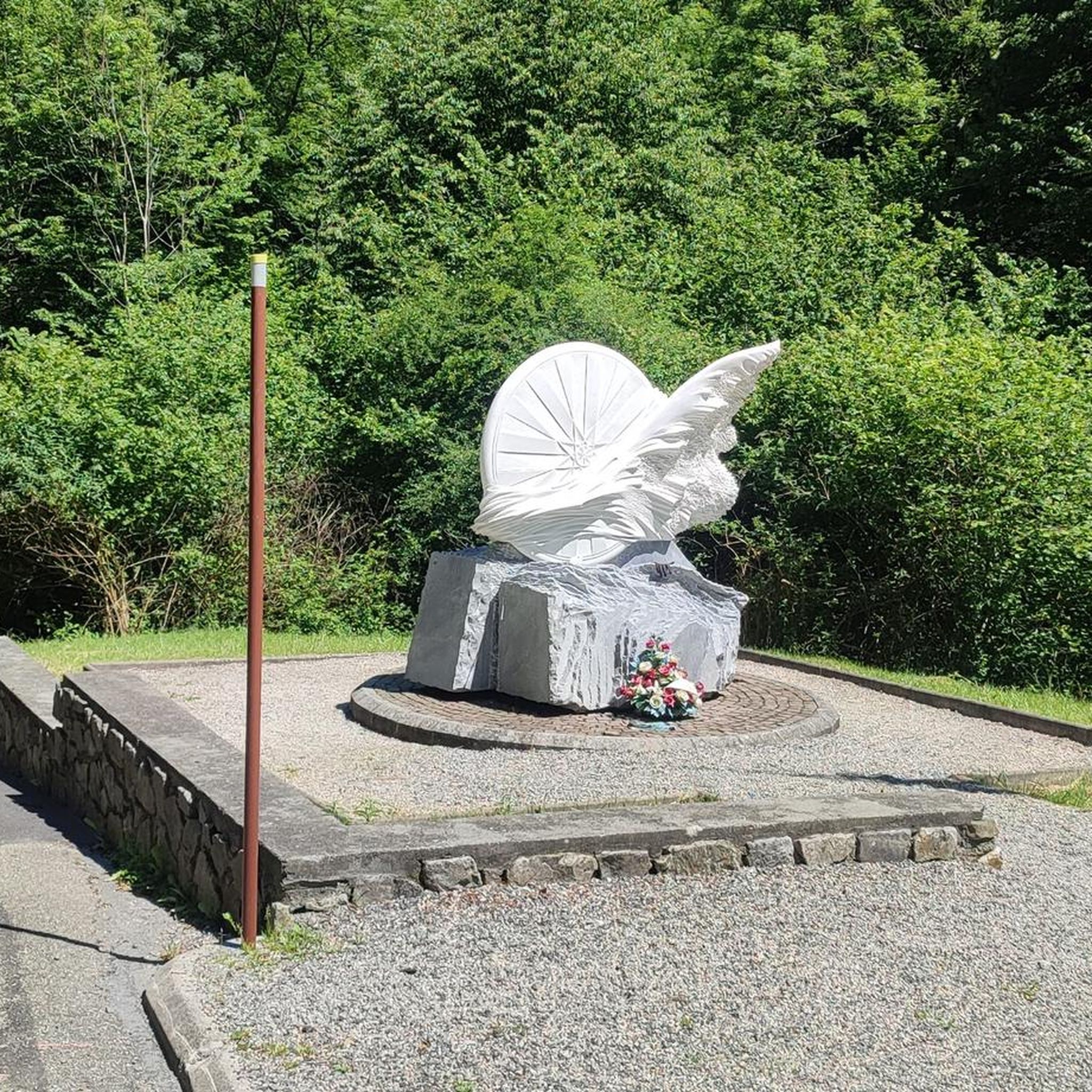
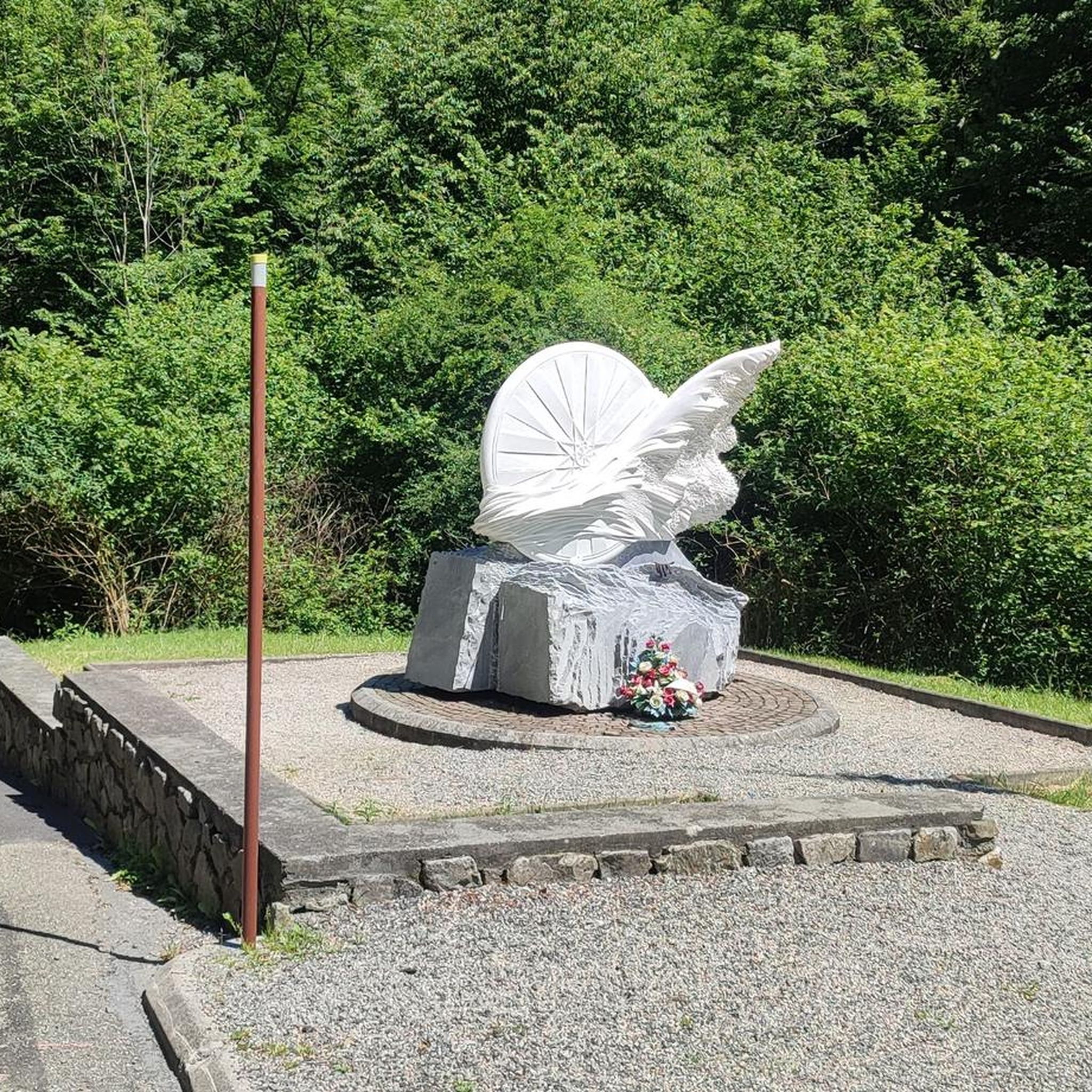
Popular with cyclists, the Portet-d'Aspet pass peaks at an altitude of 1,069 meters between the Ger and Bouigane valleys.
1
0

Mythical pass marked several times by the Tour de France. The panorama is remarkable!
1
0
Frequently Asked Questions
How many running routes are available around Razecueillé?
There are over 100 running routes in the Razecueillé area, offering a wide range of options for different preferences and fitness levels. You'll find everything from easy paths to very challenging mountain runs.
Are there running routes suitable for beginners or those seeking an easier jog?
Yes, Razecueillé offers a few easier running routes, with 4 classified as 'easy' and 21 as 'moderate'. These paths are generally less demanding in terms of elevation gain and terrain, making them suitable for beginners or a more relaxed jog.
What kind of terrain can I expect on the jogging routes in Razecueillé?
The terrain around Razecueillé is highly varied, ranging from extensive forests with shaded paths to deep valleys and significant mountain passes. You can expect a mix of wooded areas, open spaces, and challenging ascents, reflecting the region's Pyrenean foothills landscape. The altitude ranges from 516m to 1538m, ensuring diverse running experiences.
Are there any running routes that offer spectacular views or pass by natural landmarks?
Absolutely! Many routes provide breathtaking views of the surrounding Pyrenees. For instance, the Paloumère Peak – Cornudère Summit loop from Portet-d'Aspet offers expansive vistas. You can also explore routes near natural sites like the Gorges de la Save or Lac d'Oo, which are within a short distance of the area. Keep an eye out for highlights like View of Pic de Paloumère and the Pyrenees for guaranteed scenic spots.
Can I find circular running routes in Razecueillé?
Yes, many of the running routes in Razecueillé are circular, allowing you to start and finish at the same point. Examples include the challenging View of the Cagire loop from Juzet-d'Izaut and the Pic de Cagire loop from Juzet-d'Izaut, both offering significant elevation gains and rewarding experiences.
Are there any specific mountain passes or peaks that runners can aim for?
For runners seeking a challenge, the region features prominent mountain passes like the Portet-d'Aspet pass (1,069 meters) and the Menté Pass (1,349 meters). Several routes also lead to peaks such as Pic de Cagire or Gar Peak, offering strenuous workouts and incredible panoramic views.
What do other runners say about the trails in Razecueillé?
The running routes in Razecueillé are highly regarded by the komoot community, holding an average rating of 4.6 stars from over 15 reviews. More than 2000 runners have used komoot to explore the varied terrain, often praising the challenging ascents, the tranquility of the forests, and the rewarding Pyrenean views.
Are there any shaded running routes, especially for warmer days?
Yes, the landscape around Razecueillé features extensive forests, including ancient beech trees. Many running paths wind through these wooded areas, providing welcome shade and tranquil environments, which can be particularly pleasant during warmer periods.
What is the best time of year to go running in Razecueillé?
The diverse terrain means running can be enjoyed for much of the year. Spring and autumn offer pleasant temperatures and vibrant scenery. Summer provides shaded forest routes, while winter can offer unique challenges on higher trails, though conditions may require appropriate gear and caution due to snow or ice on mountain passes.
Are there any historical or cultural sites near the running routes?
While primarily a natural destination, Razecueillé is close to several cultural sites. You can find historical points along pilgrimage routes, such as the Valcabrère basilica St Just or the cathédrale and chapelle St Julien in Saint-Bertrand-de-Comminges. The charming Belle Époque thermal town of Bagnères-de-Luchon is also just 26km away.
Are there any running routes that are particularly challenging?
For experienced runners seeking a significant challenge, Razecueillé offers numerous difficult routes. For example, the Col de Buret – Gouffre loop from Juzet-d'Izaut covers 11.9 km with over 760 meters of elevation gain, while the Cornudère Summit loop from Portet-d'Aspet is an 18.5 km route with over 1200 meters of ascent. These routes require excellent physical condition and offer substantial rewards.
Most popular attractions around Razecueillé

Get inspired with the komoot mobile app


Explore more
Browse the best Running Trails & Routes in other regions.
