The best road cycling routes around Ottendorf
4.1
(56)
1,058
riders
143
rides
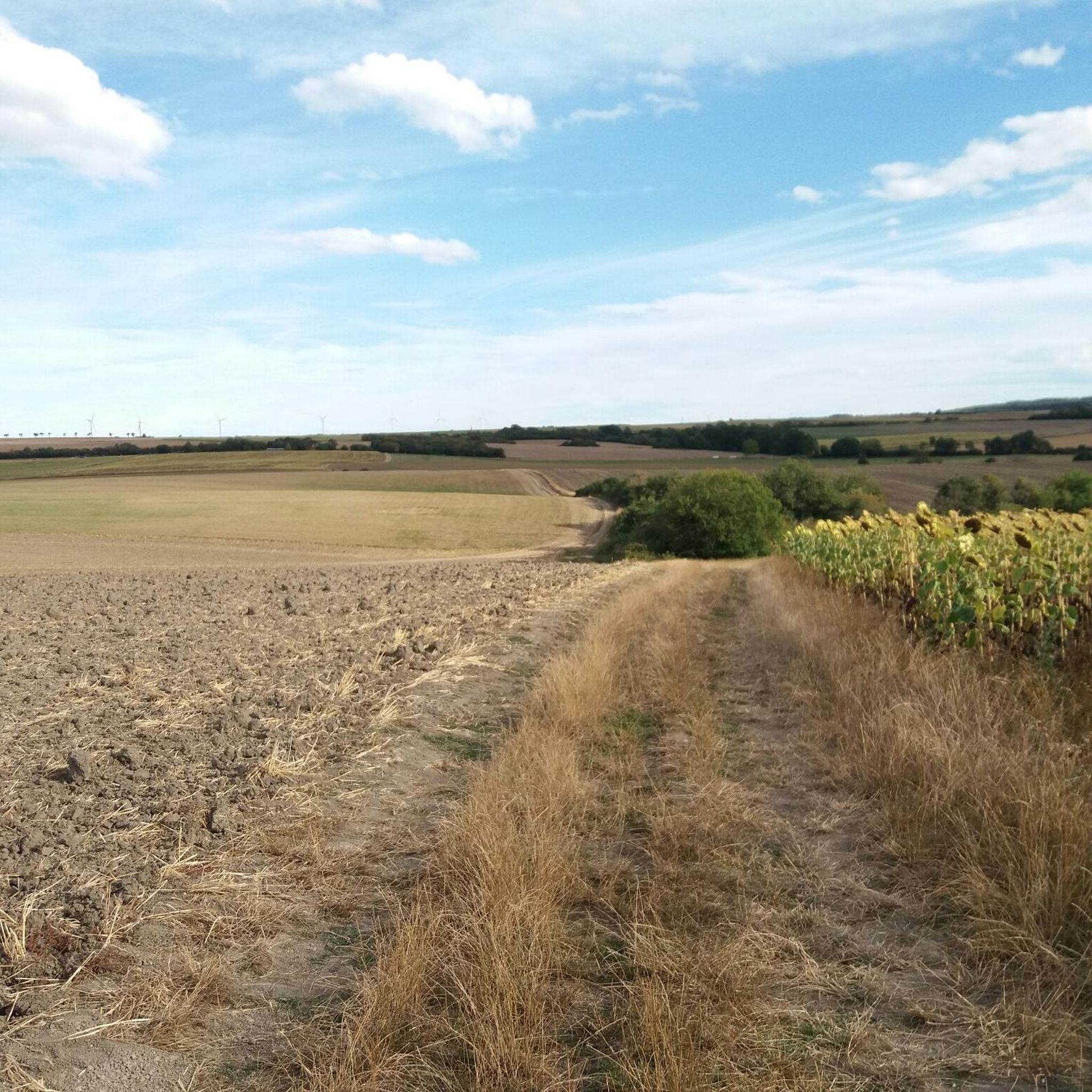
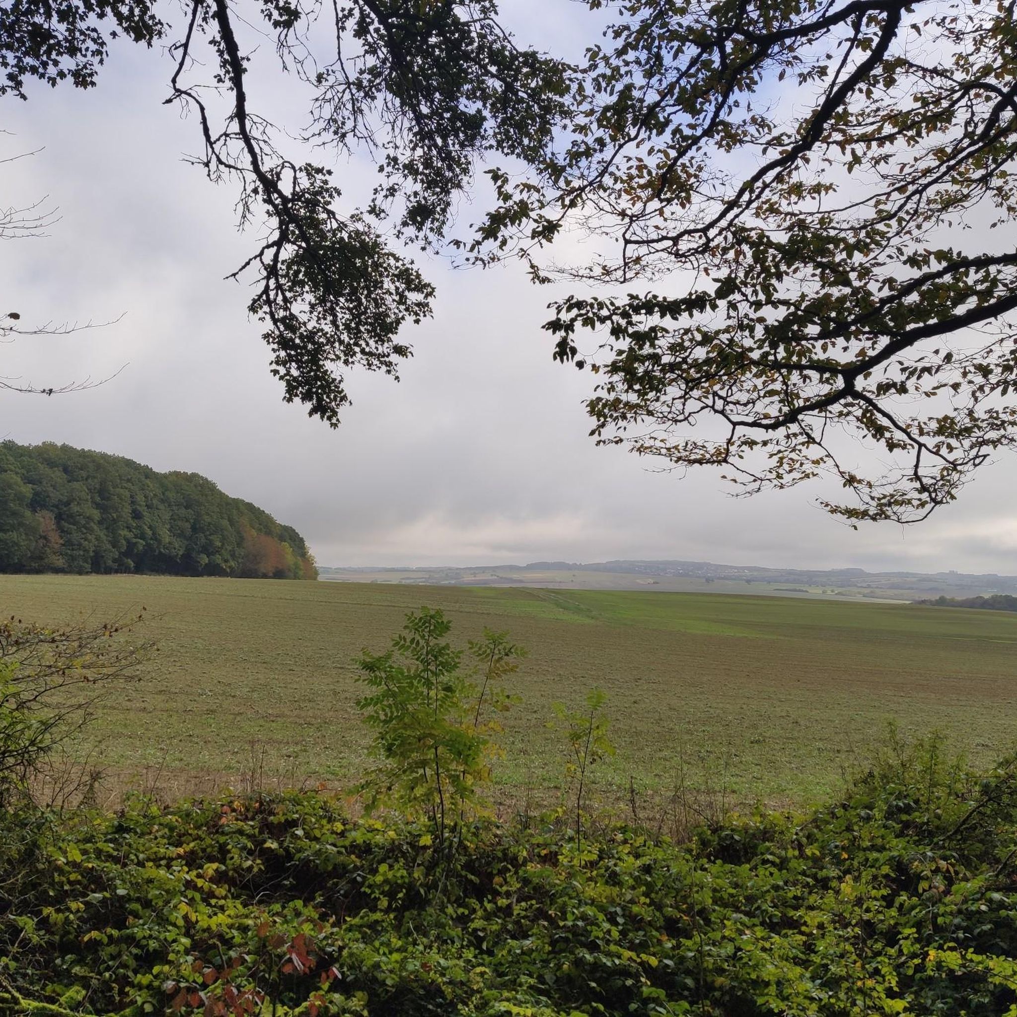
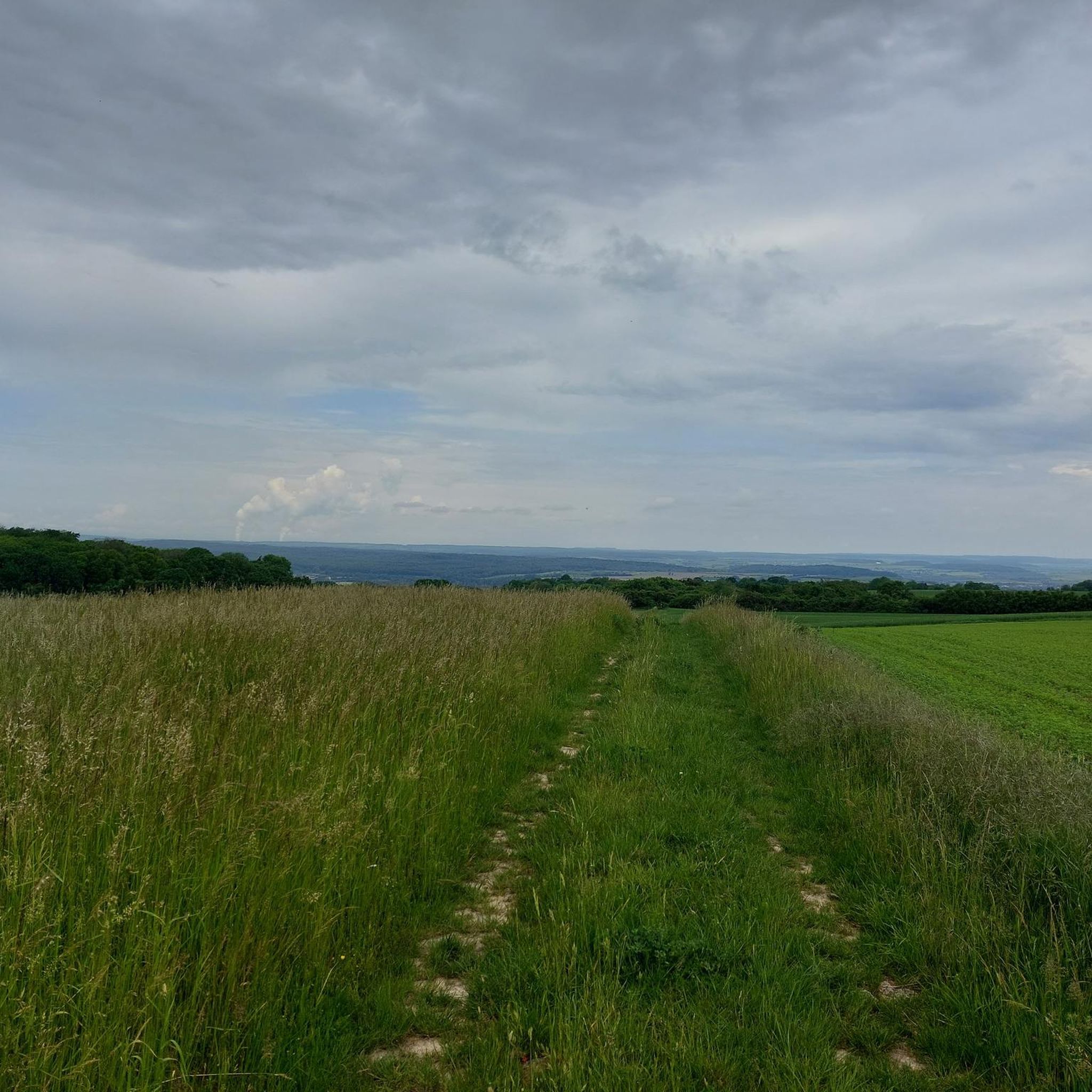
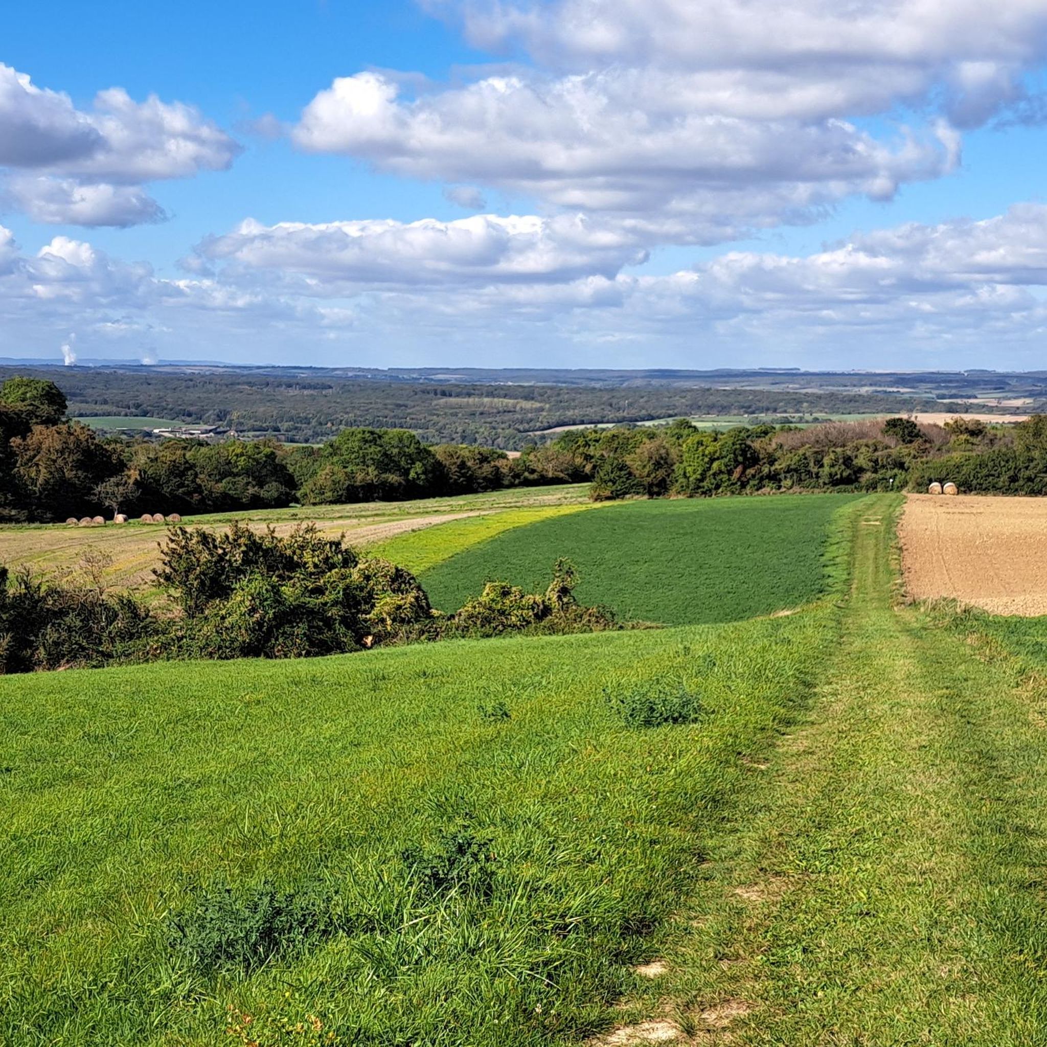
Road cycling around Ottendorf is characterized by rolling hills, dense forests, and lush meadows, providing varied terrain for cyclists. The region's topography offers both challenging ascents and exhilarating descents, alongside flatter sections near the Saale River. Extensive woodlands and charming valley villages contribute to the scenic backdrop for road cycling routes.
Best road cycling routes around Ottendorf
- The most popular road cycling route is Bisten Park – War Memorial for the Fallen loop from Coume, a 40.4 miles (65.0…
Last updated: August 30, 2026
10
riders
83.0km
03:58
750m
750m
Moderate road ride. Good fitness required. Some segments of this route may be unpaved and difficult to ride.
3.2
(5)
13
riders
48.8km
02:05
350m
350m
Moderate road ride. Good fitness required. Mostly well-paved surfaces and easy to ride.

Sign up for free
15
riders
59.9km
02:54
670m
680m
Moderate road ride. Good fitness required. Mostly well-paved surfaces and easy to ride.
14
riders
49.8km
02:31
650m
650m
Moderate road ride. Good fitness required. Some segments of this route may be unpaved and difficult to ride.
3.5
(4)
15
riders
49.5km
02:09
330m
330m
Moderate road ride. Good fitness required. Mostly well-paved surfaces and easy to ride.
Get access to more routes and recommendations from other explorers.
Sign up for free
Already have an account?
Our route recommendations are based on thousands of hikes, rides, and runs completed by other people on komoot.
Start today with a free account
Your next adventure awaits.
Login or Signup

Tips from the Community

Very beautiful wooden sculpture
1
0

This beautiful rest area with its quaint sculptures is located directly in front of the bridge over the Nied River near Freistoff. Crossing the bridge, there's also a "regular" rest area on the other side of the Nied River.
2
0

⛪ **Saint-Croix Abbey in Bouzonville – Monastic Tradition with a Rich History** The **Saint-Croix Abbey** in **Bouzonville** is one of the oldest monastic complexes in the region. Founded in the **11th century**, it was a spiritual center between the Moselle and Saar rivers for centuries. The Romanesque-Gothic architecture of the monastery church has been rebuilt and restored several times, but its origins remain. 📜 After its dissolution during the French Revolution, the monastery was partially destroyed but later returned to religious use. Today, it is inhabited by a **Benedictine community** that welcomes visitors. **Tip:** The simple, spiritual atmosphere of the complex invites you to pause for a moment. Ideal for a quiet stroll or a quick visit to the monastery shop – featuring handmade products made by the nuns.
0
0

Very nice bike ride, lots of wind today, but also lots of fun.
1
0

Silwingen towards Biringen (asphalted field path) - Gellenberg - peak approx. 14% gradient
0
0

Great way to cool down on hot days. But unfortunately no drinking water.
0
0

The Hussards hill is a beautiful place for mountain biking. Several circuits are available at its entrance.
0
0
Memorial to the fallen of the two world wars 🕊️
0
0
Frequently Asked Questions
What kind of terrain can I expect when road cycling around Ottendorf?
Road cycling around Ottendorf features a diverse landscape of rolling hills, dense forests, and lush meadows. You'll find both challenging ascents and exhilarating descents, as well as flatter sections, particularly near the Saale River. The region's charming valley villages also add to the scenic backdrop.
Are there challenging road cycling routes in Ottendorf?
Yes, Ottendorf offers several challenging road cycling routes. For instance, the Saarradweg Near Dillingen – Saar Cycle Route loop from Coume is a moderate 80.3 km (49.9 miles) route with over 749 meters (2,457 feet) of elevation gain, often completed in about 3 hours 50 minutes. Overall, there are 7 difficult routes available in the area.
Are there easy road cycling routes for beginners in Ottendorf?
Yes, Ottendorf caters to all skill levels, including beginners. There are 21 easy road cycling routes available. These routes typically feature less elevation gain and shorter distances, allowing for a more relaxed ride through the picturesque landscape.
What natural features will I encounter on road cycling routes near Ottendorf?
You'll cycle through extensive woodlands and open meadows, especially vibrant in spring and autumn. Many routes also offer scenic views along the Saale River. The region is known for its 'valley villages' with half-timbered houses, providing charming cultural sights amidst the natural beauty.
What is the best season for road cycling in Ottendorf?
Spring and autumn are particularly vibrant seasons for road cycling in Ottendorf, offering beautiful natural scenery and pleasant temperatures. Summer also provides excellent conditions, with the added benefit of a nearby forest pool for relaxation after a ride.
Are there any interesting landmarks or attractions to see along the road cycling routes?
While cycling, you can explore various points of interest. Consider visiting the Lotharingian Cross on the Border, or the historic Border Path with Historic Boundary Stones (N 55) – West of Berus. The Saint Joan of Arc Church also offers a notable stop.
How long are the road cycling routes around Ottendorf?
The road cycling routes around Ottendorf vary significantly in length and duration. For example, the Bisten Park – War Memorial for the Fallen loop from Coume is 65 km (40.4 miles) and takes approximately 3 hours, while the Linslerhof – Bisten Park loop from Coume is 65.4 km (40.6 miles) and takes around 2 hours 50 minutes. Many routes fall within the 2-4 hour range, with some longer options available.
What do other road cyclists enjoy the most about road cycling in Ottendorf?
The road cycling experience in Ottendorf is highly rated by the komoot community, with an average score of 4.7 stars from over 20 reviews. Cyclists often praise the varied terrain, which includes rolling hills and scenic sections along the Saale River, as well as the extensive woodlands and charming valley villages that make for a picturesque ride.
Are there circular road cycling routes available in Ottendorf?
Yes, many of the road cycling routes around Ottendorf are designed as loops, allowing you to start and end your ride in the same location. Examples include the Bisten Park – War Memorial for the Fallen loop from Coume and the Weir on the Nied River – Beautiful chapel loop from Boulay-Moselle, which is a moderate 48.9 km (30.4 miles) route.
How many road cycling routes are there in Ottendorf?
There are over 130 road cycling routes available around Ottendorf, offering a wide variety of options for different skill levels and preferences. This includes 21 easy, 105 moderate, and 7 difficult routes.
Are there any routes that pass through the 'valley villages' mentioned in the region?
Yes, the region's landscape includes charming 'valley villages' nestled within the hilly terrain, characterized by half-timbered houses and farm structures. Many routes are designed to pass through these picturesque settlements, offering cultural points of interest and a glimpse into local life during your ride.
What is the elevation gain like on road cycling routes in Ottendorf?
The elevation gain varies significantly across routes, reflecting the region's rolling hills. For example, the Teterchen Church – The German Nied loop from Boulay-Moselle, a moderate 59.9 km (37.2 miles) route, features over 674 meters (2,211 feet) of ascent. You can expect substantial climbs on many of the moderate and difficult routes.
Most popular attractions around Ottendorf

Get inspired with the komoot mobile app


Explore more
Browse the best Road cycling routes in other regions.
