The best running trails around Mulhausen
4.4
(147)
5,767
runners
304
runs
Jogging around Mulhausen offers diverse landscapes, from rolling hills to picturesque river valleys and dense woodlands. The region is characterized by varied terrain, including extensive forest networks and paths along the Unstrut river. Runners can explore routes that incorporate natural springs and the historic city wall, providing a mix of natural and cultural features. This varied environment caters to different fitness levels, from gentle paths to more challenging ascents.
Best jogging routes around Mulhausen
- The most popular jogging route is…
Last updated: October 9, 2026
12
runners
12.0km
01:34
370m
370m
Hard run. Very good fitness required. Mostly paved surfaces. Suitable for all skill levels.
7
runners
6.63km
00:45
70m
70m
Moderate run. Good fitness required. Mostly paved surfaces. Suitable for all skill levels.

9
runners
7.48km
00:49
90m
80m
Moderate run. Good fitness required. Mostly paved surfaces. Suitable for all skill levels.
5
runners
4.45km
00:29
40m
40m
Easy run. Great for any fitness level. Mostly paved surfaces. Suitable for all skill levels.
5.0
(1)
7
runners
17.5km
02:10
400m
400m
Hard run. Very good fitness required. Mostly paved surfaces. Suitable for all skill levels.
Get access to more routes and recommendations from other explorers.
Already have an account?
Our route recommendations are based on thousands of hikes, rides, and runs completed by other people on komoot.
Start today with a free account
Your next adventure awaits.
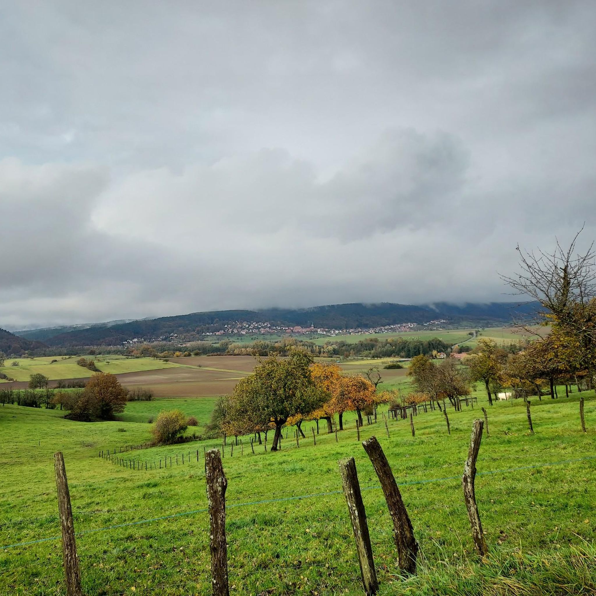
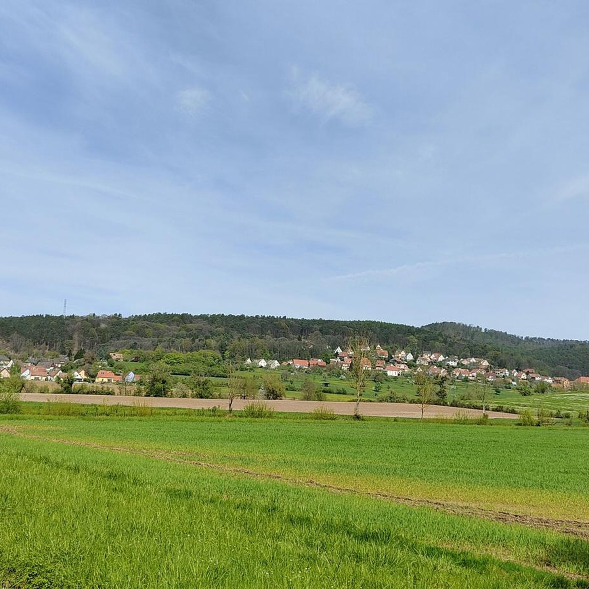
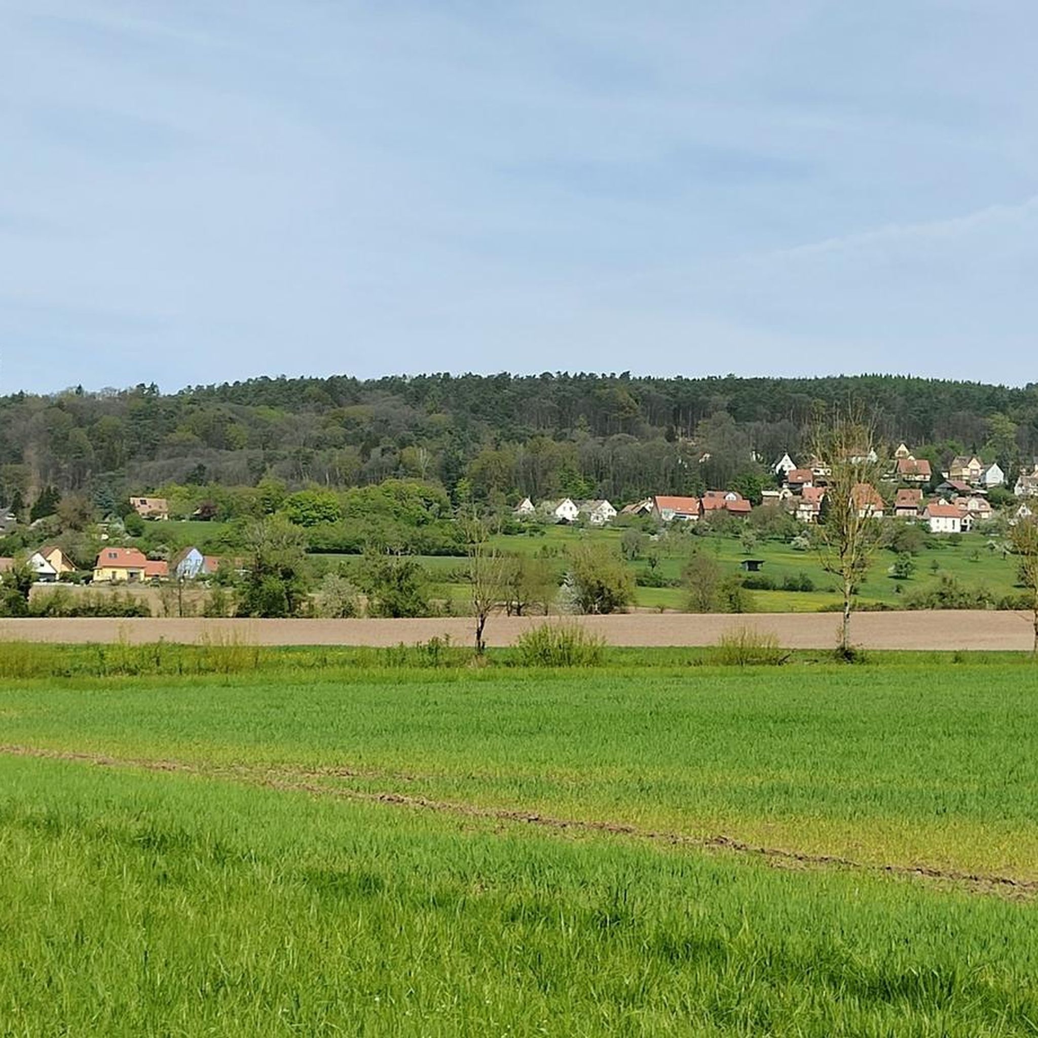
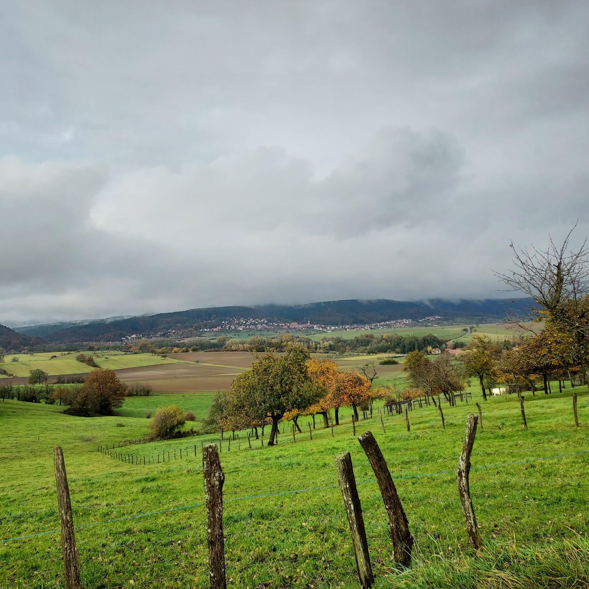

Tips from the Community

This shelter is located in the middle of the forest. It's open and can accommodate 8 to 10 people. There are approximately 15 spots available outside.
0
0

This place has a lovely view over the surrounding area, has picknick benches for a proper lunch or bikepackingdinner. We even rolled out our bivi's and spend the night. TIP the cemetery provided water and we found this very convenient on our trip!
0
0
From Wikipedia https://de.wikipedia.org/wiki/Burg_Lichtenberg_(Alsace) The castle is surrounded by a wide, deep moat that allows access in only one place. Standing on the moat, the castle shows only high smooth walls without windows. Inside the castle complex there are terraces and meadows next to the buildings. Modern exhibition rooms are integrated in the former "western house" from the 15th and 16th centuries with its round windows, which are unusual for Alsace. The 16th-century 'arsenal of arms' has been converted into a large exhibition space and a cantilevered auditorium has been added which juts out from the old structure of the castle. From the artillery terrace of 1840 there is a wide view all around. Parts of the castle complex and all exhibition rooms are barrier-free accessible. A late Gothic castle chapel is well preserved. It was dedicated to the Trinity. A portrait of Saint Christopher was painted on the side facing the towers.[1] The chapel also served the town of Lichtenberg itself as a church, since it did not have its own.
1
0

This forest crossing gives you many options to the Rothkopf or Buchwalder Kopf or to Lichtenberg
1
0
Proud rock formations that were also used as a quarry nearby🚵♂️
1
0
An ideal place to take a break with shelter when it rains 🌦
2
0

Frequently Asked Questions
How many running routes are available around Mulhausen?
There are over 280 running routes around Mulhausen, offering a wide variety of options for all fitness levels. The komoot community has explored these trails over 4000 times, highlighting the region's popularity for outdoor activities.
What do other runners say about the jogging routes in Mulhausen?
The running routes in Mulhausen are highly rated by the komoot community, with an average score of 4.5 stars from over 100 reviews. Runners often praise the diverse landscapes, from rolling hills and dense woodlands to scenic river valleys, and the mix of natural and cultural features like the historic city wall.
What kind of terrain can I expect on running trails near Mulhausen?
You can expect a diverse range of terrain, including rolling hills, picturesque river valleys along the Unstrut, and dense woodlands. The region features extensive forest networks like the Mühlhausen City Forest and parts of the Hainich National Park, offering both gravel paths and more challenging ascents. Some routes also incorporate urban green spaces and paths along the historic city wall.
Are there running routes suitable for beginners in Mulhausen?
Yes, Mulhausen offers 12 easy running routes perfect for beginners or those looking for a more relaxed jog. These trails typically feature gentler paths and less elevation gain, allowing you to enjoy the scenery at a comfortable pace.
Can I find challenging or advanced running routes in the Mulhausen area?
Absolutely. For experienced runners seeking a challenge, there are 64 difficult routes available. An example is the Matzenstein – Hochfirst loop from Rothbach, a 12.1 km trail with significant elevation gain through varied forest terrain. Another demanding option is the Lichtenberg Castle – Col de Buchwalderkopf loop from Rothbach, which spans nearly 17.5 km.
Are there options for longer distance running around Mulhausen?
Yes, for those looking to cover more ground, Mulhausen provides several longer distance running trails. The Lichtenberg Castle – Col de Buchwalderkopf loop from Rothbach is a notable example, stretching almost 17.5 km. The Mühlhausen City Forest also features an advanced 17 km jogging route that ascends through the forest to landmarks like the Popperode fountain house.
Are there any circular running routes available in Mulhausen?
Many of the running routes around Mulhausen are circular, allowing you to start and end at the same point. Popular examples include the Le Langenwasen loop from Schillersdorf, a moderate 6.6 km path, and the Running loop from Mulhausen, which is also 6.6 km and passes through urban green spaces.
Can I find running trails that pass by historical landmarks or natural features?
Yes, Mulhausen's routes often combine natural beauty with historical interest. You can run along the almost completely preserved medieval city wall, offering unique views of the town. Natural features like the Popperöder Brunnenhaus and Schwanenteich are often integrated into routes. For historical sites, consider routes near Lichtenberg Castle or Wasenbourg Castle.
Are the running trails around Mulhausen suitable for dogs?
Many of the natural trails and forest paths in and around Mulhausen, particularly within the Mühlhausen City Forest and the Eichsfeld-Hainich-Werratal Nature Park, are suitable for running with dogs. It's always recommended to keep dogs on a leash, especially in nature protection areas, and to be mindful of local regulations.
What is the best time of year for jogging in Mulhausen?
Spring and autumn are generally considered the best times for outdoor activities like jogging in Mulhausen. The mild temperatures and vibrant natural scenery during these seasons provide ideal conditions for enjoying the diverse landscapes.
Are there any viewpoints along the running trails in Mulhausen?
Yes, several routes offer scenic viewpoints. The viewing platform of the Rabenturm (Crow Tower) on the historic city wall provides an unrivalled panorama of Mulhausen. Additionally, the Englishberg West Viewpoint and Viewpoint on the Englishberg are popular spots for panoramic views over the surrounding landscape.
Are there running routes accessible by public transport in Mulhausen?
Given Mulhausen's urban setting and integration with natural areas, many routes are likely accessible via public transport within the town or at its outskirts. For example, the 17 km jogging route through the city forest starts and ends at the Stadion an der Aue, which is typically well-connected.
Where can I find parking near the running routes in Mulhausen?
Parking is generally available near popular starting points for running routes. For trails entering the Mühlhausen City Forest, areas around the Stadion an der Aue often provide parking. For routes closer to the town center, public parking facilities within Mulhausen would be suitable starting points.
Most popular attractions around Mulhausen

Get inspired with the komoot mobile app


Explore more
Browse the best Running Trails & Routes in other regions.
