The best walks and hikes around Gottesheim
4.4
(1017)
5,097
hikers
220
hikes
Hiking around Gottesheim offers routes through varied terrain, characterized by rolling hills and woodlands. The region features geological formations and elevated points like Bastberg, providing diverse landscapes for exploration. These trails often pass through agricultural areas and small villages, connecting natural features with local history.
Best hiking trails around Gottesheim
- The most popular hiking route is Geological trail of Bastberg — loop from Bouxwiller, a 3.3 miles (5.2 km) trail that takes 1 hour 26 minutes to complete. This…
Last updated: July 5, 2026
4.7
(19)
91
hikers
5.24km
01:27
90m
90m
Easy hike. Great for any fitness level. Easily-accessible paths. Suitable for all skill levels.
5.0
(4)
34
hikers
10.2km
02:49
170m
170m
Moderate hike. Good fitness required. Easily-accessible paths. Suitable for all skill levels.

Sign up for free
4.6
(8)
34
hikers
Easy hike. Great for any fitness level. Easily-accessible paths. Suitable for all skill levels.
4.5
(17)
65
hikers
5.39km
01:30
100m
100m
Easy hike. Great for any fitness level. Easily-accessible paths. Suitable for all skill levels.
5.0
(1)
14
hikers
5.19km
01:25
80m
80m
Easy hike. Great for any fitness level. Easily-accessible paths. Suitable for all skill levels.
Get access to more routes and recommendations from other explorers.
Sign up for free
Already have an account?
Our route recommendations are based on thousands of hikes, rides, and runs completed by other people on komoot.
Start today with a free account
Your next adventure awaits.
Login or Signup

Tips from the Community

A great destination for a short hike or a mountain bike tour. There are several information boards in the area with all sorts of details. 👍
1
0
This is one of the possible starting points for a hike to or around the Bastberg.
1
0

The witches from the neighboring Bastberg were probably once hanged here. No view because wooded beautiful trails.
1
0
Was probably a meeting place for witches in the past - they were probably hanged up shortly afterwards on the neighboring Galgenberg. Today a mighty summit cross is supposed to keep away all sorts of occult things.
1
0
The small mountain is wooded - so no view - but beautiful trails. I derive the former use of the hill from the name.
1
0
Once a meeting point for witches - today a mighty summit cross is supposed to keep everything occult away.
3
0

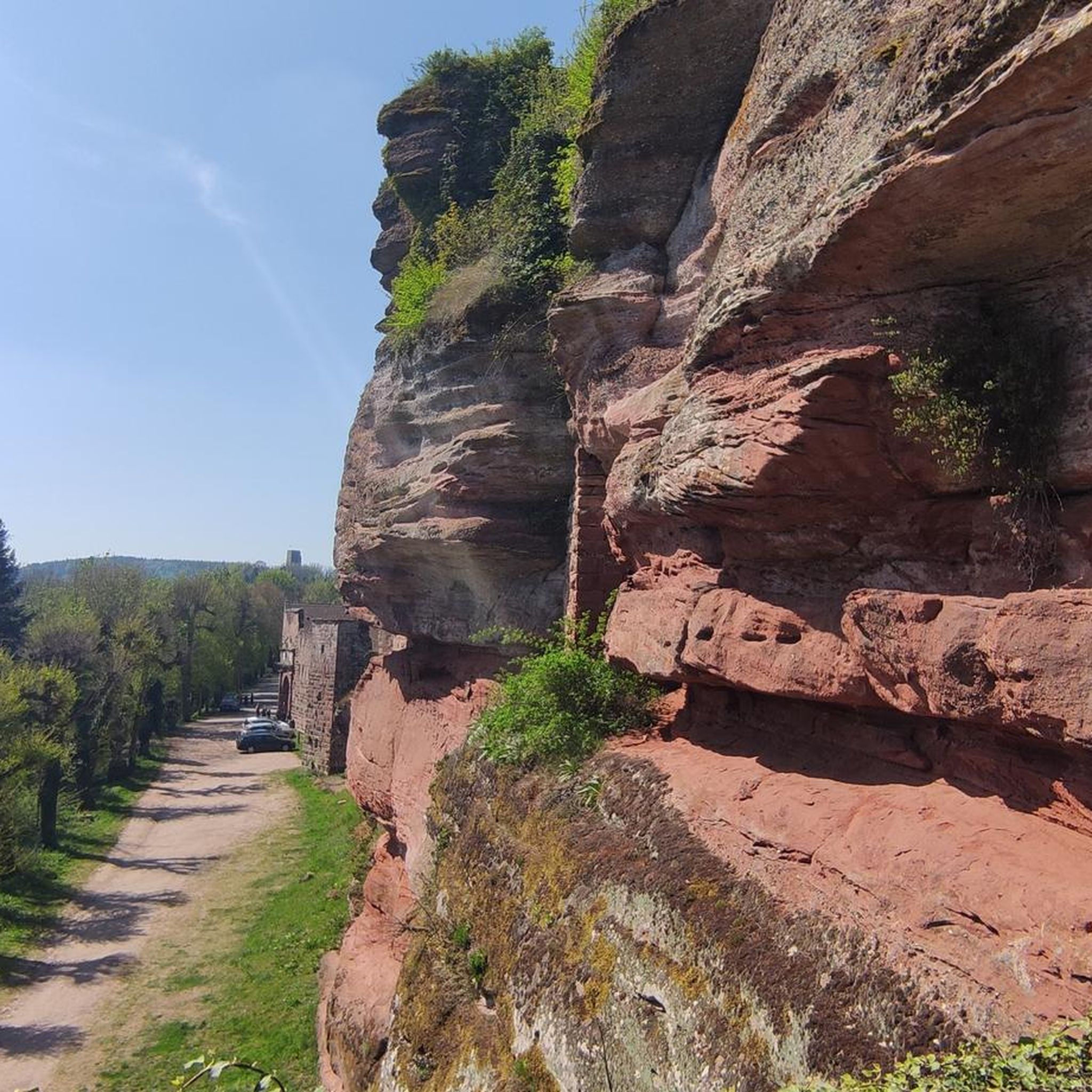
The Bastberg (in French Mont Saint-Sébastien), also called Petit-Bastberg, is a summit located not far from the Vosges du Nord regional natural park, in the town of Bouxwiller. It rises to 326 square meters. Made up of two elements, the Bastberg is home to typical flora and fauna due to its geological origin and its orientation. The ecosystem is fragile due to human and natural intrusions, and has been the subject of conservation measures since 1989.
1
0
Frequently Asked Questions
How many hiking trails are available around Gottesheim?
There are over 200 hiking routes around Gottesheim, offering a wide variety of options. These include 90 easy routes, 107 moderate routes, and 22 more challenging trails, catering to different fitness levels and preferences.
What do other hikers enjoy most about the trails in Gottesheim?
The hiking trails around Gottesheim are highly rated by the komoot community, with an average score of 4.4 stars from over 900 reviews. Hikers often praise the varied terrain, which includes rolling hills, woodlands, and interesting geological features, as well as the well-maintained paths that connect natural landscapes with small villages.
Are there easy hiking options suitable for beginners in Gottesheim?
Yes, Gottesheim offers many easy hiking options. For instance, the Geological trail of Bastberg — loop from Bouxwiller is an easy 3.3-mile (5.2 km) route with gentle ascents, perfect for a relaxed walk. Another accessible option is the Gallows Hill – Bastberg Summit Cross loop from Imbsheim, which is 3.4 miles (5.4 km) and leads through pleasant hills and forests.
Are there any challenging hikes in the Gottesheim area?
While Gottesheim is known for its rolling hills, there are 22 routes classified as difficult for those seeking a greater challenge. These trails typically feature more significant elevation gains and longer distances, providing a more strenuous workout amidst the region's natural beauty.
Can I find circular hiking routes around Gottesheim?
Yes, many of the trails in Gottesheim are circular, allowing you to start and end at the same point. Popular circular routes include the Geological trail of Bastberg — loop from Bouxwiller and the Bastberg Summit Cross loop from Griesbach-le-Bastberg, which offers views from the summit cross.
What interesting sights or landmarks can I explore near the hiking trails in Gottesheim?
The region around Gottesheim is rich in historical and natural landmarks. You can explore several castles, such as Rohan Castle and Warthenberg Castle. Additionally, the Canal de la Marne au Rhin Towpath near Saverne offers a different scenic experience, and the charming Saverne Town Center is also nearby.
Are the hiking trails around Gottesheim suitable for families with children?
Many of the easy and moderate trails in Gottesheim are suitable for families. The region's gentle ascents and varied landscapes, including woodlands and agricultural areas, provide an engaging environment for children. Routes like the Geological trail of Bastberg are particularly good for shorter family outings.
Are dogs allowed on the hiking trails in Gottesheim?
Generally, dogs are welcome on hiking trails in the Gottesheim region, especially if kept on a leash. It's always a good idea to check local signage for specific restrictions, particularly in nature reserves or agricultural areas. Ensure you carry water for your dog and clean up after them.
What is the best time of year to go hiking in Gottesheim?
The best time to hike in Gottesheim is typically during spring, summer, and early autumn. These seasons offer pleasant temperatures and lush scenery. Spring brings blooming wildflowers, while autumn showcases vibrant foliage. Summer is ideal for longer days, but be prepared for warmer weather.
Is there parking available near the Gottesheim hiking trails?
Yes, parking is generally available in or near the starting points of many trails around Gottesheim, particularly in the small villages and towns like Bouxwiller, Griesbach-le-Bastberg, and Imbsheim. Look for designated parking areas or roadside spots, but always be mindful of local regulations.
How can I reach the hiking trails around Gottesheim using public transport?
Public transport options to reach the Gottesheim hiking trails may be limited, as the region consists of smaller villages. However, you can often find bus connections to larger towns like Bouxwiller or Saverne, from which some trailheads might be accessible by foot or a short local transfer. It's advisable to check regional bus schedules in advance.
Are there options for winter hiking in Gottesheim?
Winter hiking in Gottesheim is possible, especially on days with clear weather. The rolling hills and woodlands can be beautiful under a light dusting of snow. However, some paths might be slippery or muddy, so appropriate footwear and caution are recommended. Always check local weather conditions before heading out.
Where can I find a cafe or restaurant near the hiking trails in Gottesheim?
Many of the hiking routes in Gottesheim pass through or near small villages where you can find local cafes or restaurants. For example, the Restaurant Le 1919 loop from Ingenheim specifically highlights a dining option. Larger towns like Bouxwiller and Saverne also offer a wider selection of eateries for a post-hike meal or coffee.
Most popular routes around Gottesheim
Most popular attractions around Gottesheim

Get inspired with the komoot mobile app


Explore more
Browse the best Hikes in other regions.
