The best walks and hikes around Neuweiler
4.4
(669)
3,049
hikers
54
hikes
Hiking around Neuweiler offers diverse landscapes in the Northern Black Forest of Germany. The municipality is situated on a plateau between the Nagold and Enz rivers, with nearly 80% forest cover. Elevations range from 1,440 to 2,507 feet (439 to 764 meters), providing varied terrain. Key natural features include the Wildsee-Hochmoor, Germany's largest natural high moor, and portions of the Falchenwiesen and Köllbach valley nature reserves.
Best hiking trails around Neuweiler
- The most popular hiking route is Grotte d'Amour –…
Last updated: June 25, 2026
4.7
(49)
151
hikers
5.40km
01:36
170m
170m
Easy hike. Great for any fitness level. Easily-accessible paths. Suitable for all skill levels.
4.8
(33)
156
hikers
11.6km
03:30
380m
380m
Moderate hike. Good fitness required. Easily-accessible paths. Suitable for all skill levels.

Sign up for free
4.6
(23)
80
hikers
6.93km
01:53
100m
100m
Easy hike. Great for any fitness level. Easily-accessible paths. Suitable for all skill levels.
3.8
(10)
46
hikers
18.3km
05:28
580m
580m
Hard hike. Very good fitness required. Easily-accessible paths. Suitable for all skill levels.
3.5
(8)
41
hikers
20.0km
05:56
600m
600m
Hard hike. Very good fitness required. Easily-accessible paths. Suitable for all skill levels.
Get access to more routes and recommendations from other explorers.
Sign up for free
Already have an account?
Our route recommendations are based on thousands of hikes, rides, and runs completed by other people on komoot.
Start today with a free account
Your next adventure awaits.
Login or Signup
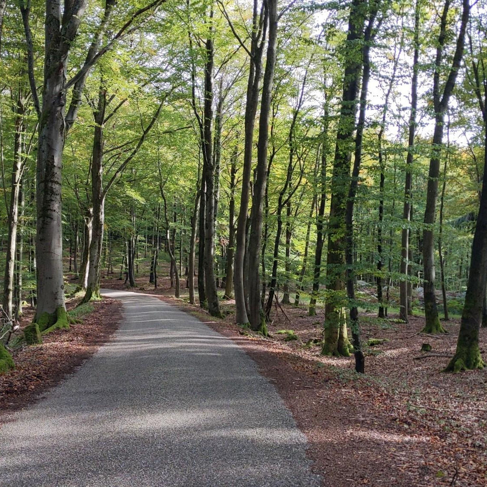
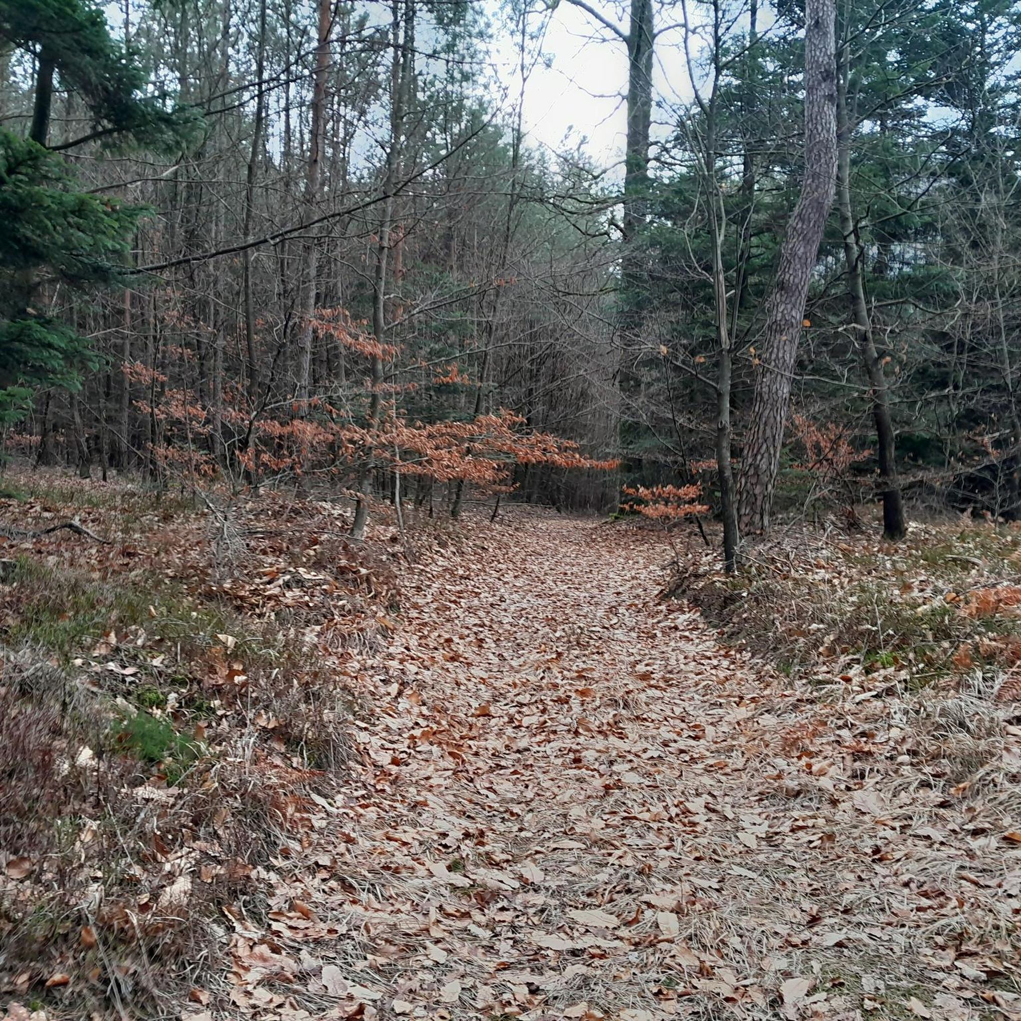
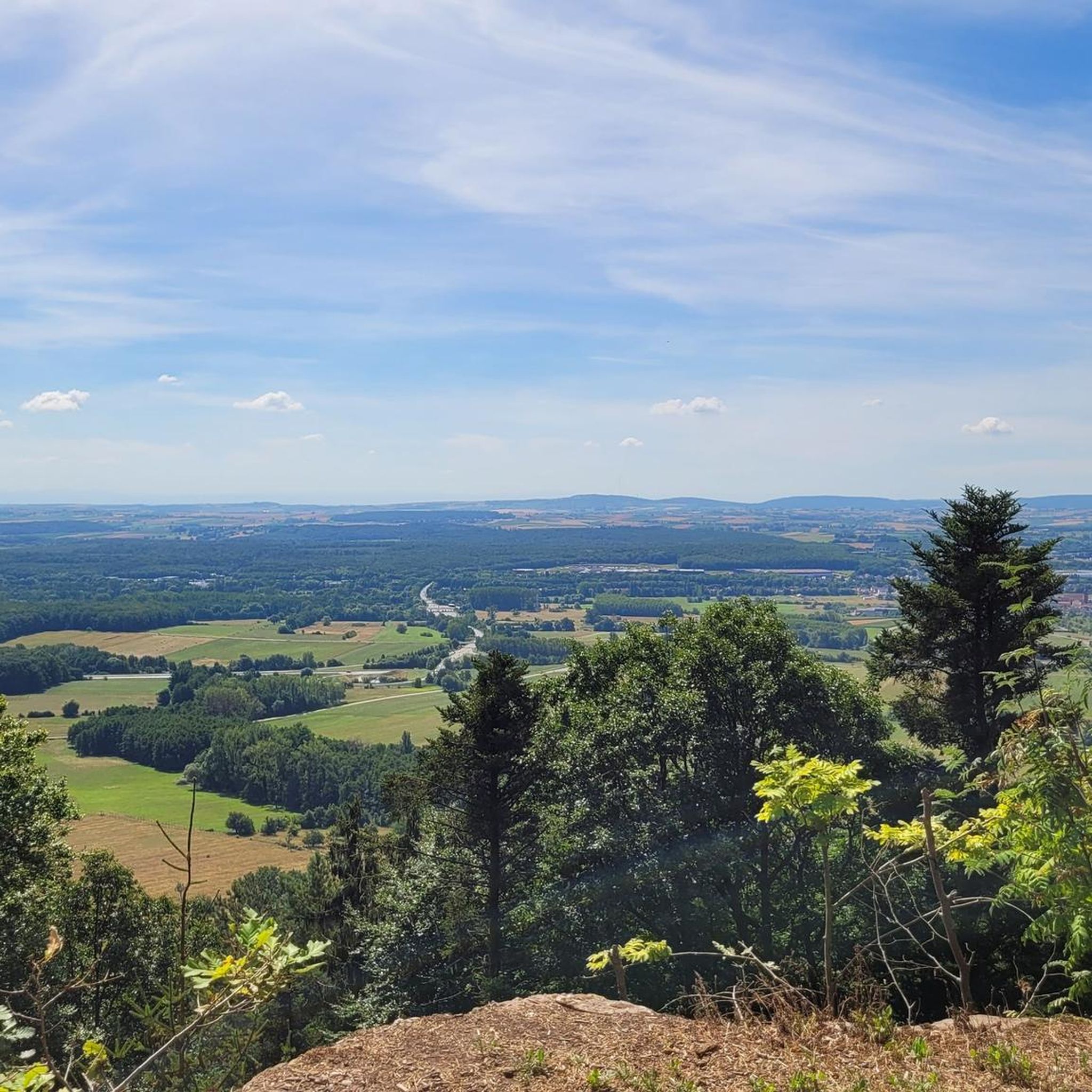

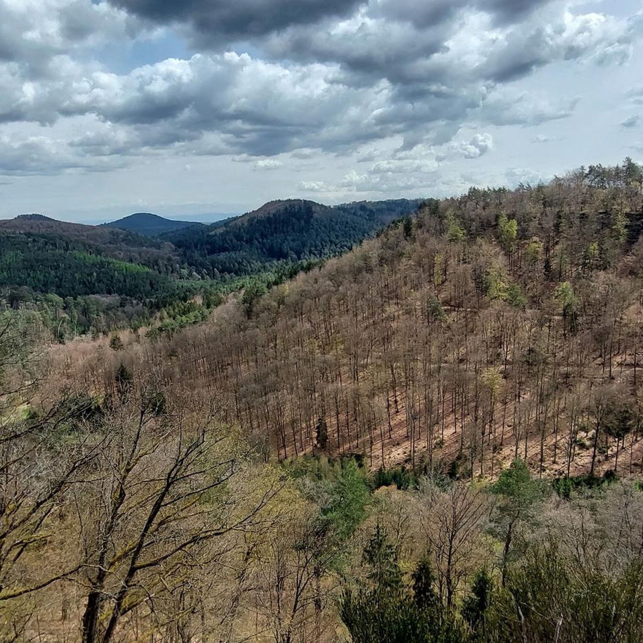
Tips from the Community


yes, a very large and very stately oak tree
2
0
The climb is easy to do from both sides and without ramps
2
0

A beautiful place. What I don't understand: How can you be so ignorant and put a pile of shit garnished with lots of speed right behind the rocks 😡😡
6
1

Very beautiful place, you can take shelter there in case of bad weather and eat a bite on the huge Vosges sandstone table. The hike all around is nice and easy. The trails are almost all clear.
0
0

Ryumon Ji Buddhist Temple - Weiterswiller
0
0
Remarkable oak from ca. 1600; Trunk circumference about 6.3 m
2
0
Frequently Asked Questions
How many hiking trails are available around Neuweiler?
Neuweiler offers a wide variety of hiking experiences, with over 60 trails available. These routes cater to different preferences, from leisurely strolls to more challenging treks through the diverse landscapes of the Northern Black Forest.
Are there hiking trails suitable for families with children in Neuweiler?
Yes, Neuweiler has several family-friendly options. Many of the 20 easy trails are suitable for families. The region's natural features, like the Wildsee-Hochmoor with its information boards, and the nearby Haut-Barr Castle, offer engaging points of interest for all ages.
Can I bring my dog on the hiking trails in Neuweiler?
Most hiking trails in Neuweiler are dog-friendly, allowing you to explore the beautiful forest and river landscapes with your canine companion. It's always recommended to keep dogs on a leash, especially in nature reserves like Falchenwiesen and Köllbach valley, to protect local wildlife.
What kind of natural features or landmarks can I expect to see while hiking in Neuweiler?
Neuweiler is rich in natural beauty and landmarks. You can explore the unique Wildsee-Hochmoor, Germany's largest natural high moor, or enjoy the picturesque Kleine Enz river. Notable viewpoints like the AugenBlick in Oberkollwangen offer breathtaking long-distance views. Historic sites such as Haut-Barr Castle are also accessible along some routes.
Are there any circular hiking routes in Neuweiler?
Yes, many of the trails around Neuweiler are designed as circular routes, allowing you to start and end at the same point. For example, the Château de Hunebourg – Grotte d'Amour loop from Saverne is a popular moderate circular path, and the Hiking loop from Dossenheim-sur-Zinsel offers an easier option.
What is the best time of year to go hiking in Neuweiler?
Neuweiler offers beautiful hiking opportunities throughout the year. Spring brings vibrant greenery and blooming wild crocuses, while summer provides lush forests and pleasant temperatures. Autumn showcases stunning fall foliage, and winter transforms the landscape into a serene, snow-covered wonderland, ideal for quiet walks.
Are there options for easy, less strenuous hikes in Neuweiler?
Absolutely. Neuweiler has 20 easy trails, perfect for a relaxed walk. An example is the Grotte d'Amour – Château de Hunebourg loop from Saverne, which is an easy 3.4-mile route with varied terrain suitable for a leisurely experience.
What do other hikers say about the trails in Neuweiler?
The trails in Neuweiler are highly regarded by the komoot community, holding an average rating of 4.4 stars from over 590 reviews. Hikers often praise the diverse landscapes, well-maintained paths, and the opportunity to immerse themselves in the tranquil Black Forest environment.
Are there any long-distance hiking options or more challenging trails?
For those seeking a greater challenge, Neuweiler offers 13 difficult trails. An example of a longer route is the Château de Hunebourg – Carrefour des Trois Chênes loop from La Petite-Pierre, which spans over 22 kilometers and features significant elevation changes, providing a demanding yet rewarding experience.
Are there places to eat or rest near the hiking trails in Neuweiler?
Yes, the region has options for refreshments. The Wanderheim Zavelstein, a popular hiking lodge, serves as a great starting point for hikes and offers a place to rest and refuel. Additionally, the various towns in the area provide local cafes and pubs.
What are the elevation changes like on trails in Neuweiler?
Neuweiler's location on a plateau between the Nagold and Enz rivers means trails feature varied terrain. Elevations range from 439 to 764 meters (1,440 to 2,507 feet), so you can find routes with gentle inclines or more significant climbs, depending on your preference.
Can I spot wildlife while hiking in Neuweiler?
The extensive forest cover and nature reserves like Falchenwiesen and Köllbach valley make Neuweiler an excellent area for wildlife spotting. Keep an eye out for various birds, deer, and other forest inhabitants. The Animal and Nature Experience Trail is specifically designed to help visitors observe local flora and fauna.
Most popular routes around Neuweiler
Most popular attractions around Neuweiler

Get inspired with the komoot mobile app


Explore more
Browse the best Hikes in other regions.
