The best walks and hikes around Trambly
4.6
(139)
595
hikers
82
hikes
Hiking around Trambly offers a diverse landscape characterized by rolling hills, serene ponds, and forested areas. The region provides a mix of terrain, from gentle paths around water bodies to more challenging ascents. These natural features create varied environments for outdoor exploration.
Best hiking trails around Trambly
- The most popular hiking route is Montagne de Saint-Cyr Loop from Matour, a 10.1 miles (16.2 km) trail that takes 4 hours 54 minutes to complete. This moderate route features notable elevation…
Last updated: June 25, 2026
4.0
(1)
3
hikers
16.2km
04:55
530m
530m
Hike the moderate 10.1-mile Montagne de Saint-Cyr loop from Matour for panoramic views and diverse forest and meadow terrain.
5.0
(5)
28
hikers
3.84km
01:05
80m
80m
Easy hike. Great for any fitness level. Easily-accessible paths. Suitable for all skill levels.

Sign up for free
5.0
(4)
17
hikers
6.04km
01:40
100m
100m
Easy hike. Great for any fitness level. Easily-accessible paths. Suitable for all skill levels.
3.0
(1)
32
hikers
Easy hike. Great for any fitness level. Easily-accessible paths. Suitable for all skill levels.
5.0
(6)
17
hikers
8.47km
02:31
250m
250m
Moderate hike. Good fitness required. Easily-accessible paths. Suitable for all skill levels.
Get access to more routes and recommendations from other explorers.
Sign up for free
Already have an account?
Our route recommendations are based on thousands of hikes, rides, and runs completed by other people on komoot.
Start today with a free account
Your next adventure awaits.
Login or Signup
Tips from the Community

Beautiful small lake that invites you to swim, not too crowded and warm in summer.
0
0

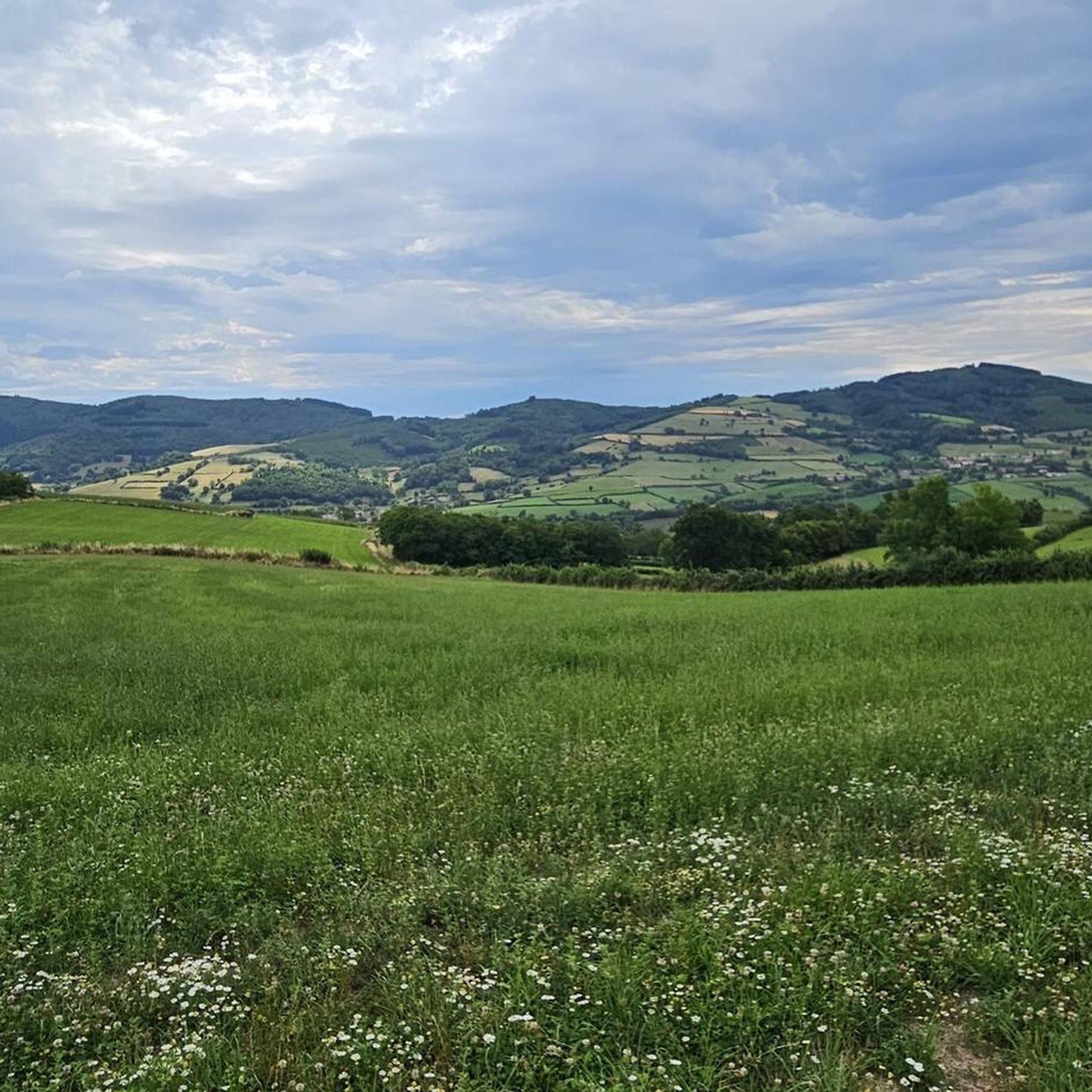
Mont Saint-Cyr is located in southern Burgundy (Saône-et-Loire department) in the municipality of Montmelard and, at 771 meters, is the highest point of the Mâconnais mountains. From the summit, there is a wide panoramic view of the surrounding landscapes of Charolais, Brionnais, and Clunisois. In very clear weather, the view extends eastwards to Mont Blanc in the Alps. On the mountain are the historical remains of a 10th-century monastery, which was destroyed during the Huguenot Wars. There is a picnic area in the forest as well as orientation panels that are helpful in identifying the surrounding peaks and valleys.
0
0
The lake is located in the French region of Bourgogne-Franche-Comté, in the département of Doubs, at an altitude of around 850 meters. After Lac du Bourget and Lac d'Annecy, it is the third largest natural lake in France. It is a very popular swimming lake in the summer and offers opportunities for kayaking, windsurfing, and stand-up paddling. There is also a popular hiking trail around the entire lake, approximately 20 kilometers long.
1
0
The lake is located in the Doubs department in the French region of Bourgogne-Franche-Comté at an altitude of around 850 meters. After Lac du Bourget and Lac d'Annecy, it is the third largest natural lake in France. It is a very popular lake for swimming in the summer and offers opportunities for kayaking, windsurfing, and stand-up paddling. There is also a popular hiking trail around the entire lake, approximately 20 kilometers long.
1
0

There's a circular trail and many nice, secluded spots. The campsite has a cafe, which is unfortunately closed at lunchtime, but still offers shady seating, toilets, and fresh water.
1
0


Impressive views over southern Burgundy and Haut-Beaujolais
1
0

Beautifully located lake with a great place to stop for a break...
2
0
Frequently Asked Questions
How many hiking trails are available around Trambly?
Trambly offers a wide selection of hiking trails, with over 80 routes recorded on komoot. These range from easy strolls to more challenging hikes, catering to various fitness levels.
Are there easy hiking trails suitable for beginners or families in Trambly?
Yes, Trambly has 23 easy hiking routes perfect for beginners or families. An excellent option is the Vernée-Dompierre Pond loop from Dompierre-les-Ormes, which offers a gentle 3.8 km walk around a tranquil pond. Another easy choice is the Lake Saint-Point loop from Saint-Point, a short 1.9 km path with pleasant lakeside scenery.
What kind of views can I expect on hikes around Trambly?
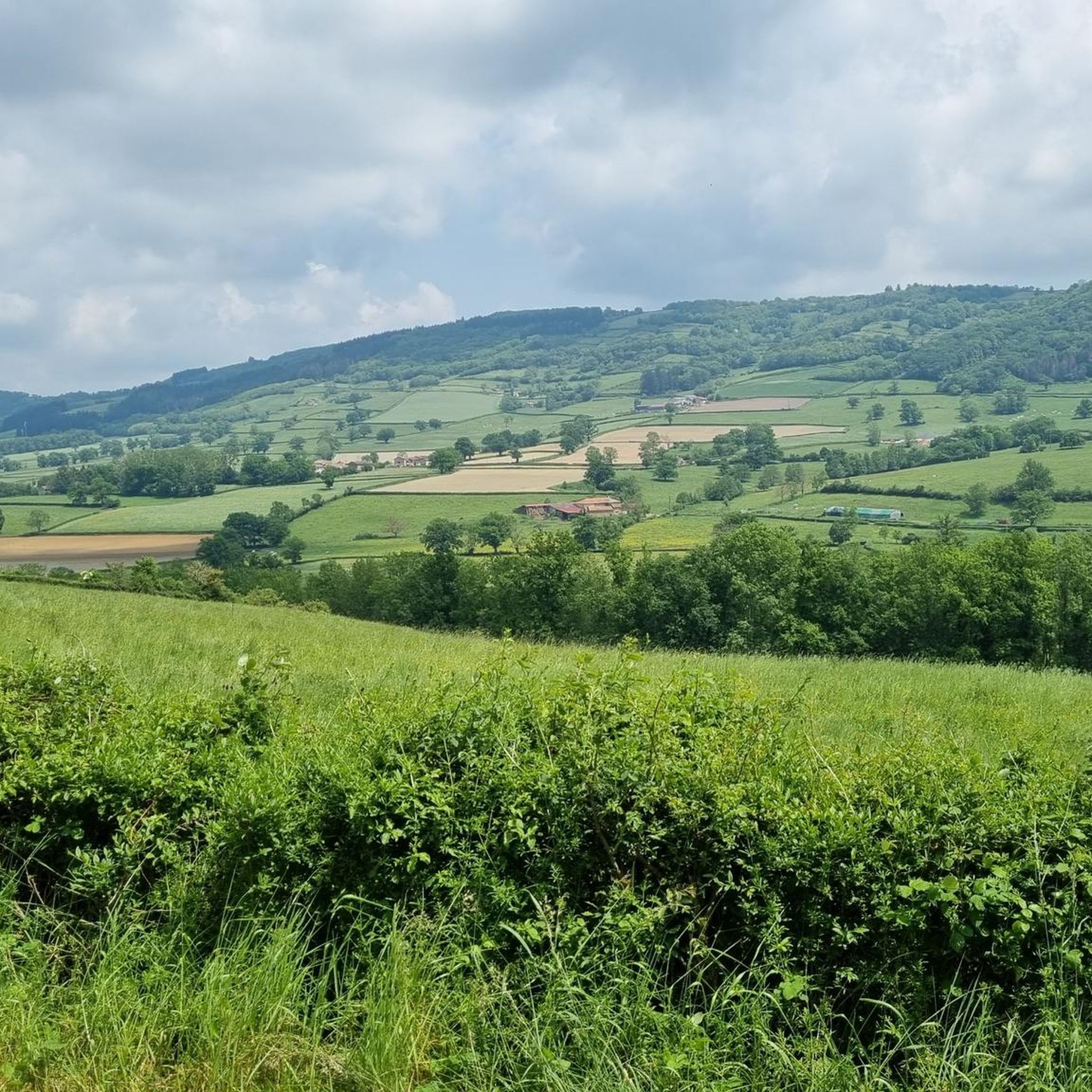
Hiking around Trambly offers diverse scenery, including rolling hills, serene ponds, and dense forested areas. Many routes provide panoramic views of the surrounding countryside, particularly from higher elevations. For notable views, consider the Montagne de Saint-Cyr Loop from Matour, which features significant elevation gain and expansive vistas.
Are there any circular walks available in the Trambly area?
Yes, many of the trails around Trambly are circular, allowing you to start and end at the same point. Examples include the Vernée-Dompierre Pond loop from Dompierre-les-Ormes and the Étang de Pézanin loop from Dompierre-les-Ormes, both offering pleasant loops around water bodies.
What are some interesting places or landmarks to see near Trambly while hiking?
The Trambly area is rich with points of interest. You can explore the historic Tunnel du bois clair, visit the charming village of Tramayes, or discover the summit of Mount St. Cyr, which often provides excellent views.
What do other hikers enjoy most about the trails in Trambly?
The hiking trails in Trambly are highly rated by the komoot community, with an average score of 4.6 stars from over 130 reviews. Hikers often praise the region's diverse landscape, including its rolling hills, tranquil ponds, and well-maintained forest paths, which offer a varied and enjoyable outdoor experience.
What is the best time of year to go hiking in Trambly?
Trambly offers enjoyable hiking throughout much of the year. Spring and autumn provide pleasant temperatures and beautiful scenery with blooming flowers or vibrant fall foliage. Summer is also popular, especially for trails near water bodies, while winter can offer a unique, serene experience on suitable routes, though some paths may be muddy or icy.
Are there any moderate hikes for those looking for a bit more challenge?
Yes, Trambly features 52 moderate hiking routes. A good option for a more challenging experience is the View of Matour loop from Matour, an 8.2 km trail with significant elevation changes, offering rewarding views.
Are there any trails around Trambly that pass by ponds or lakes?
Absolutely. The region is known for its serene ponds and lakes. The Vernée-Dompierre Pond loop from Dompierre-les-Ormes and the Étang de Pézanin loop from Dompierre-les-Ormes are both excellent choices for walks around beautiful water features.
What should I wear for hiking in Trambly during autumn?
For autumn hiking in Trambly, it's advisable to dress in layers. The weather can be changeable, so waterproof and windproof outer layers are recommended. Comfortable, sturdy hiking boots are essential, as trails can be muddy or covered with fallen leaves. A hat and gloves might also be useful for cooler mornings and evenings.
Are there any hidden gem walks or less-trafficked trails in Trambly?
While popular routes like the Montagne de Saint-Cyr offer well-trodden paths, exploring some of the lesser-known trails around the smaller villages or deeper into the forested areas can reveal quieter, equally beautiful spots. Komoot's extensive selection of over 80 routes means there are always new paths to discover away from the main crowds.
Is there parking available at the trailheads in Trambly?
Parking availability varies by trailhead. Many routes, especially those starting from villages like Matour or Dompierre-les-Ormes, typically have designated parking areas or roadside spots nearby. It's always a good idea to check the specific tour details on komoot for information regarding parking at your chosen starting point.
Most popular attractions around Trambly

Get inspired with the komoot mobile app


Explore more
Browse the best Hikes in other regions.
